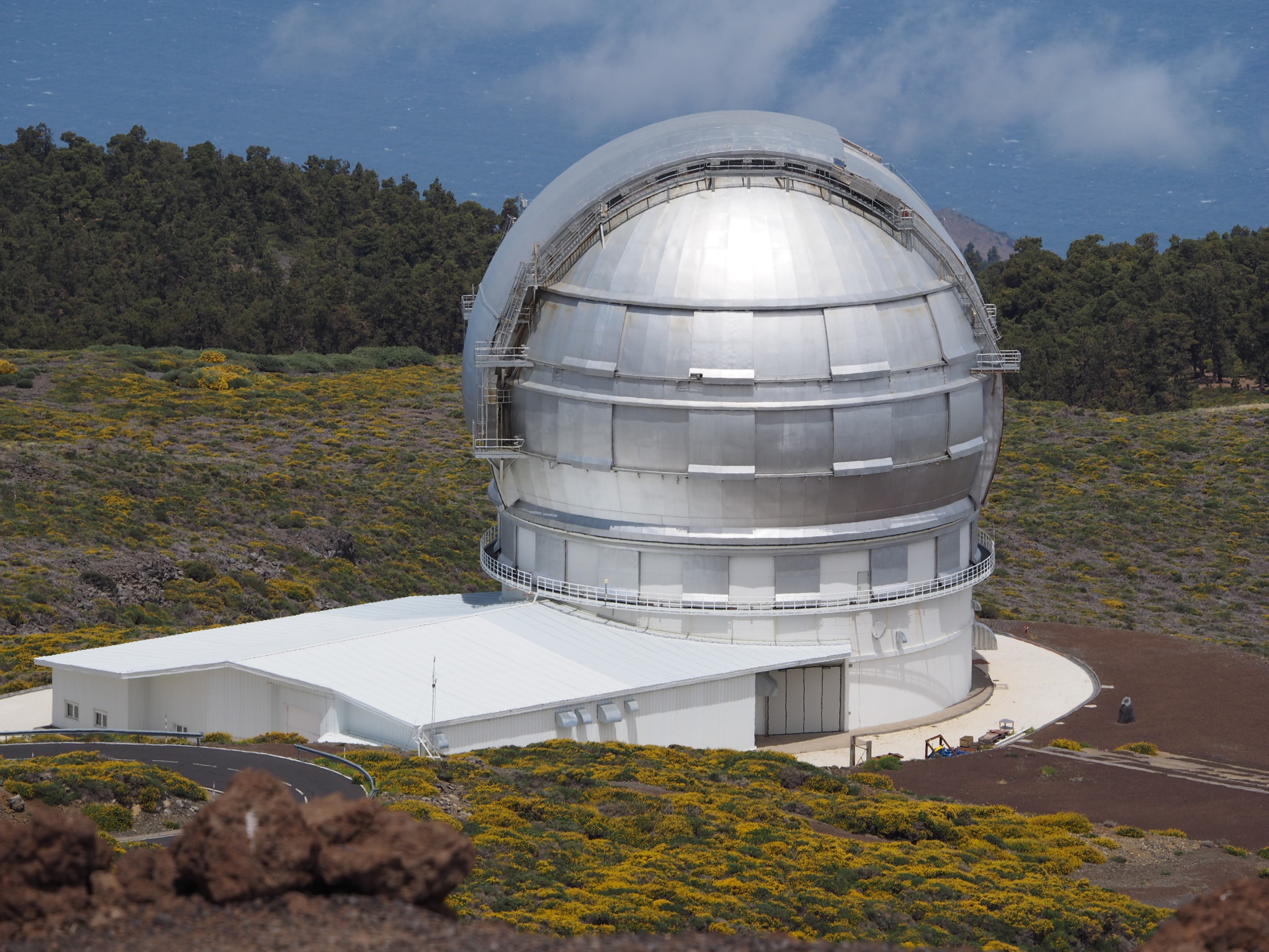
The Canary Islands are not well-known as a natural history destination to most Americans. The European community is more familiar with them because of their proximity and their touristic attractions. Here we describe some basic aspects of the geography of the islands. An authoritative, excellent source of geographical information of the Canary Islands, both cultural and natural, is the Canary Island Government GIS mapping page at: https://visor.grafcan.es/visorweb/ I would urge naturalists to explore the multitude of layers that are available for the islands and high spatial resolution. Some of the images discussed below are taken from screen captures generated from this website.
Location
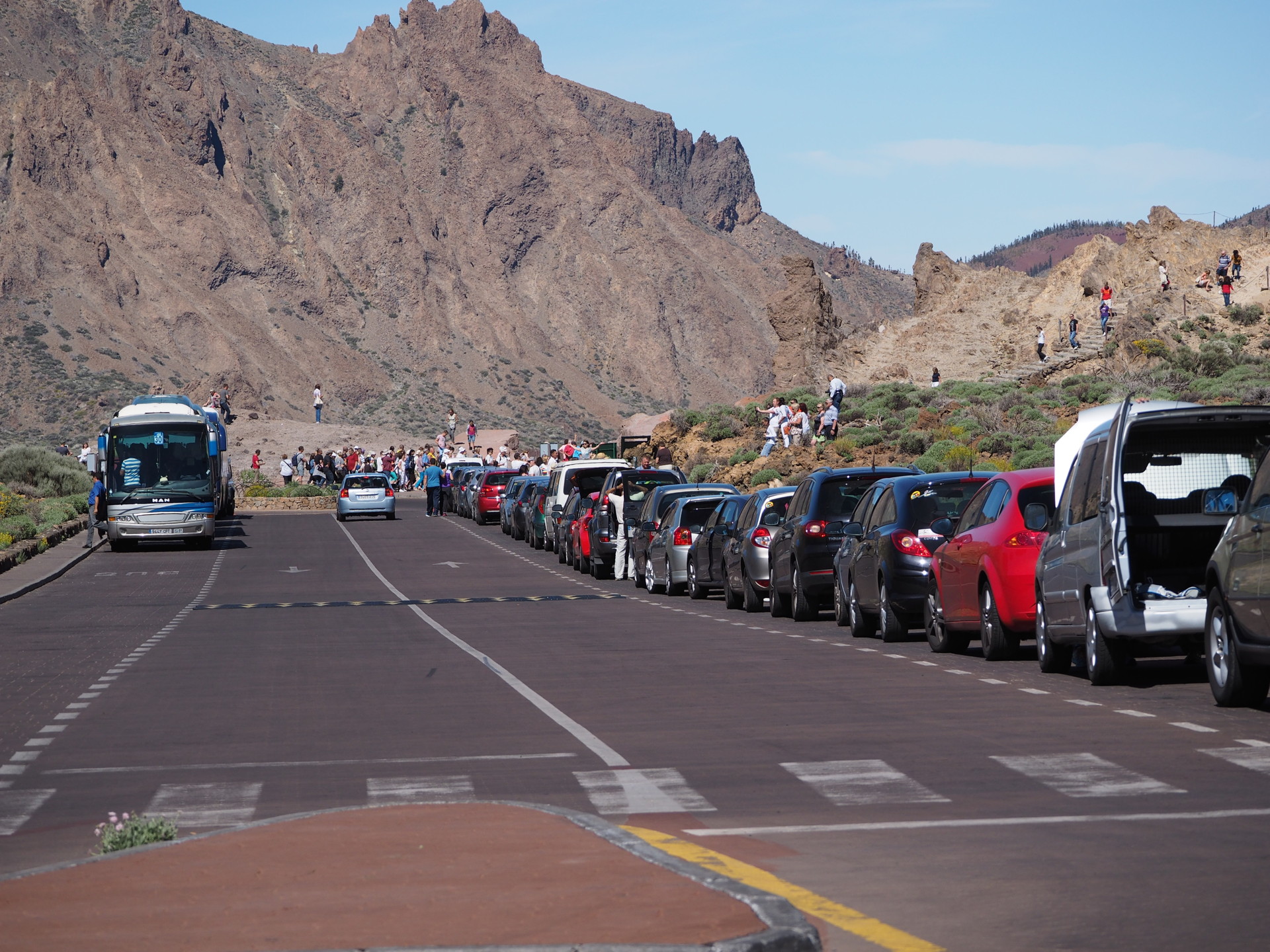
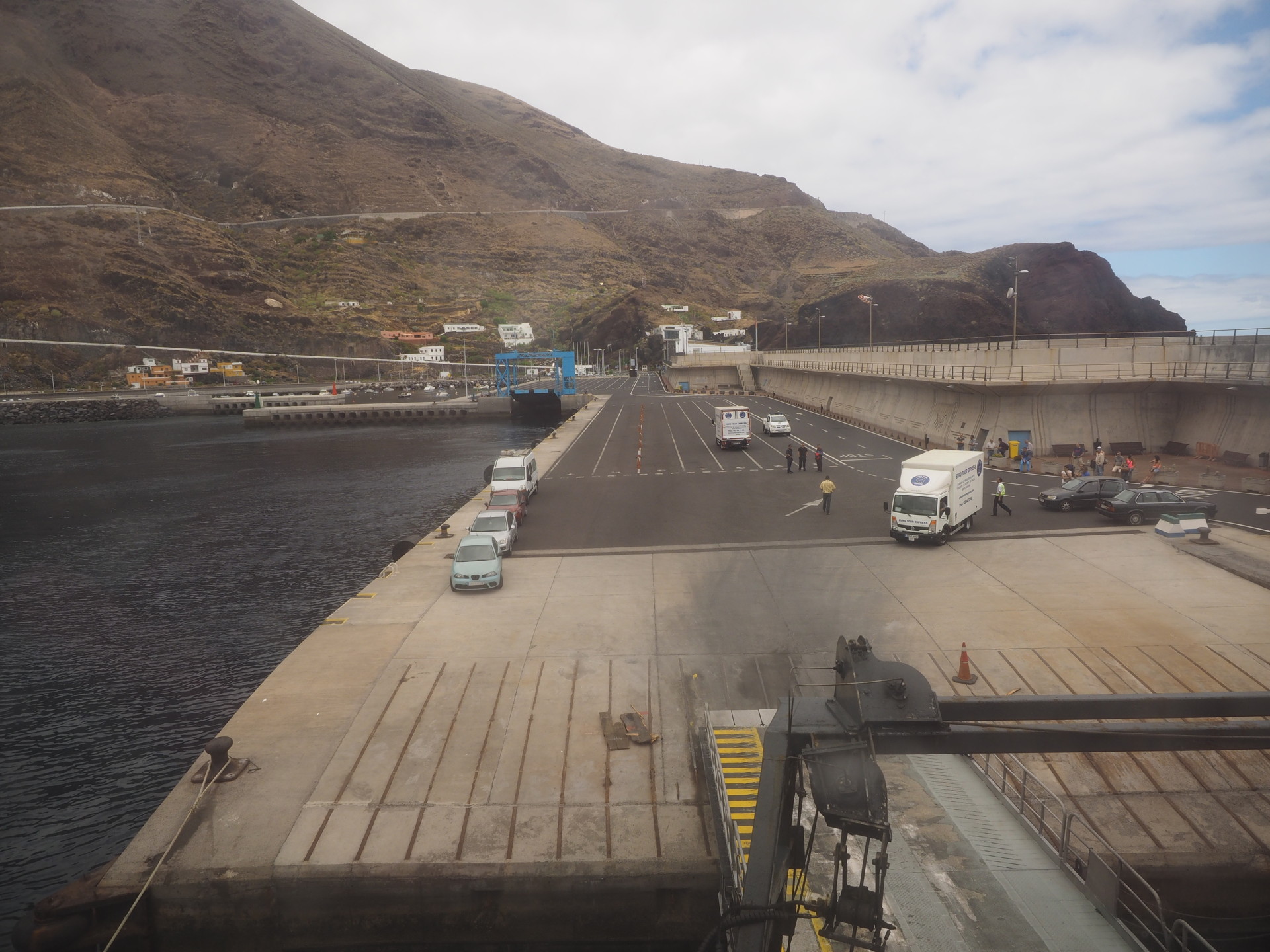
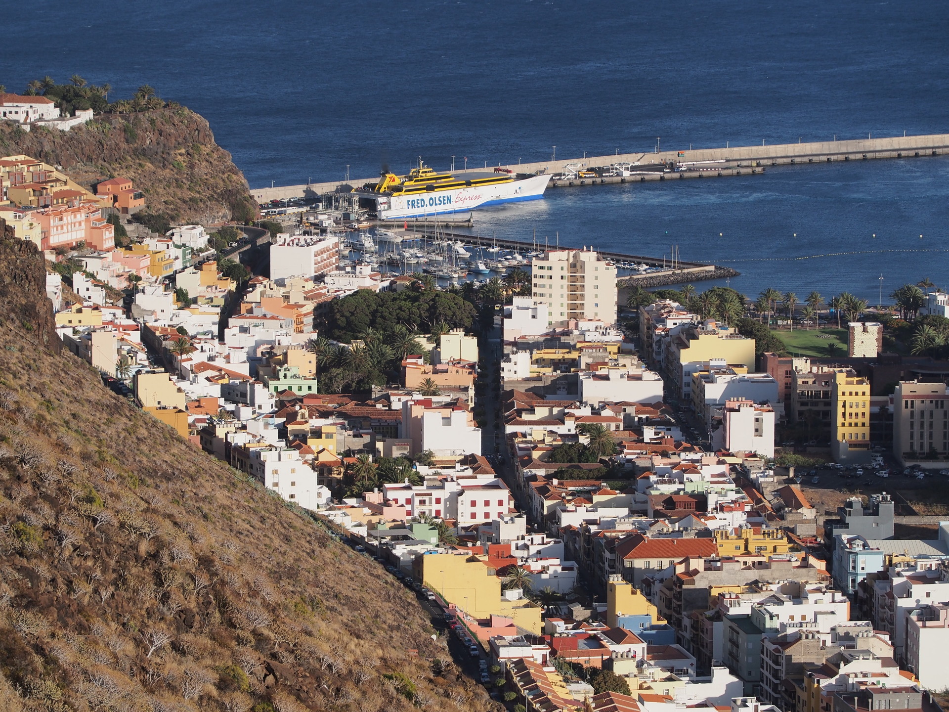
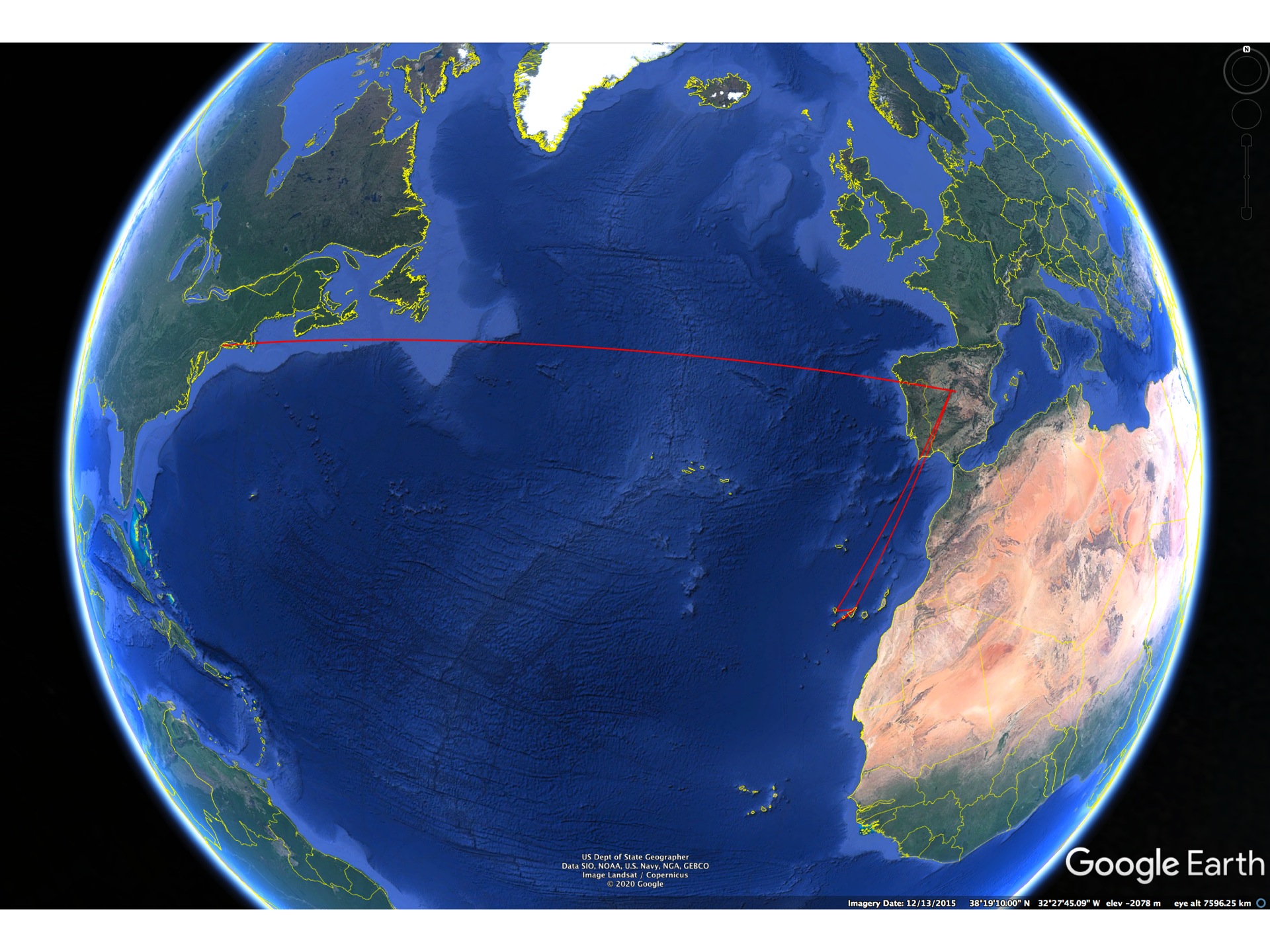
Visitation to the Canary Islands is dependent on how much time you have available. To visit from North America the easiest way is to first fly to Madrid and then take an internal flight to the Canary Islands (the major islands have direct flights from Madrid). Unfortunately (or perhaps fortunately since it allows you to spend time in Madrid) the scheduled flights to the Canary Islands may not allow for same day connections. If not, several days are involved in just getting to the islands from North America. This makes a vacation to the islands a bit short for those with only a week time-off. European visitors, on the other hand, often have direct flights from their respective countries so can arrive the same day, and with no jet-lag.
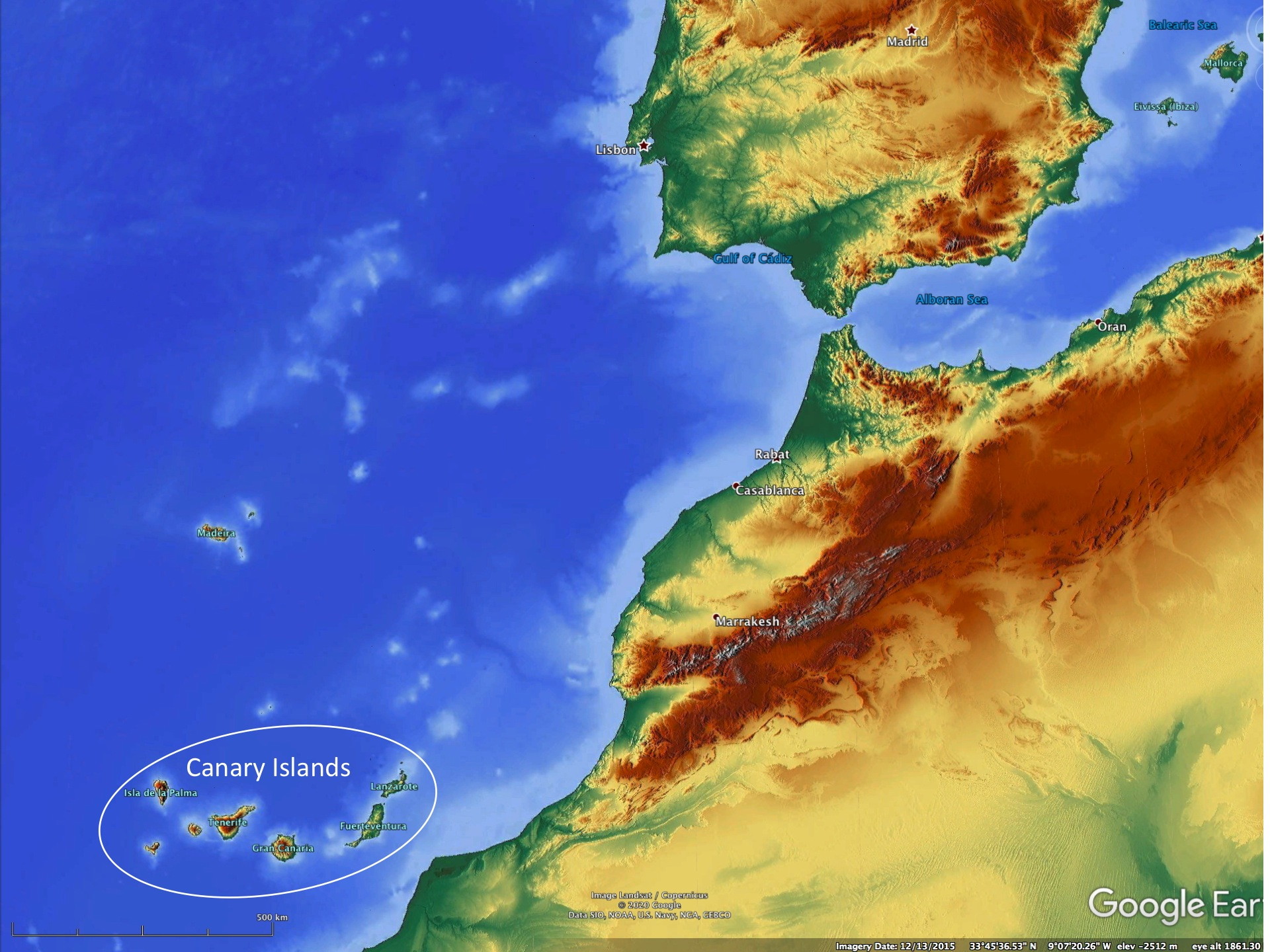
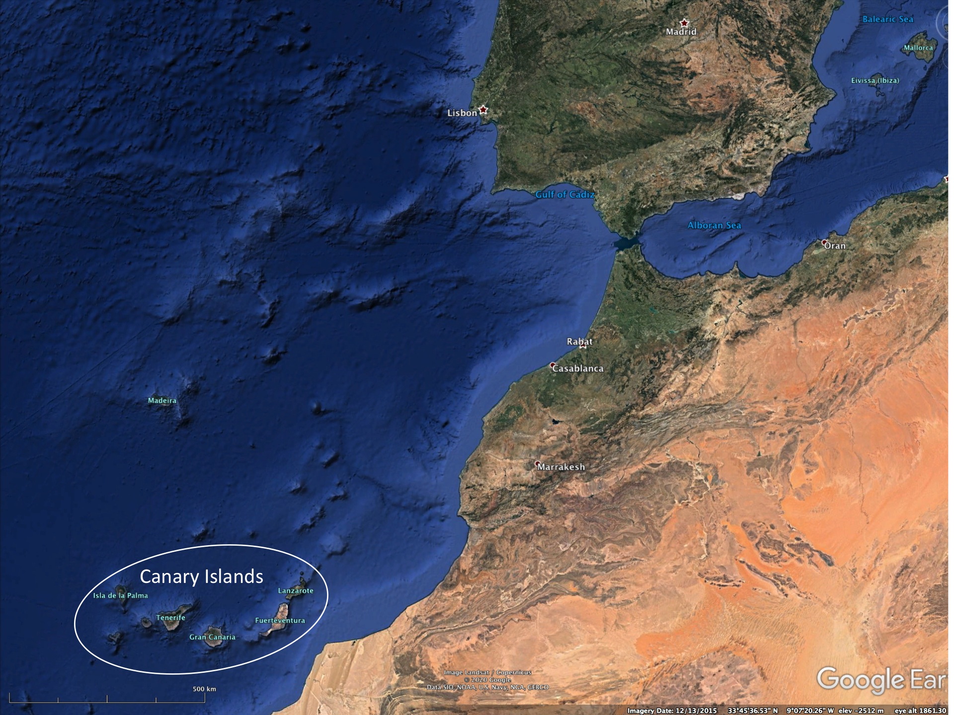
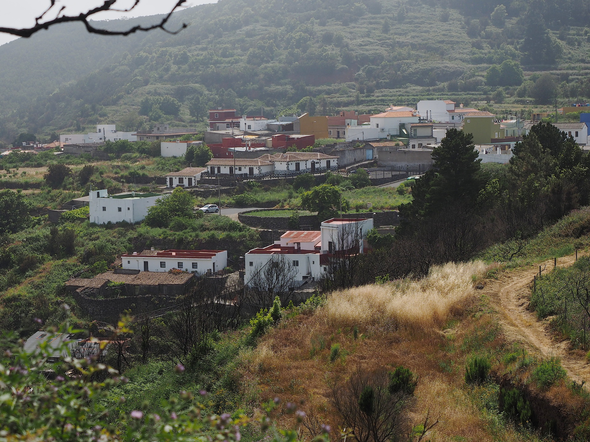
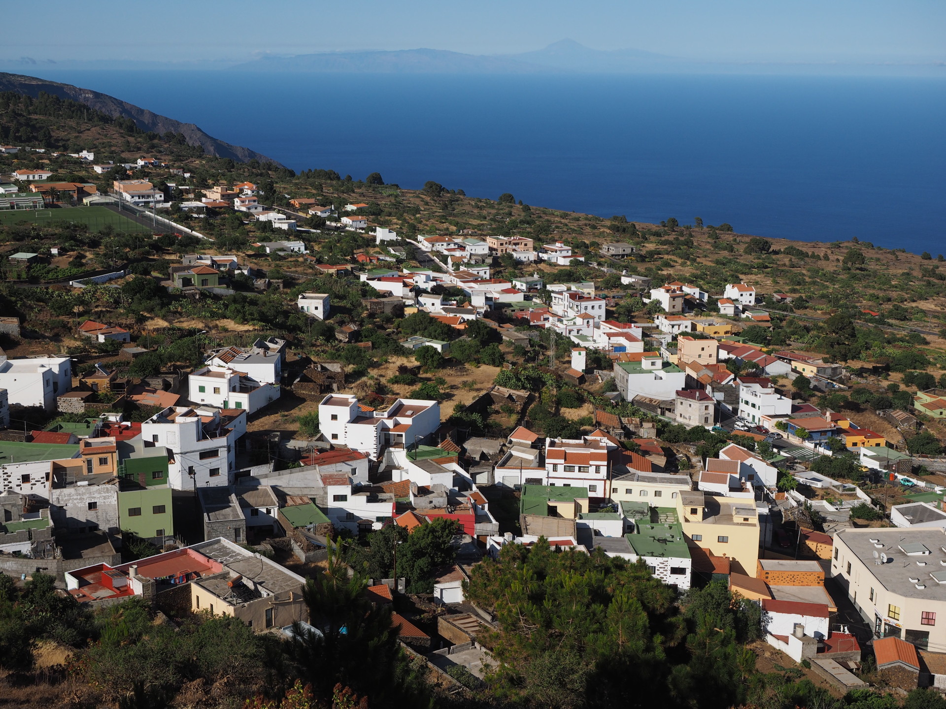
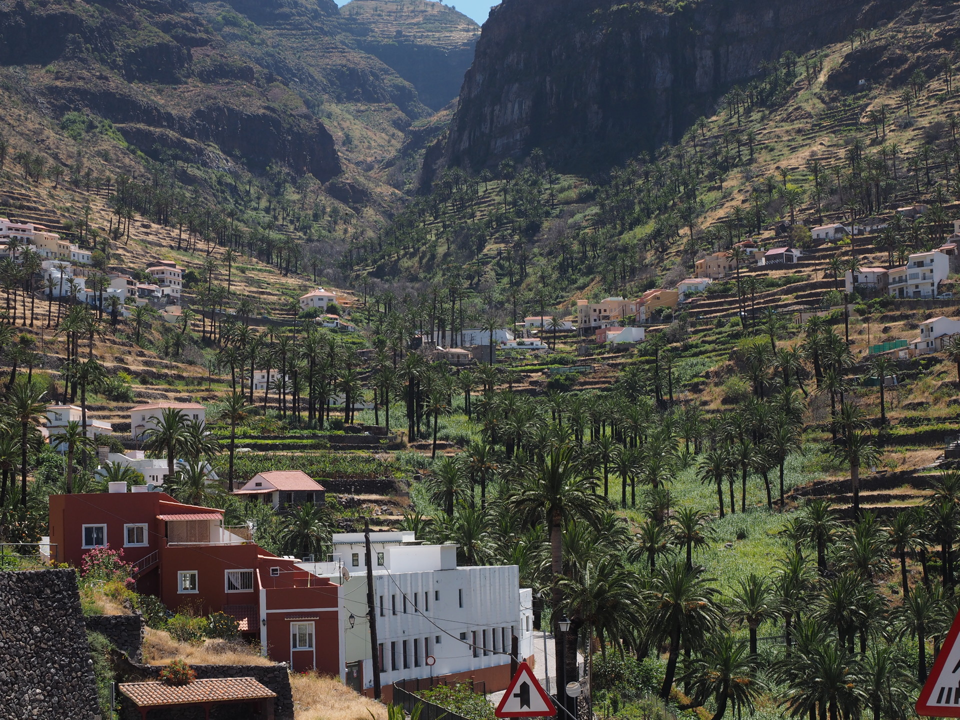
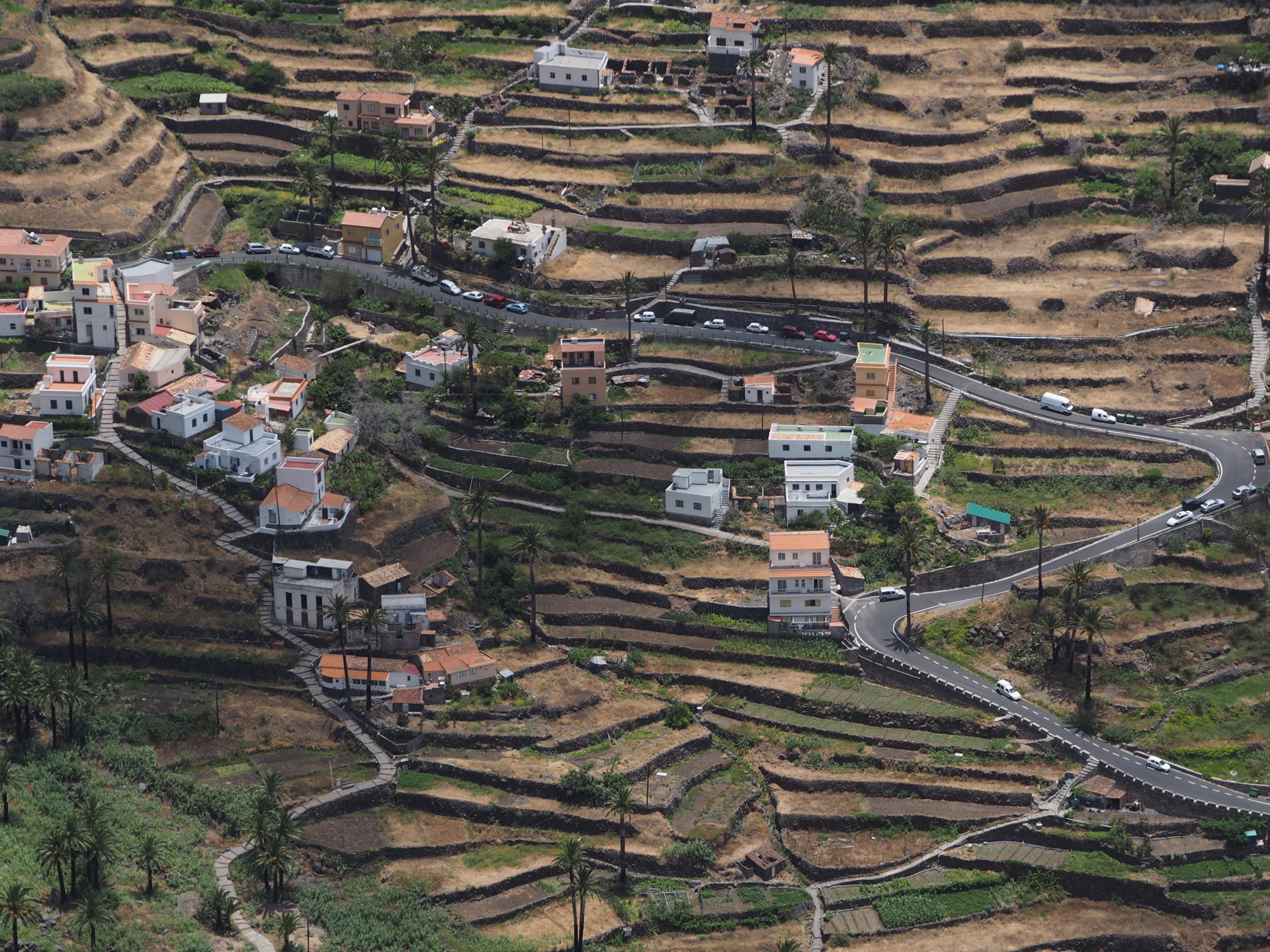
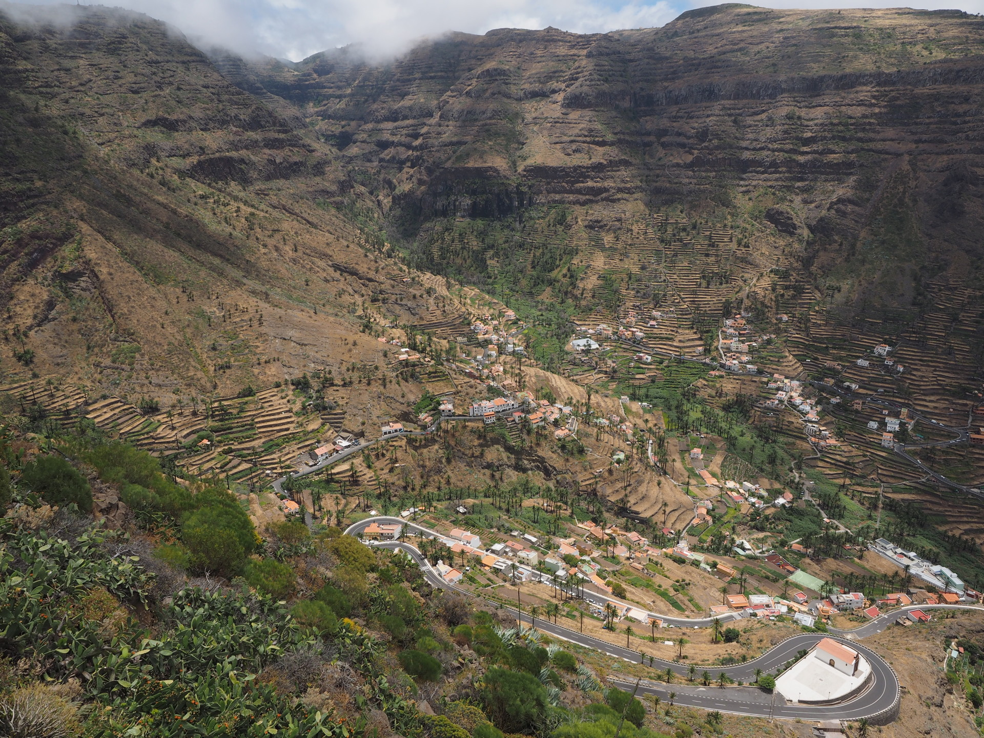
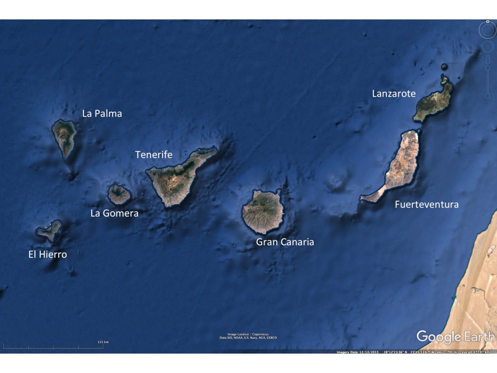
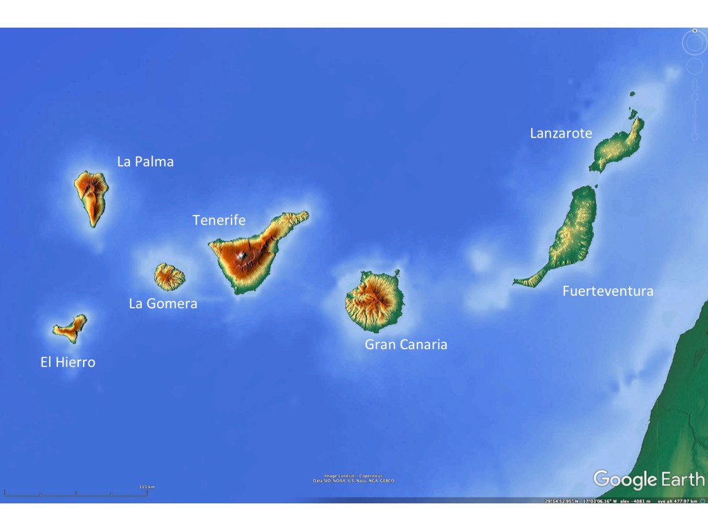
The seven main Canary Islands are arranged approximately east-west, with the lowest and driest islands closer to the African coast. Lanzarote and Fuerteventura, being lower than the other islands, do not block the northeast winds nearly as much as the higher islands and lack the moist upwind forests found on the other islands. They also lack the higher elevation pine forests of the western 5 islands.
Physical geography of the islands
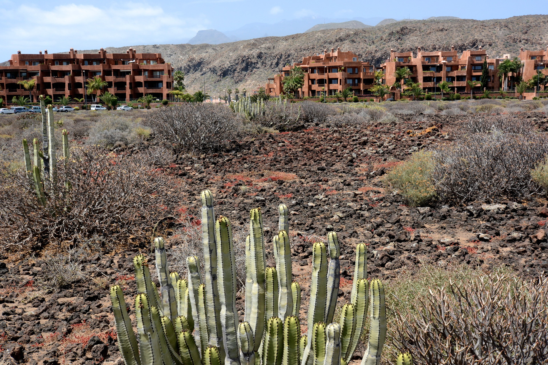
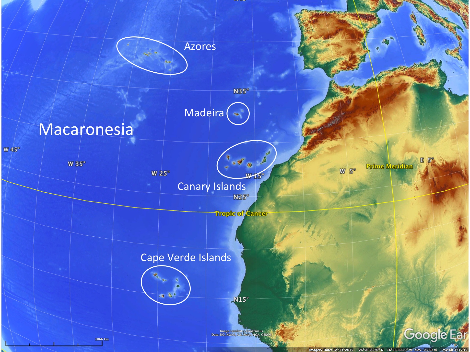
The Canary Islands are all volcanic in origin, though the ages differ and parts of some islands show little evidence of recent volcanism. They are part of what is termed Macaronesia – the extended volcanic island group that include the Azores, Madiera, the Canary Islands and the Cape Verde Islands. All of these island groups are volcanic in origin.
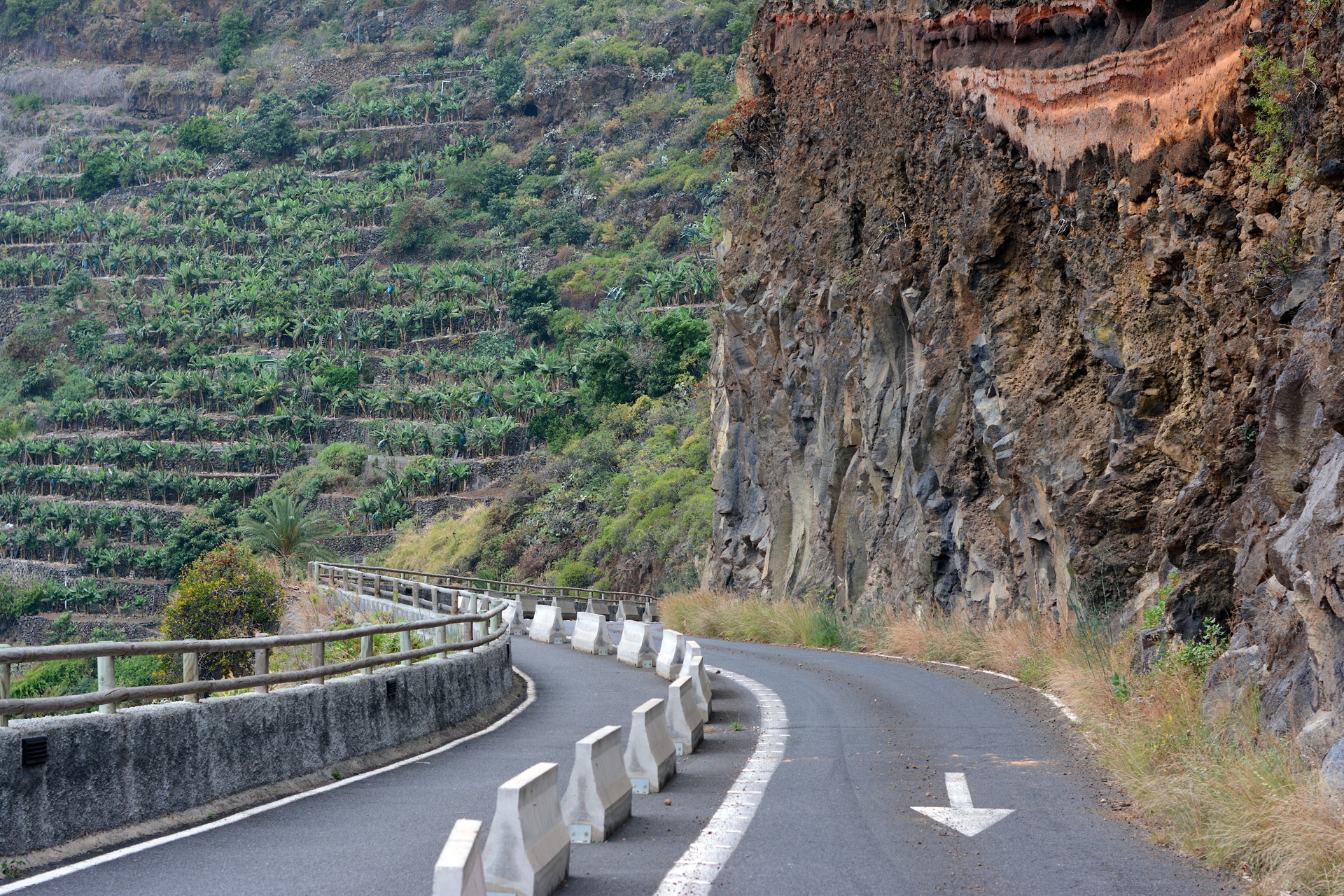
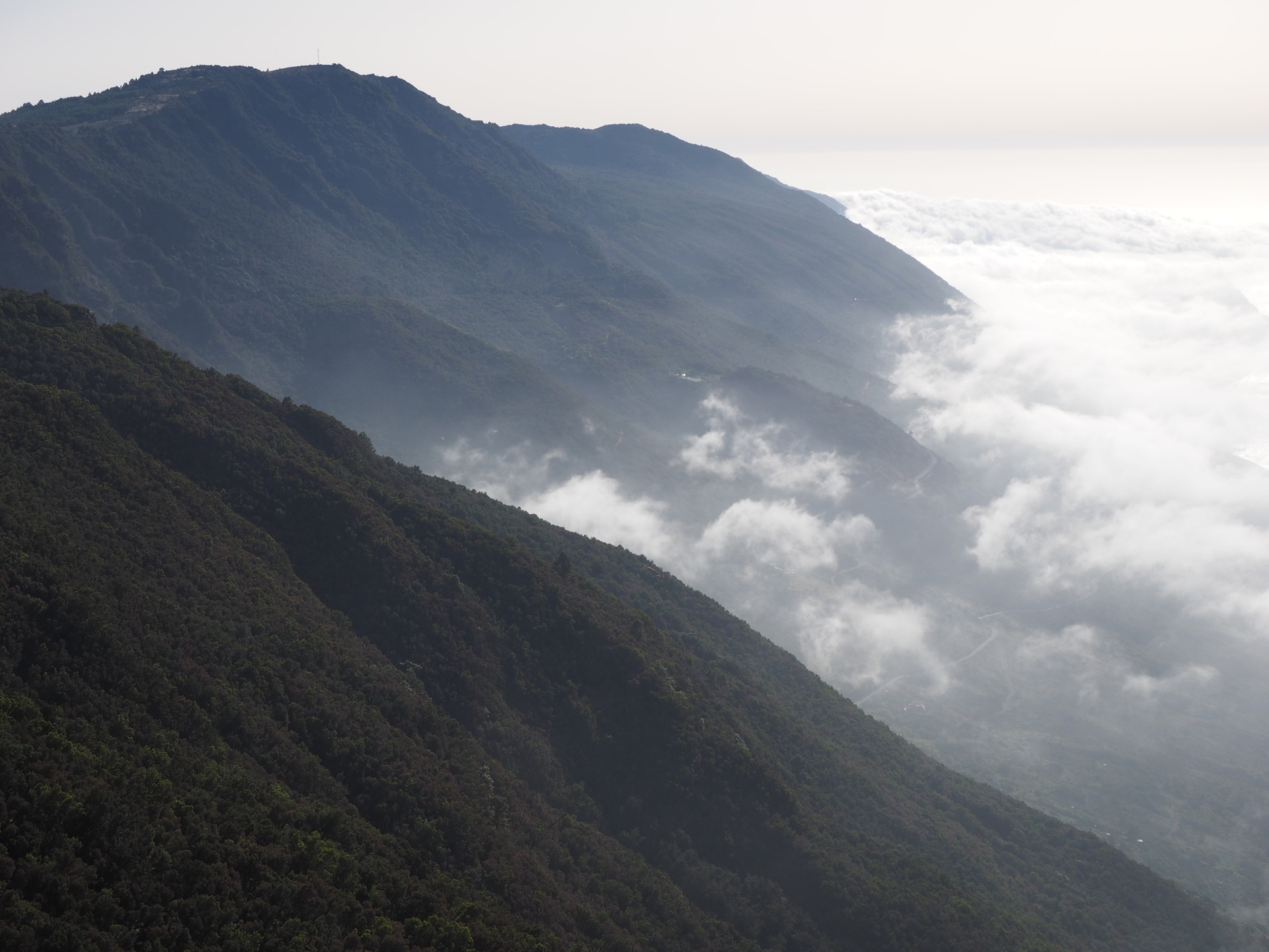
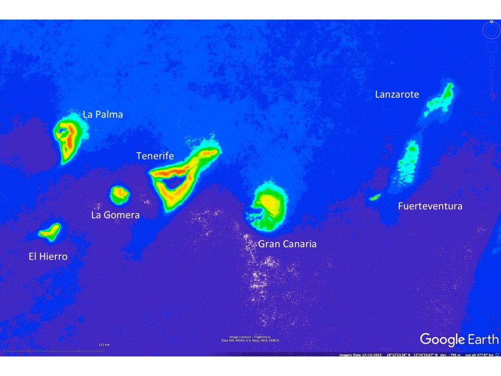
All volcanic islands are in a state of balance between erosion from rain/rivers and wave action at the coastline and the production of new land by volcanic eruptions. The longer an island has not see an eruption, the less evident will be the volcanic features like volcanic cones and fresh lava flows. In fact, coastal erosion will continually decrease the size of the island and rivers/runoff will decrease the altitude of the island. Another factor is also important; isostatic balance. A rapidly growing volcano extends well above the sea floor and if the eruption ends, the weight of the mountain will gradually force a subsidence of the volcano back towards the sea floor. Older islands eventually sink below the ocean’s surface – at which point erosion from rain/rivers and even from coastal wave action end. Thus there are many submerged volcanic mountains, termed seamounts or guyots, across the global oceans. In the vicinity of the Canary islands there are many seamounts evident in google earth.
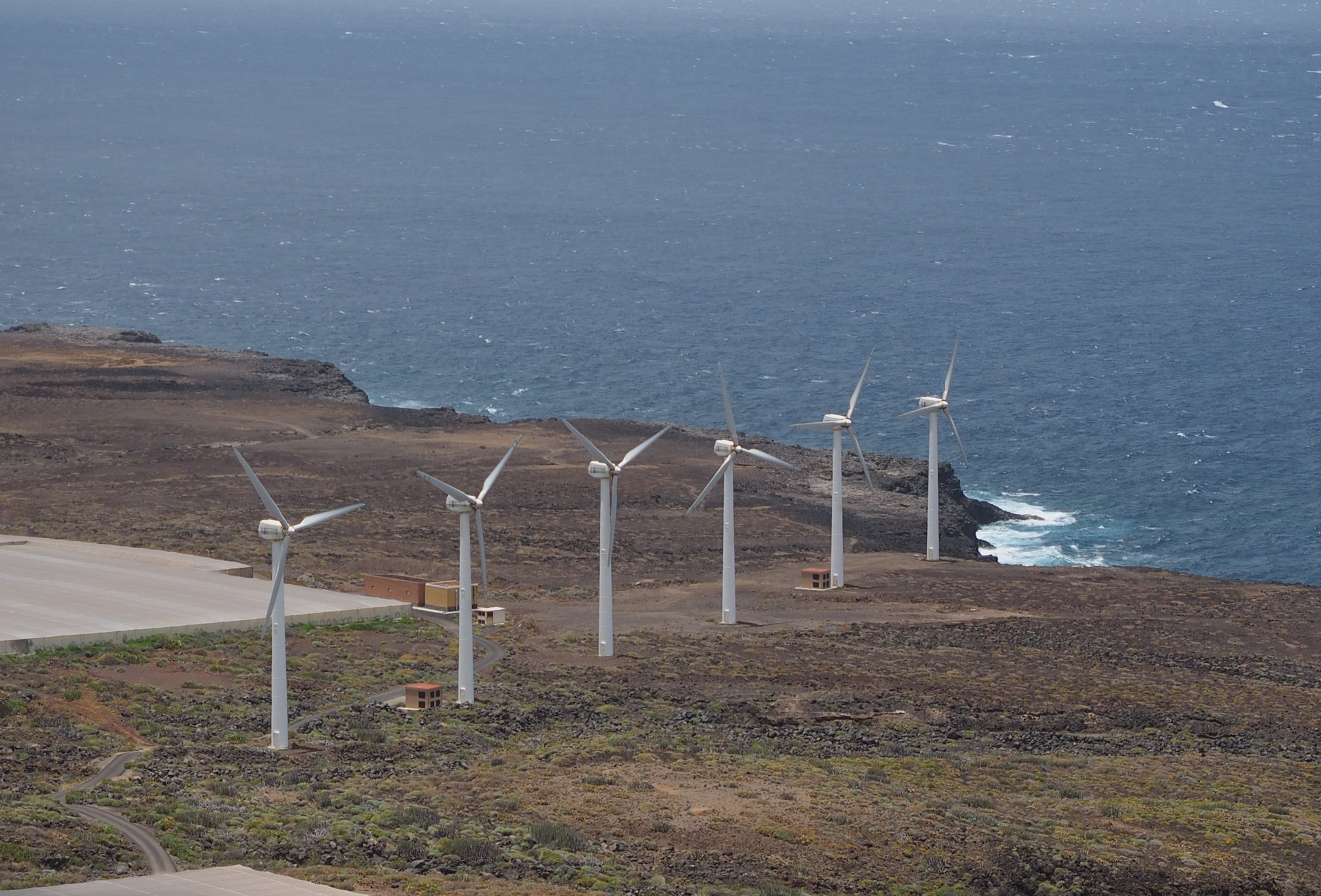
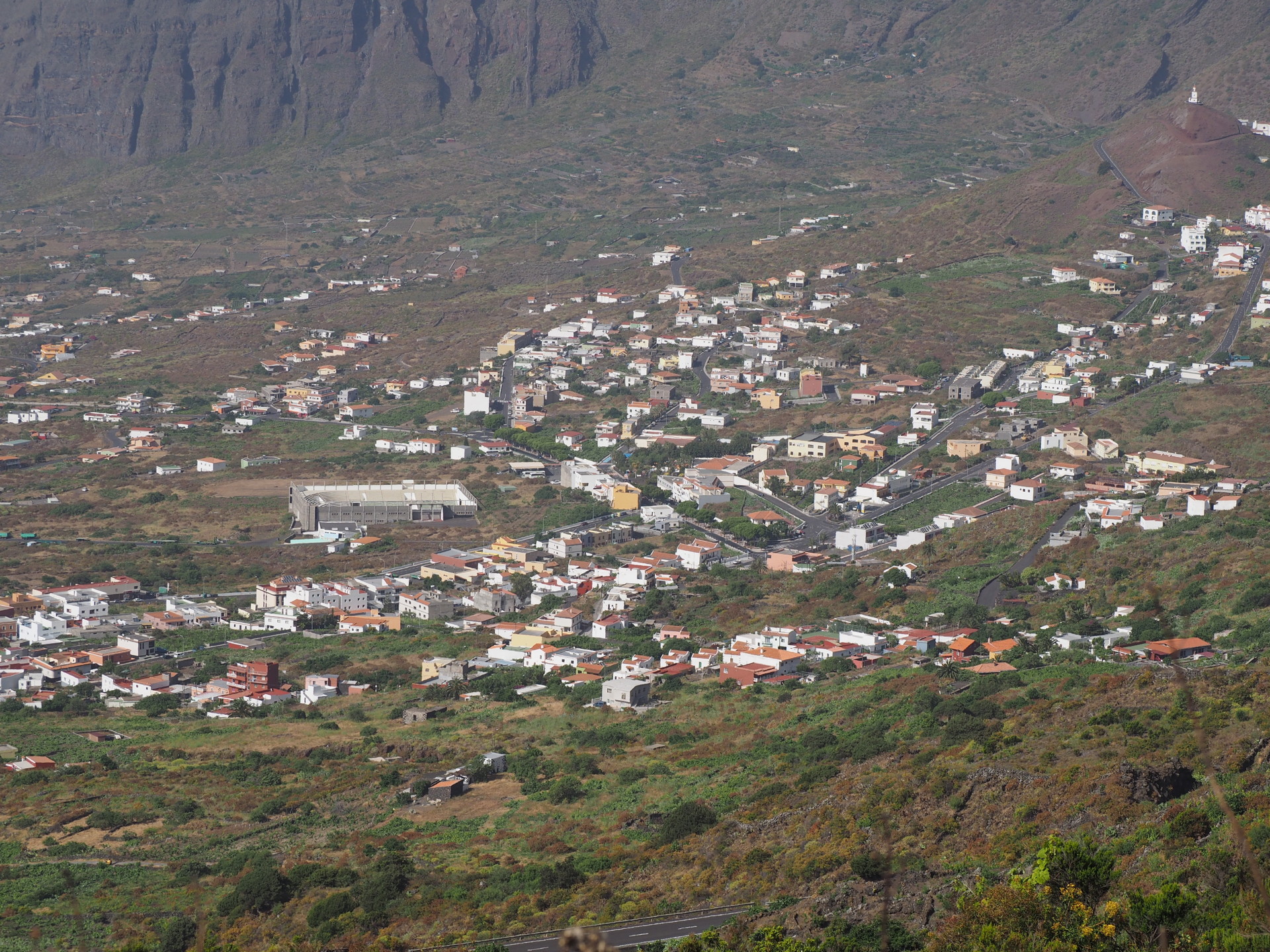
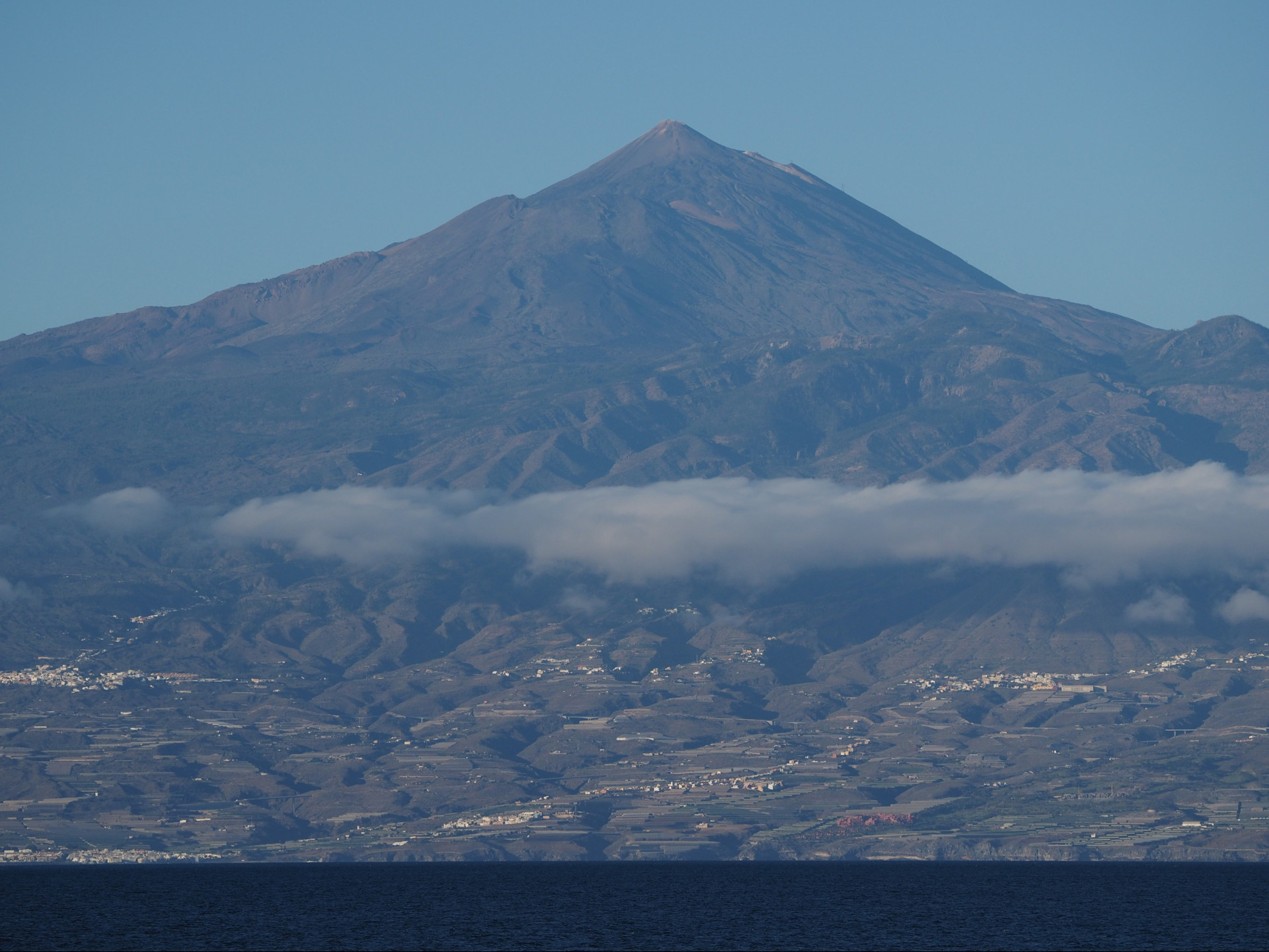
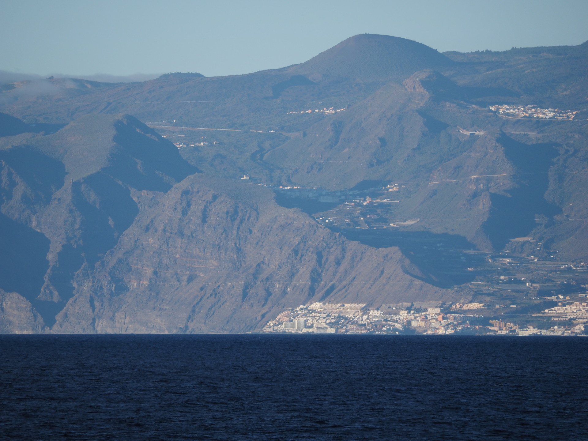
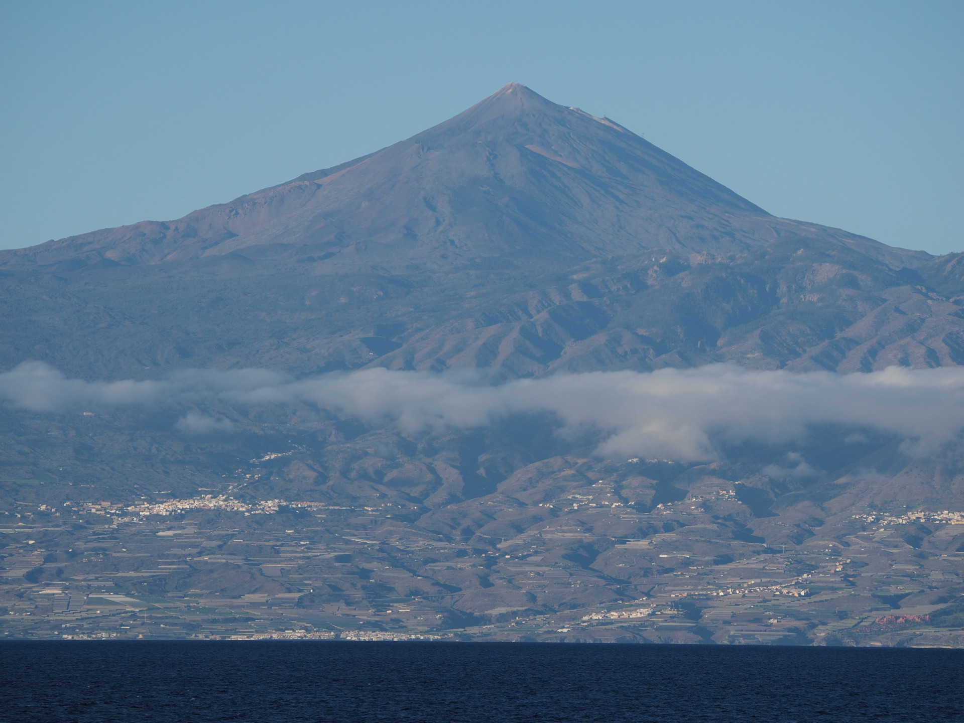
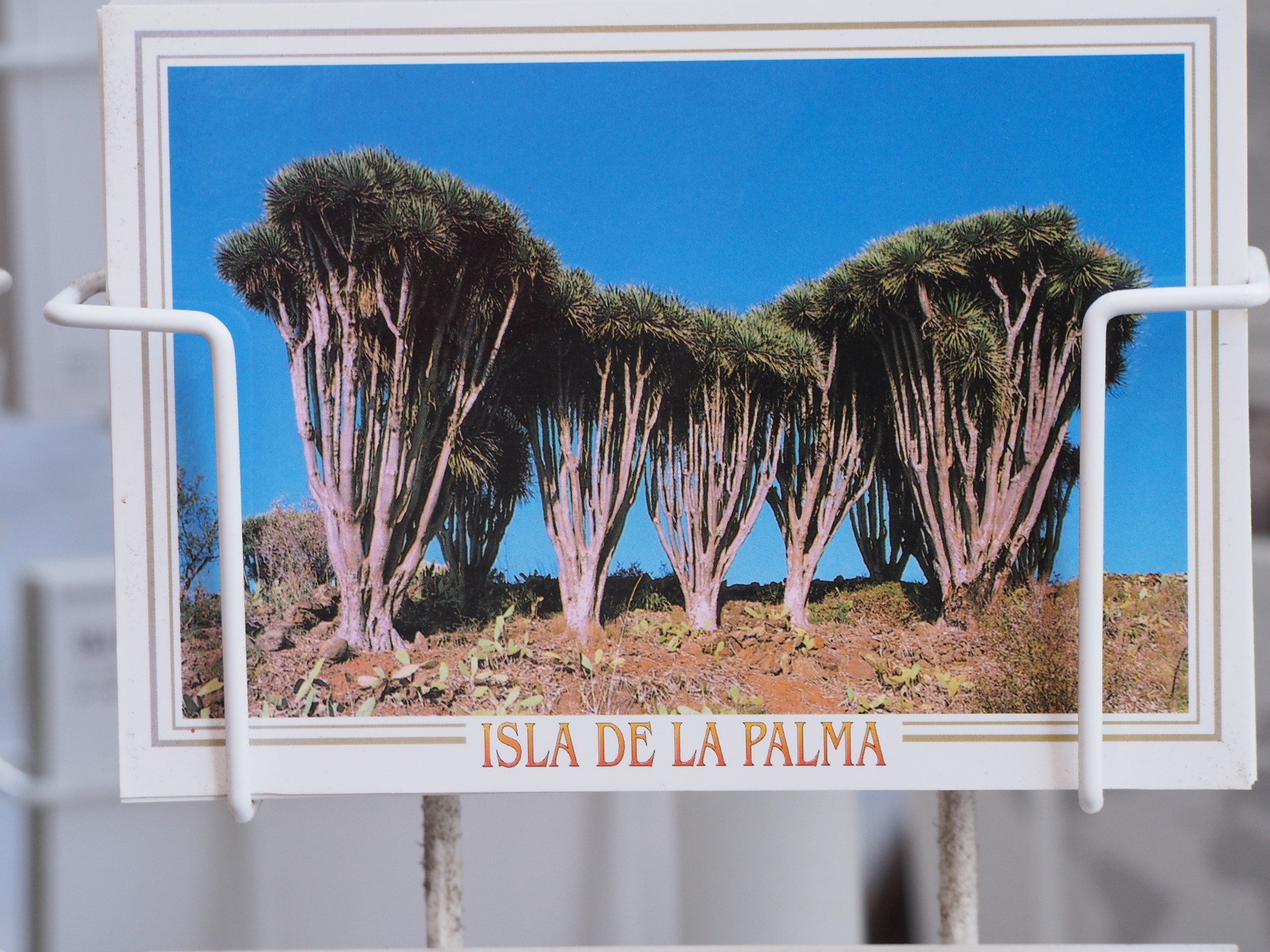
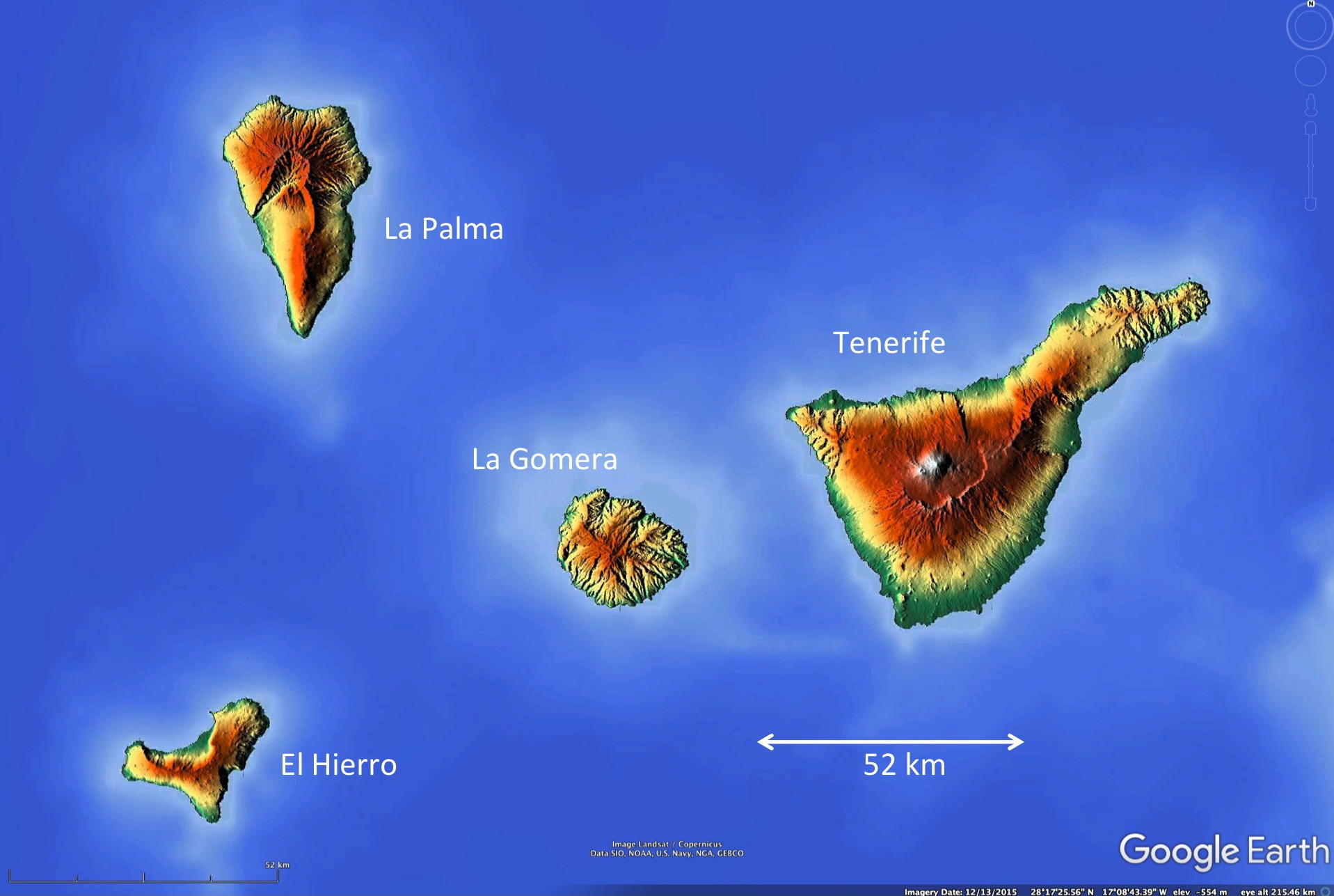
Although all of the Canary Islands show evidence of vulcanism, most obviously in the form of volcanic cones of various sizes, some islands show more evidence than others. Lanzarote perhaps shows the most obvious evidence of low volcanic cones in Tifayana National Park. El Tiede is even more obvious on Tenerife as a large volcano and more obvious lava flows. The least evidence of cones and craters is seen on Gran Canaria (only a half dozen minor craters/cones) and on La Gomera (virtually none). The islands of La Palma and El Hierro have areas with multiple cones and flows of recent origin; the most recent eruption in the Canary Islands has been a submarine eruption just off the south coast of El Hierro in late 2011.
Cultural aspects
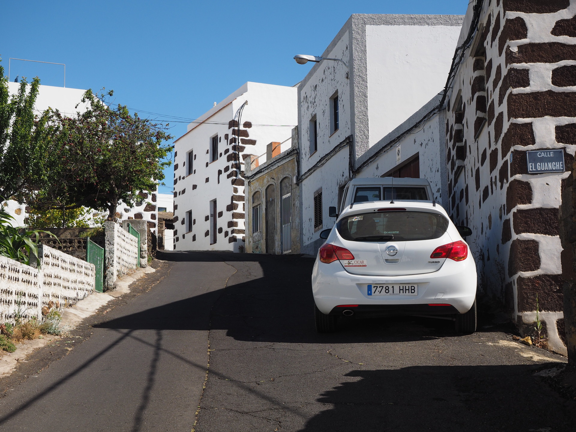
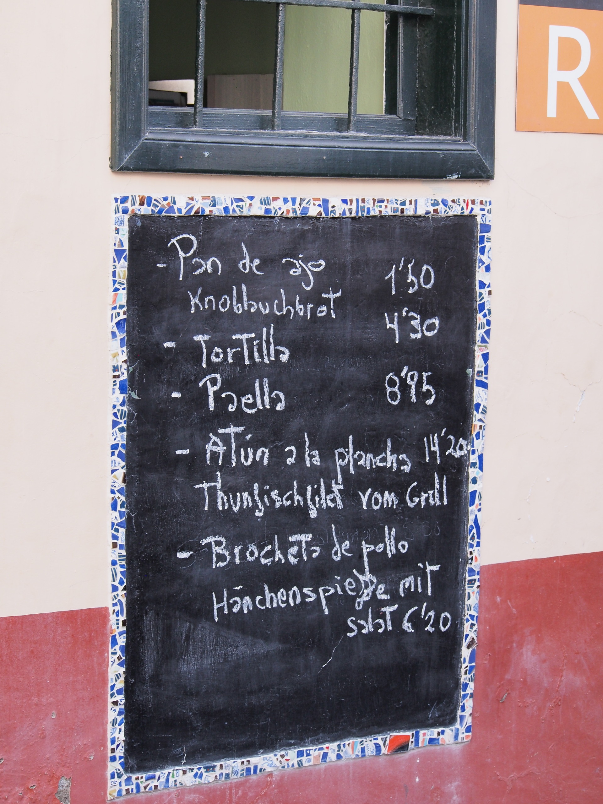
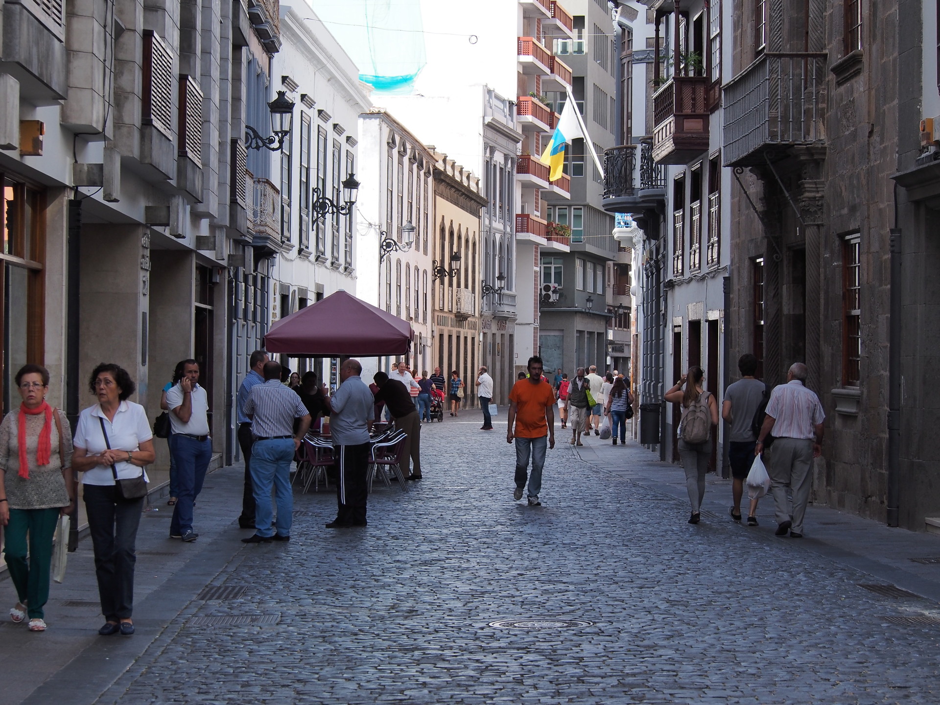
The Canary Islands are part of Spain, so Spanish is the main language. However, given the very large number of English, German and other foreigners that take vacations in the islands a majority of the tourism sector speaks English.