Although the Cape region is usually lumped together for geographical convenience, it is somewhat like saying “Southern California”. It has a geographical meaning, but when referring to specific vegetation it isn’t very useful. The mountains in the Cape region rise to almost 7,000 ft and have Pinyon Pine forests and other trees at their tops. At sea level there is Central Gulf desert flora and along the shores of some bays there are mangrove swamps.
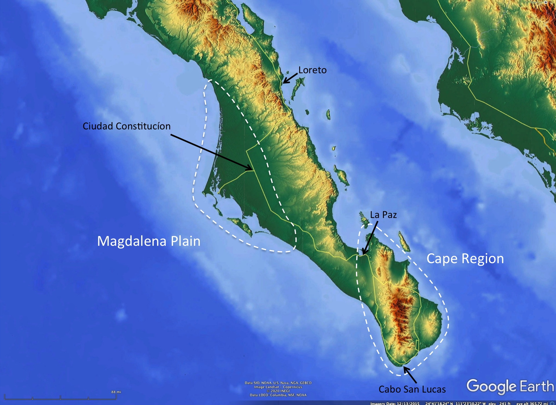
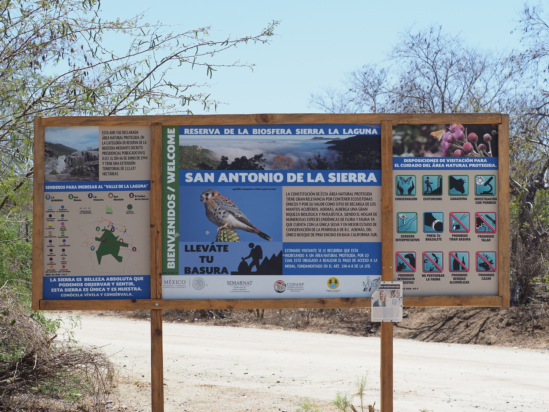
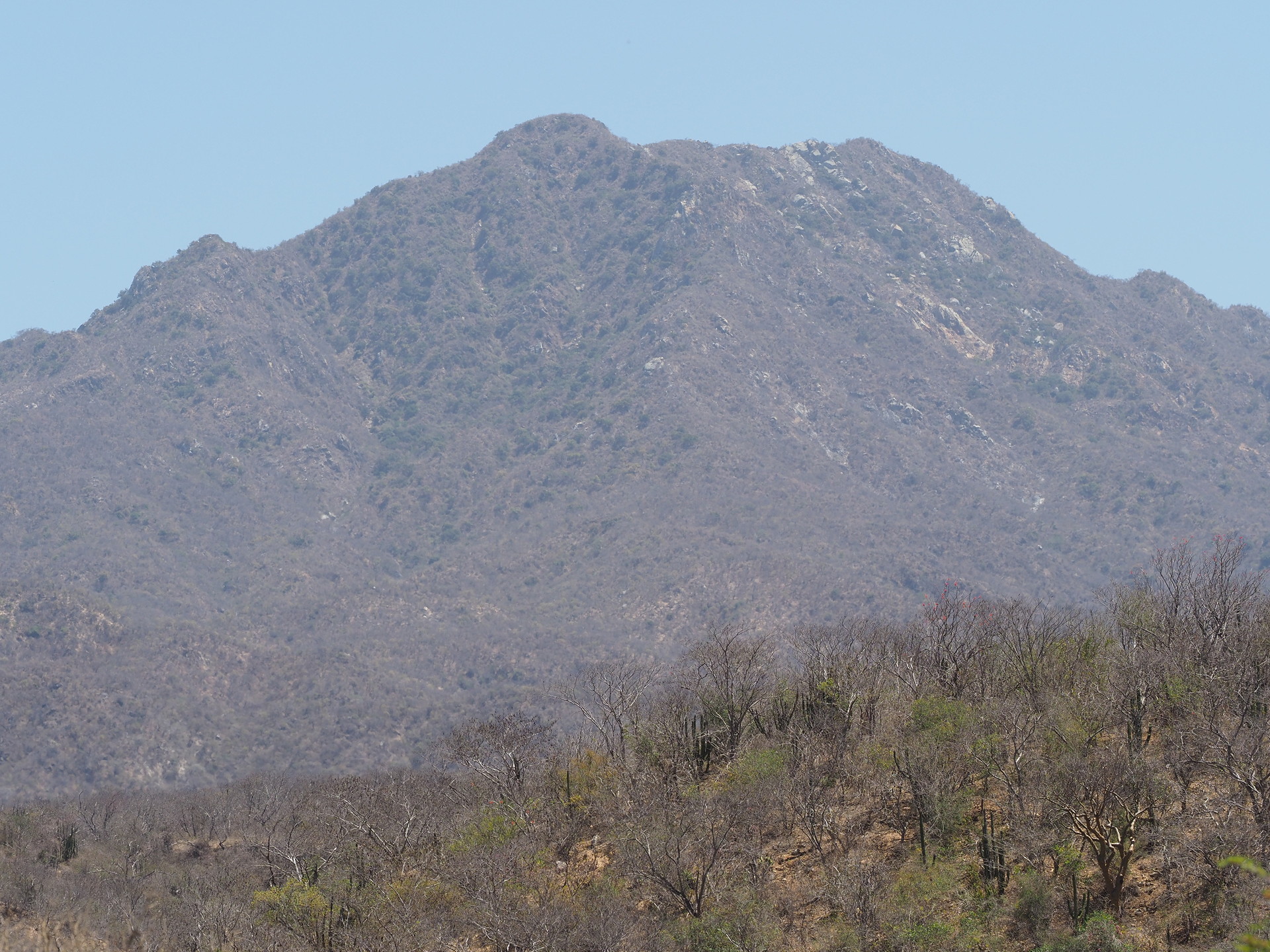
Unfortunately for the naturalist traveler (but perhaps good for conservation), there are no roads that lead to the higher parts of the Cape. The paved road along the eastern side of the Cape reaches about 1900 ft – sufficient to experience tropical dry forest environments. A rough dirt road from the small community of San Bartolo to a microwave station leads to about 2400 ft. But the higher parts are only accessed by trails. The Sierra de la Laguna National Park protects the higher parts of the Cape region – though protection is more on paper and due to a lack of access, since there are no visitor’s centers or park personnel in evidence anywhere. And, like in most other Mexican National Parks, cattle grazing is allowed.
While the high Cape region is of difficult access to most naturalists, the lower-elevation surroundings have many interesting aspects that nearly all tourists to Los Cabos don’t appreciate. Some of these are summarized in the following paragraphs.
Mangroves
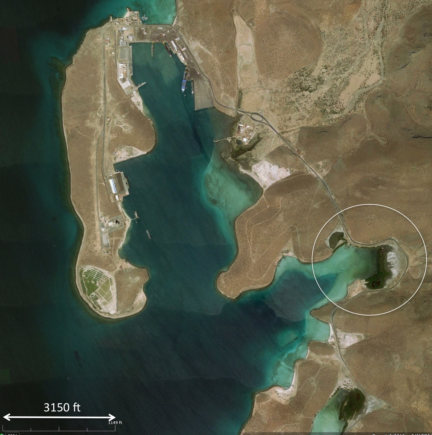
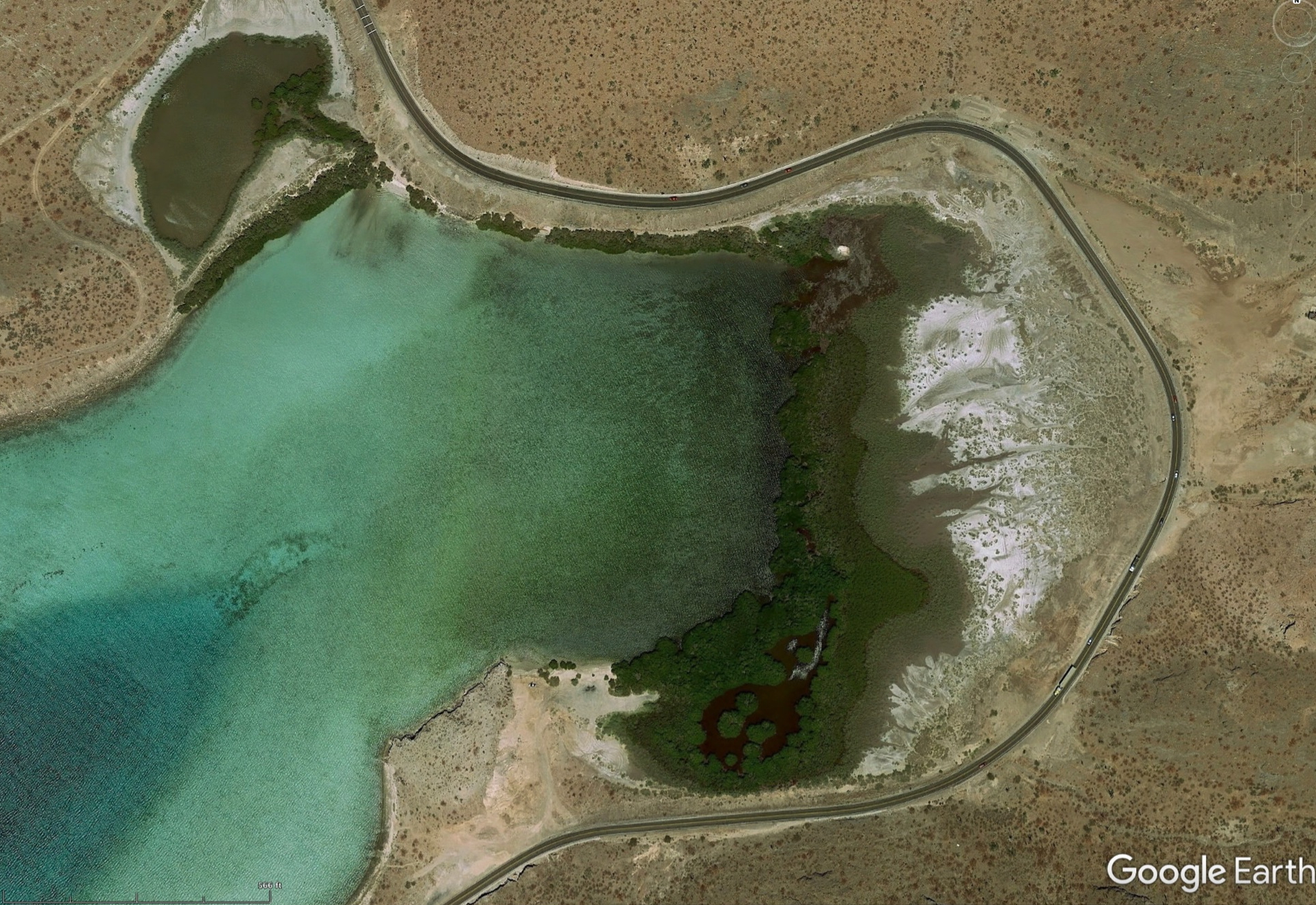
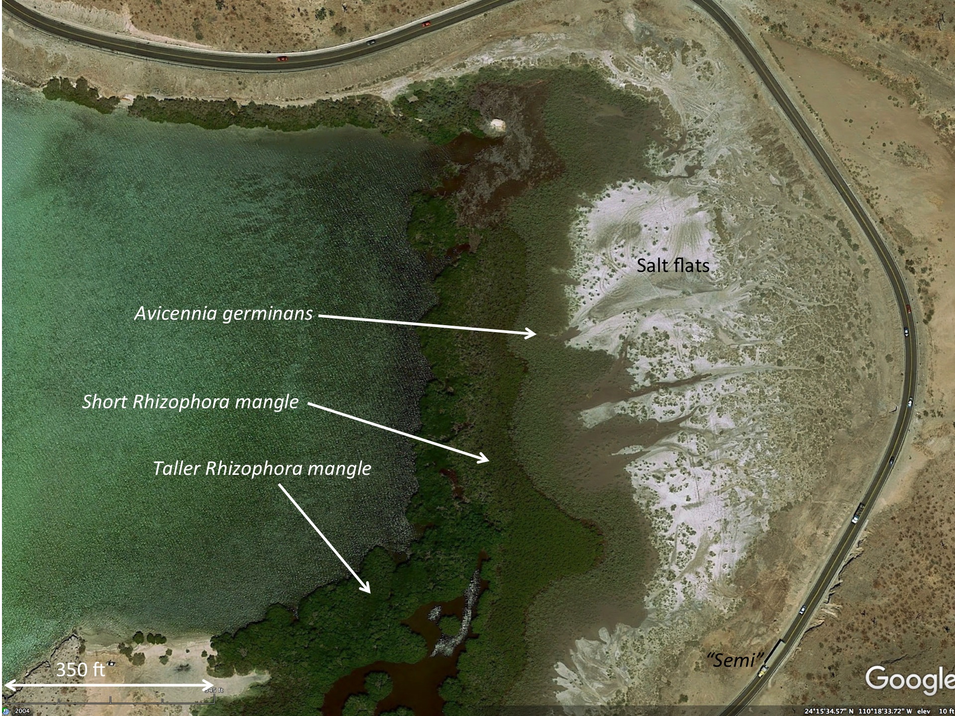
Mangroves are salt-tolerant trees that grow along tropical shorelines. Although mangroves are found along both sides of the Baja California peninsula (farther north in the Gulf than on the Pacific) they are readily accessible near La Paz. By driving northwards from La Paz on the road towards the Ferry Terminal one passes a handful of relatively accessible mangrove “swamps”. These have distinctive structures that are dependent on the tidal range, wave action, and rainfall of the site. Because of the lack of rain and runoff from rivers and the resultant lack of nutrients, the mangroves do not grow tall like in parts of Florida and the wet tropics. And, like all mangroves, they are restricted to bays where the wave action is a minimum and sediments accumulate. However, within the mangrove swamp there is strong zonation of the mangrove species that is dependent on the wave action and salinity of the soil. Areas of the bay that are only flooded during the highest tides are salt encrusted and devoid of mangroves. Mangroves most capable of tolerating wave action and minimum soil salinity are the Red Mangroves (Rhizophora mangle) and these are considered the stereotypical mangroves by people who are familiar with mangroves (many people aren’t).
Relatively few mangrove species are found in the Americas (a half dozen or so), compared with many more in the eastern Tropics. Only three are found in Baja California and these grow smaller, due to poorer nutrients, than those in other parts of the Americas.
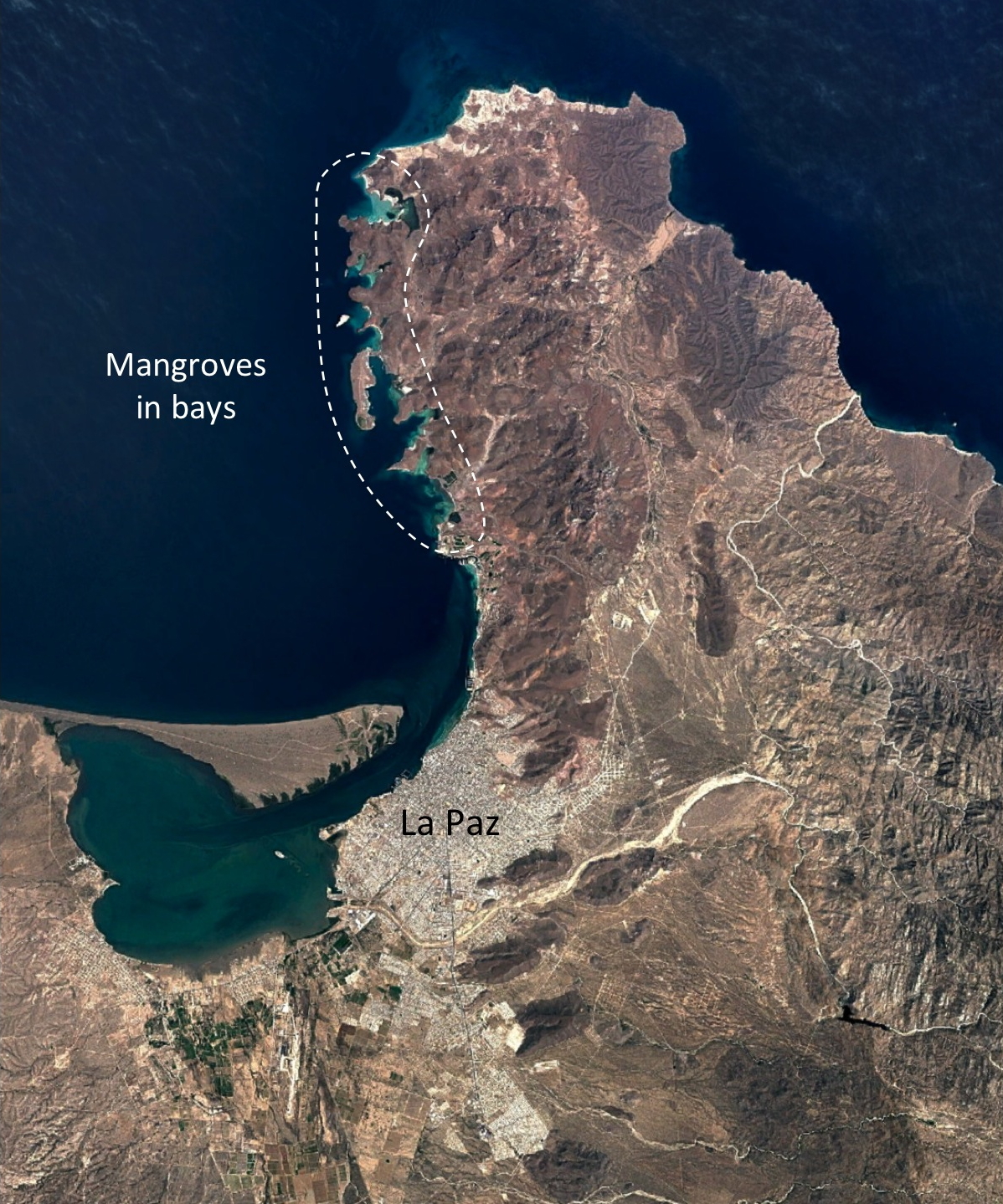
We would encourage the traveler to La Paz to explore the mangroves from their landward side. It is difficult to access many mangroves, both due to the water and mud, but inspection of the mangroves is interesting and worthwhile for their specialized adaptations. (Read the Wikipedia link to understand more of these).
Mangroves are found farther north along the Gulf of California, and those around Bahia Concepcion are also accessible to easy exploration. Sometimes the water clarity and access allows for snorkeling to see the underwater aspects of the Rhizophora root-ecosystem.
Tropical dry/deciduous forest
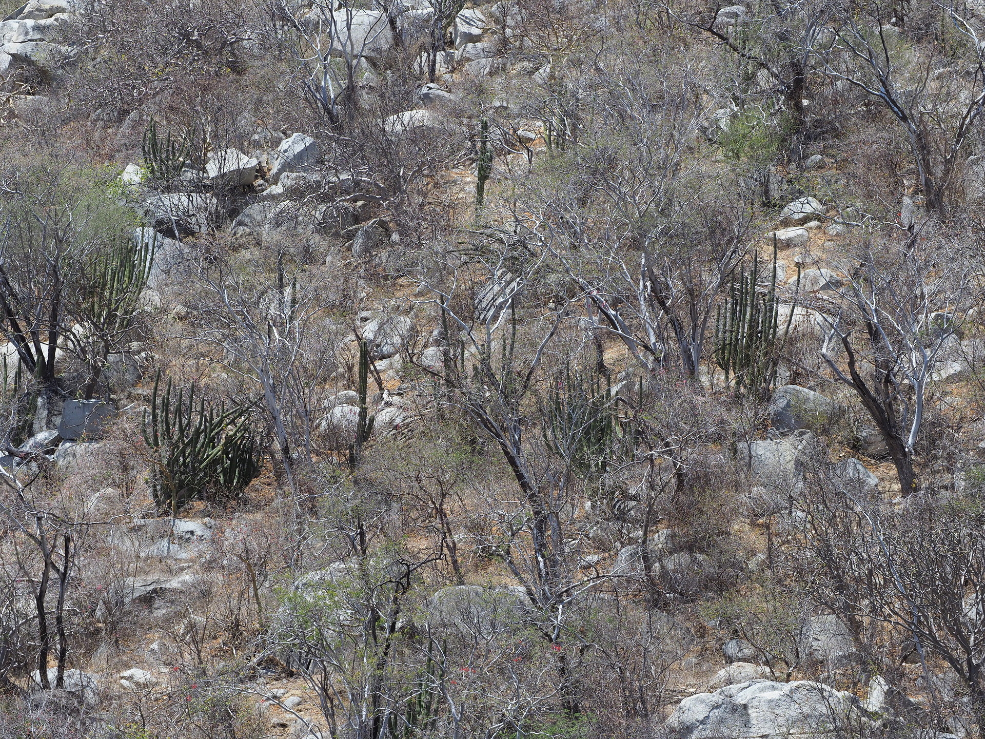
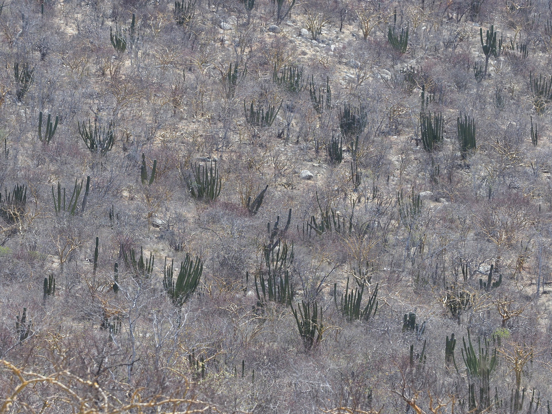
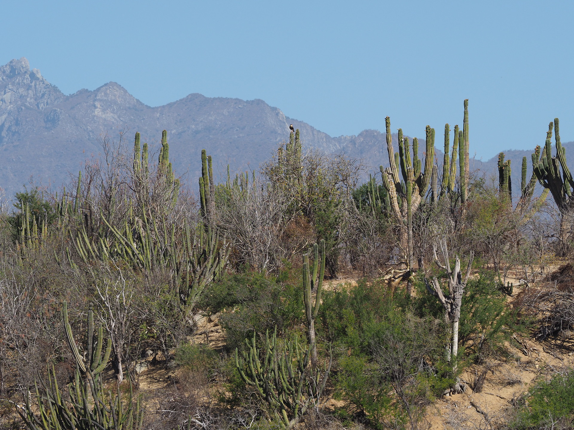
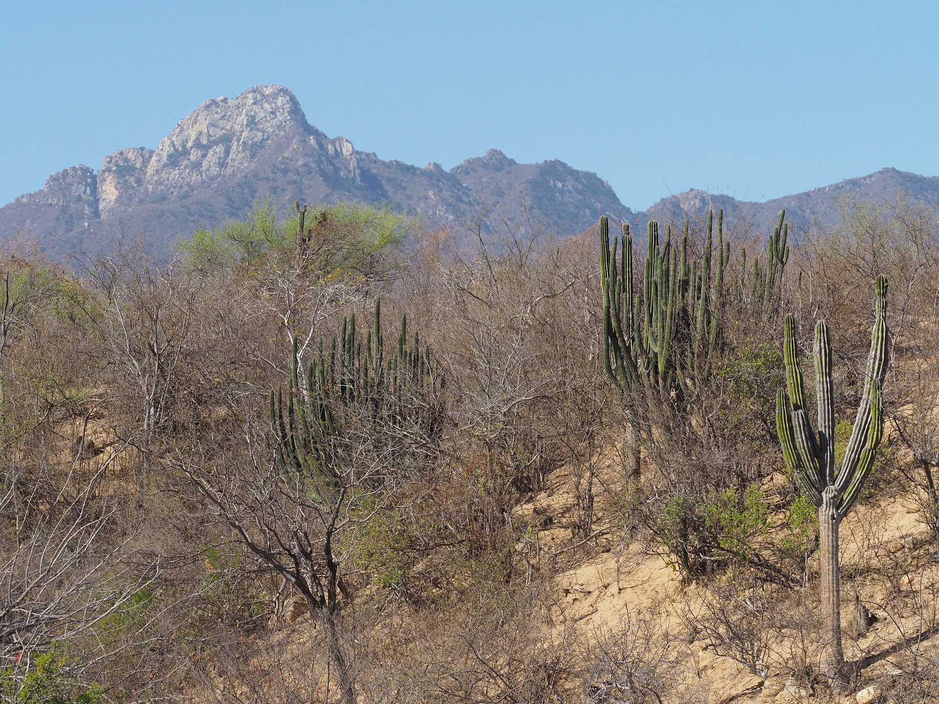
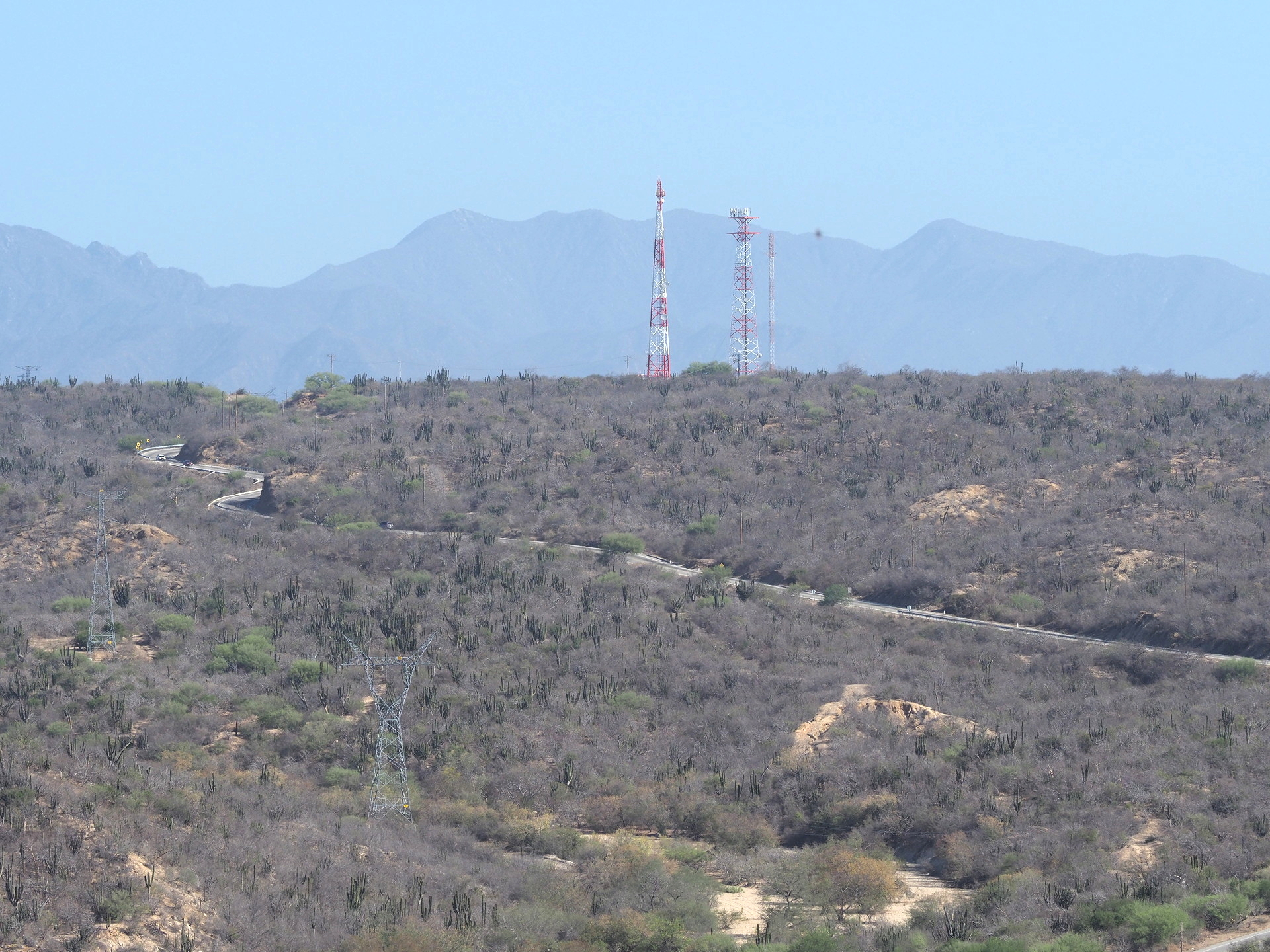
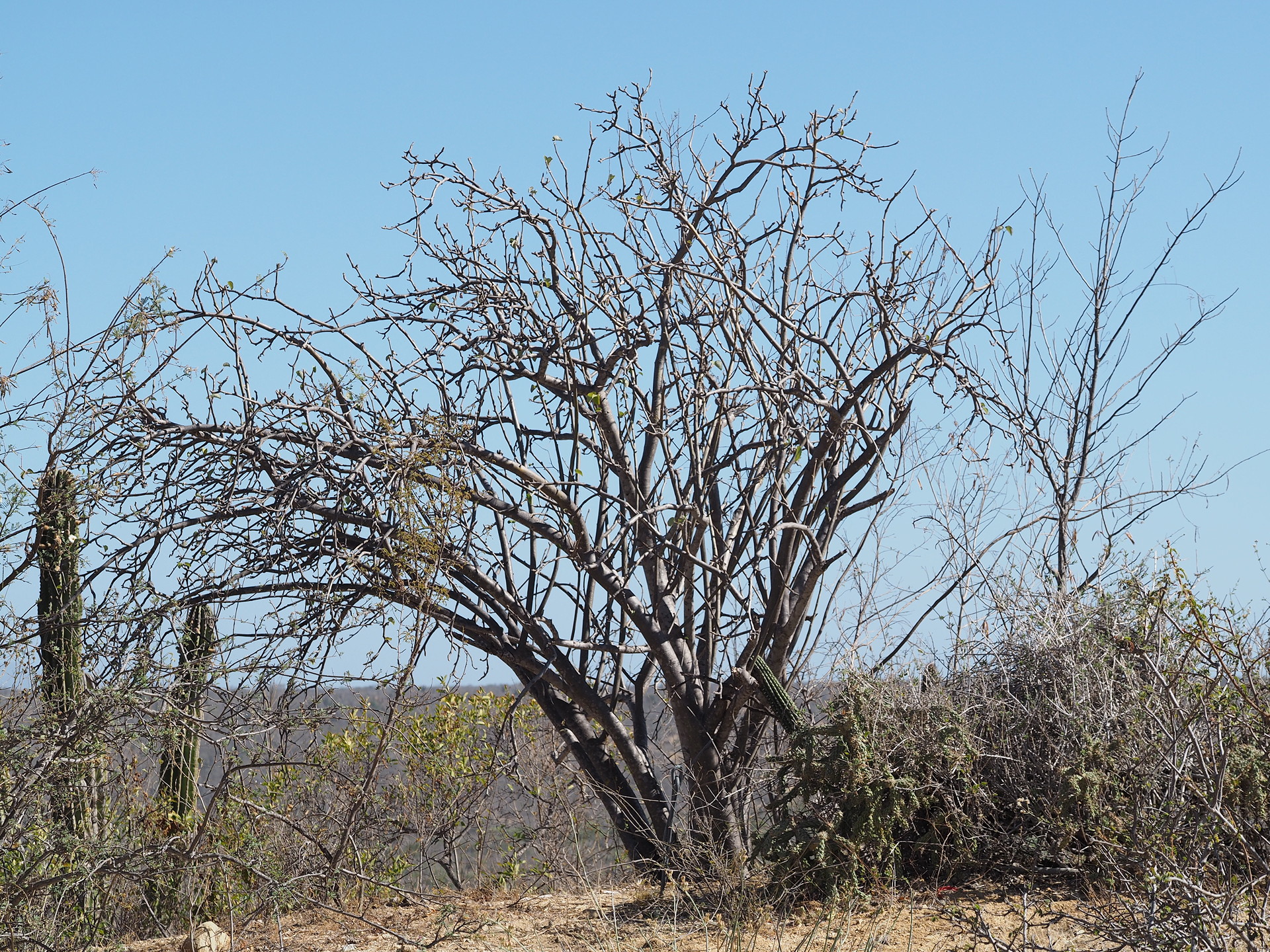
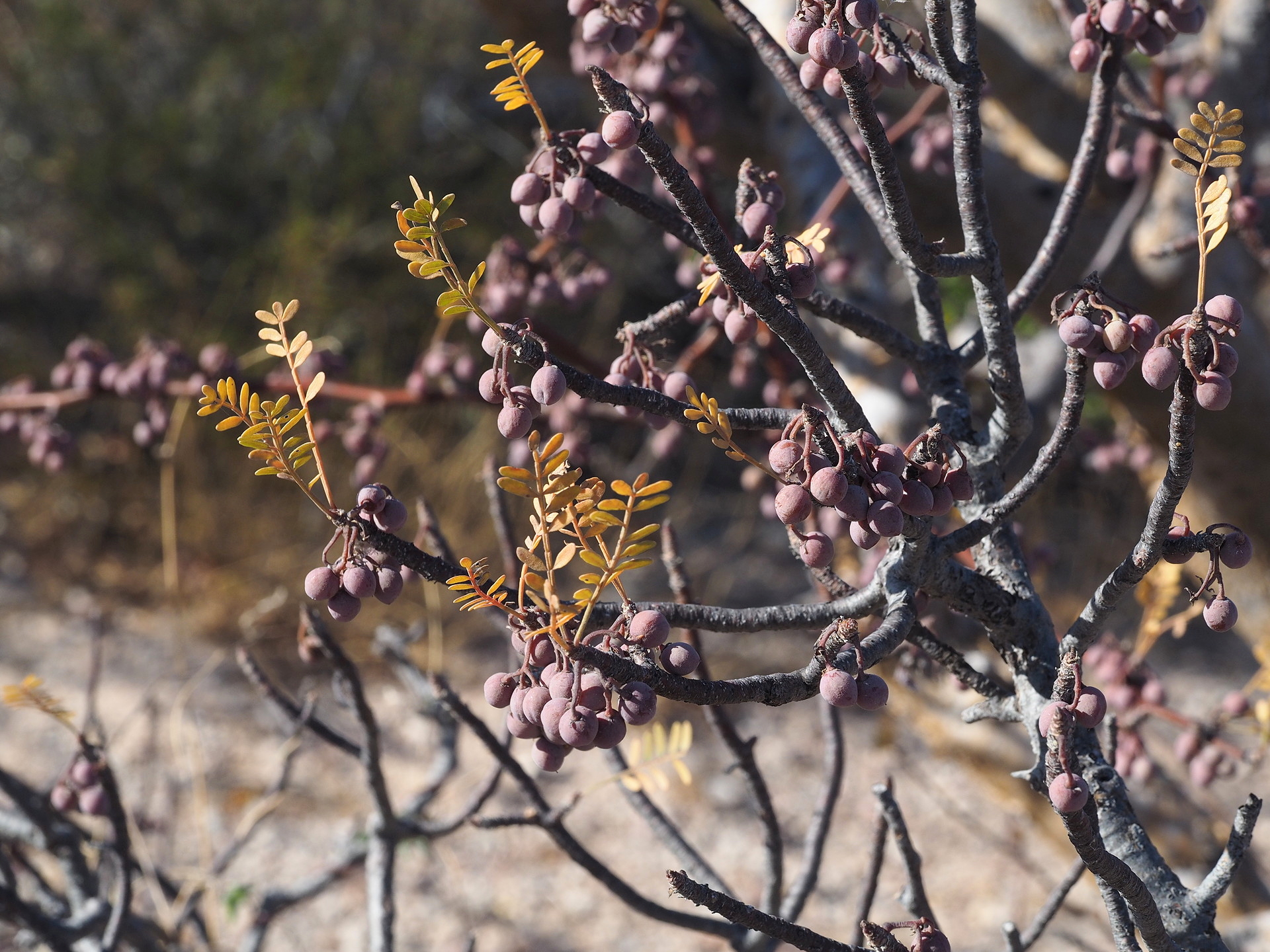
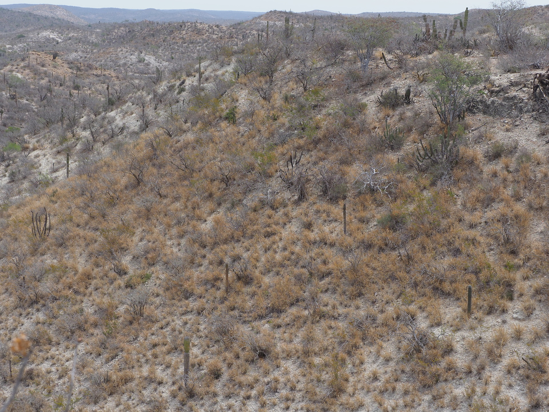
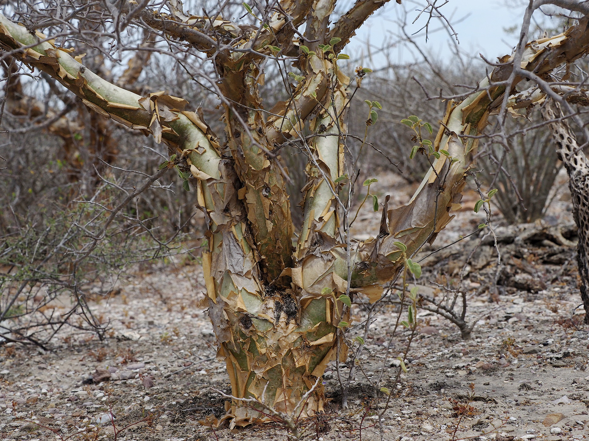
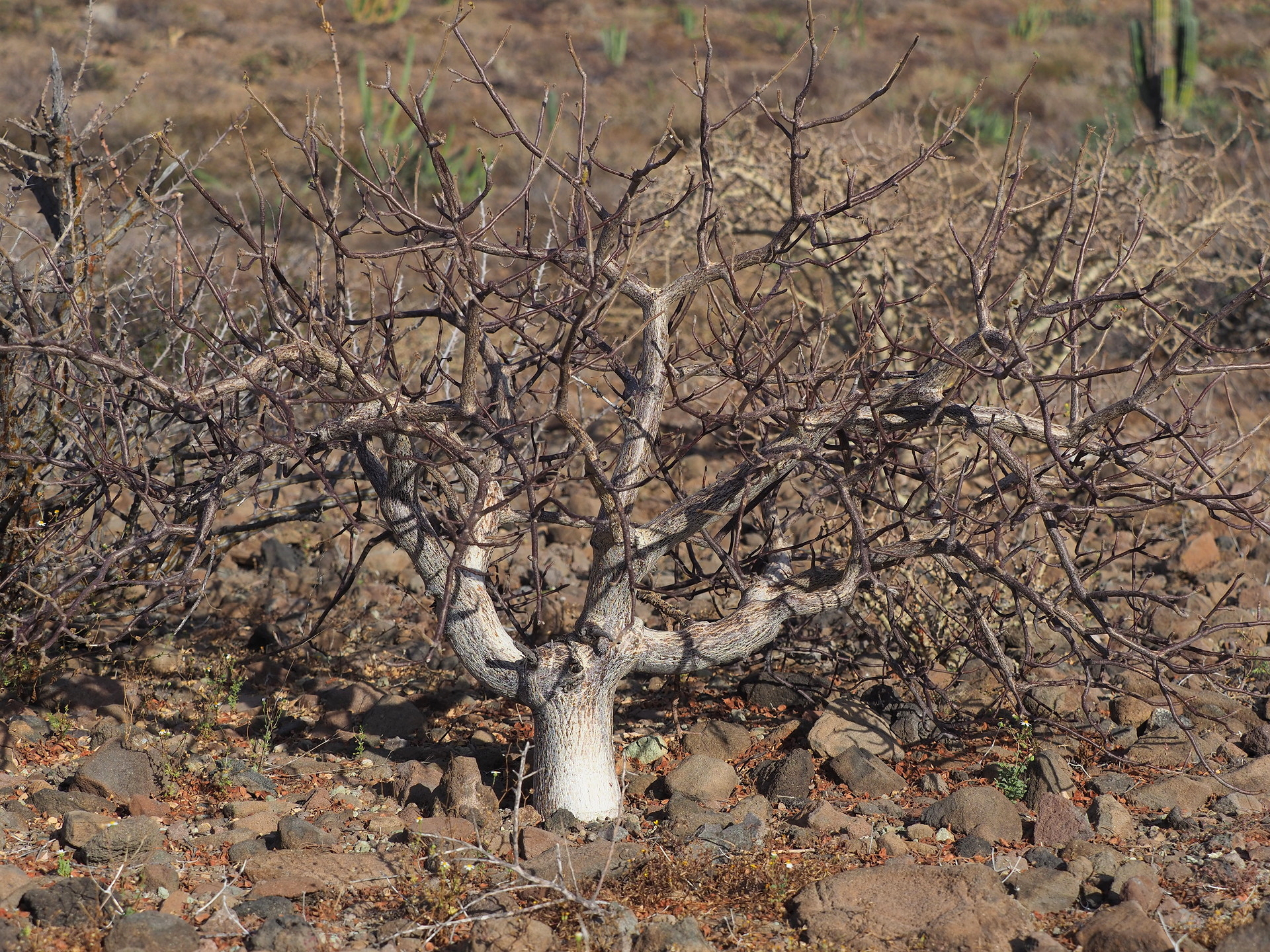
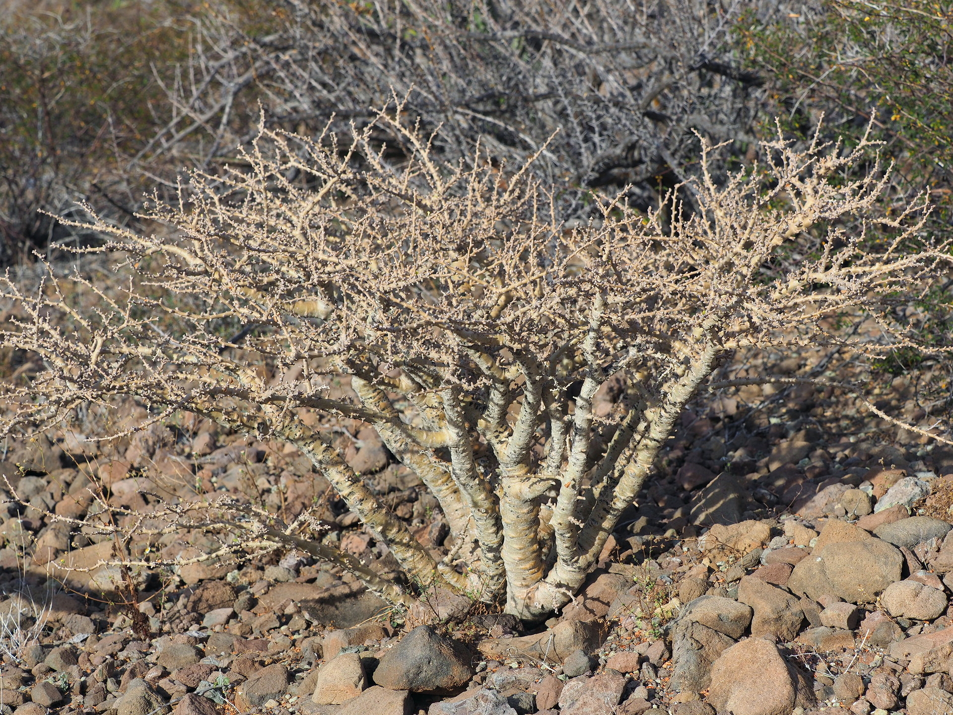
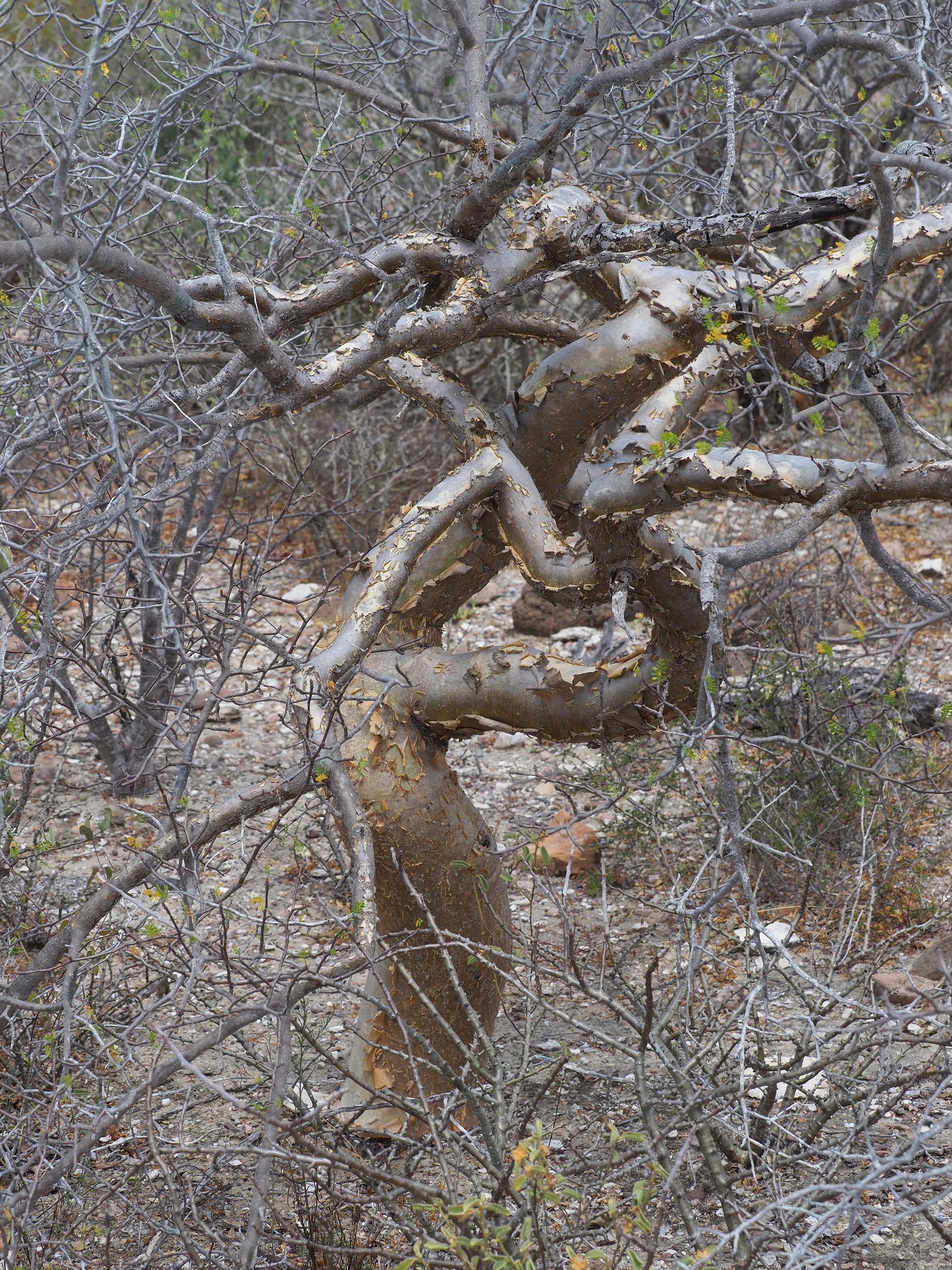
The Cape region receives noticeably more summer rain than the peninsula farther north and so there is a greater percentage of short trees in the flora. This is evident driving north from Los Cabos towards La Paz via the highway on the eastern side of the Cape. Near the hamlets of El Triunfo and San Bartolo the trees are more apparent. Unfortunately, when most people travel to the Cape it is winter, and most trees are leafless. After summer rains (roughly July-Oct) the forest becomes dramatically more verdant.
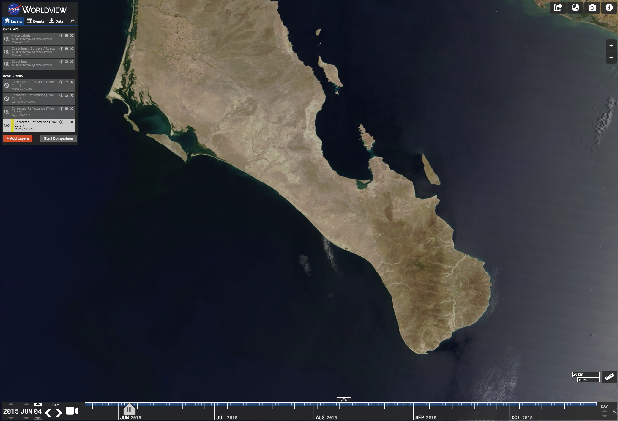
The tropical deciduous forest of the Cape region is similar in some aspects to that found in southern Sonora and in Sinaloa of the Mexican mainland. However, it is poorer in birds, mammals and reptiles and amphibians due to the Cape’s isolation by water from other tropical environments. The interior of the Cape region has more summer rainfall than areas along the coast due to the inland formation of showers associated with the afternoon upslope and convergence of sea breezes from both coasts. A “typical” afternoon cloudiness image is shown below. Coastal sites like Los Cabos, Todos Santos and La Paz are quite dry compared with sites inland. Increased rainfall, greater afternoon cloud cover, and slightly higher elevation and thus cooler temperatures all contribute to greater stature of the vegetation compared with the coastal zone.
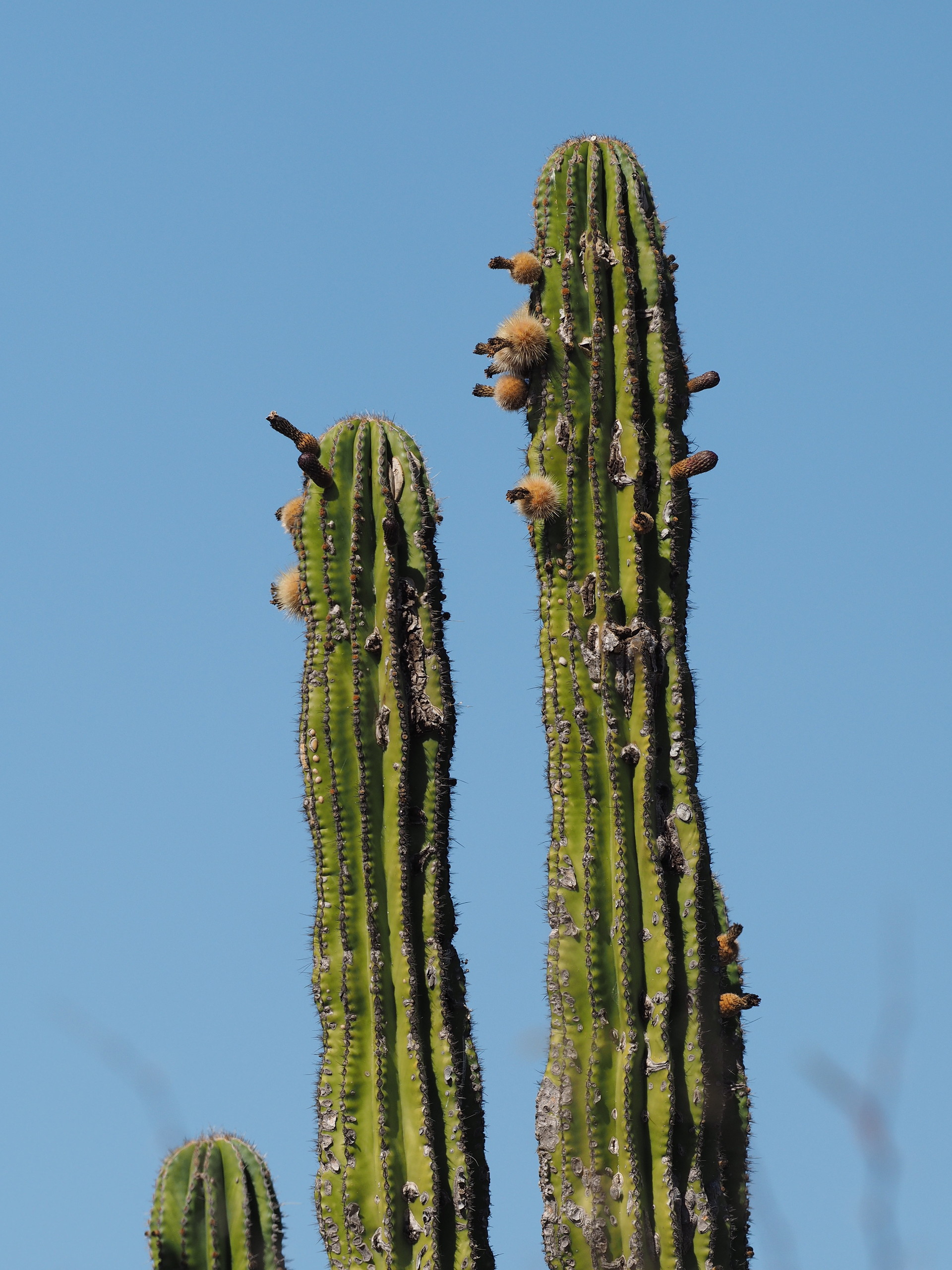
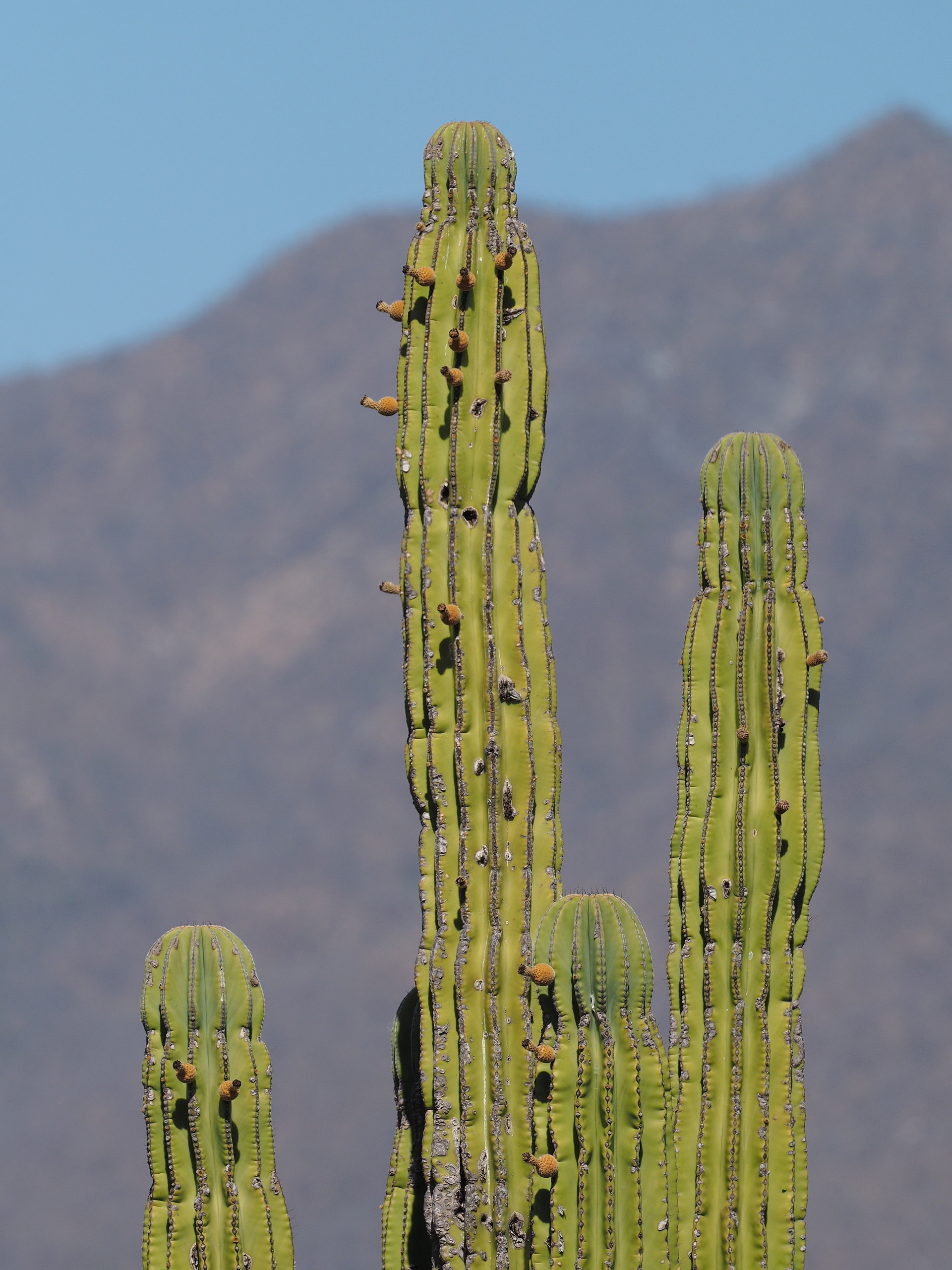
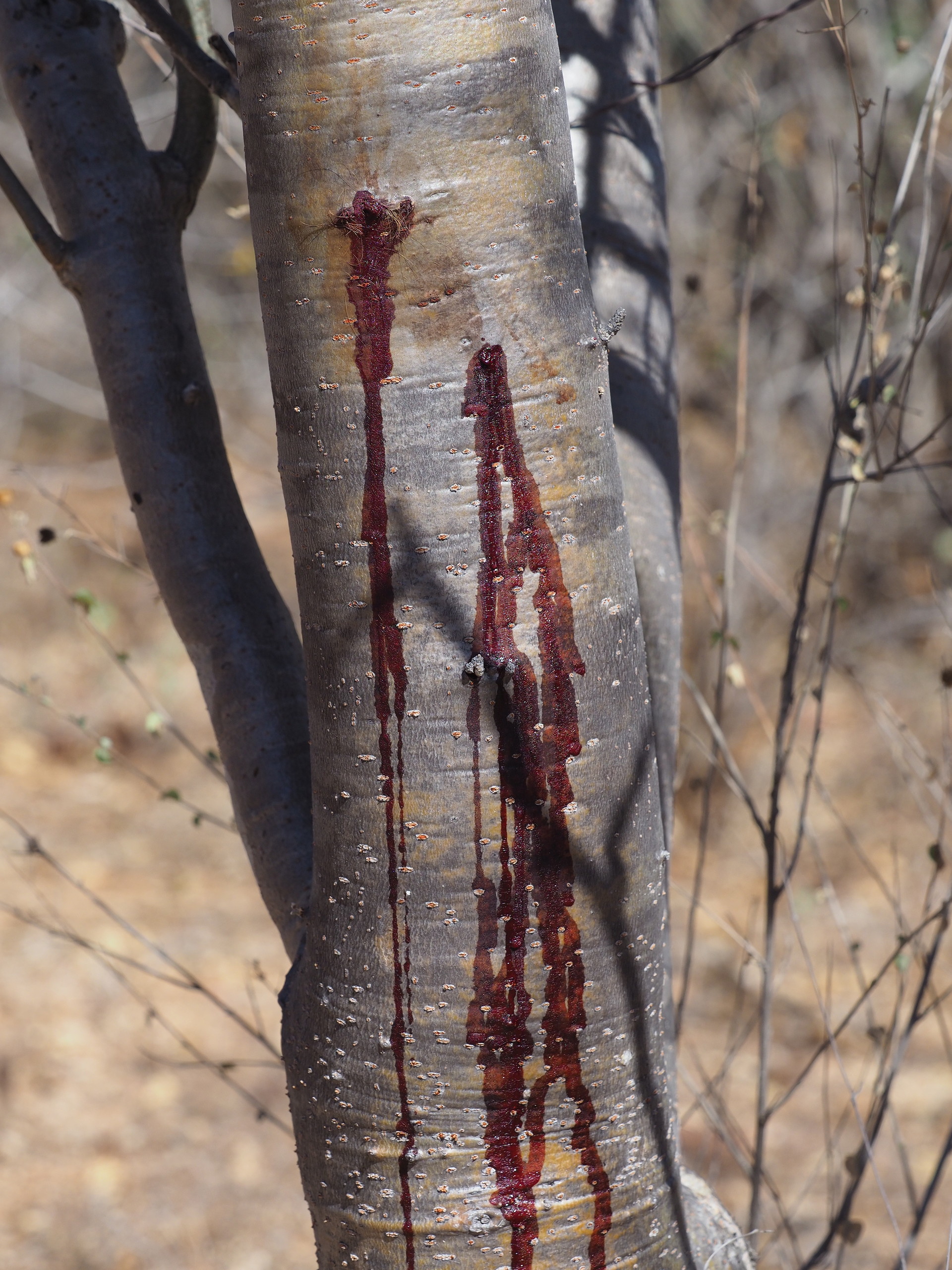
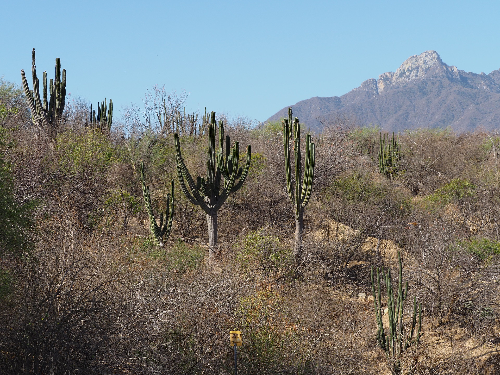
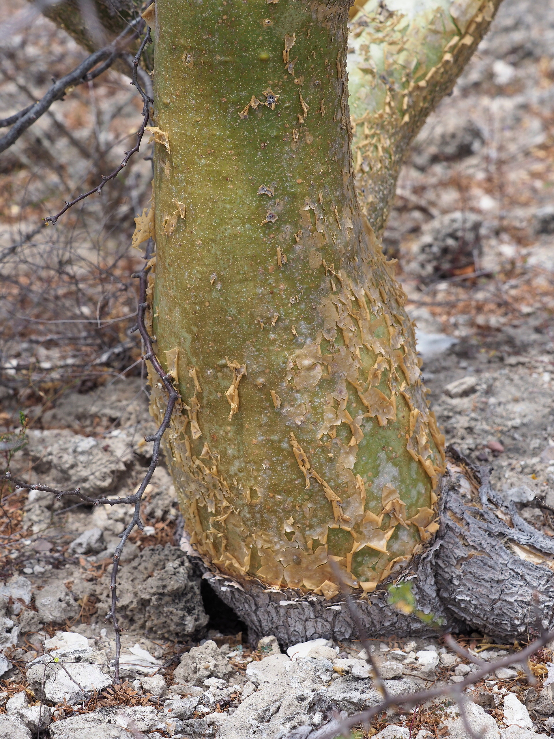
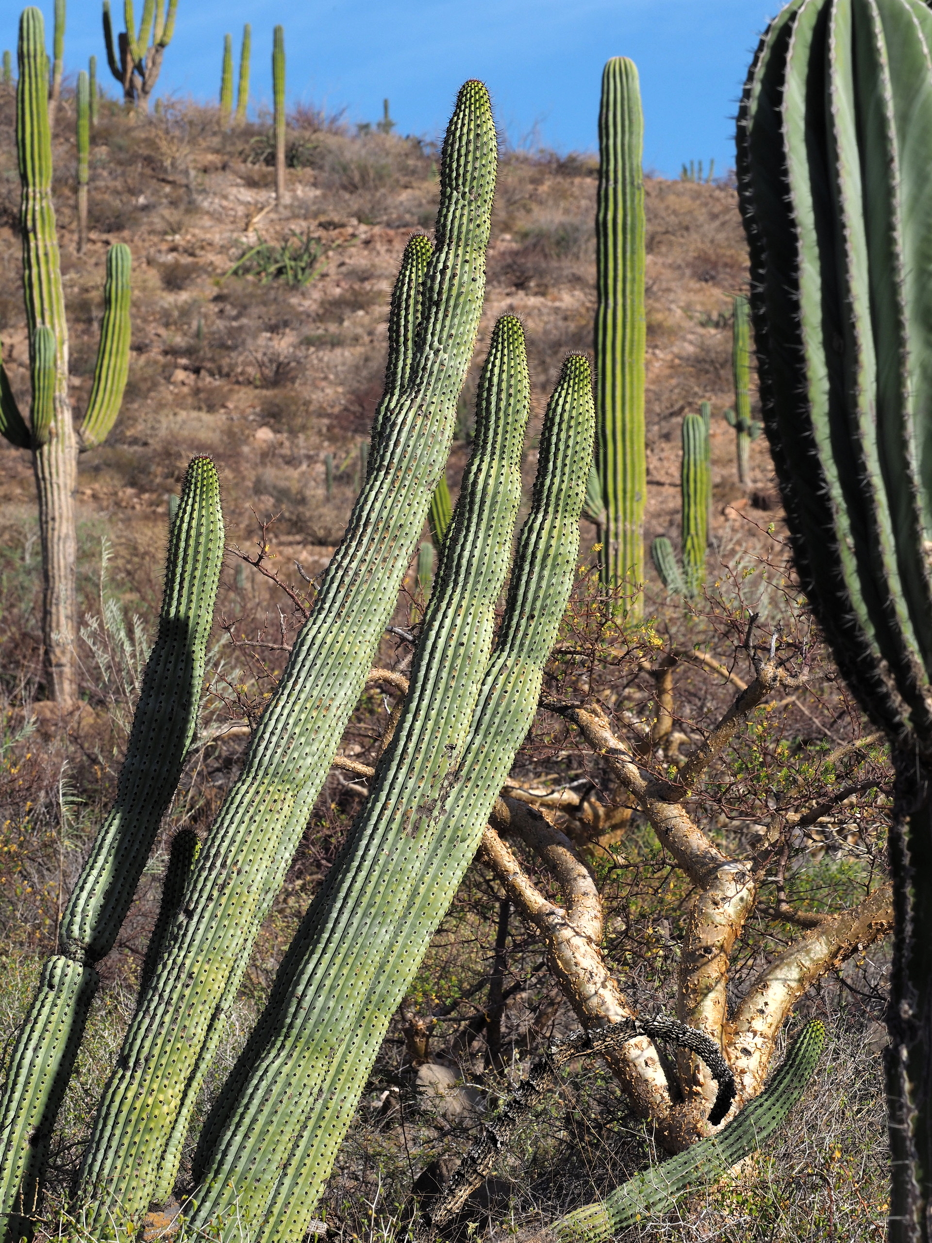
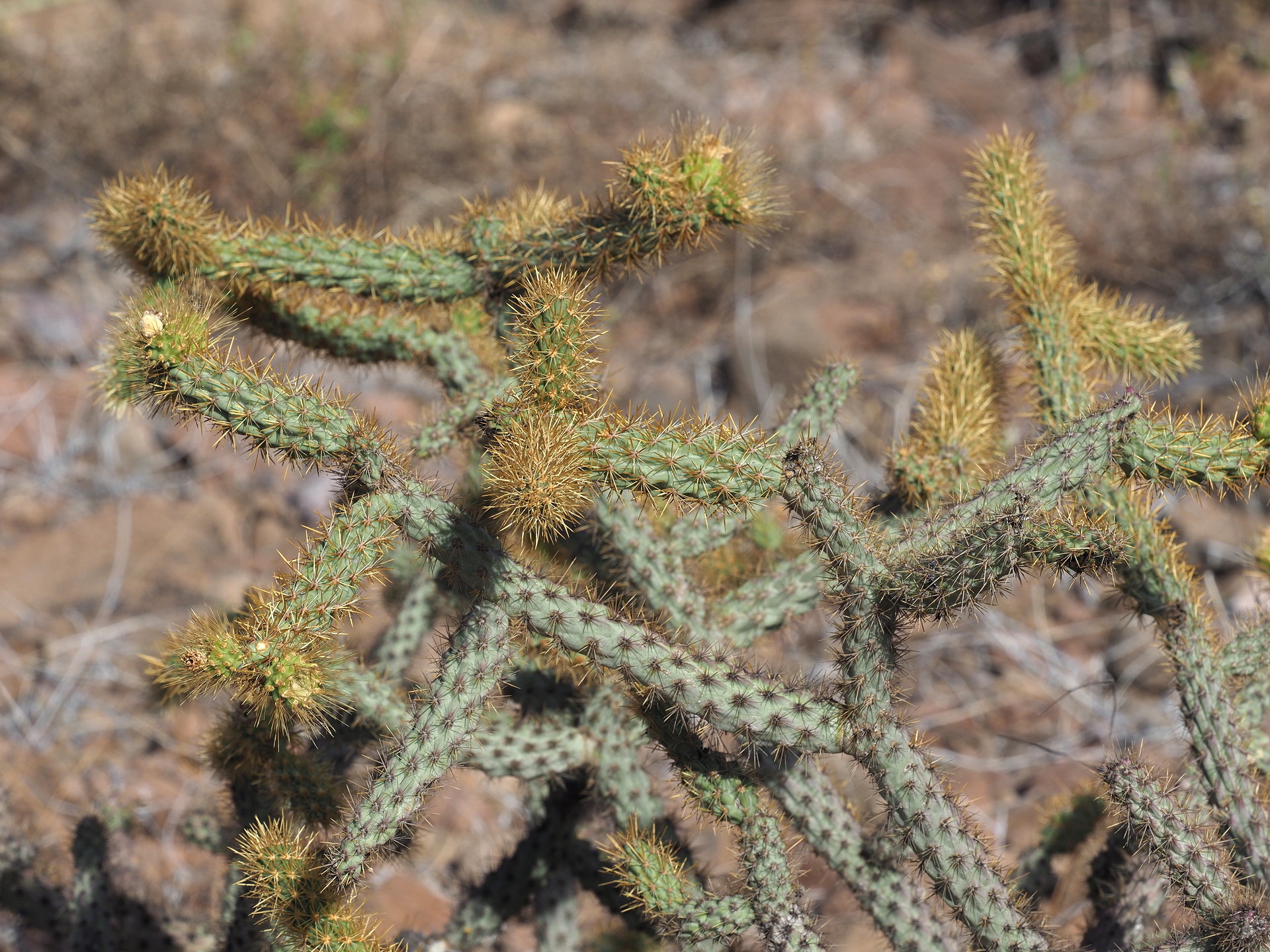
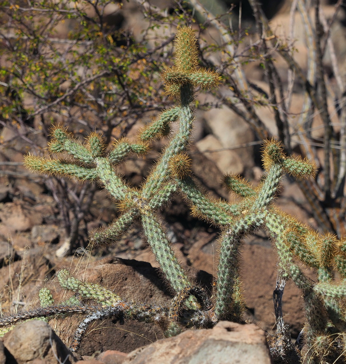
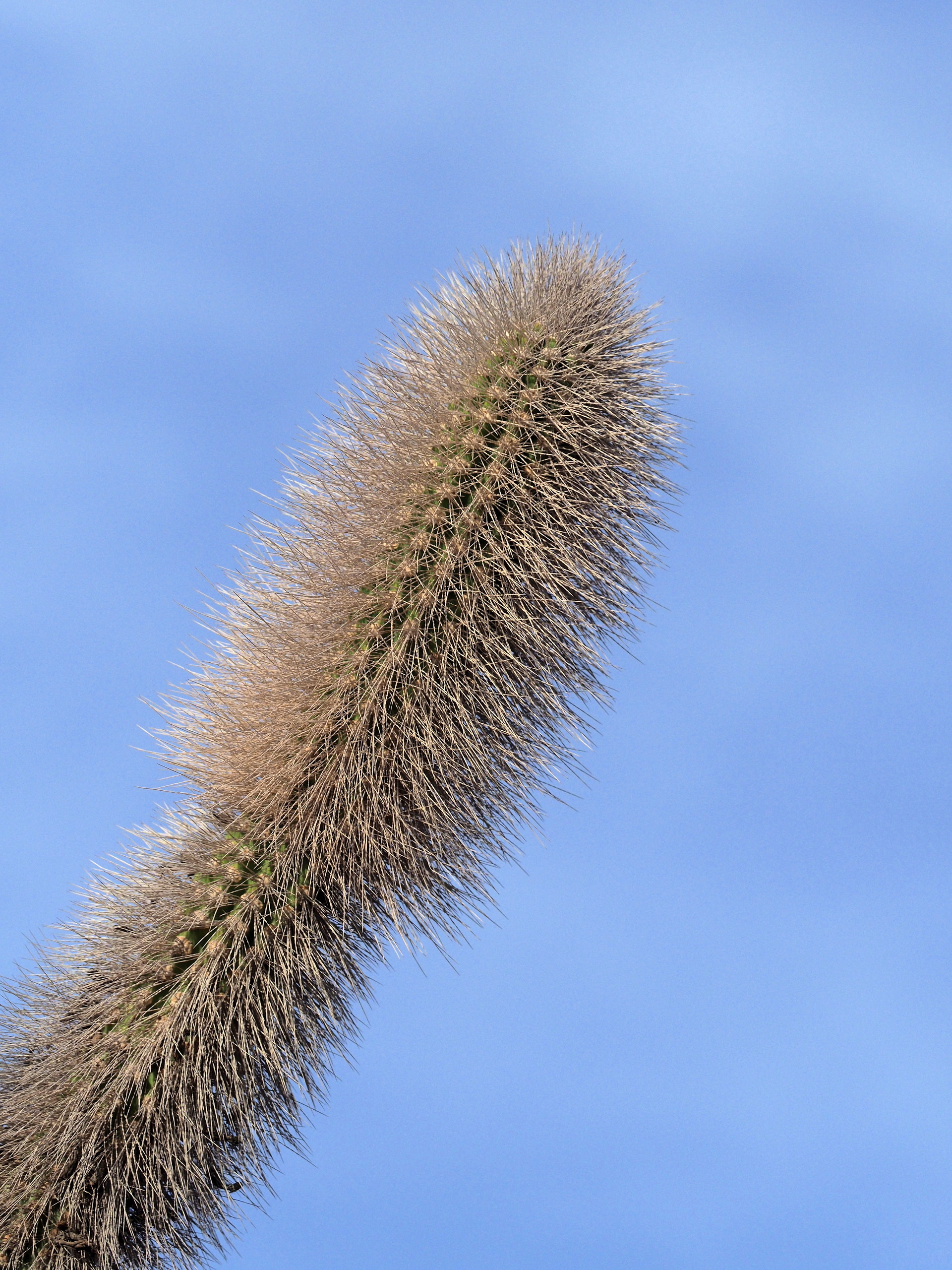
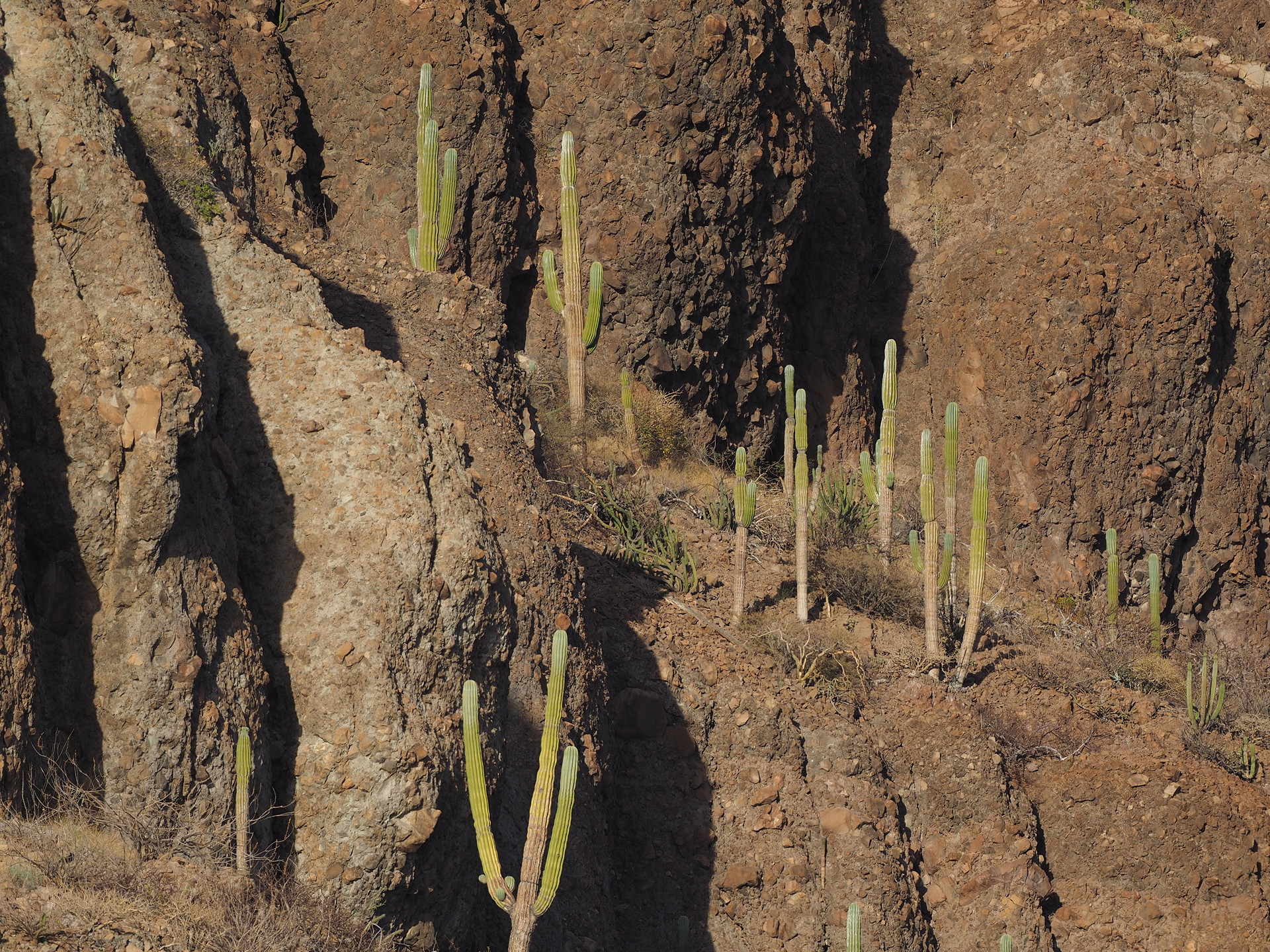
The dry forest of the Cape, which is most apparent from 1000 to perhaps 3-4000 ft, is similar in appearance to that found in southern Sonora and Sinaloa on the mainland of Mexico. There are a handful of Bursera species, Lysiloma, and taller cacti like Pachycereus pectin-arborigeum that usually extend through the short canopy.
Above 5000 ft elevation there are Pinyon Pines (Pinus lagunae), various oaks (Quercus), an endemic Madroño (Arbutus) and the tree-like Nolina bendingii. But an multi-day hike and camping effort is needed to reach and explore these areas (something we’ve not done).
Central gulf desert
The entire coastal region of the Cape is dry, but there are variations. Because the Pacific Ocean water is much cooler than the water on the Gulf of California side, the daytime temperatures on the west coast (e.g. Todos Santos) are lower than on the Gulf side. More coastal low clouds as well. These translate into presumed subtle differences in vegetation, but we don’t know the specifics of this. A keen botanist familiar with the Cape flora might be able to say something definitive.
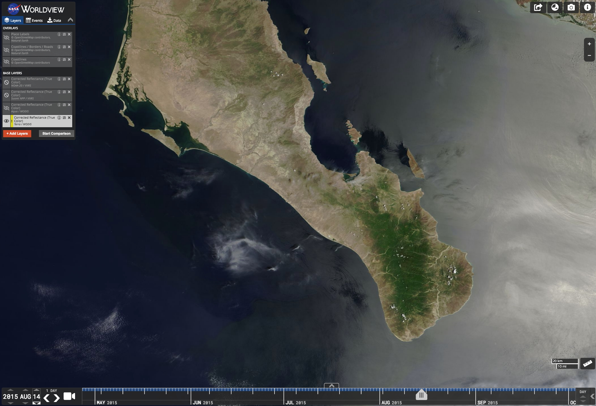
Right: August 14 2015 Terra image of the Cape Region – after the onset of summer rains. Note the dramatic green-up of the interior region of the Cape. This is associated with the leaf-out of drought deciduous trees and shrubs that were leafless until the onset of the summer rains. Note that the coastal region of the cape remains mostly dry – less rain falls here.
The driest part of the Cape region is north of La Paz, in the vicinity of the Pichilingue ferry terminal. This is much like other parts of the Central Gulf desert, and far enough away from the Cape mountains to not experience the rainfall that they enhance during the summer.
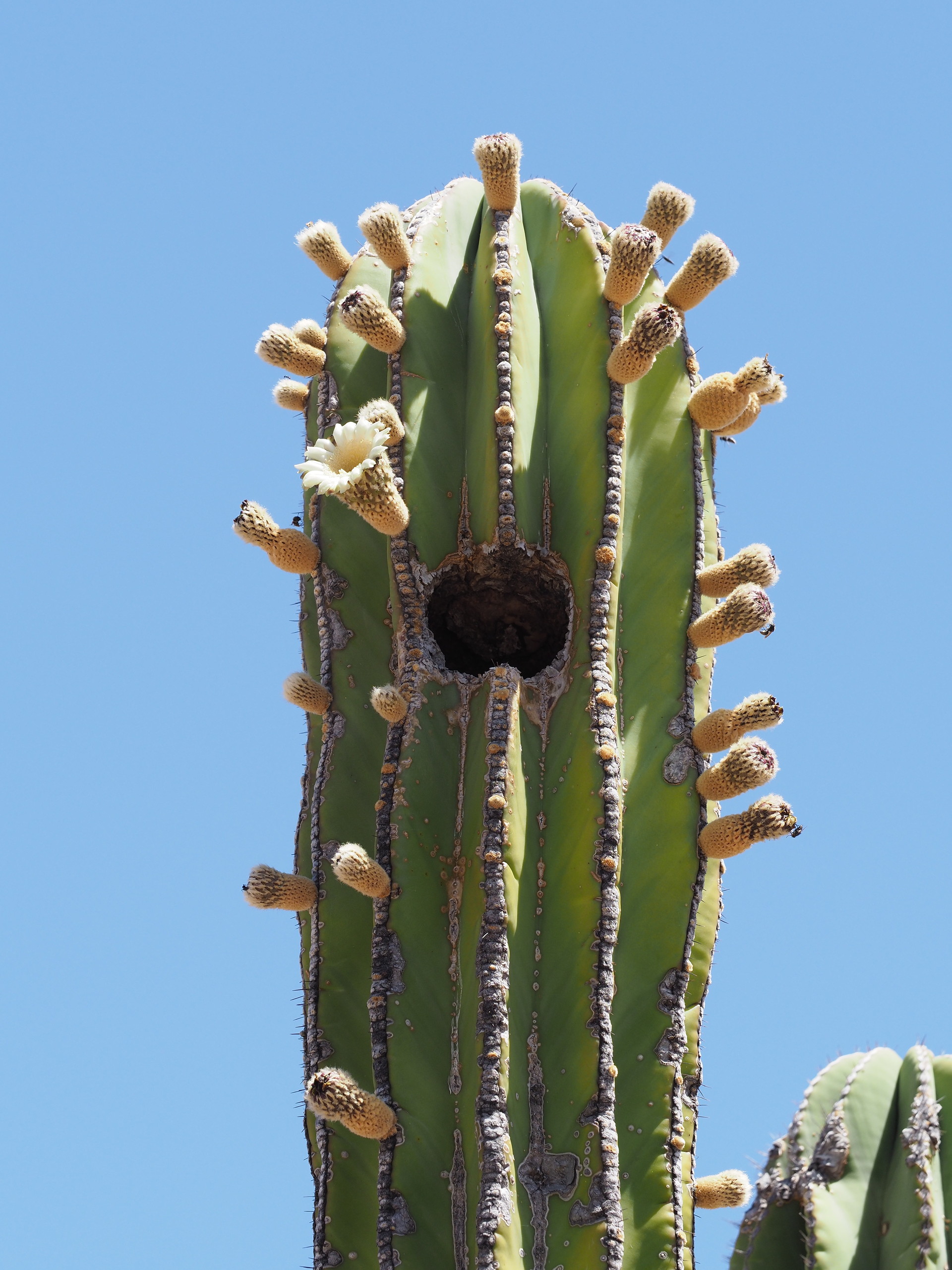
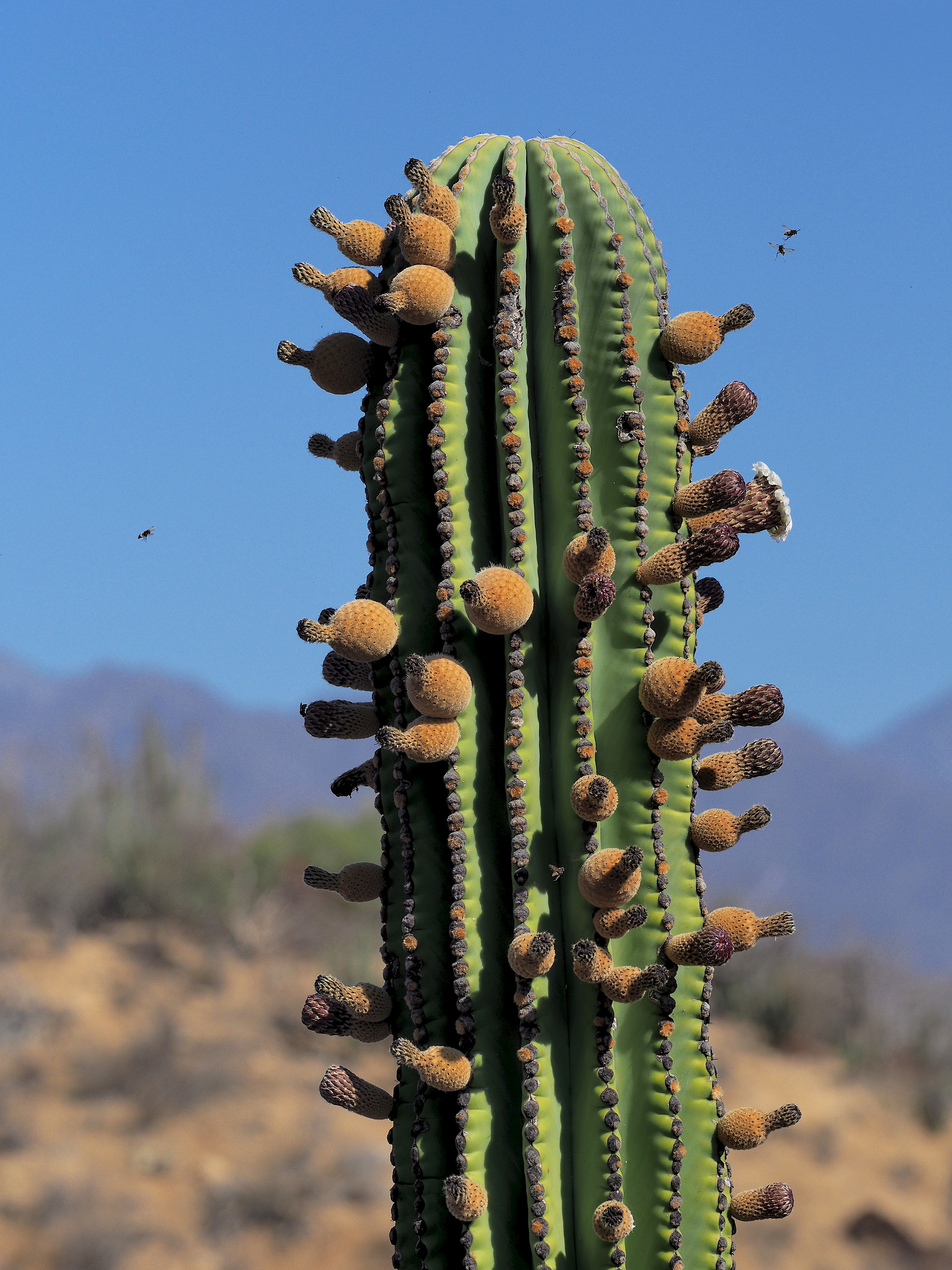
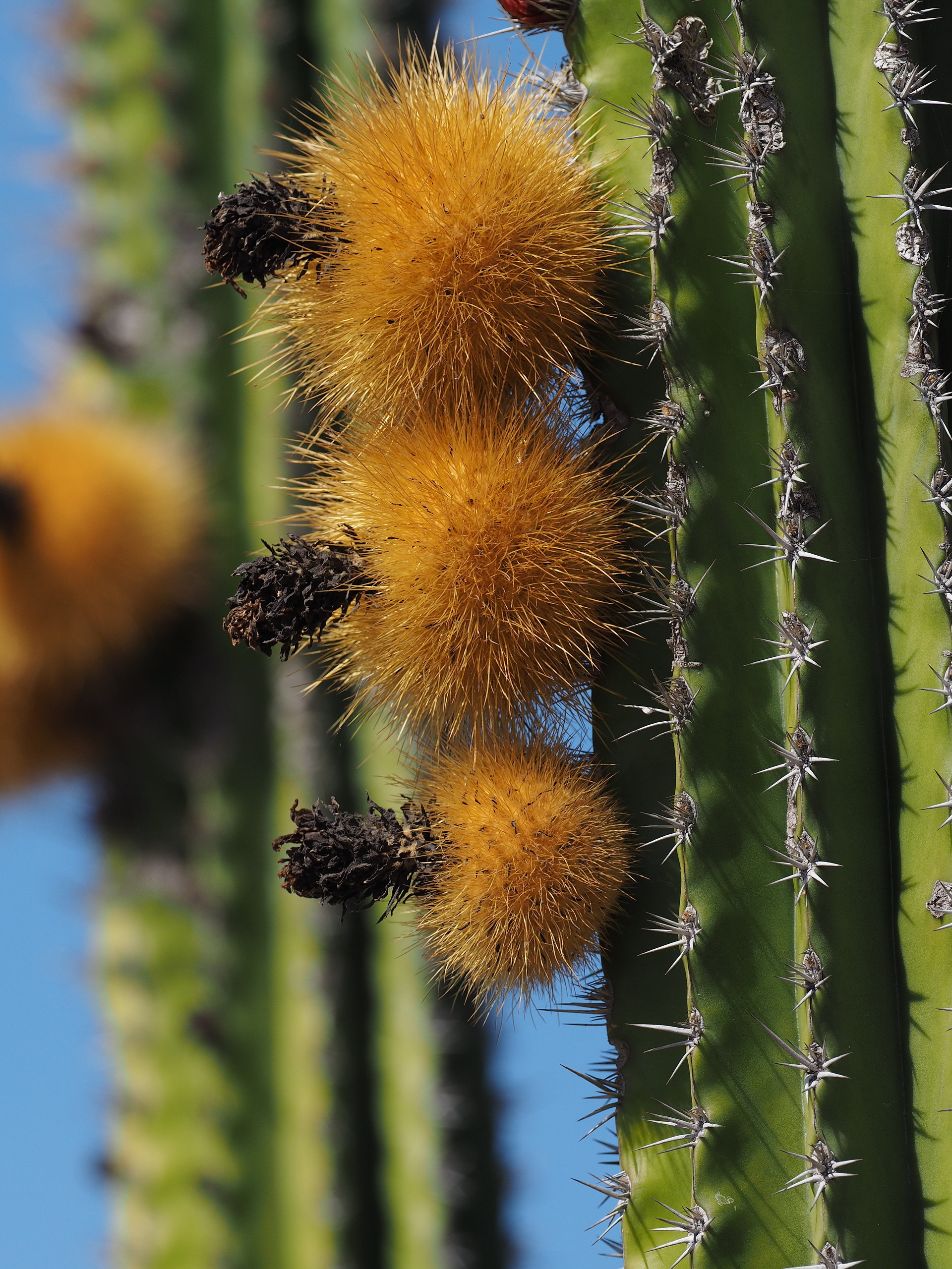
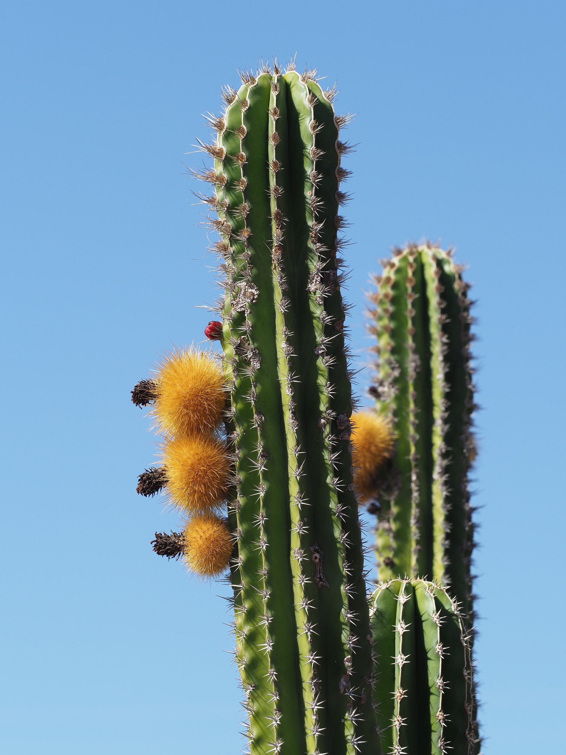
As with most galleries on these pages click on any image below to start stepping through the images – text accompanies each image.
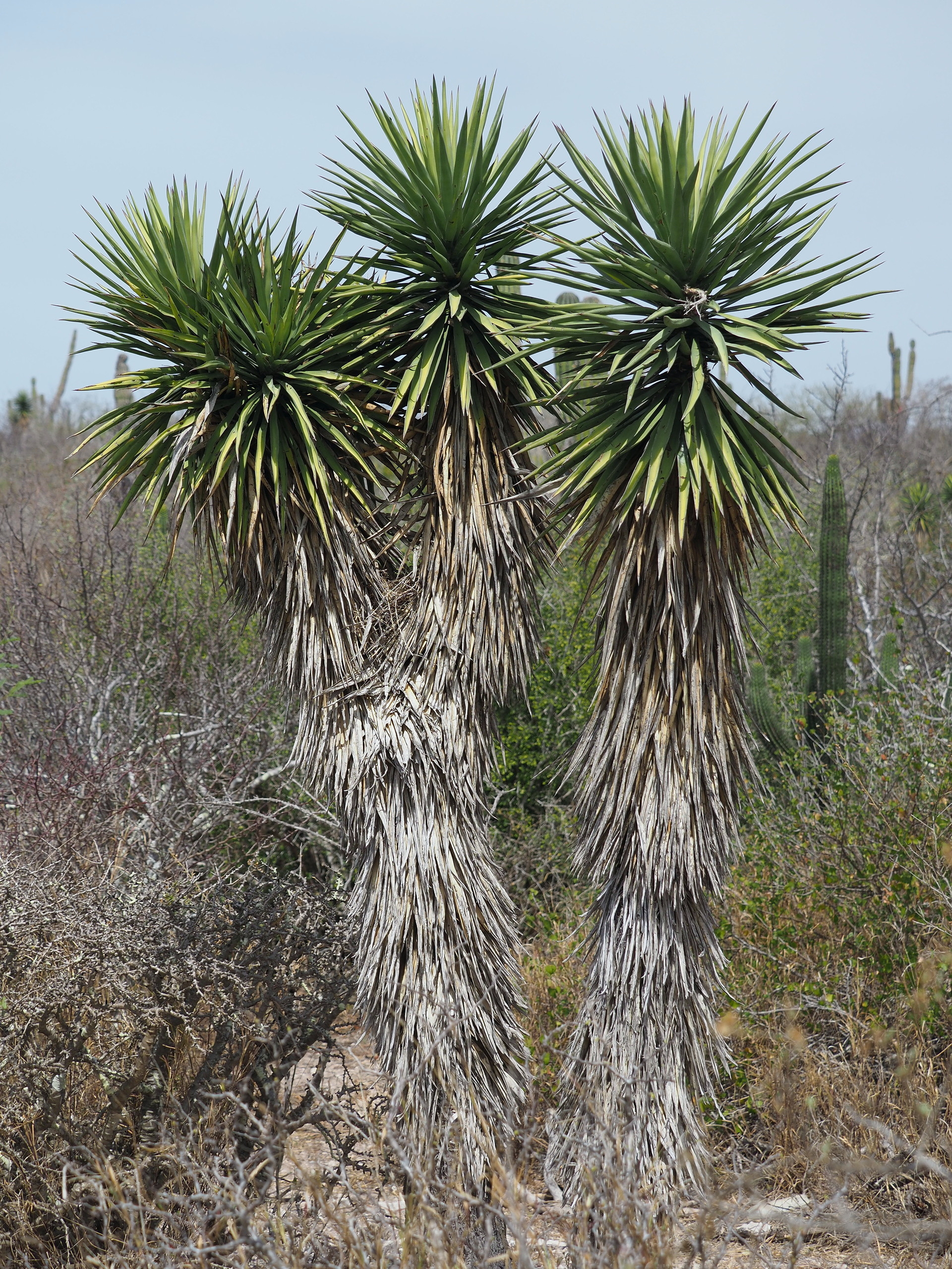


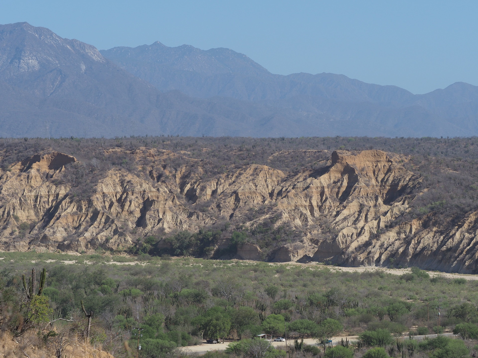
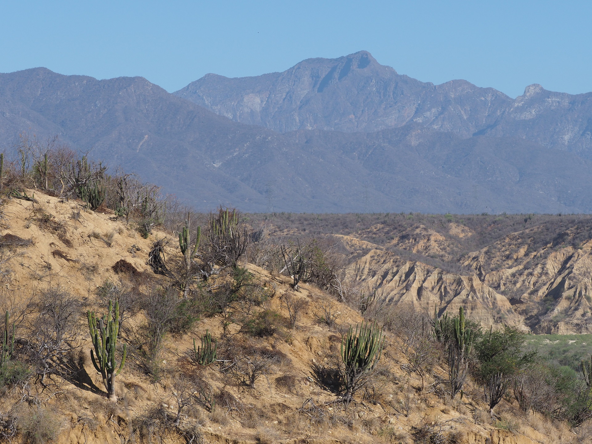
Areas south of La Paz, in the “moister” deciduous forest environment, are shown below.