This trip summary is a consequence to accept a lecturing opportunity aboard a cruise ship (Holland America Volendam) from Florida to Argentina (January 1-23, 2026) – the first segment of a World Cruise. (A list of talks I gave on this, and previous cruises, can be seen here.) As the ship arrived in Buenos Aires, we decided to take time off in Argentina (Jan 23 – Feb 18) before returning to the US.
For faster downloading, images on this page are mostly reduced to 1920 pixels long axis and I am using 70% jpg compression to further reduce the size.
Map of our driving route
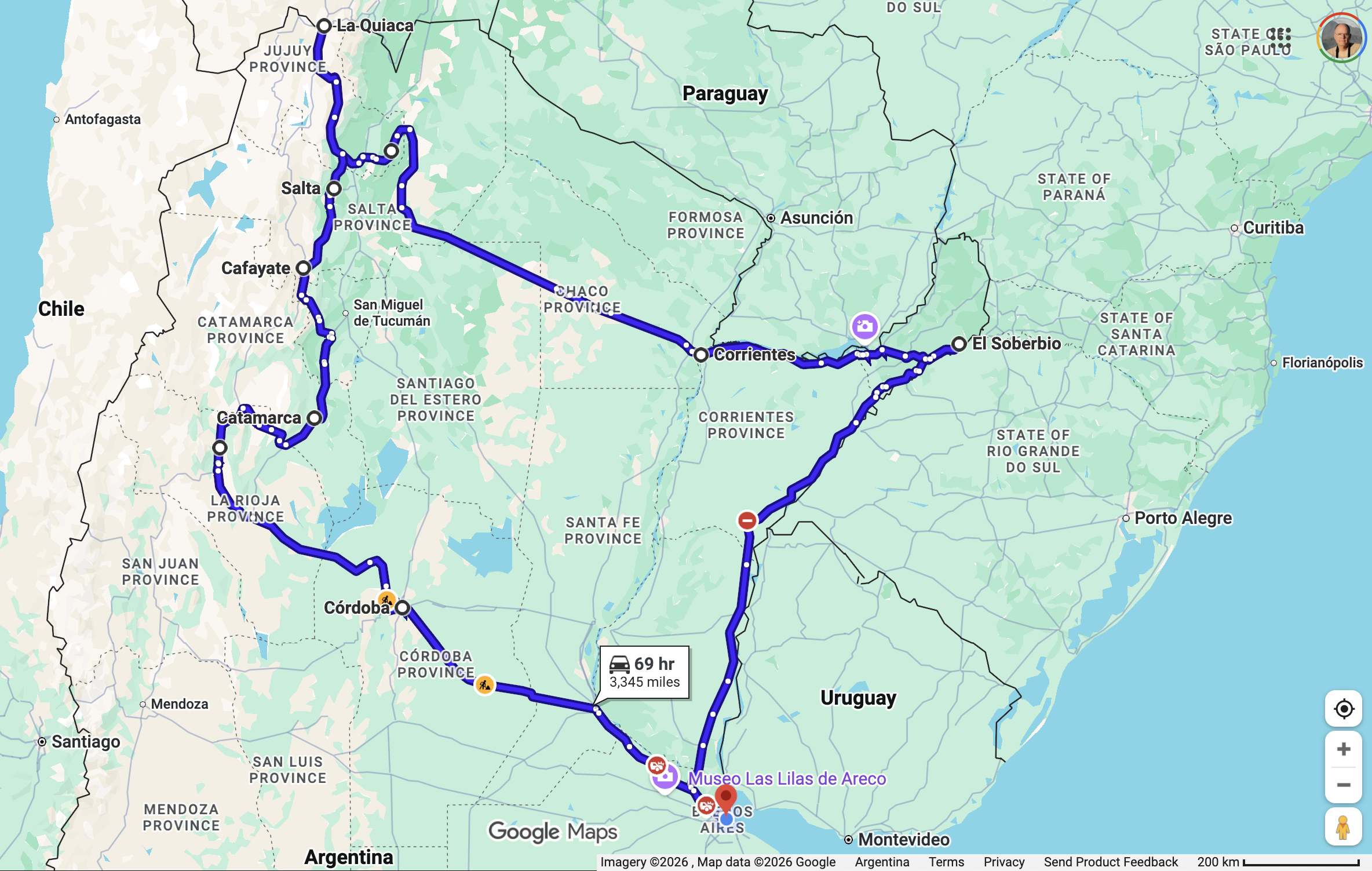
Rationale for our route
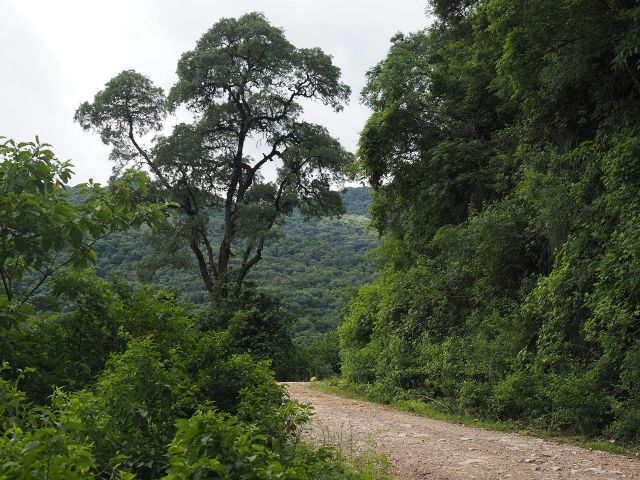
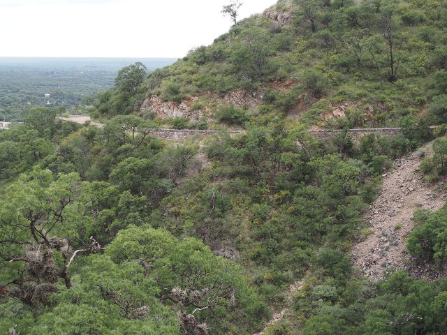
The rationale for this route is roughly as follows. We had never been to the province of Misiones, in the far northeast of the country. This is part of the “Mata Atlantica”, a floristic region that is distinct from the Amazonian biome and yet separate from the moist forests along the Andean foothills that we had visited multiple times in the past. The Mata Atlantica extends along the coast from extreme northeast Brazil, eventually becoming broader and extending inland to eastern Paraguay and extreme northeastern Argentina. The best preserved forests of the Mata Atlantica in Argentina were in Misiones, and much of the surrounding Paraguayan and Brazilian forests have been deforested over the past 40 years.
While the best remaining tracts of forest lie near the Iguazu Falls area in Argentina and Brazil, driving there would have added several hundred extra miles and it wasn’t clear that the additional costs and access would have been better. We decided to visit the forest reserves just beyond the town of Soberbio, along the Brazilian border instead.
Deciding to visit Misiones also allowed us to visit the Parque Nacional los Palmares, a place we had visited some 30 years earlier. Our experience then was in winter – it was cold and the road being dirt was not really suitable for our vehicle. In recent years on international travels we have usually opted for 4-wheel drive vehicles with substantial cargo space. These are substantially more expensive, but we travel with much equipment (including clothes for the cruise portion of our trip) and the high clearance and 4×4 capability with low range – though rarely needed, gives us peace of mind in pulling off the road, or crossing shallow streams or muddy stretches. With low-clearance vehicles you have to turn around (can be a very long detour) or risk getting stuck.
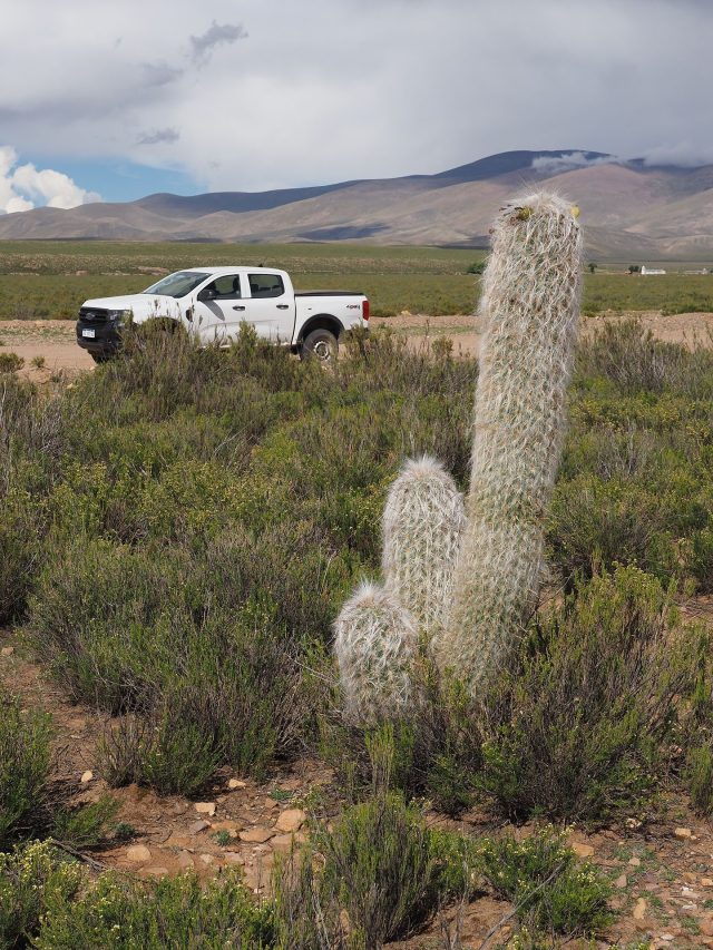
The main drawback to our plan to visit Misiones was that it forced us to drive across the trans-Chaco highway. The Chaco is a flat, relatively uninteresting landscape with short trees and now with lots of agricultural development. Not very exciting 400 mile drive. And we discovered, the road conditions were as bad as we remembered from many years earlier. Frequent potholes, fractured roads (where concrete) and undulating, truck-beaten surfaces where it was asphalt. Traffic was not heavy, but the entire route required careful driving to avoid potholes and bad pavement stretches. The entire trans-Chaco highway is one lane in each direction, with few dedicated passing lanes. Not great for a mix of slow trucks and fast cars.
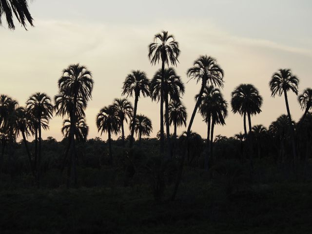
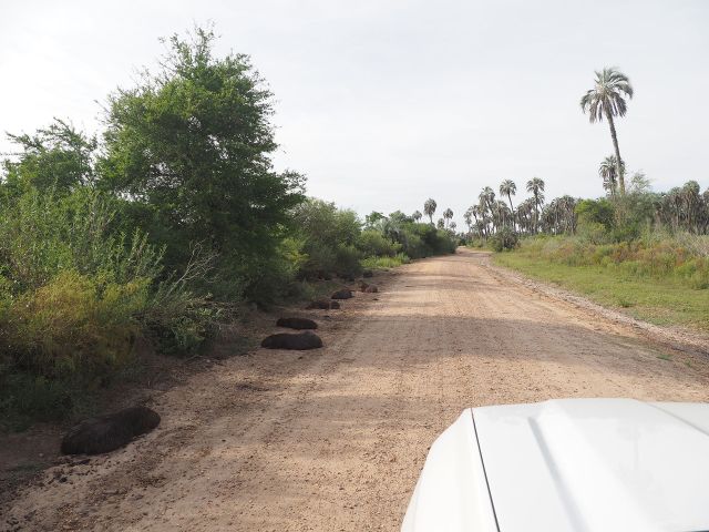
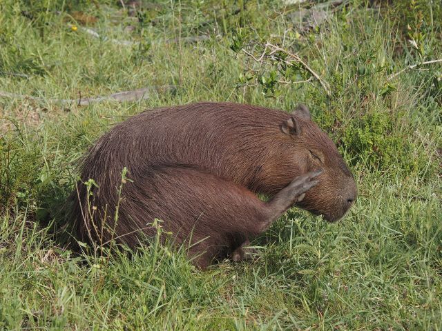
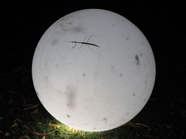
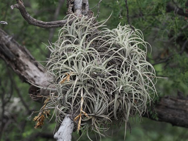
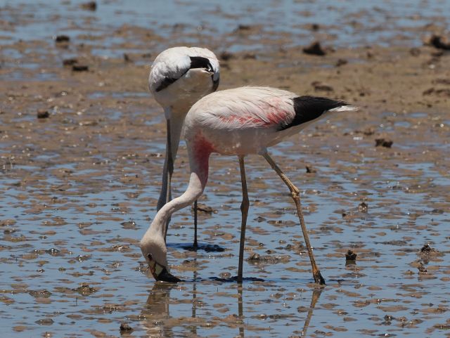
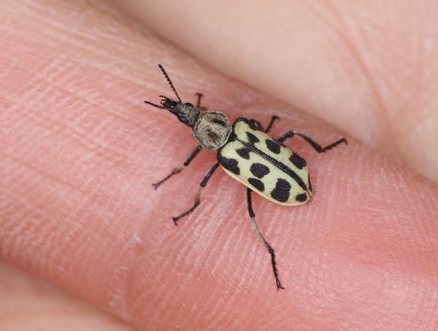
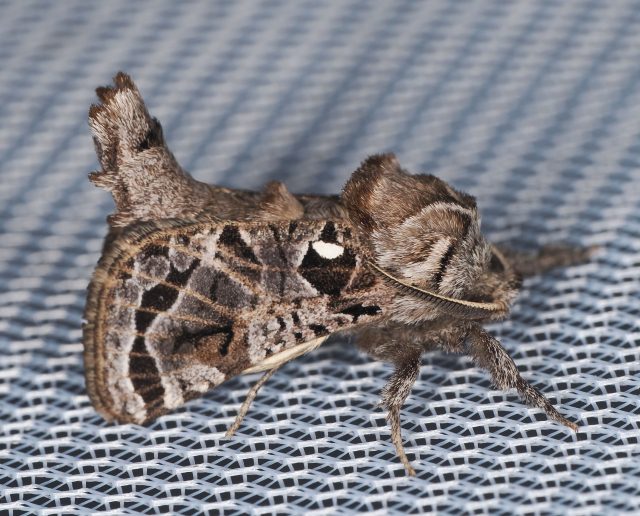
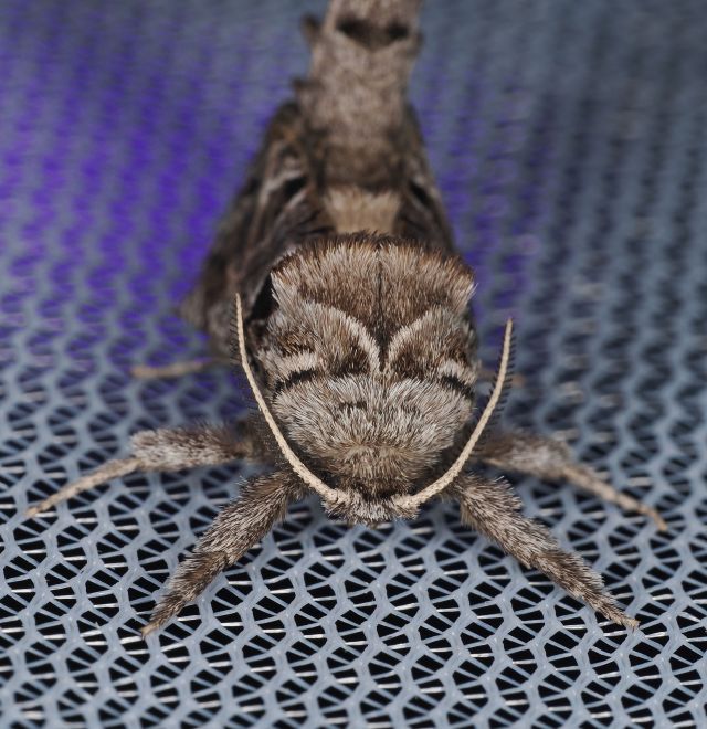
A few random photos are shown below. To see text explaining similar photos go to the other sections of this webpage). If you are really into the identification of the insects shown here or in the other sections, check the iNaturalist links (at the end of each section) for each night’s observations. This will show the insects photos submitted to iNaturalist. Our complete observations for the entire time in Argentina for select taxa can be seen here.
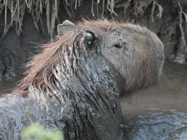
At one of our last stops for the night we were able to get very close to Burrowing Owls in a community park, One photo is shown below. This is the same species as found in North America.

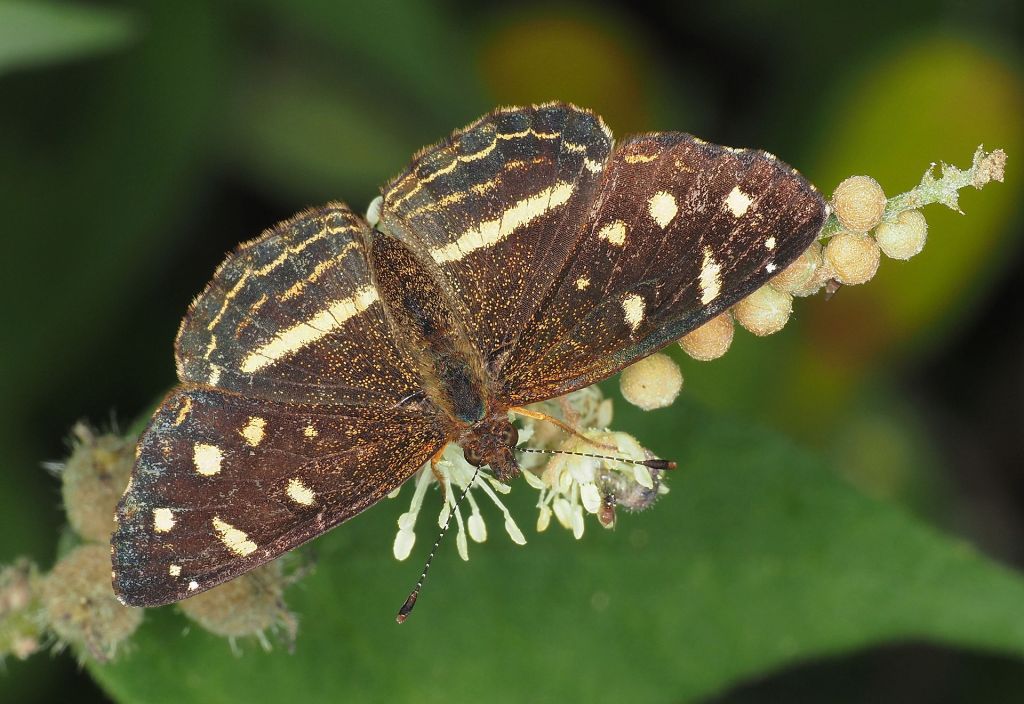
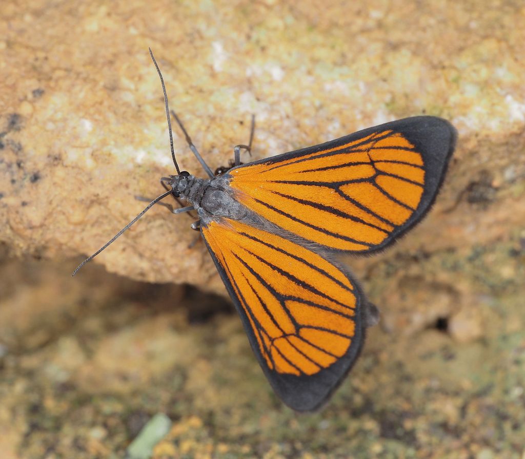
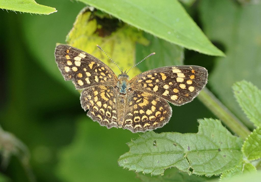
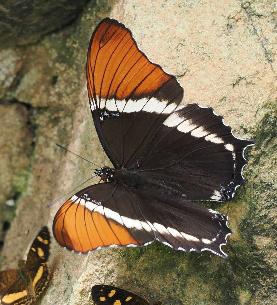
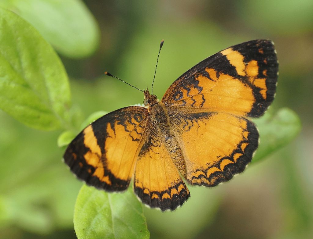
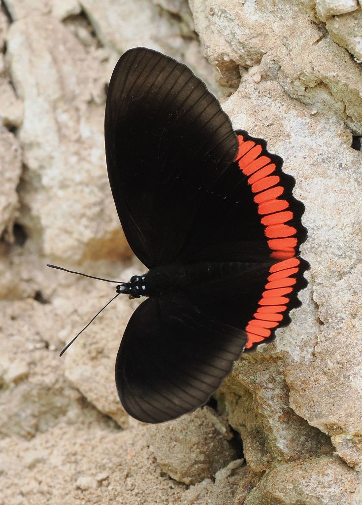
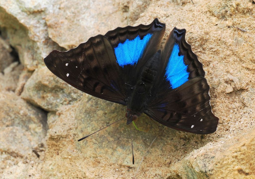
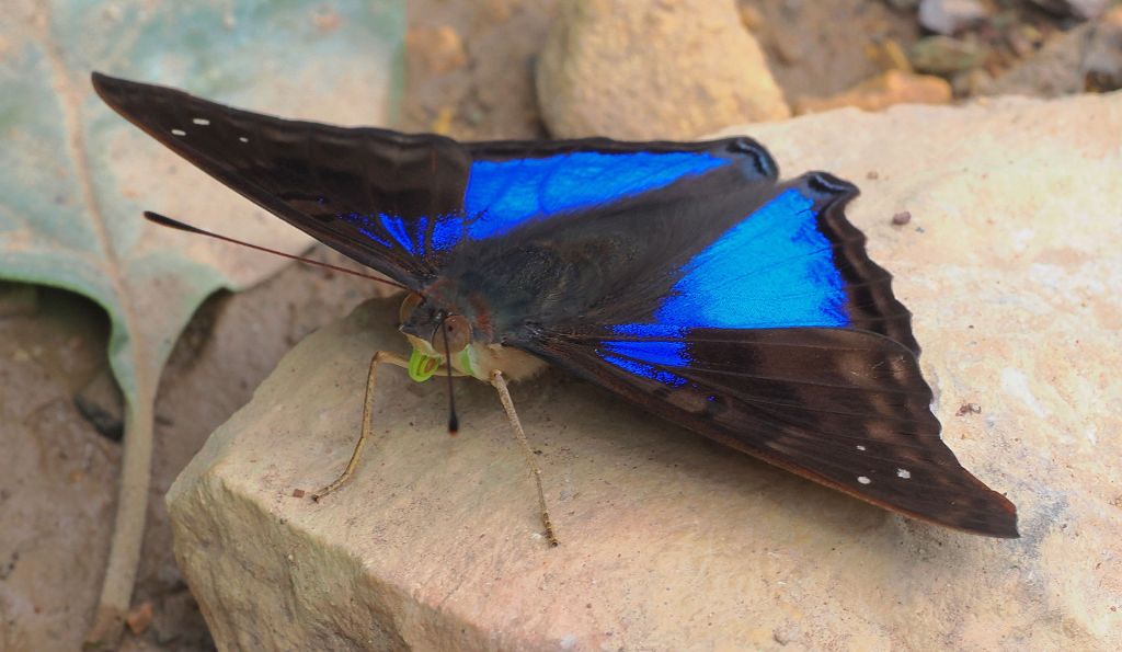
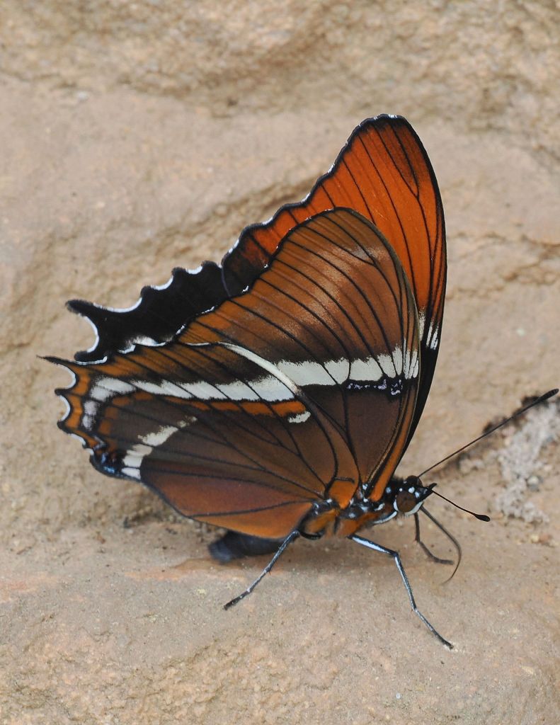
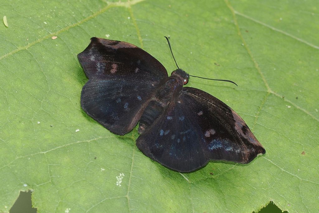
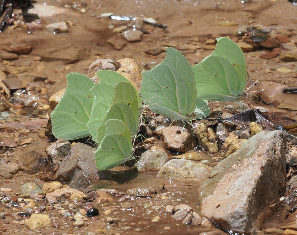
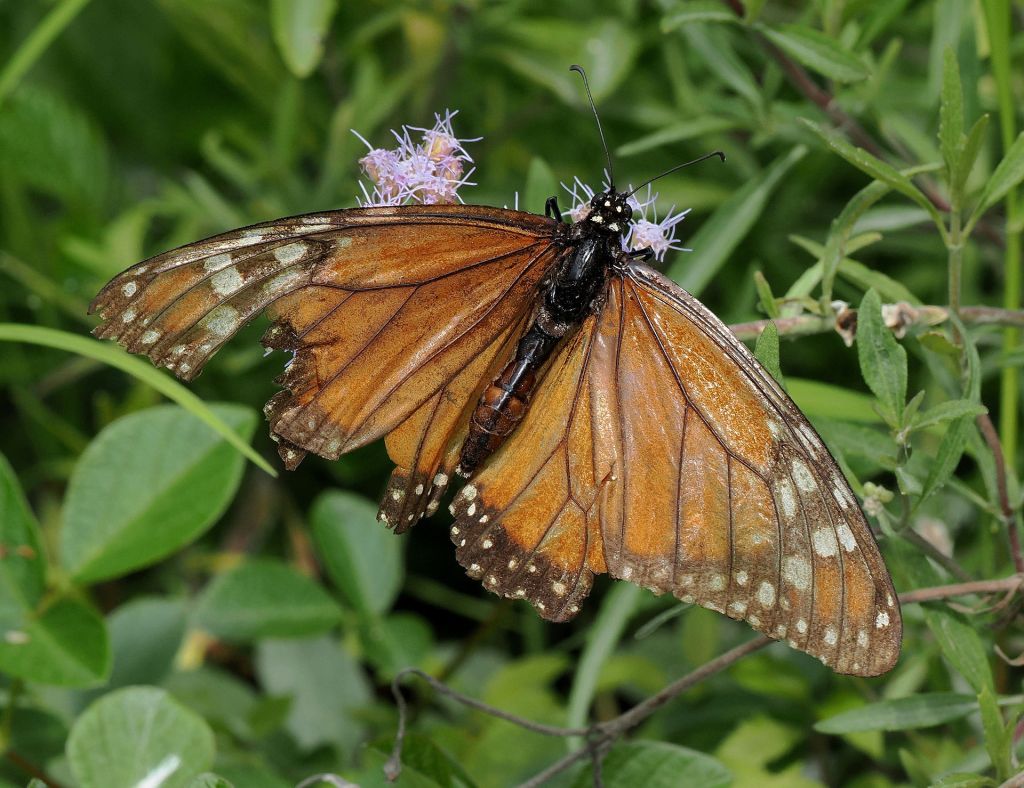
Some butterflies we saw along roadside “licks” along the dirt road leaving Ecoportal de Piedra. Road was good for wildlife viewing because it was lightly traveled and recent rain had reduced dust on plants and from vehicles. Normally I (Mike) don’t have patience for chasing buterflies to photograph them, but most of these were on rocks on the road cuts and were obviously attracted to seeps that had something they liked. There were dozens to hundreds in some areas. I used a 300mm lens for most photos, that is relatively close-focusing (to about 4 ft) since most butterflies are skittish.