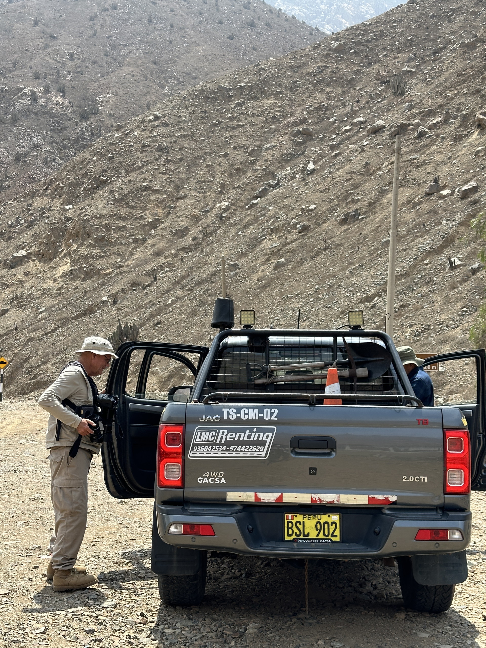
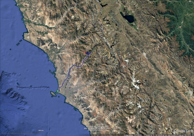
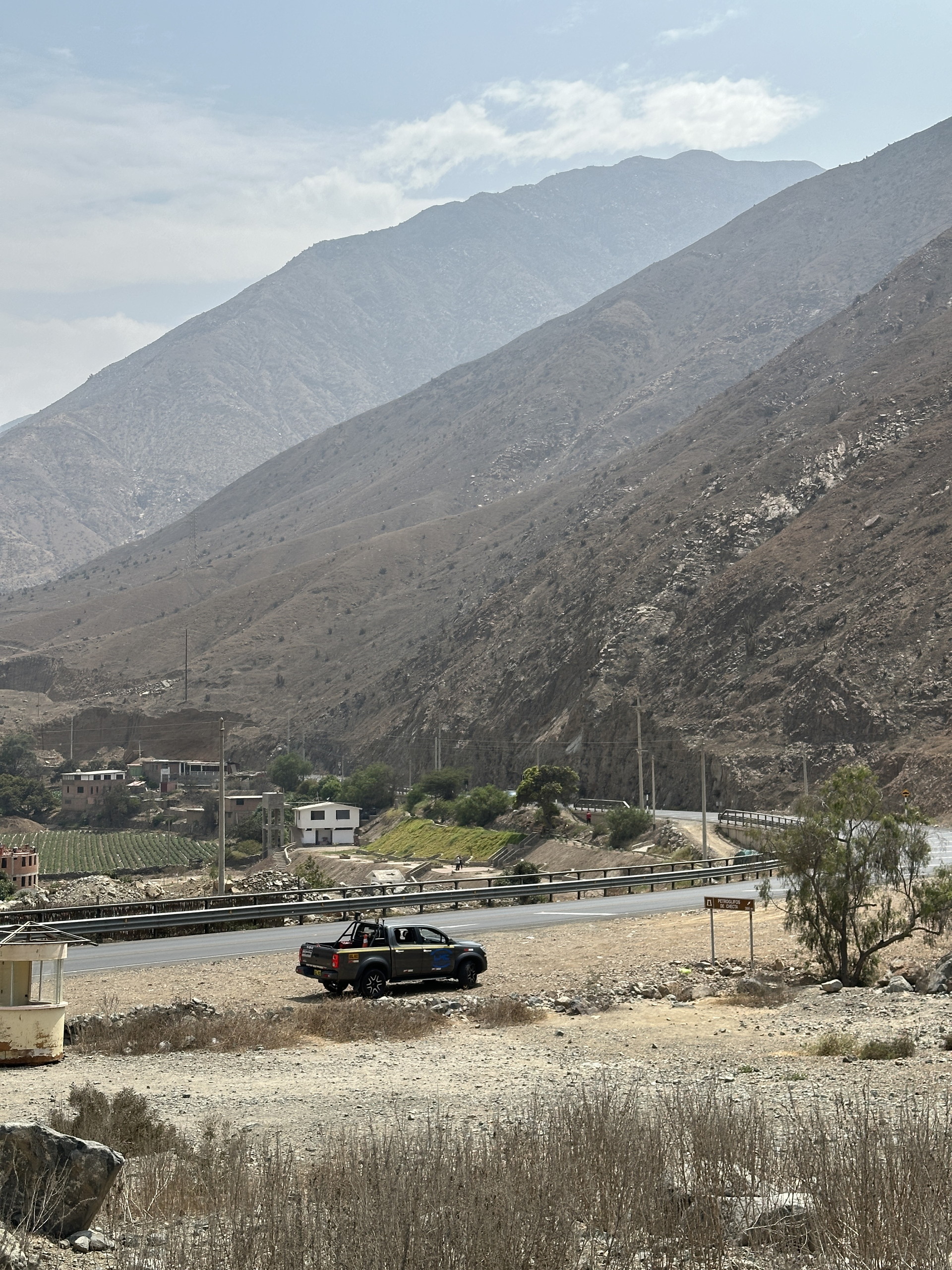
We had an overnight stay in Lima on a cruise from Ft Lauderdale to San Antonio (Chile), and we had made contact with Manolo Fernandez, whom we had previously traveled with in Peru, to see if someone would want to go for a day trip to some place botanically interesting. Manolo suggested I contact Carlos Jimenez, a biologist interested in succulents and biodiversity conservation. We agreed to meet outside the port area in Callao, where our ship was docked. Carlos had obtained a camioneta (4×4 Toyota Pick-up) that we rode through the Lima suburbs and eventually out of the urban areas, up the canyon of the Rio Chillon. This river, like the other main river flowing through Lima (Rio Rimac) have their origins in the high Andean rains and snowmelt some 100 miles east of the Peruvian coast. These Andean peaks are not visible from Lima, or from most other coastal areas of Peru.
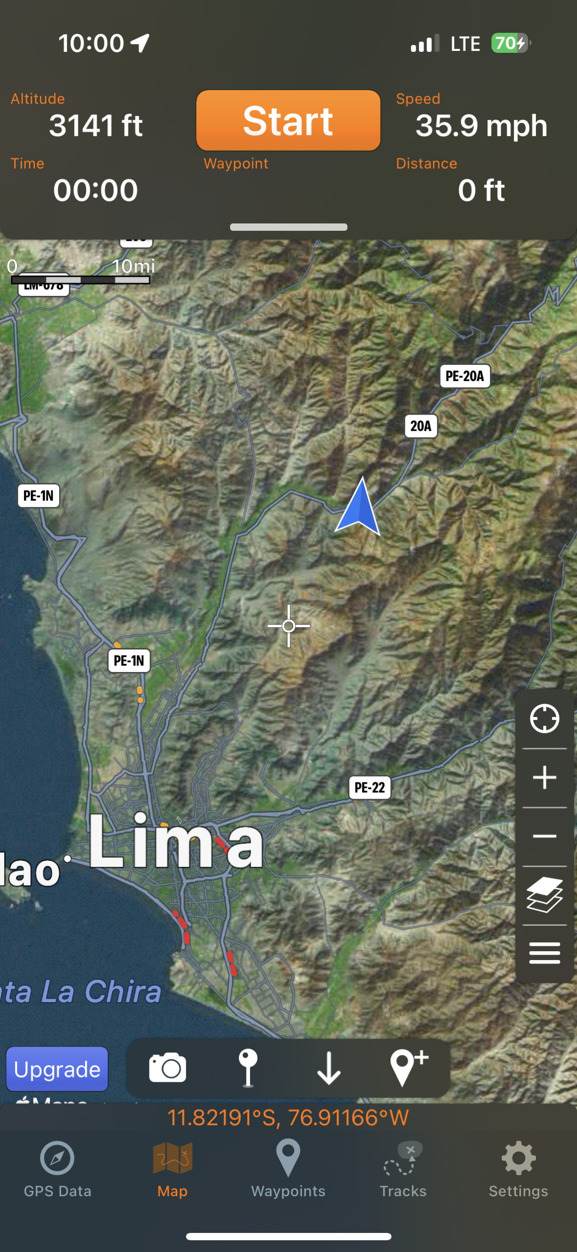
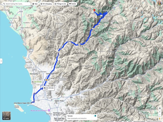
We had expressed an interest to see some of the main succulent plants we knew, from previous travels in Peru, to be present in the higher terrain above Lima. From inspection of Google Earth imagery we knew of some areas that would be interesting, but in the end accepted the suggestion of Carlos to travel up the canyon of the Rio Chillon, and then turn off and climb to a village where he grew up. The trip took all day and we returned well after dark, but this was fortunately an overnight say for the ship in Lima (Callao), so we had no problem returning to the ship.
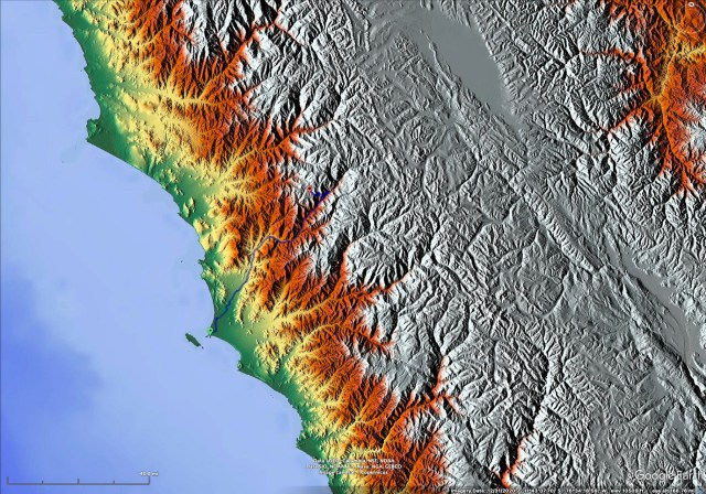
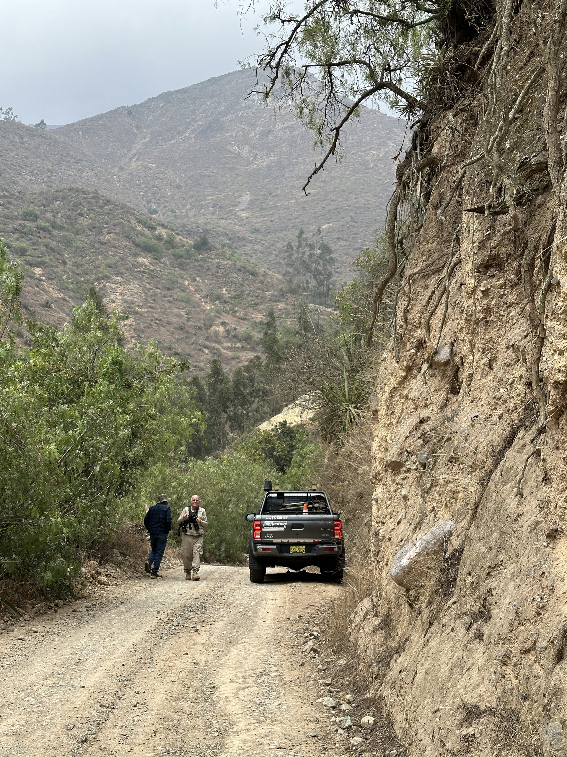
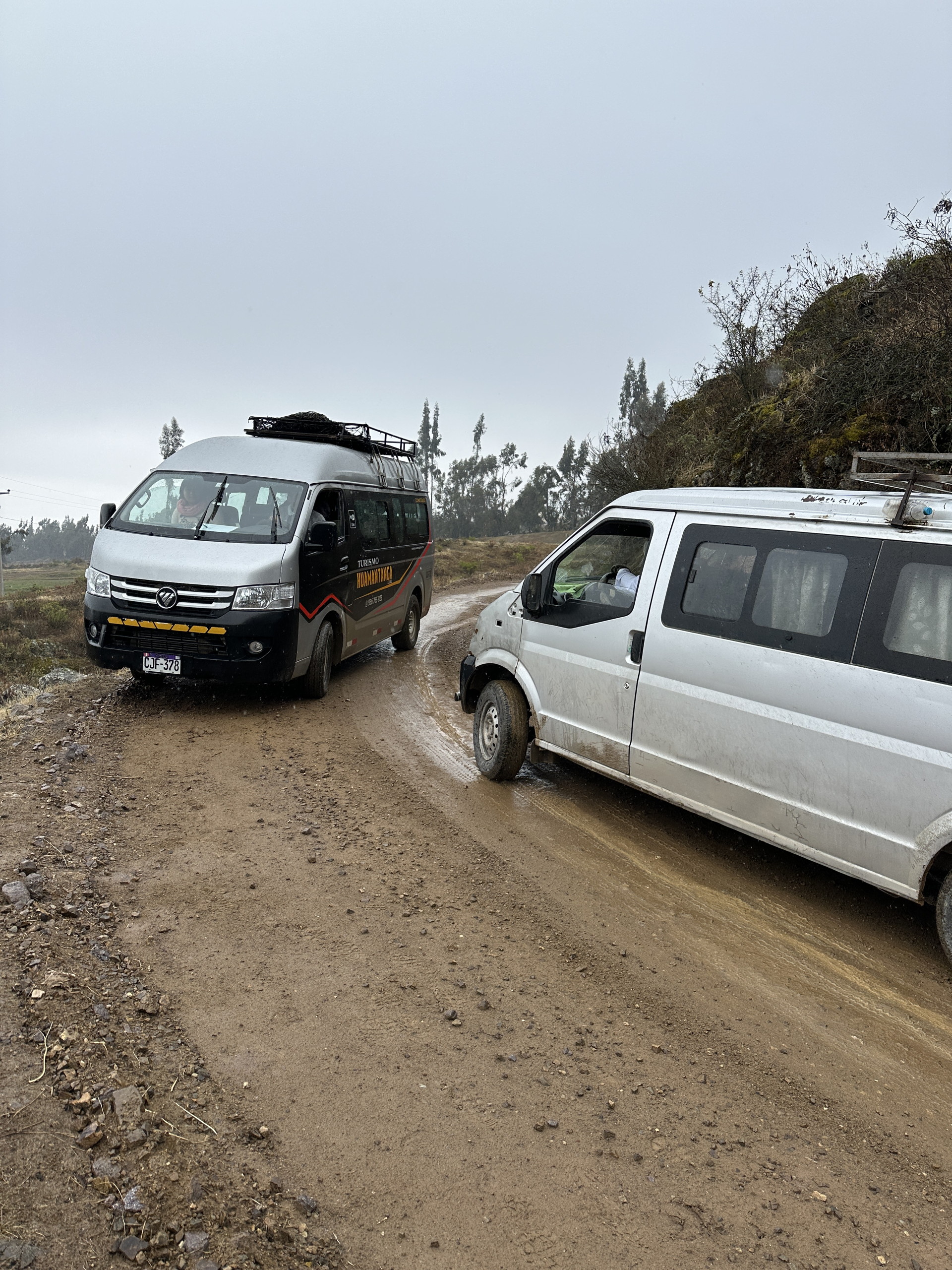
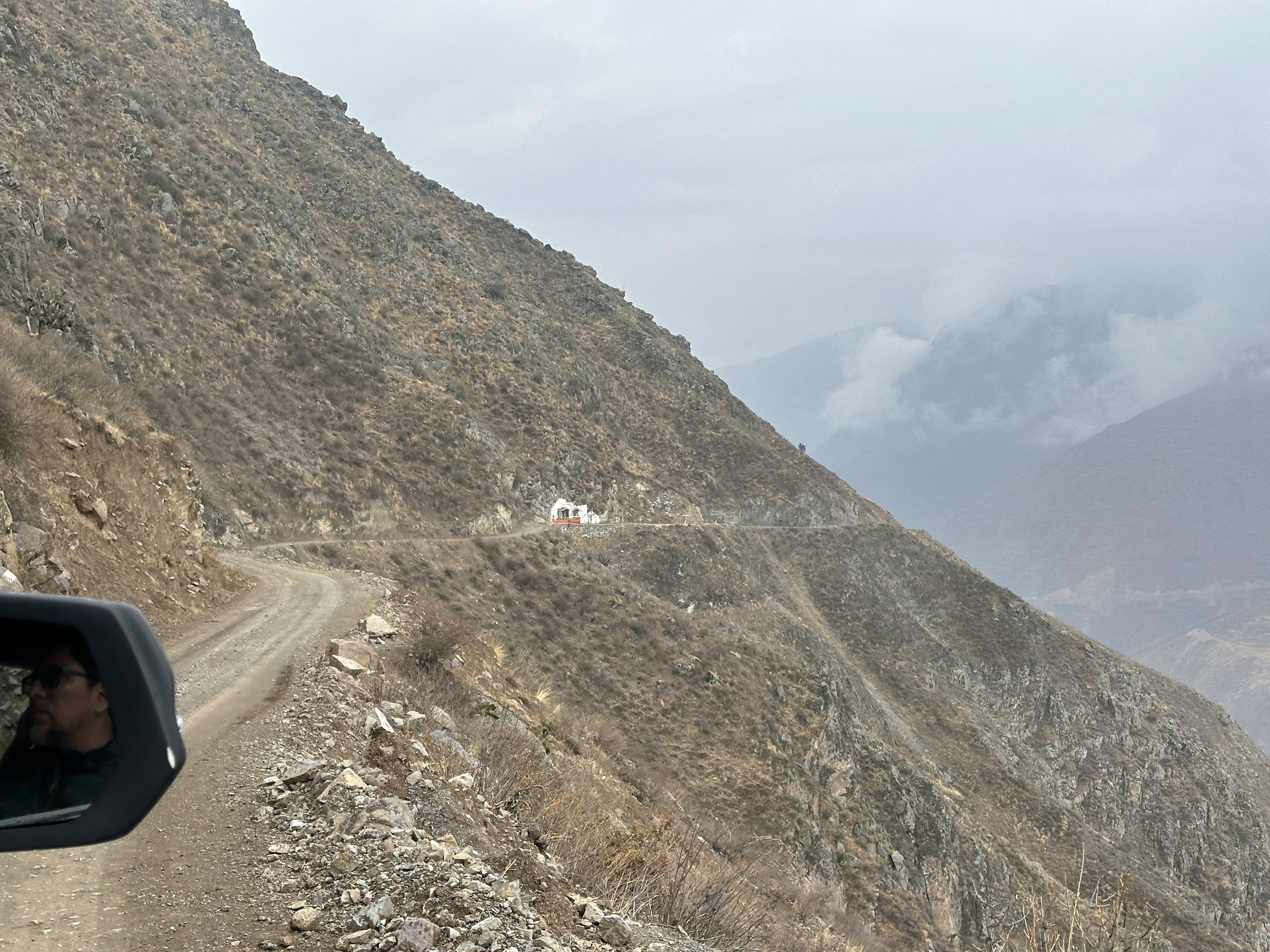
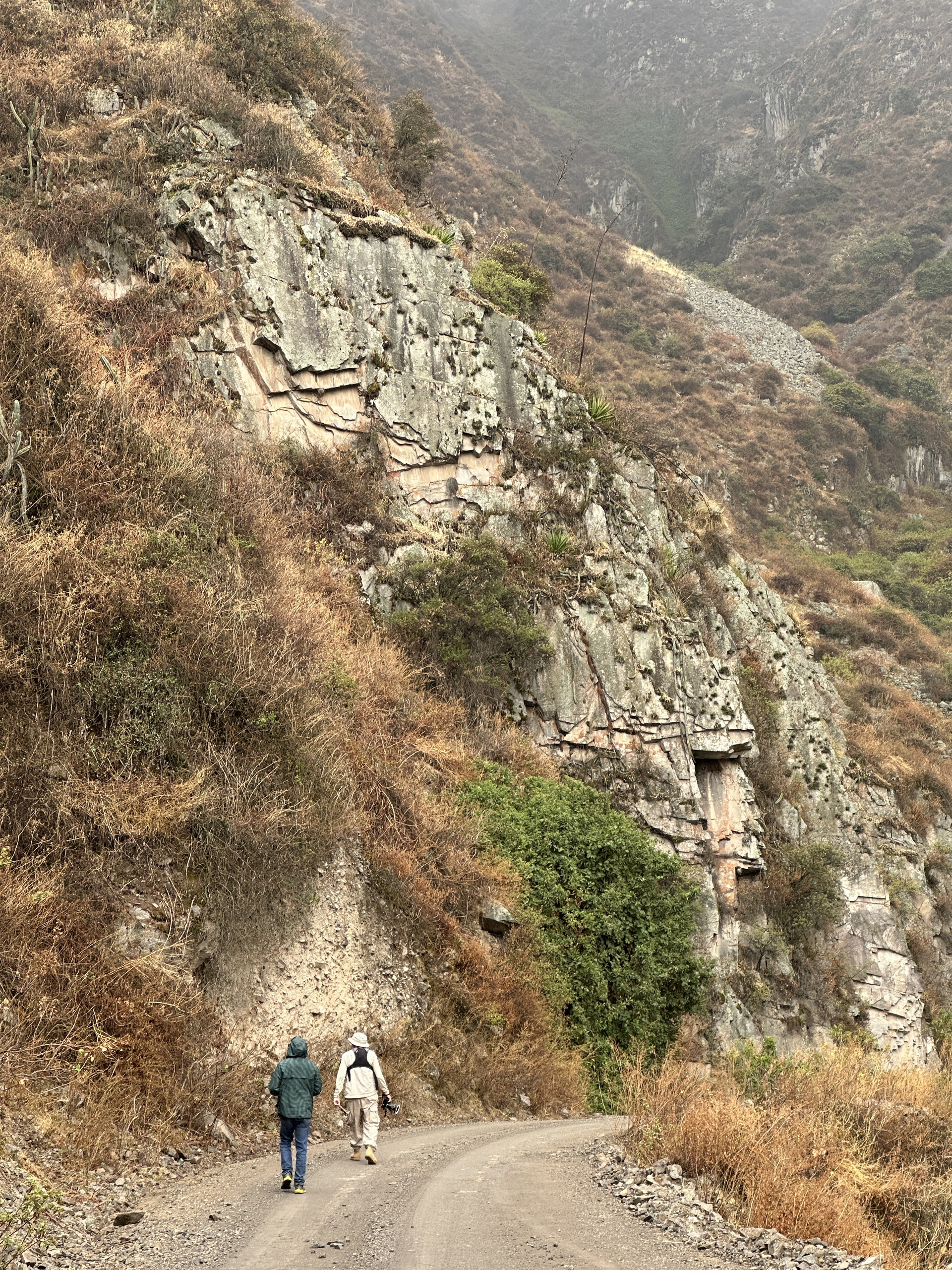
The imagery below shows our route and we went from sea level in Callao to just over 11,000 ft altitude in 75 miles. The first 60 miles were via a good paved road. When we reached 7,200 ft elevation we turned off on a dirt road for the last 15 miles. This took a handful of hours – each way – because we would stop and walk to look at the plants on the hillsides. And, in the last 15 miles we climbed more than 3500 ft! The canyon slopes were very steep in places, and I joked that our seat belts would only be useful to help rescuers locate our bodies if we went off the road! Fortunately, our Venezuelan driver was very good, and had years of experience driving to mining sites in Peru. (There are something like 1 million Venezuelan refugees in Peru.)
From our perspectives this trip’s highlights were not the pristine landscapes, but the transition from the extreme coastal desert with little vegetation at all, to a much moister, yet still dryish landscape at the higher elevations. On the other side of the Peruvian Andes there would have been very wet cloud forests, with the forests extending from near sea level to the drier puna, above 12,000 ft.
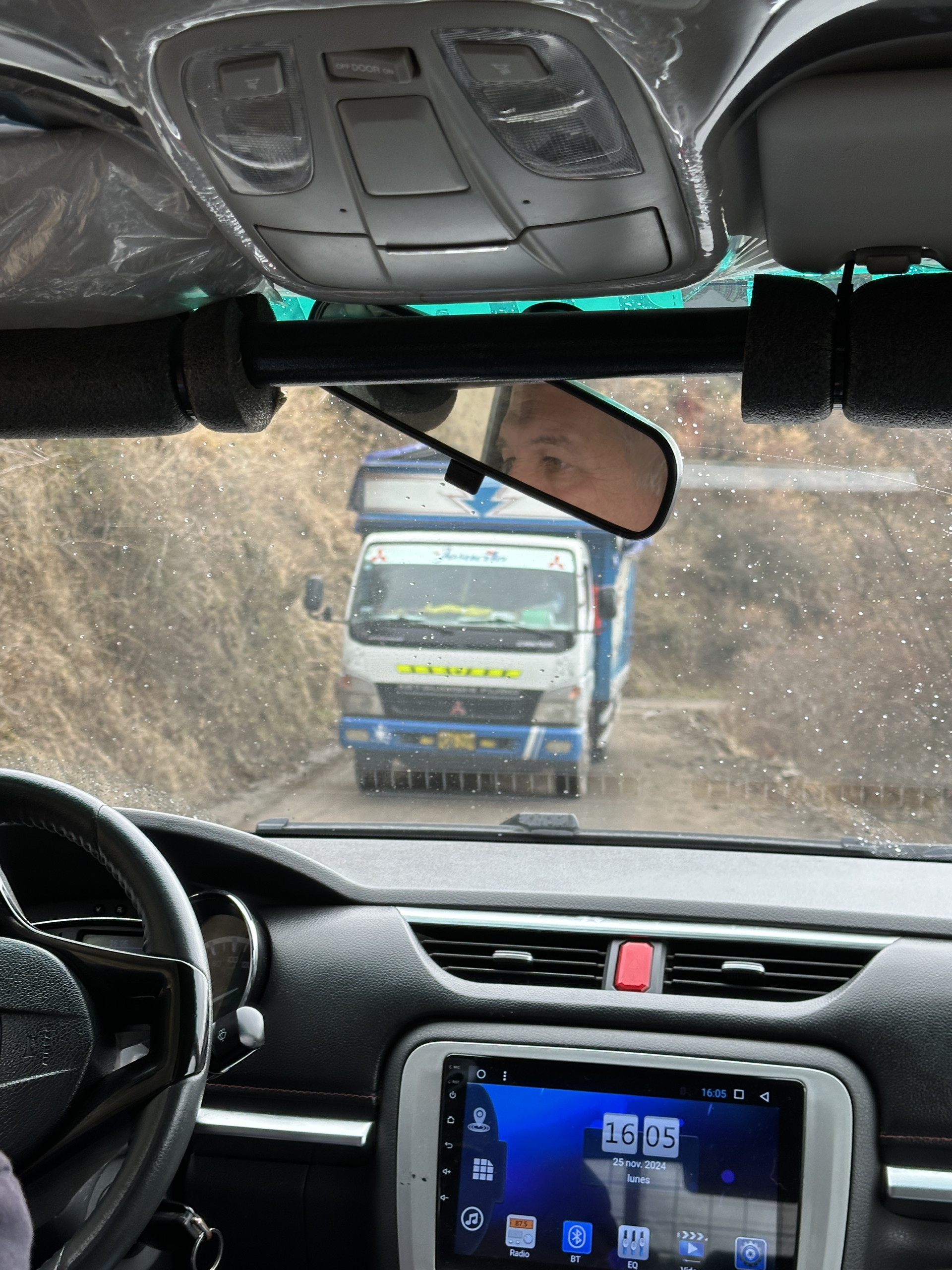
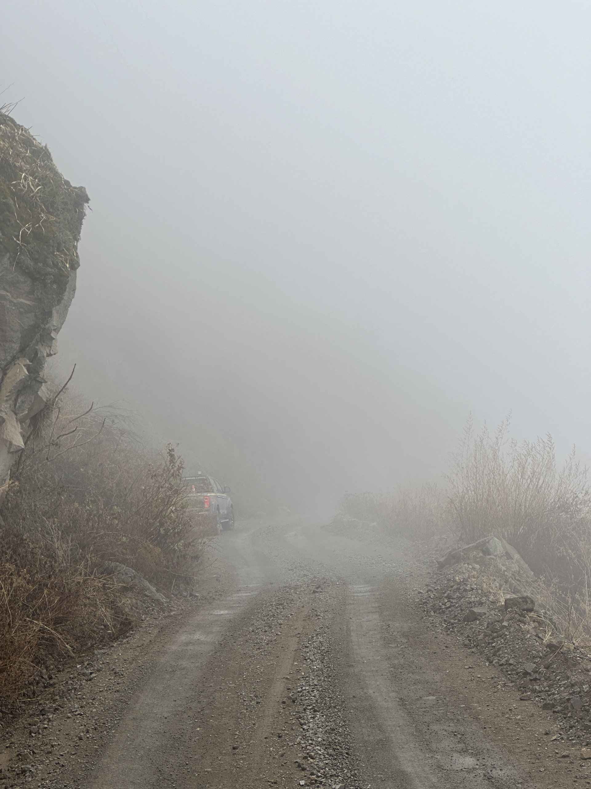
For the non-botanically inclined, this trip might have been just a long day. But since it had been raining enough to turn the vegetation somewhat green (it was still very early in the rainy season) there were a number of plants beginning to leaf out. While our ascent was dry, during our descent it rained some and this helped clean the plants of the heavy dust load they had accumulated. This is actually quite important for photographers. Along dirt roads in dry areas, the traffic tends to create so much dust that the plants are heavily covered in dust. Rain can was this off; the alternative is to hike away from the road to find cleaner plants. Normally that is the ideal situation, but on our route the hillsides were too steep for casual walks away from the road. Later in the rainy season (perhaps Dec-Mar) less dust would be present – but the road would be potentially more dangerous (rockslides, slippery road surface etc). Traffic was quite light on this road (perhaps a vehicle every 10 minutes or so), but it was a mostly one-lane road, so vehicles had to be careful when passing and to be on the alert for oncoming traffic on the, at times, very windy road.


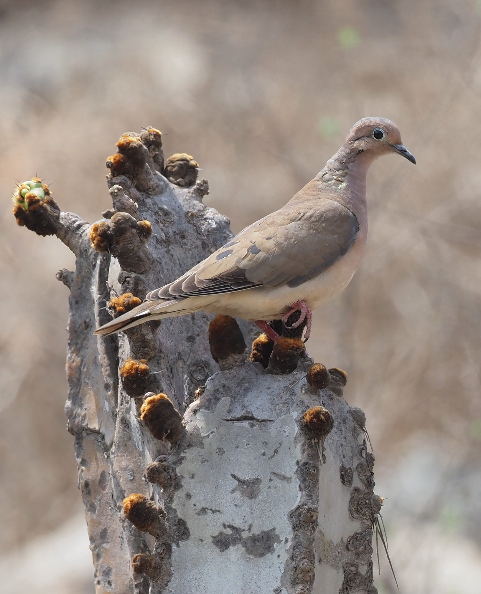
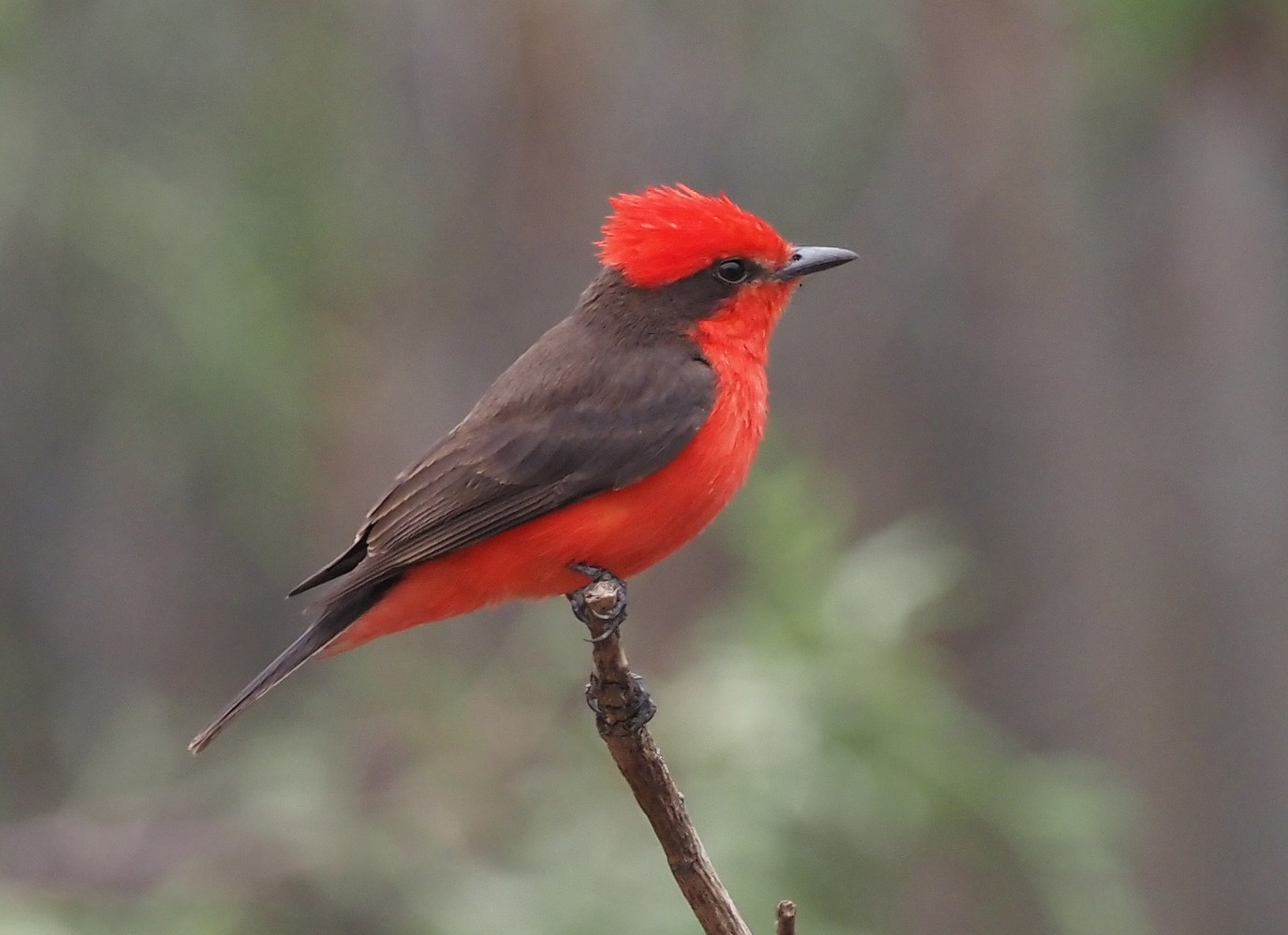
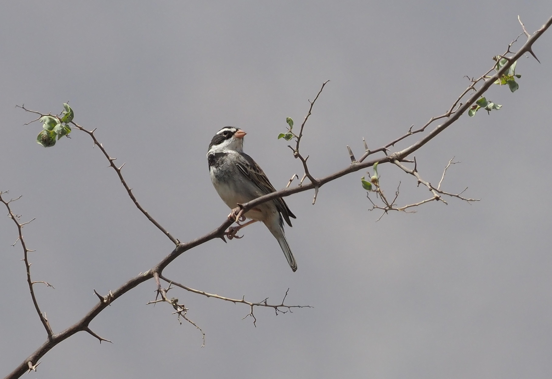
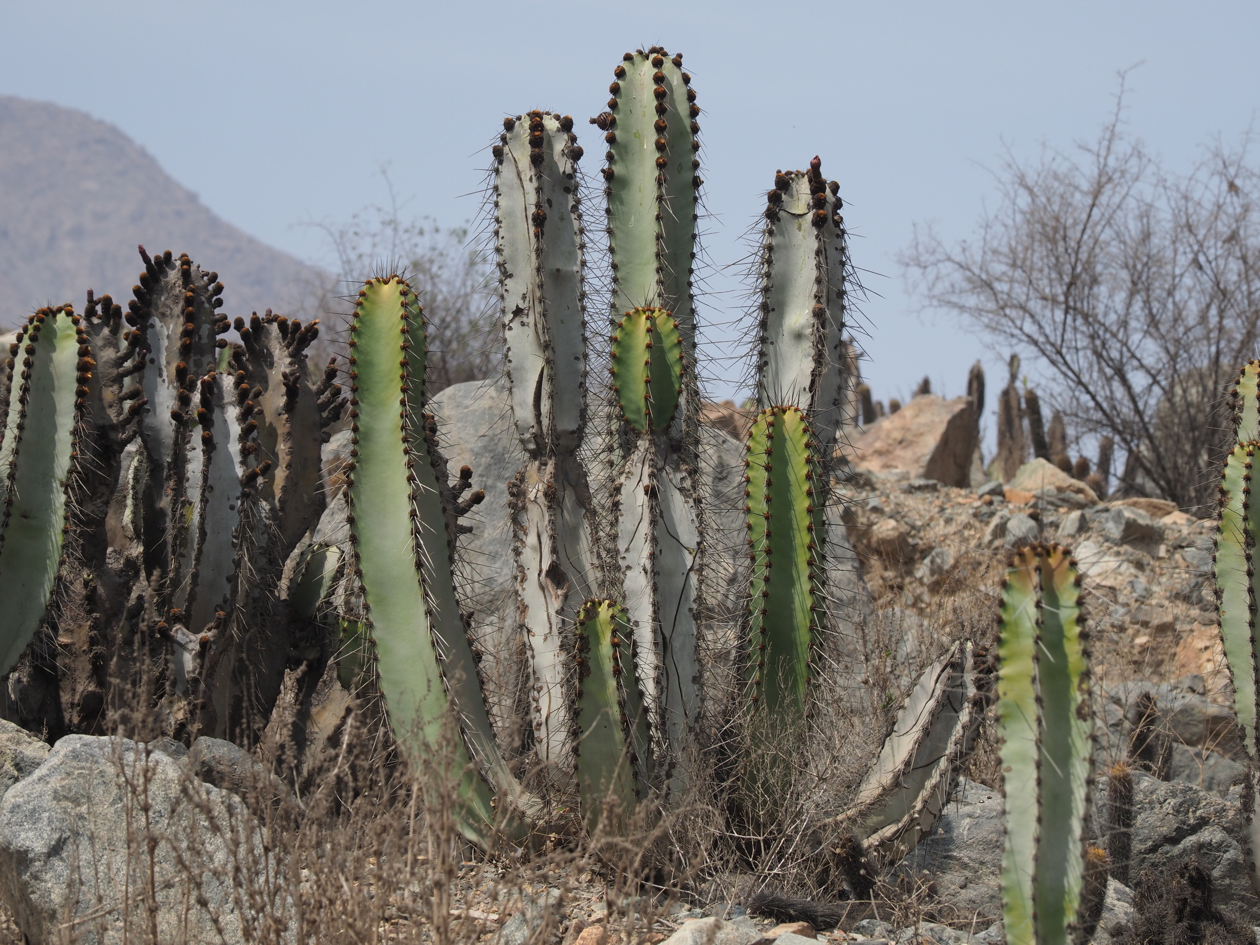
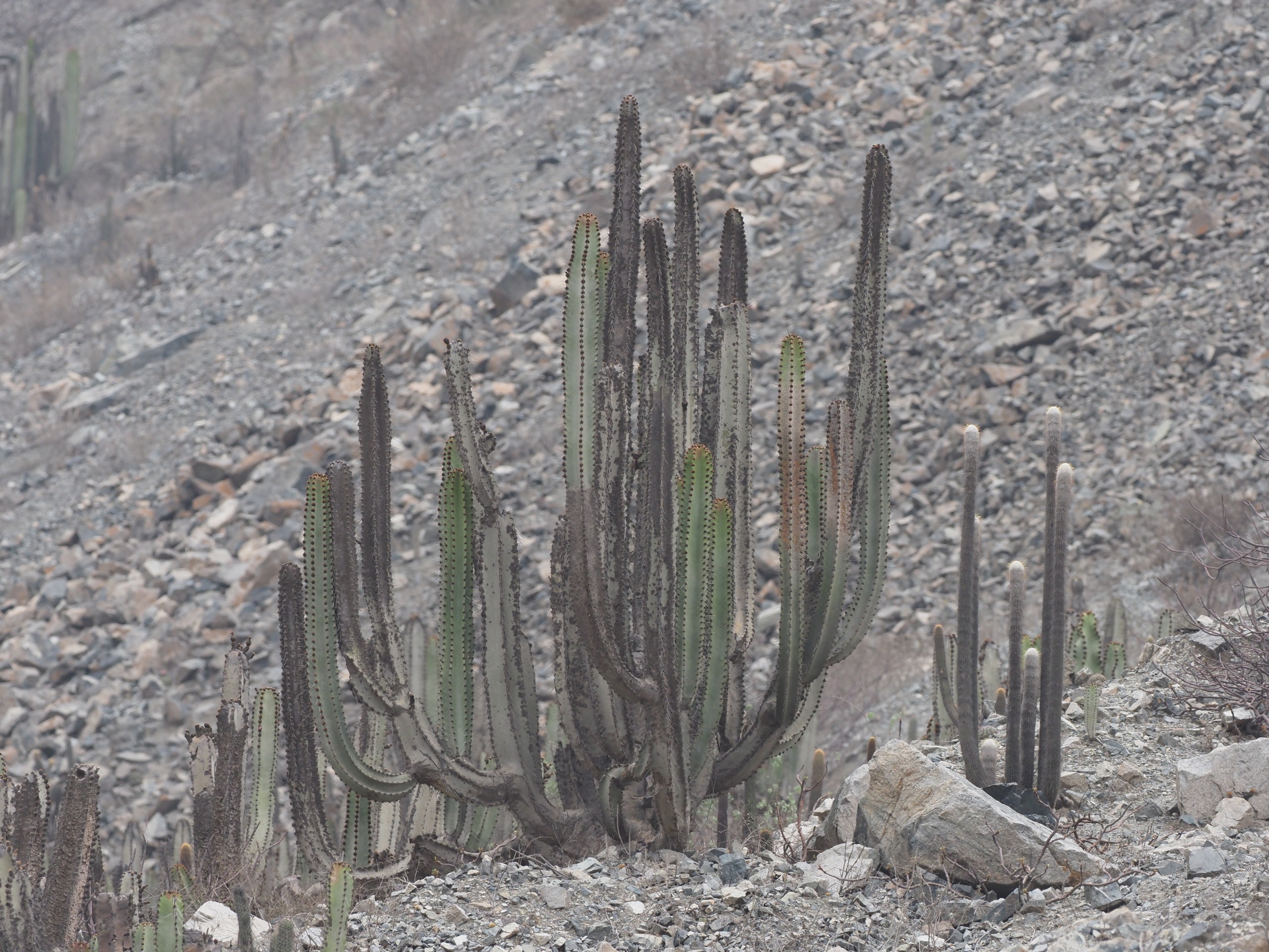
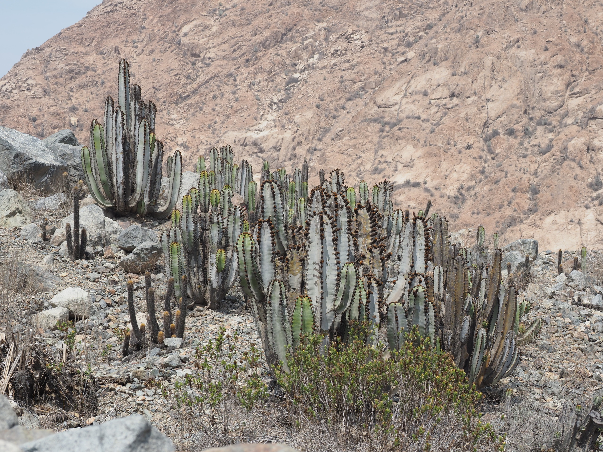
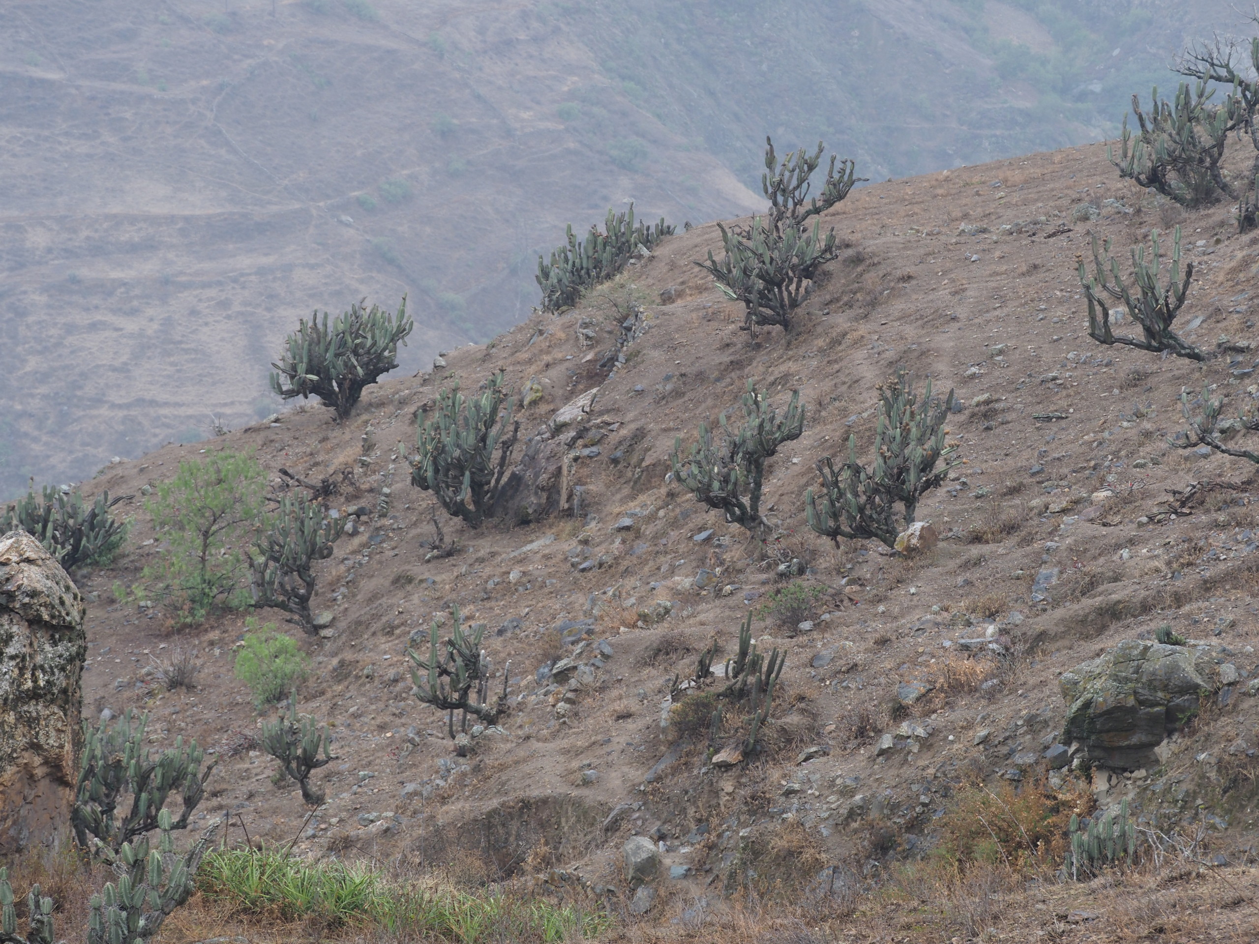
We made a stop in cactus habitat (Zona Arqueologica Petroglifos de Checta) at about 1000m (~3300 ft) elevation. Here we saw scattered Neoraimondea and Haageocereus and we saw a few birds including those in the gallery below. We also made a stop on the return to explore the dry, yet densely cactus-covered slopes at about 1400m (~4600 ft).


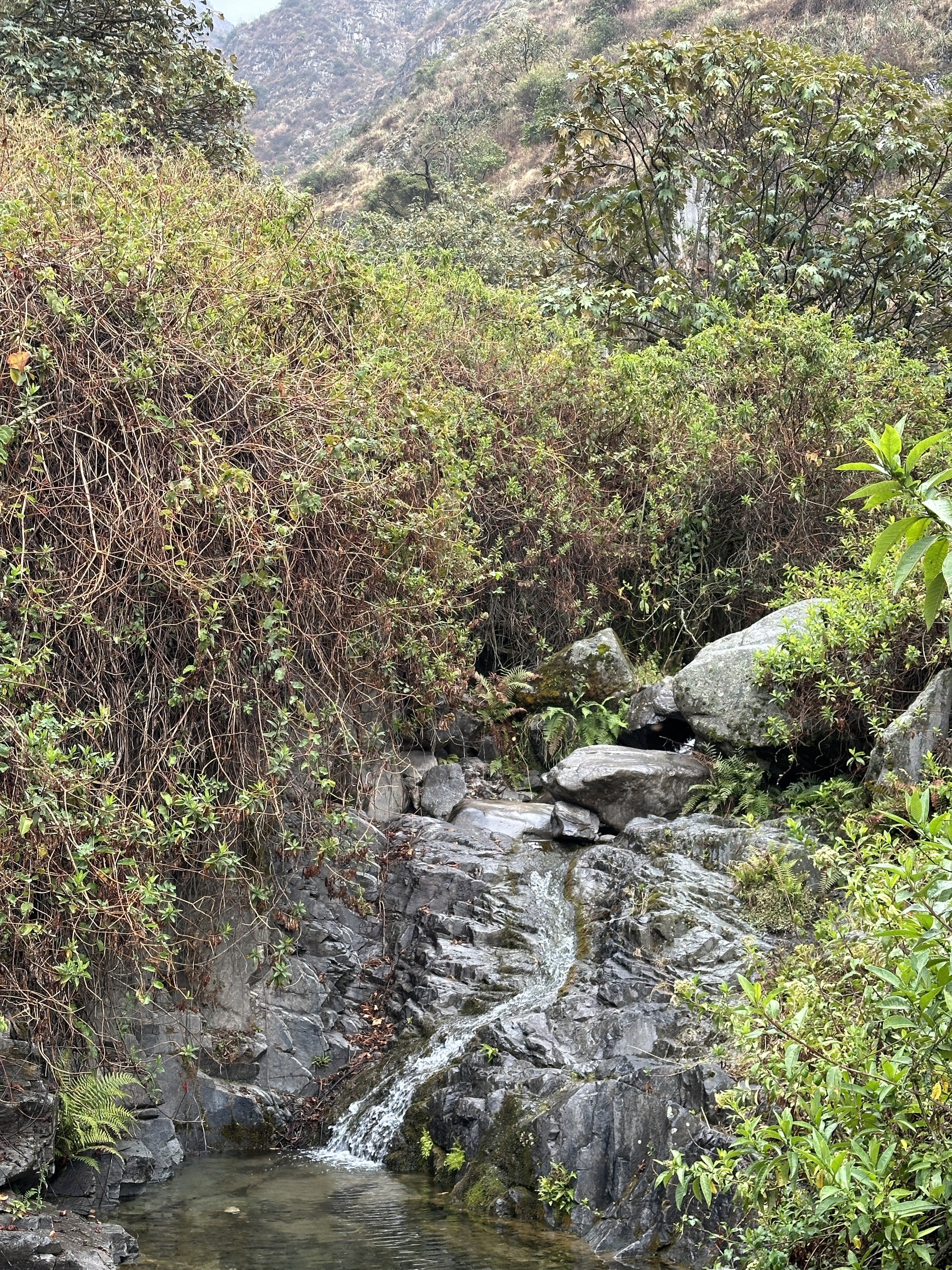
Higher up, above 7000 ft, we arrived at a short forest type of environment, that had moister environments, yet nothing like the really moist forests of the eastern slopes of the Andes. This is a seasonally dry forest and the rains had really just started when we visited. It would undoubtably appear more verdant in February or March.


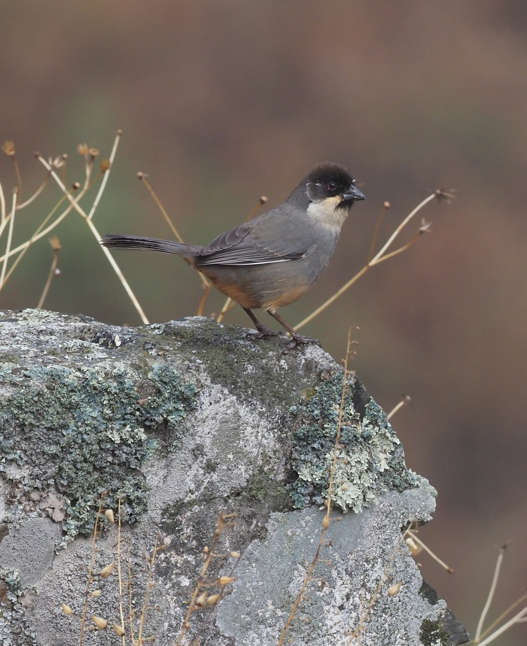
One bird that we saw, a Rusty-bellied Brushfinch, highlighted the narrow range endemic species that might be found in this dry forest environment on the western slopes of the Andes. A map of its estimated distribution is included shown below.

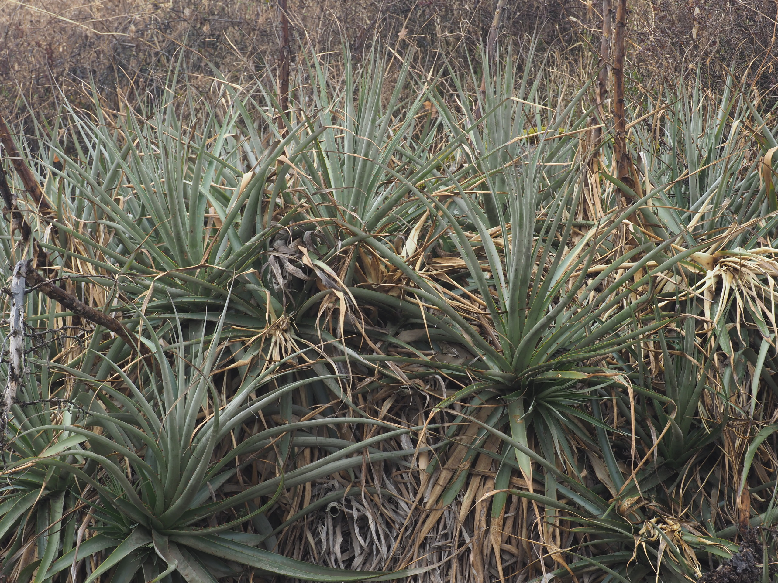
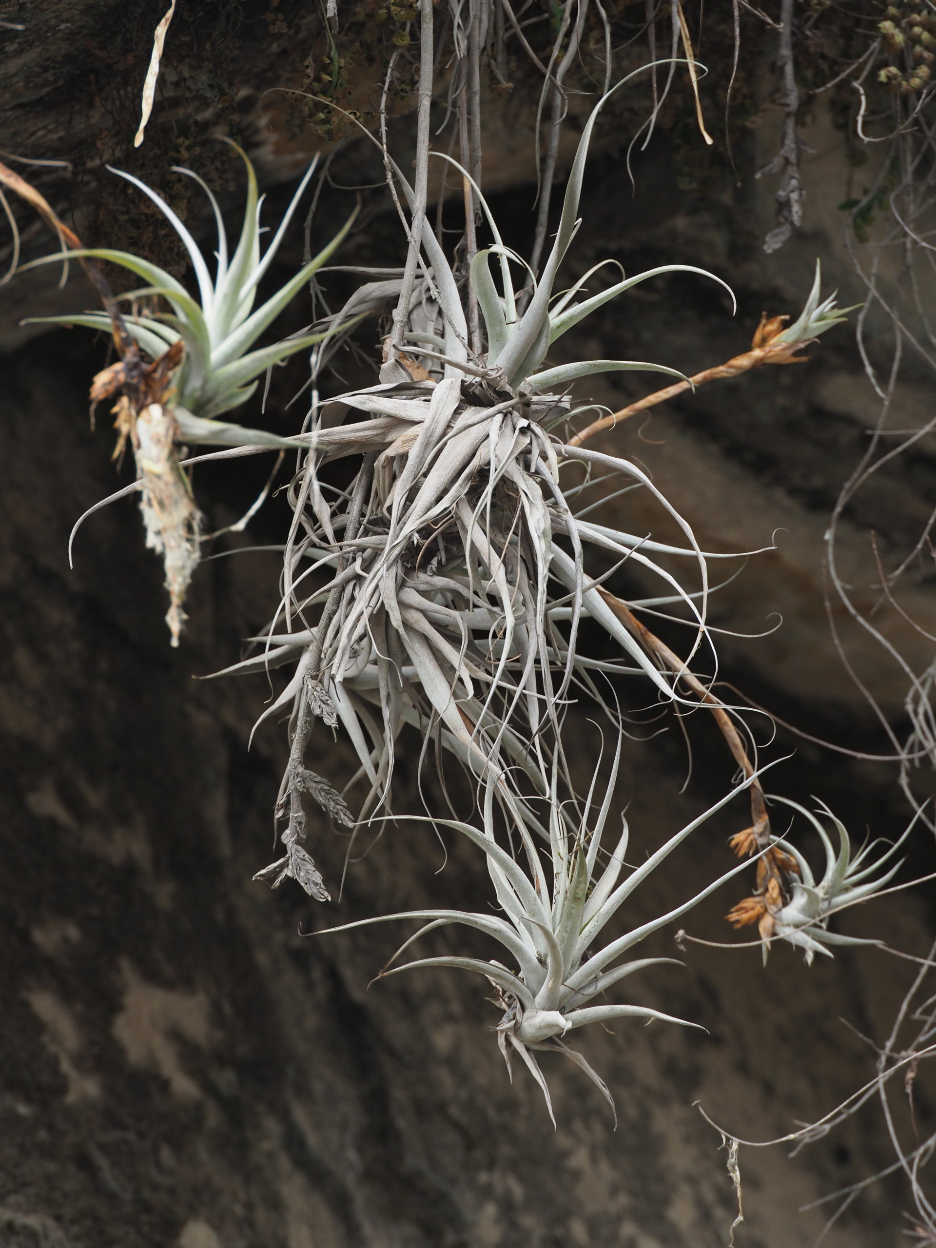
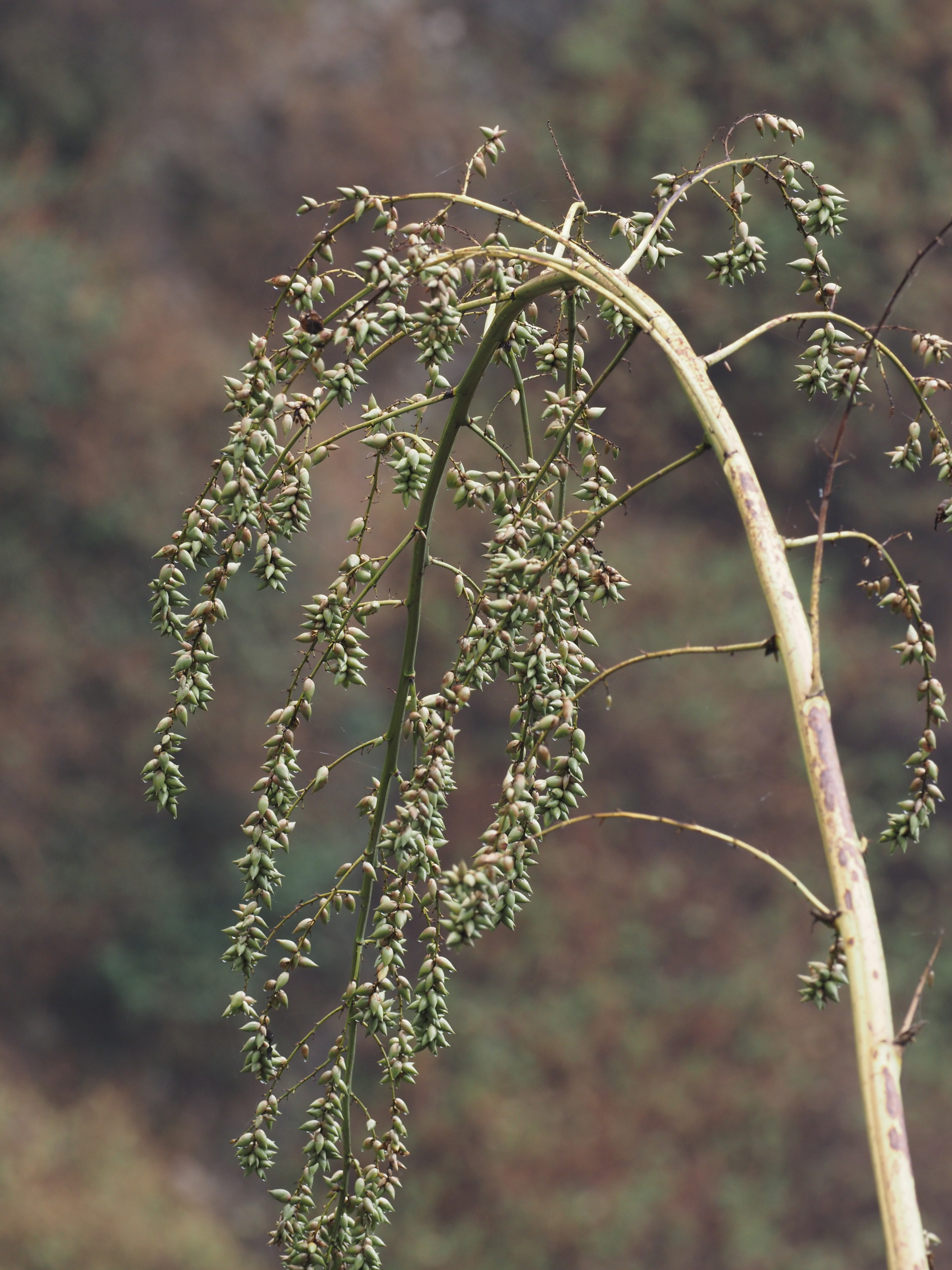
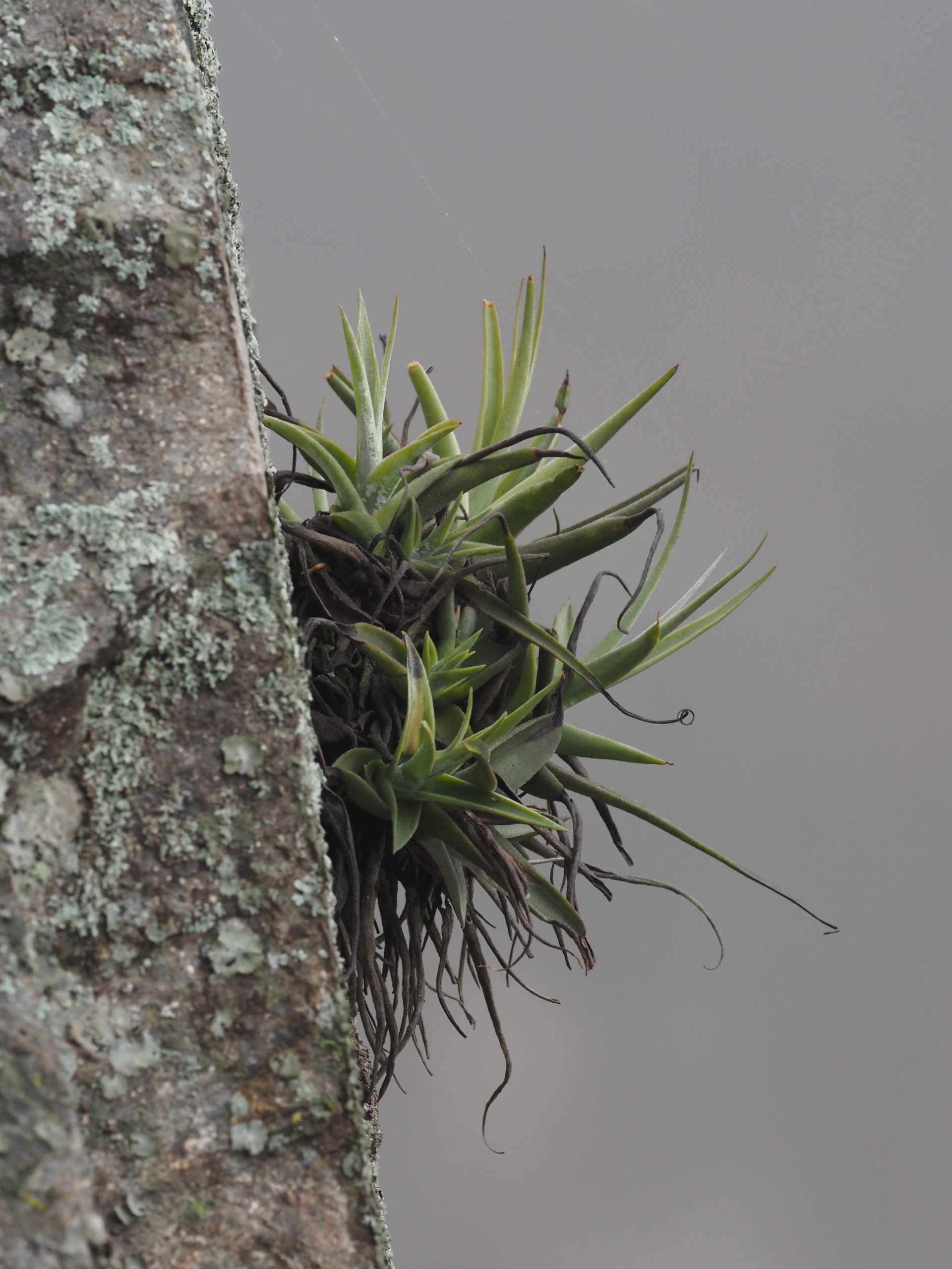
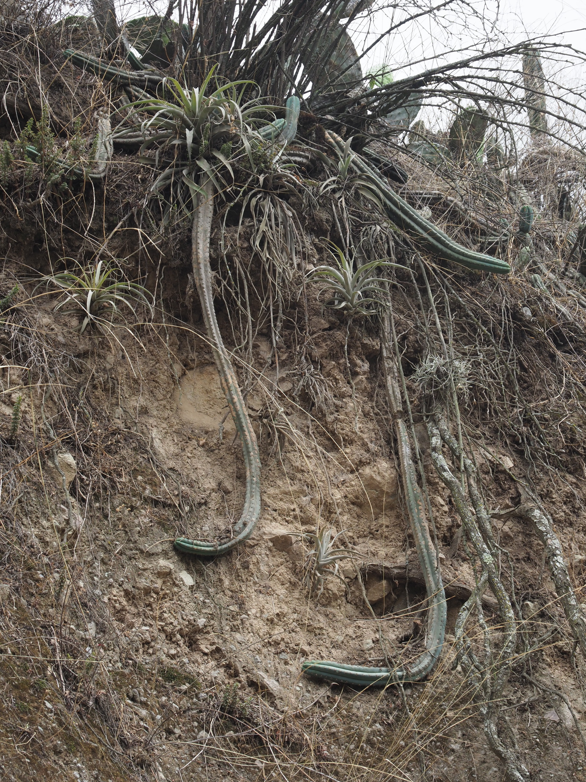
Within the moister landscapes we found bromeliads, mostly of the genus Tillandsia. The bromeliad observations we made for iNaturalist are here.


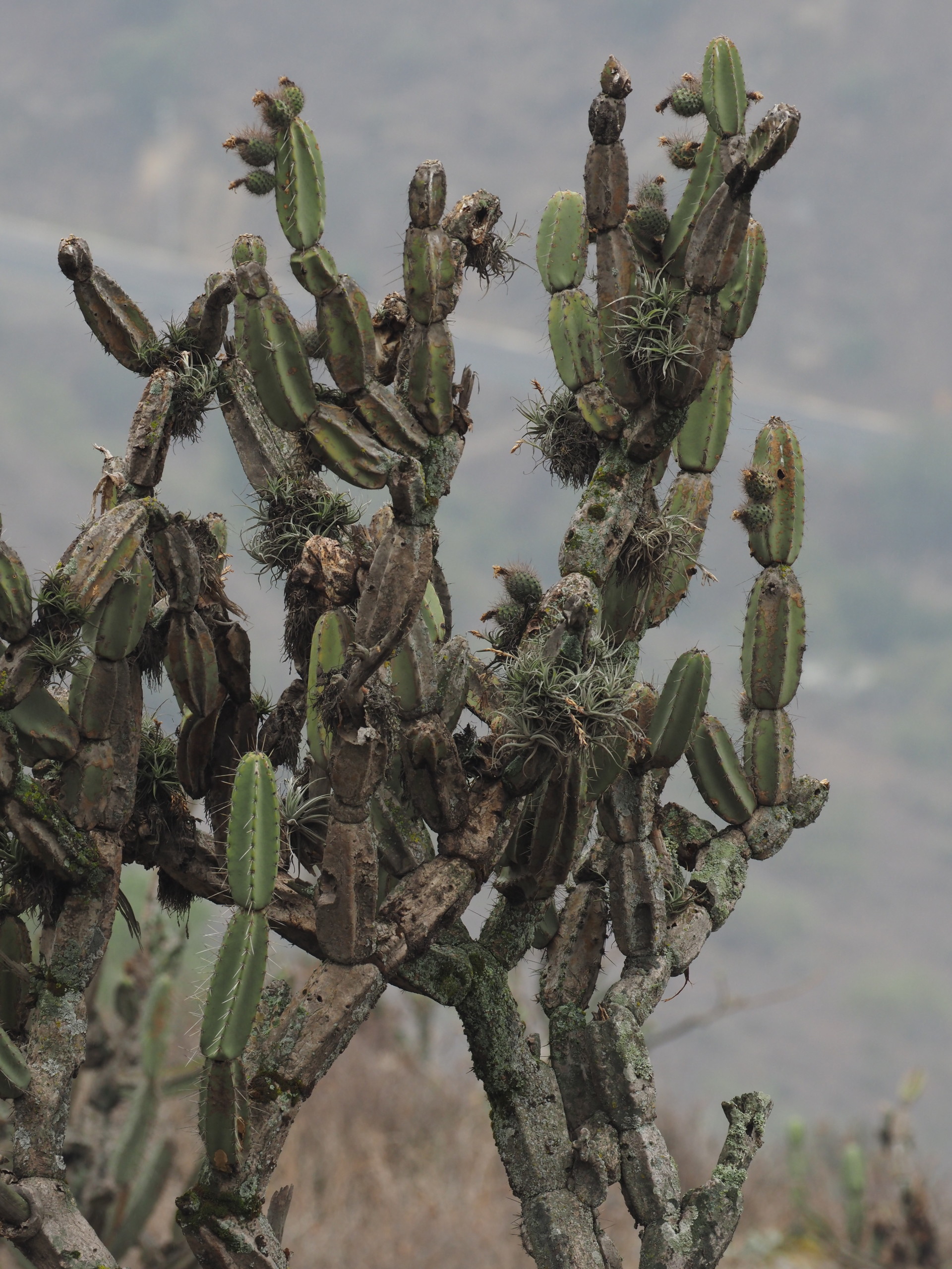
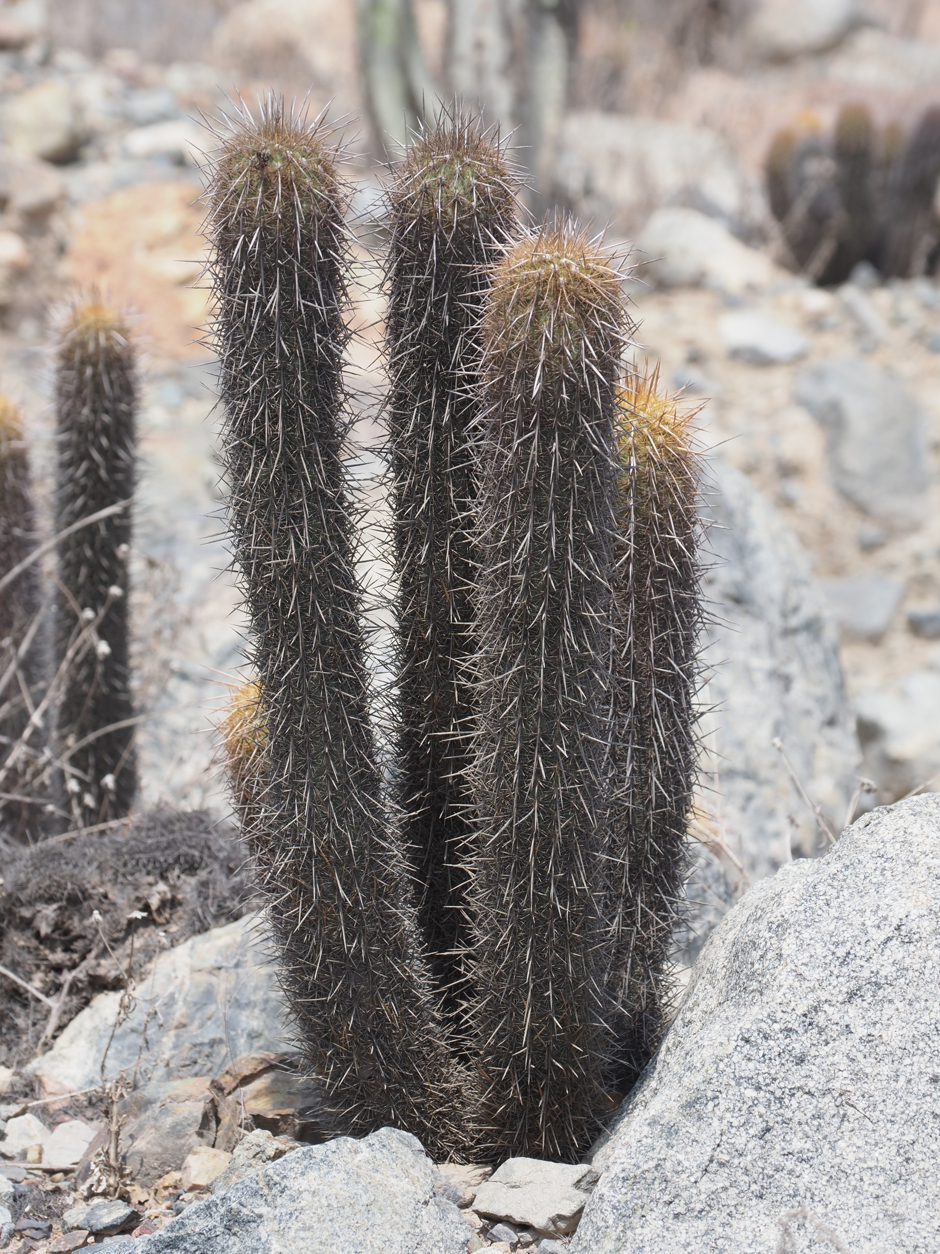
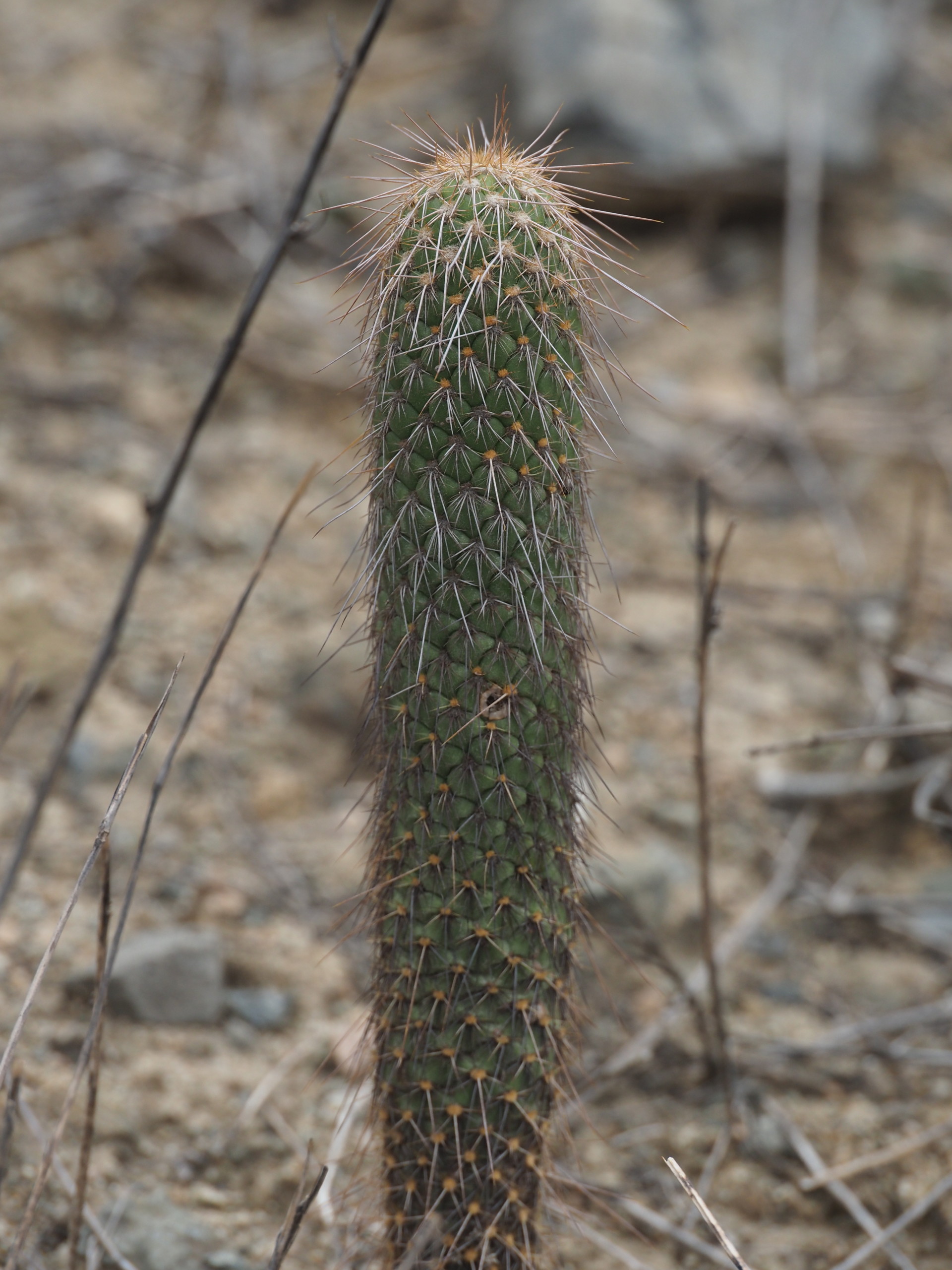
The cacti we saw and photographed for iNaturalist can be seen here. A selection of some of the cacti seen along the route are shown below.


Miscellaneous plants and lichens
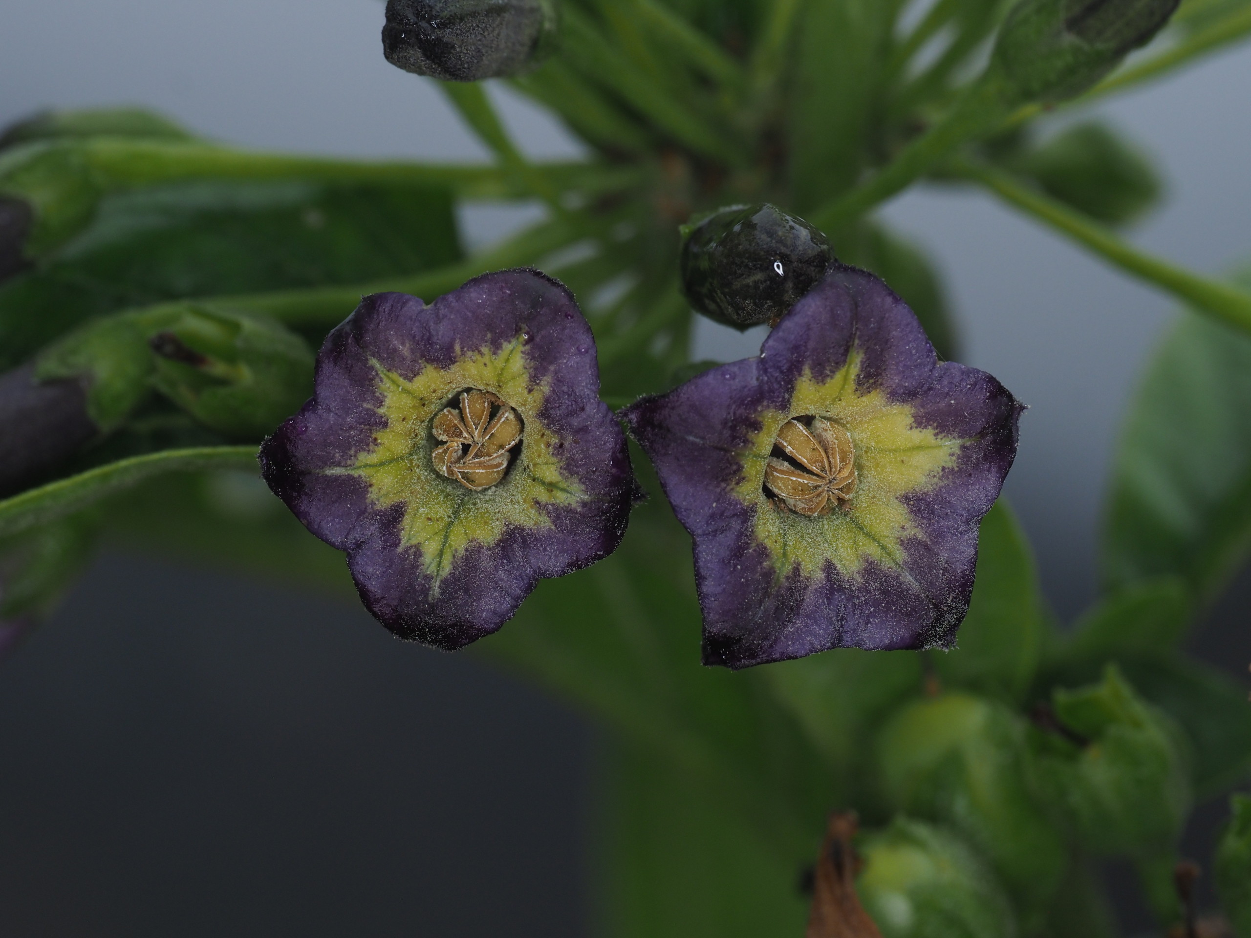
Some plants could be identifies with the aid of iNaturalist but many haven’t yet been identified. All of our iNaturalist observations on our tour can be seen here.


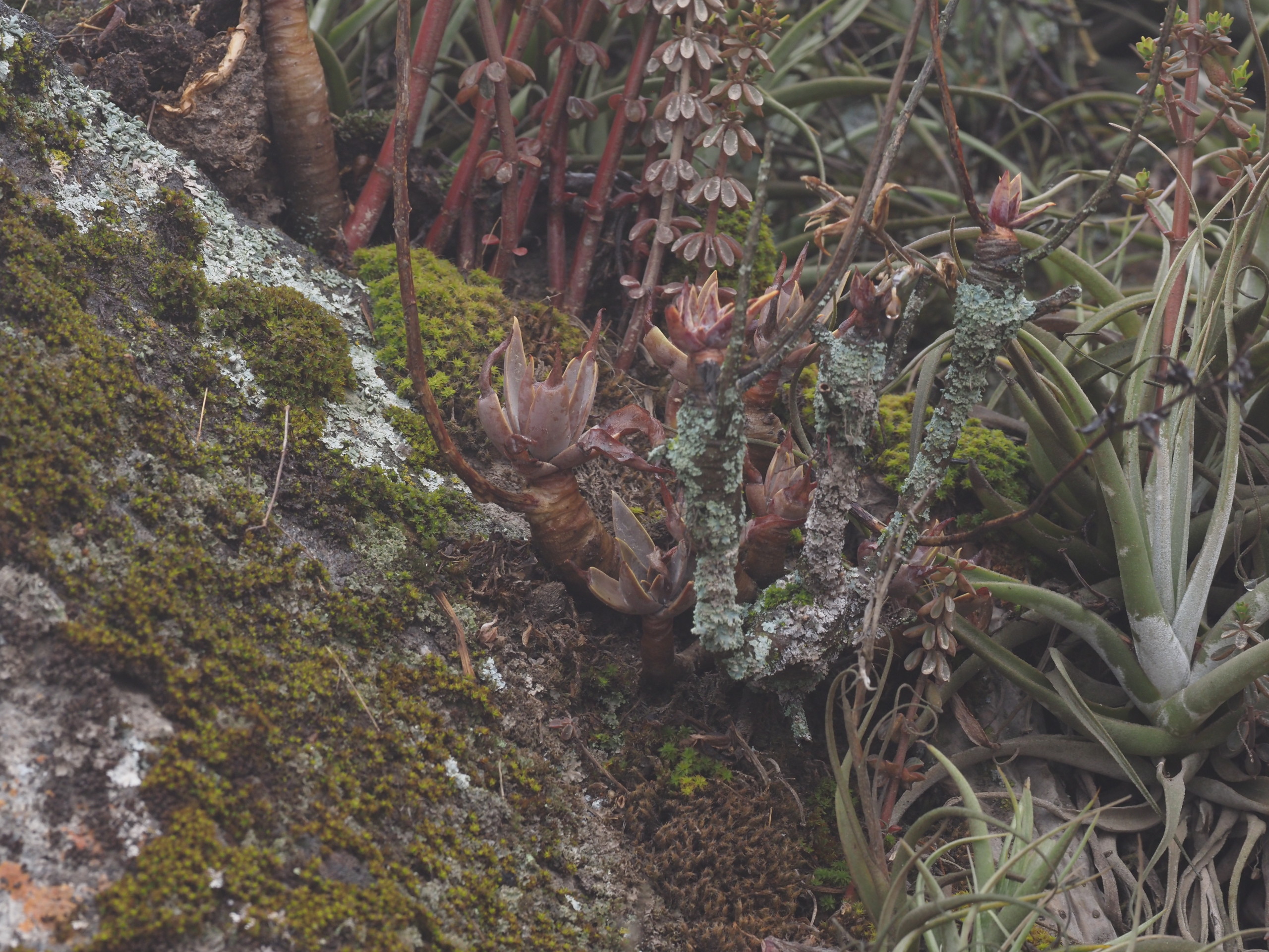
Succulent Peperomias and an Echeveria were common on the higher slopes:


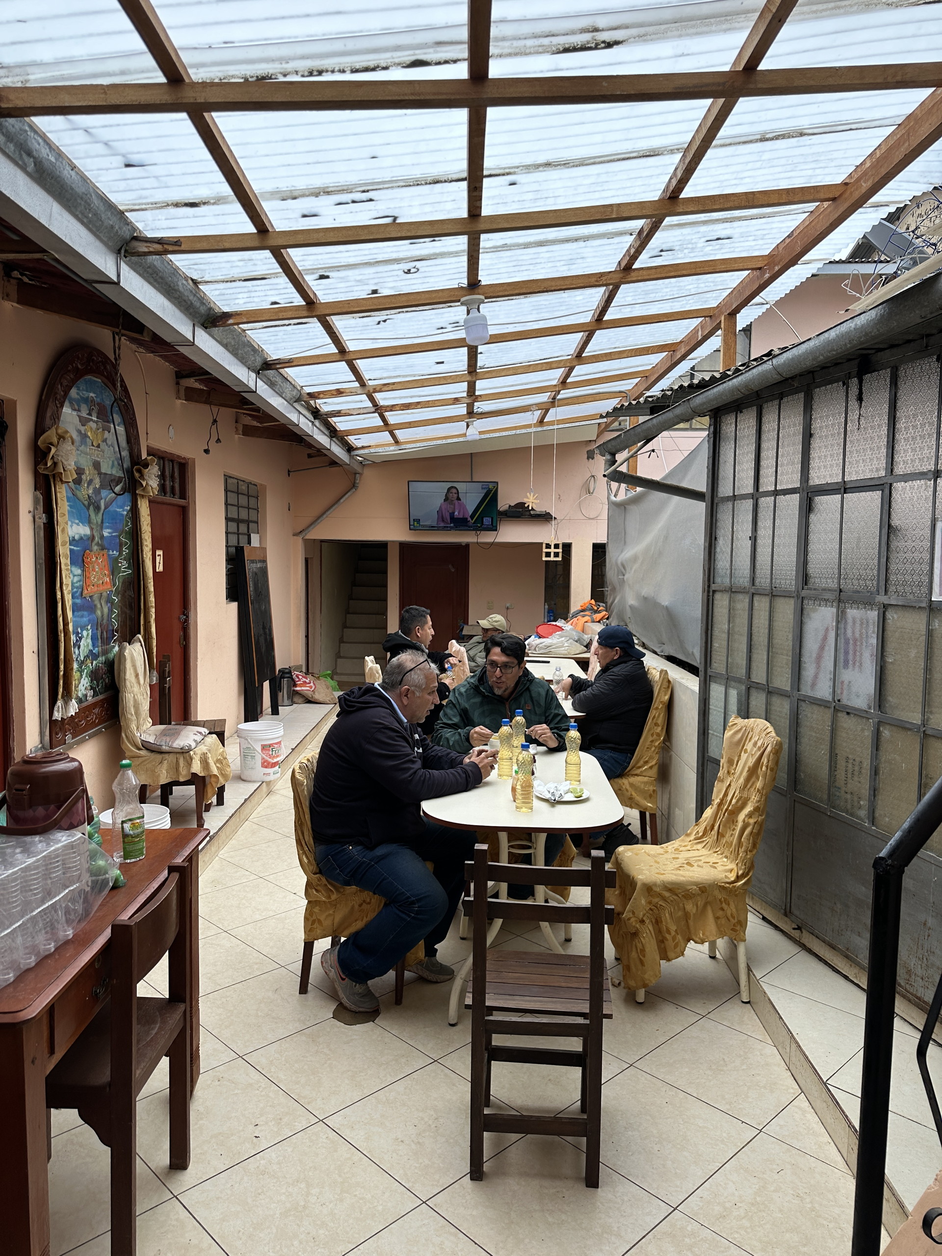
Cityscapes and other cultural aspects