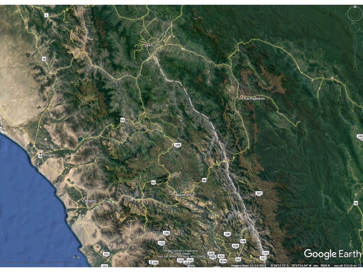
A Google Earth visible imagery depiction of the same area as in the previous two images. The Rio Marañon is depicted in all of the images by the dashed curve.
Educational site for naturalists who travel
A Google Earth visible imagery depiction of the same area as in the previous two images. The Rio Marañon is depicted in all of the images by the dashed curve.
