THE NATURALIST'S TRAVEL PAGE

Educational site for naturalists who travel

Skip to content
  • About this site
  • About Us
  • TRAVEL
  • PRESENTATIONS
  • PHOTOGRAPHY
  • ASTRONOMY
  • METEOROLOGY
  • OUTREACH
  • UPDATES
  • CONTACT

Slide6

← Previous
Next →

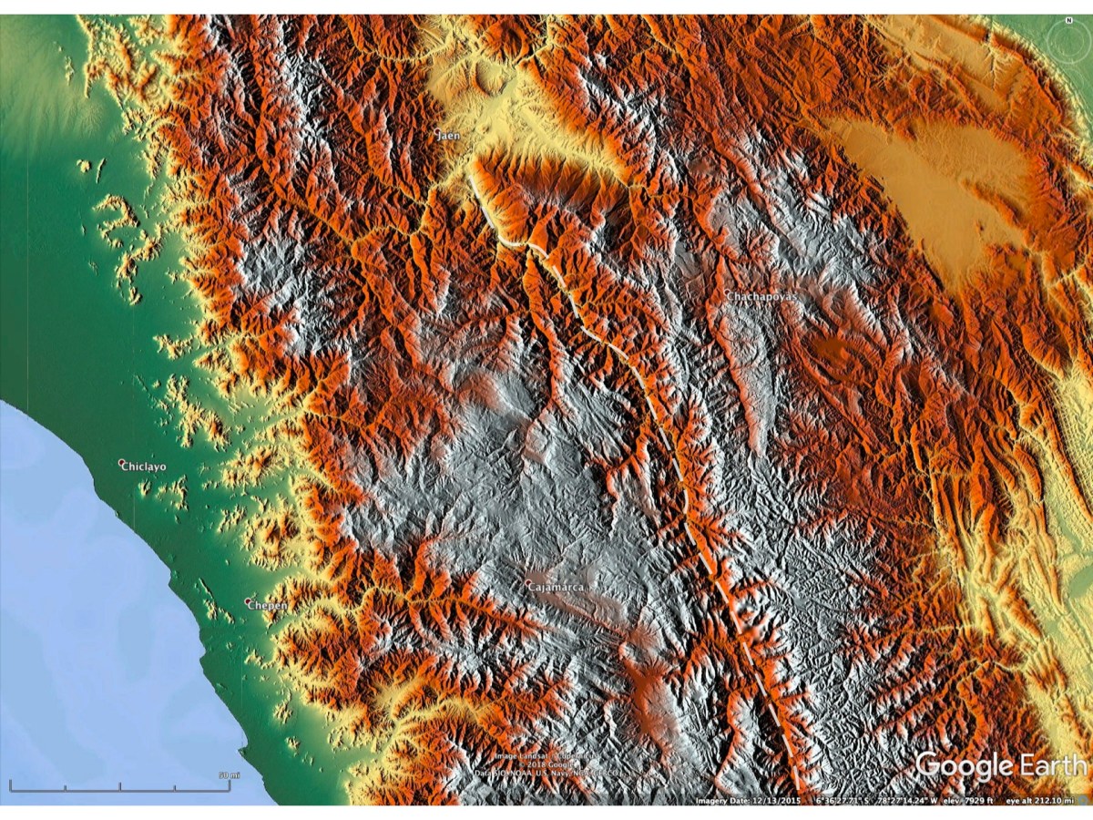
shaded relief depiction from Google Earth of terrain around the Marañon River canyon. The canyon is indicated by the dashed curve. It extends off the image to the south

Like Loading...
Published November 25, 2019 at 1680 × 1260 in Visit to the Canyon of the Rio Marañon (July 28th – August 1st 2019)
Both comments and trackbacks are currently closed.

Blog at WordPress.com.

  • Subscribe Subscribed
    • THE NATURALIST'S TRAVEL PAGE
    • Already have a WordPress.com account? Log in now.
    • THE NATURALIST'S TRAVEL PAGE
    • Subscribe Subscribed
    • Sign up
    • Log in
    • Copy shortlink
    • Report this content
    • View post in Reader
    • Manage subscriptions
    • Collapse this bar
%d