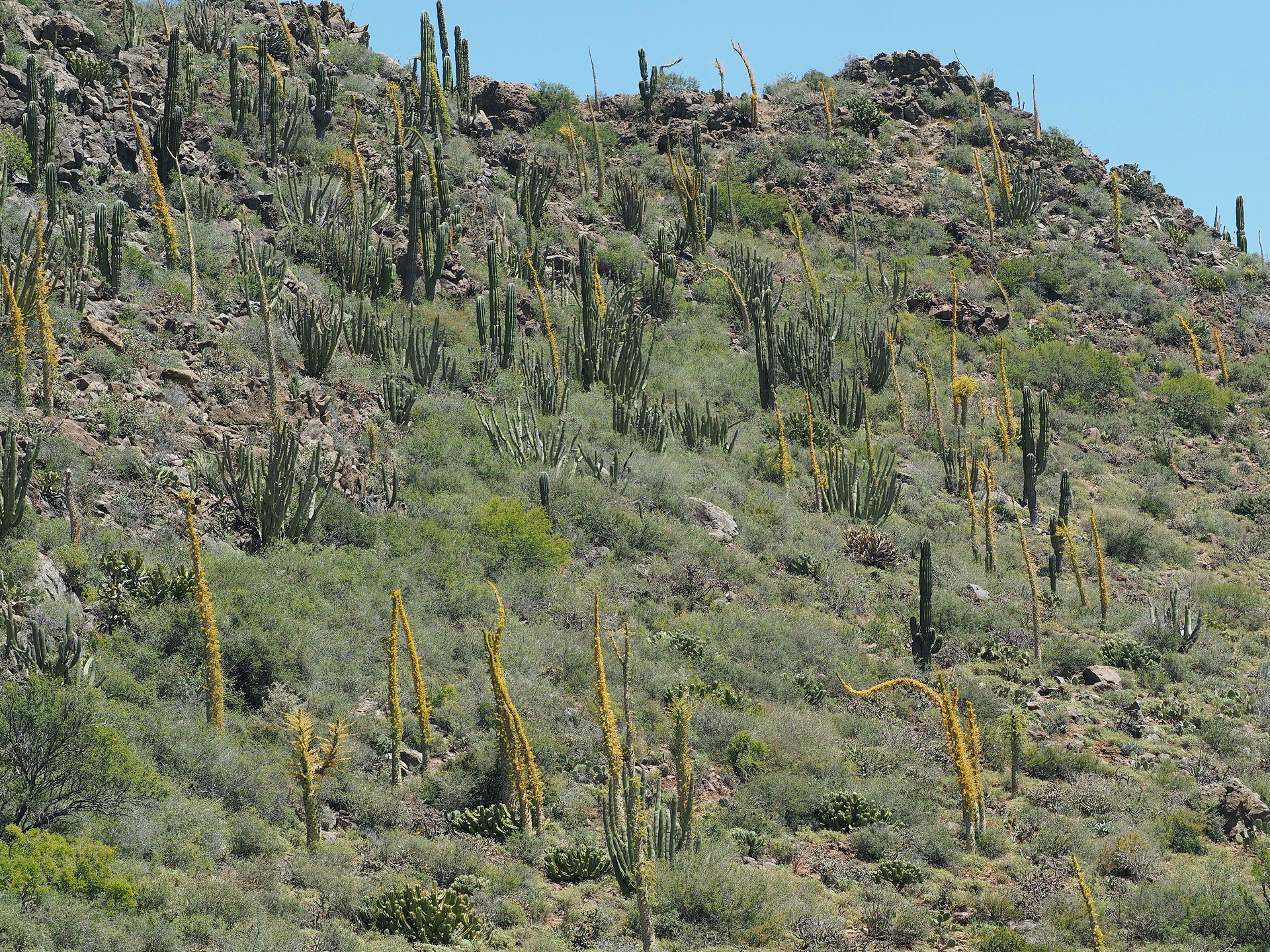
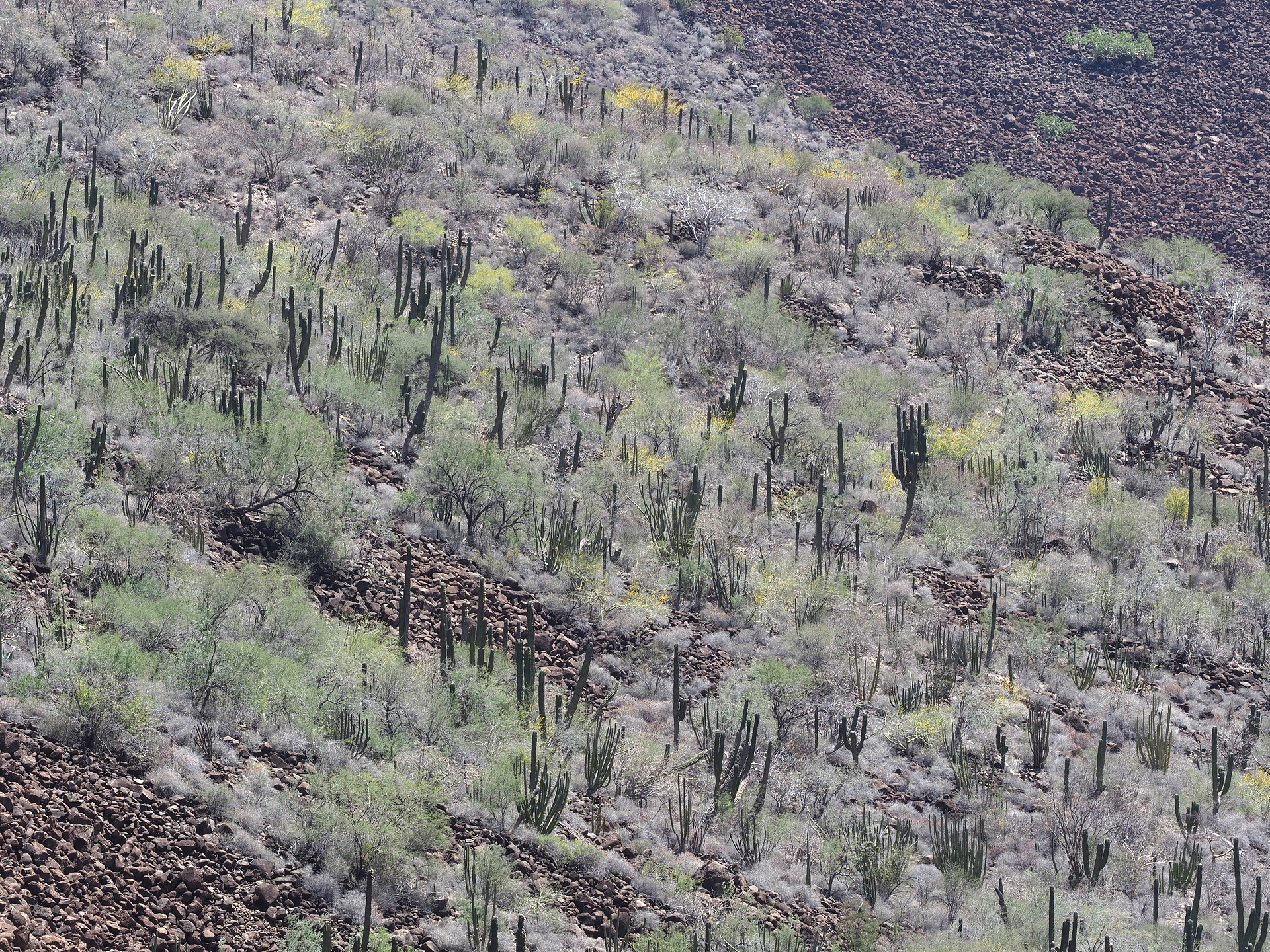
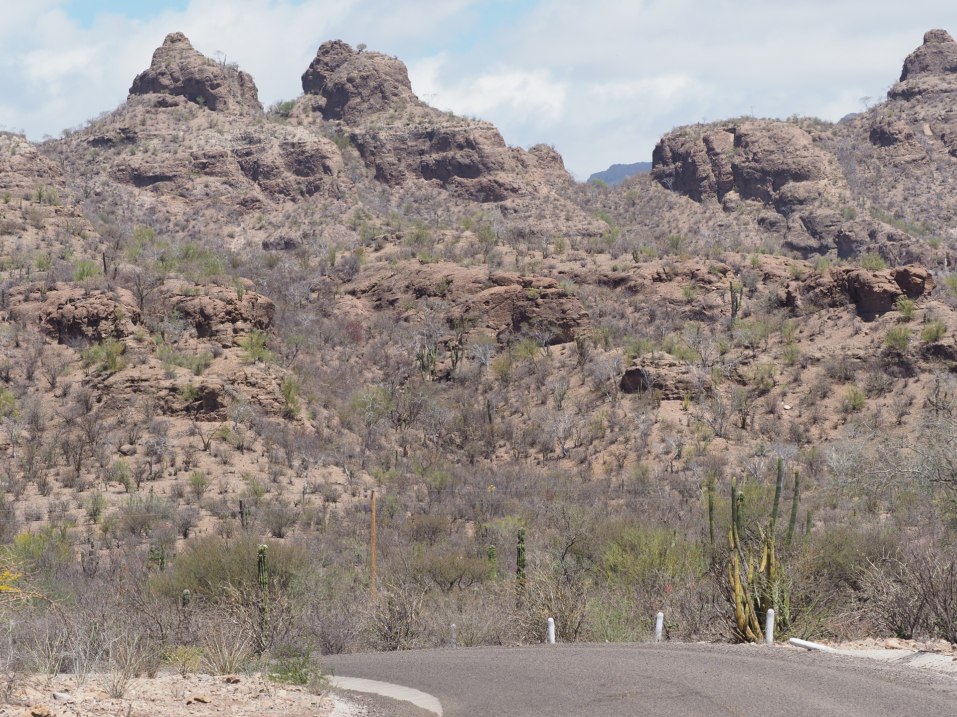
The Sierra de la Giganta, also commonly shortened to “Sierra Giganta” (they actually don’t mean the same thing in Spanish), is the general name given to the mountains that form the backbone of southern and central Baja California. They run from south of Cataviña to near La Paz, though the name is sometimes just used for mountains around Loreto and southward. It is actually not a continuous mountain range, but displays areas of higher terrain (associated with old volcanic features) and lower elevation passes. In essence it divides the cooler, moister Pacific Ocean-affected areas of Baja California from the hotter and drier parts that border the Gulf of California.


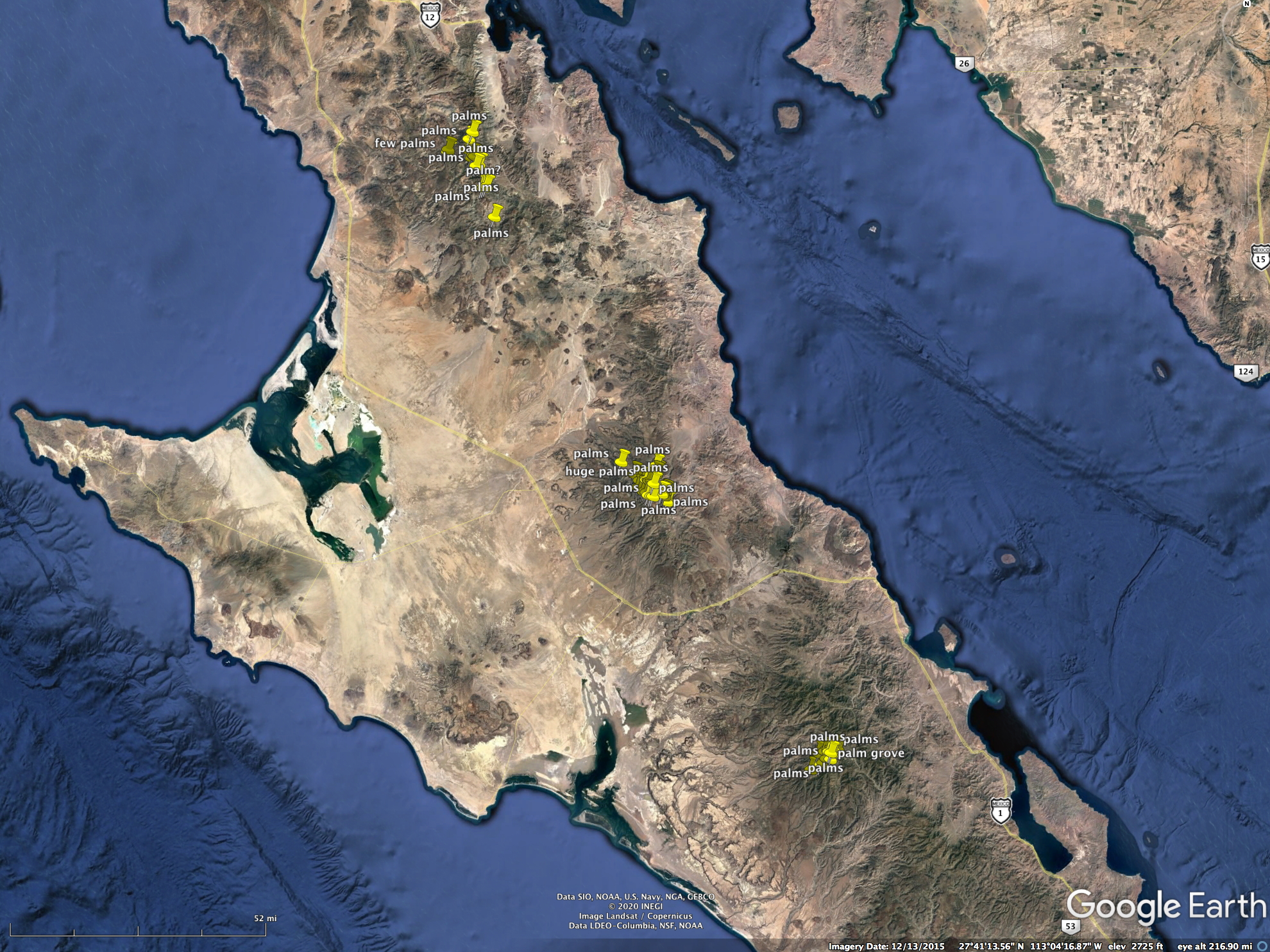
The main north-south Baja Highway cuts across the Sierra Giganta in two places – near San Ignacio and between Loreto and the Magdalena Plain. However, there are some newer paved roads that allow some access to higher terrain in several places. Unfortunately (or fortunately for nature conservation) no roads access the interesting high terrain above 4000 ft where there are some endemic (or northern affinity) plants associated with the cooler and slightly wetter environments. There are also some large palm oases in canyons on the western slopes of the Sierra that are inaccessible except to dedicated hikers. Or Google Earth explorers like us.
The paved road that climbs highest, south of the road to the observatory in northern Baja California, is the side road towards the Sierra San Francisco where there is a small community where there are nearby pinturas rupestres. The road turns off Highway 1 about 30 miles west of San Ignacio and after about 20 miles reaches about 3800 ft elevation. Nearby the highest peaks are about 5000 ft and on the north-facing slopes have short trees and dense stands of Nolina beldingii.

Click on any image below to start stepping through the images – text accompanies each image.