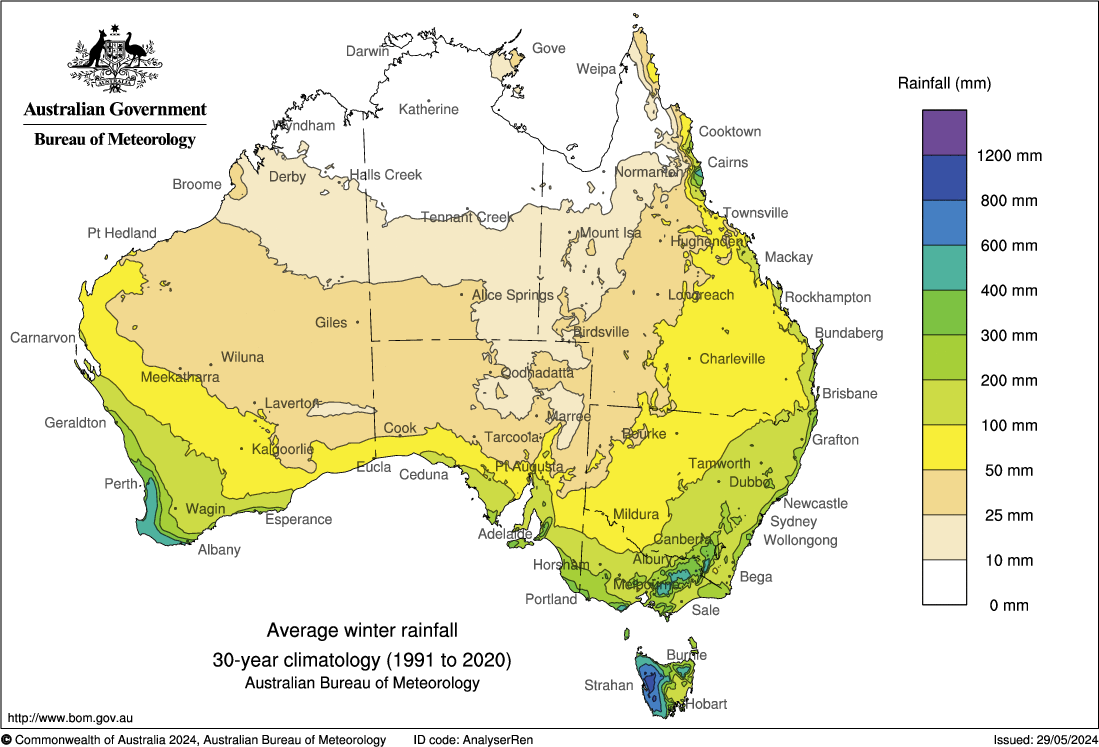
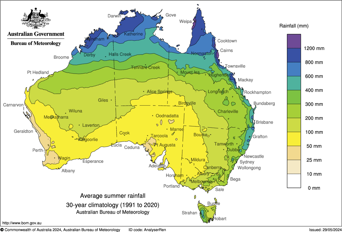
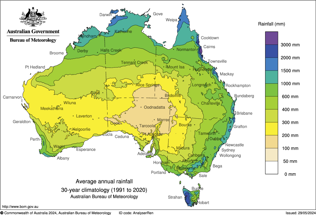
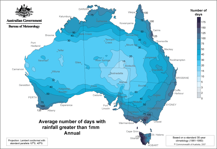
We visited southwest Australia for the second time in 2022. Our first visit, in 2016, was part of a 2-month trip to Australia where we first flew to Darwin, then Perth, and finally to Cairns. Our 2016 trip visited the SW in the October time frame – earlier and with wetter conditions. A page showing climate maps for Australia (and individual states in Australia) from the Australian Bureau of Meteorology is here. I have put some more onto a separate page of this website here. I have included some below for convenience – and for highlighting the importance of considering climate and seasonality when planning travel to Australia.
Seasonality of rainfall
The figue below shows the wet season rainfall for both northern and southern Australia. Move the slider from side-to-side to compare the rainfall during the south Australia wet season (cool time of year) with the northern Australia wet season (warm time of year). There is not much seasonality of rainfall in SE Australia compared with either the north or SW parts of Australia.
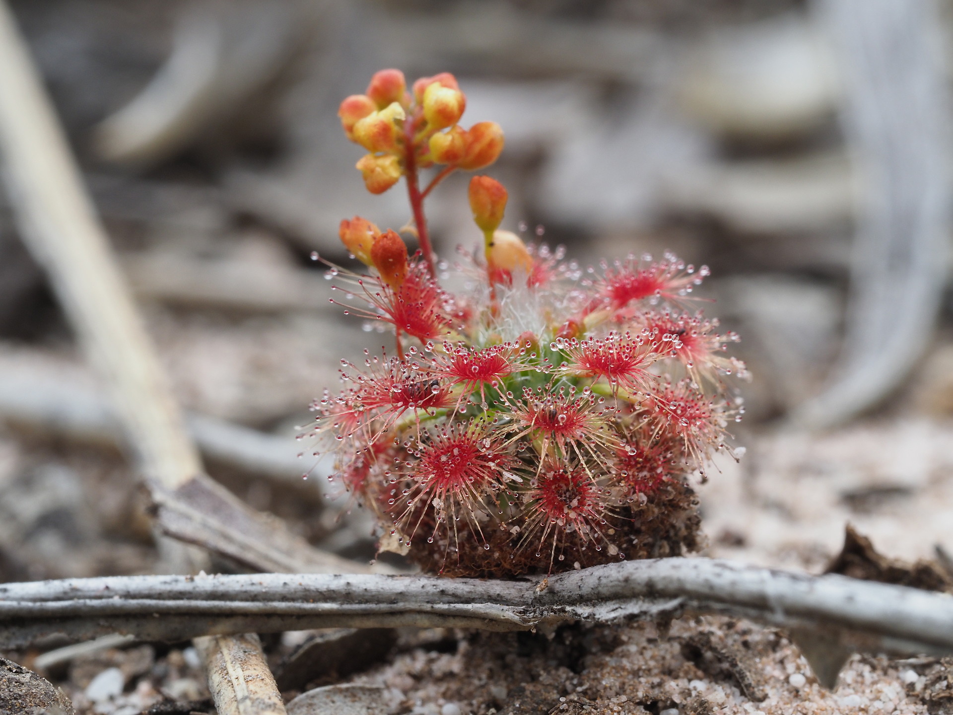
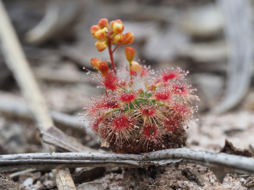
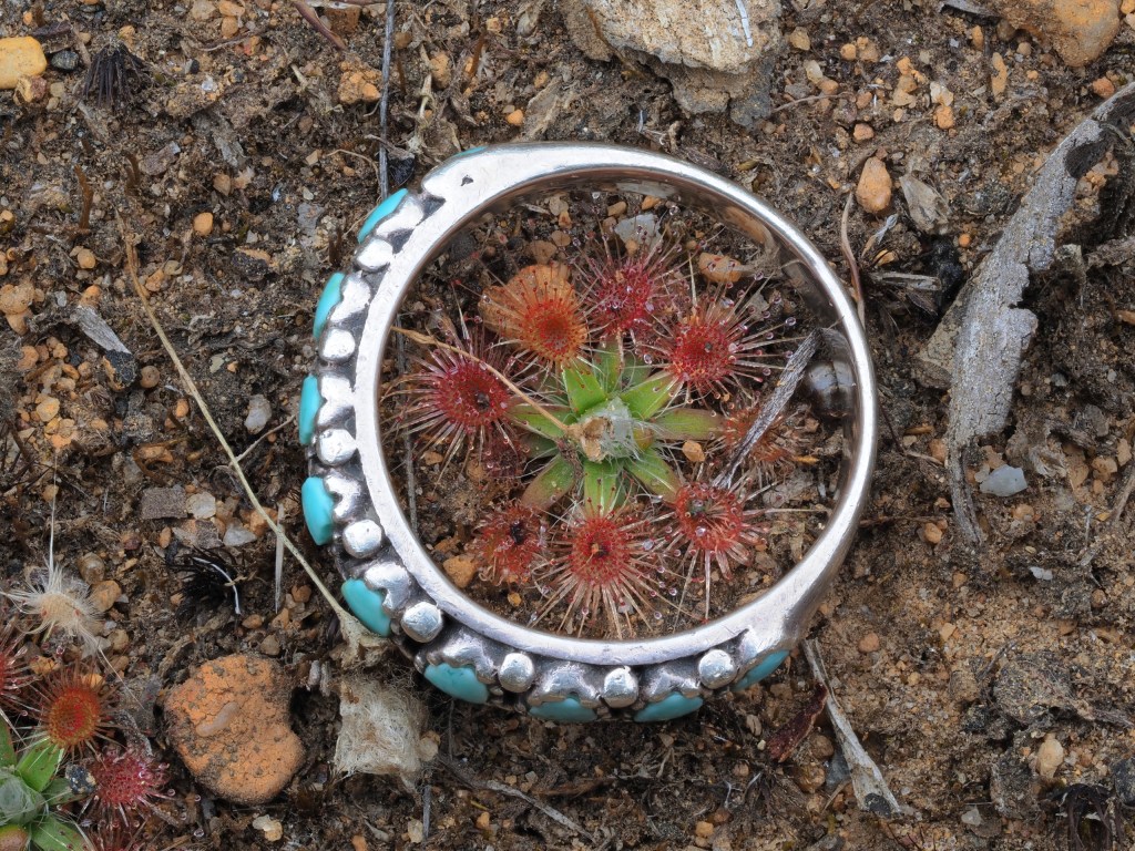
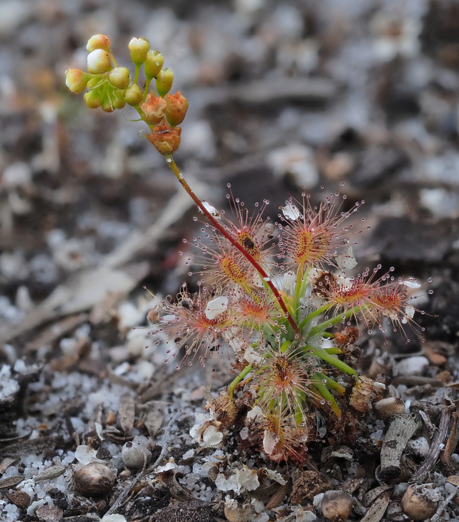
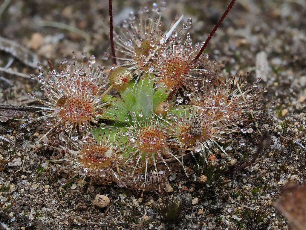
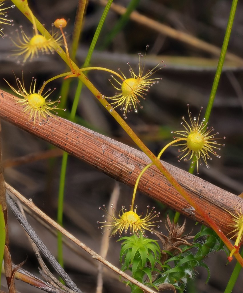
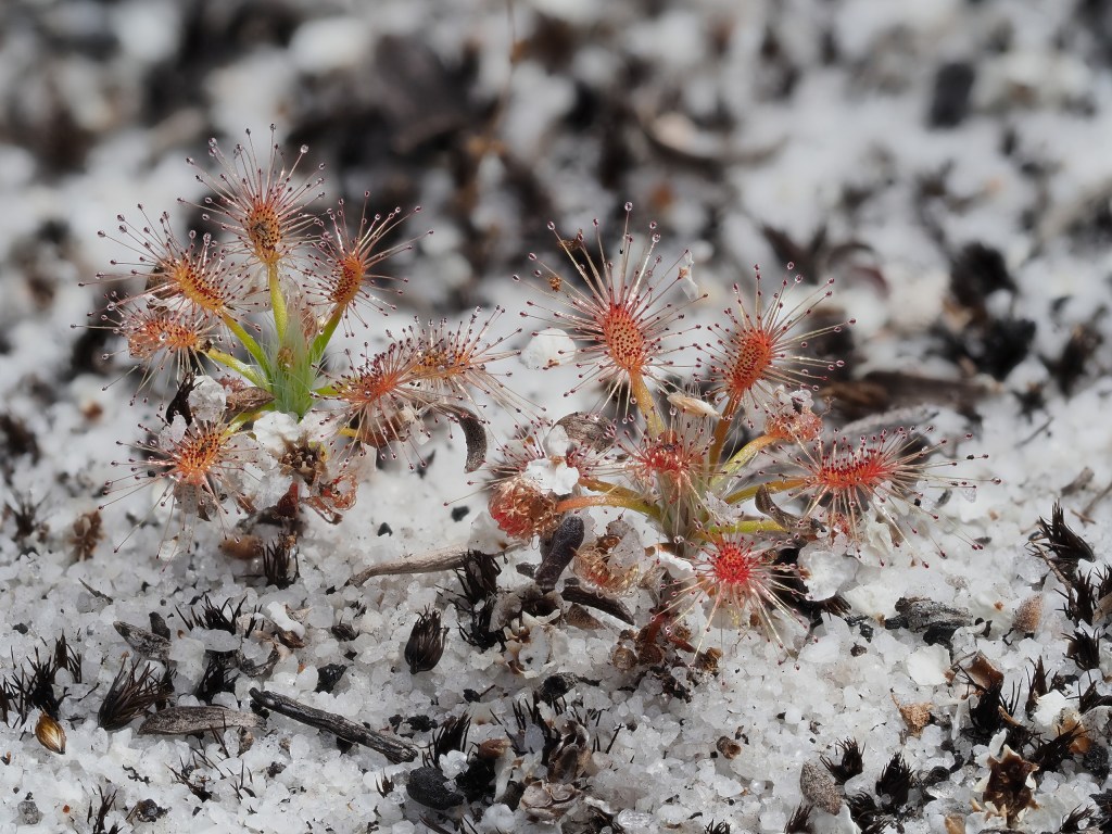
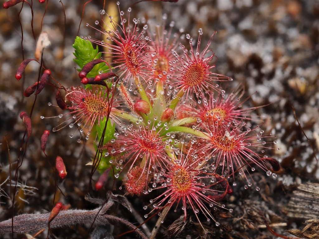
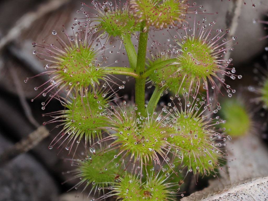
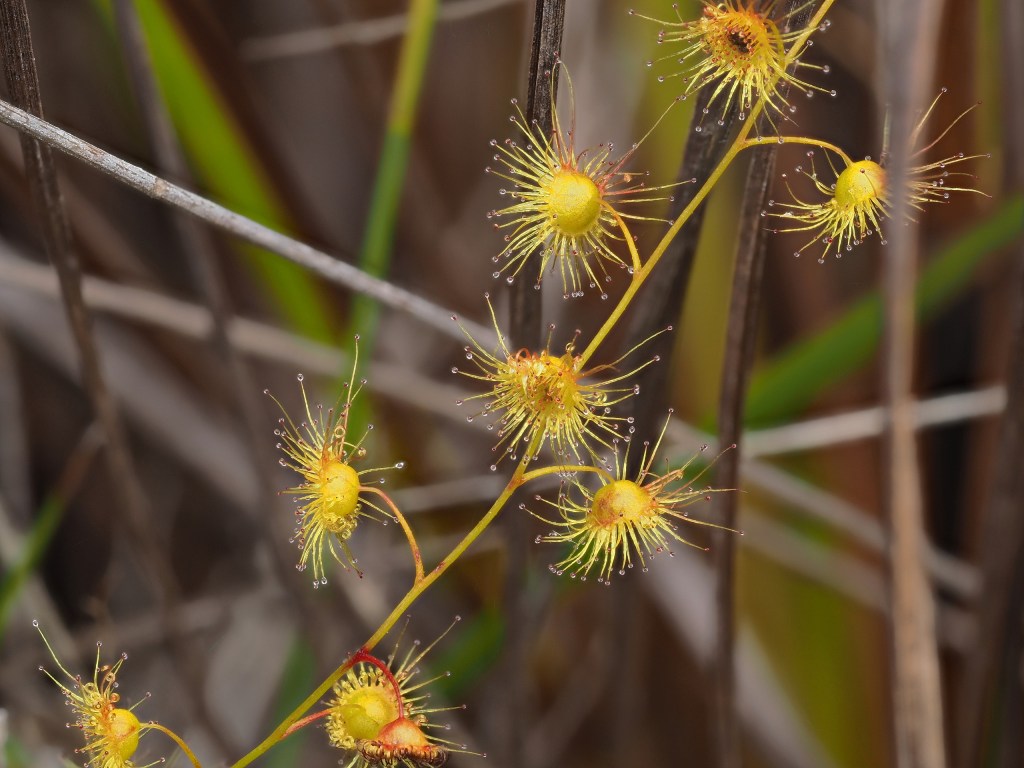
Because our visit was constrained by the arrival date of our ship to Perth, our travels were at the end of the main springtime flowering season for many plants. The most noticeable difference was the diminished evidence of small insectivorous plants – the Drosera’s (sundews) that are very diverse in this part of Australia. While we did see them, they are clearly more apparent in wetter, cooler conditions.
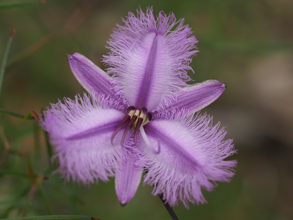
some notes: windy conditions complicated much flower photography, Droseras were much less conspicuous than on 2016 visit due to drier and warmer conditions than during our previous visit. There were also noticeably fewer flowering Proteas and other plants than our previous visit – suggesting a visit earlier in the spring is better.
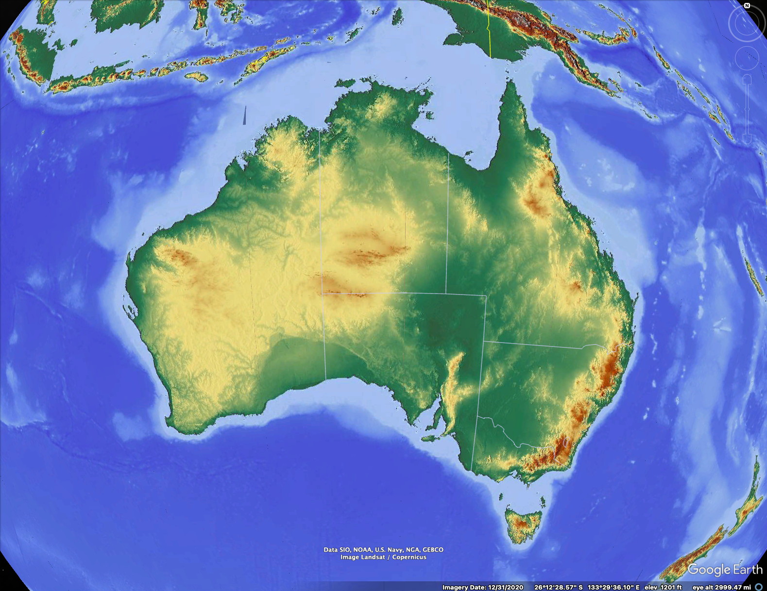
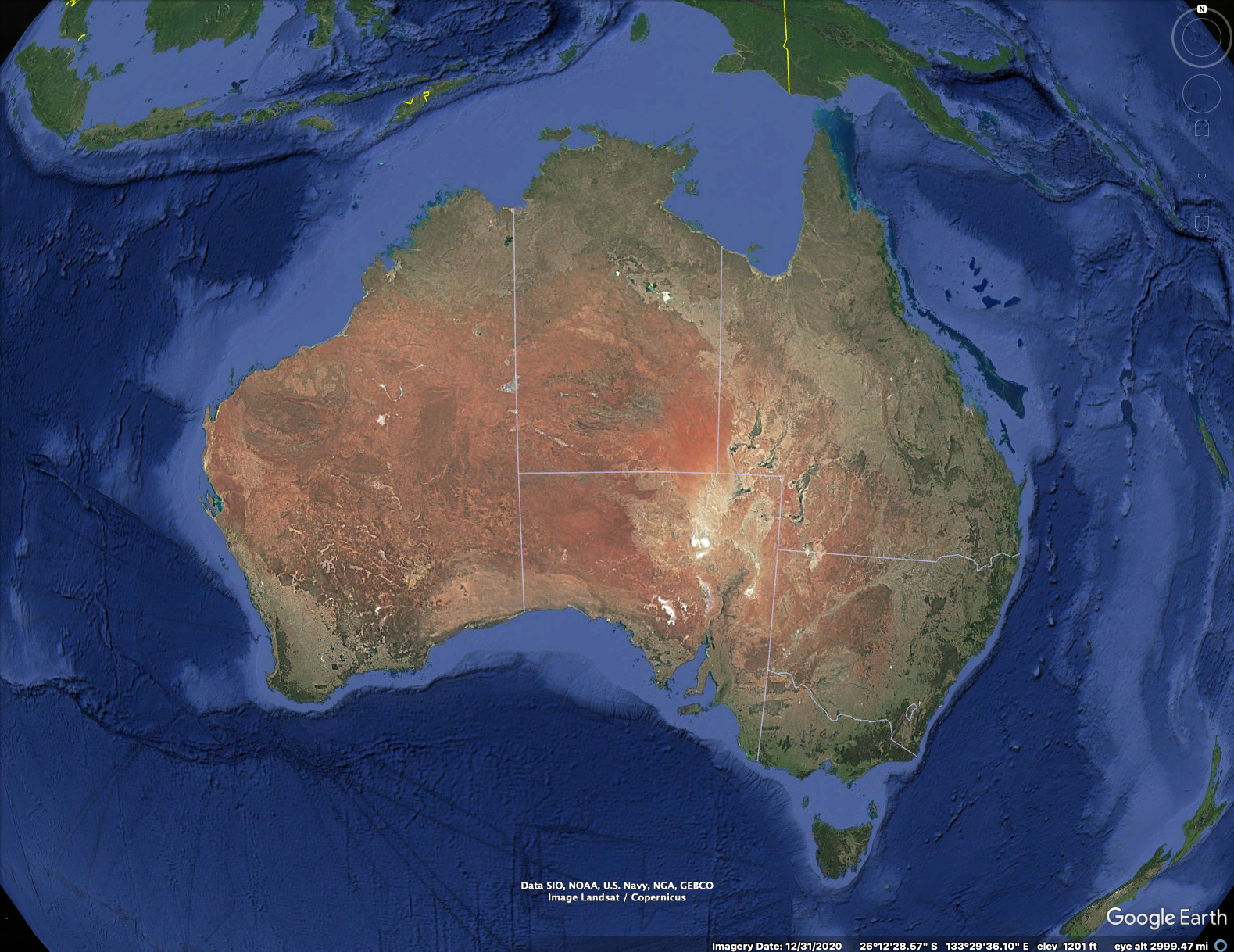
Australia has relatively low relief compared with other continents. The highest elevation, Mt Kosciuszko, is 2228 m (7310 ft) and Western Australia’s highest peak in Bluff Knoll at just over 1099m (3606 ft) elevation.
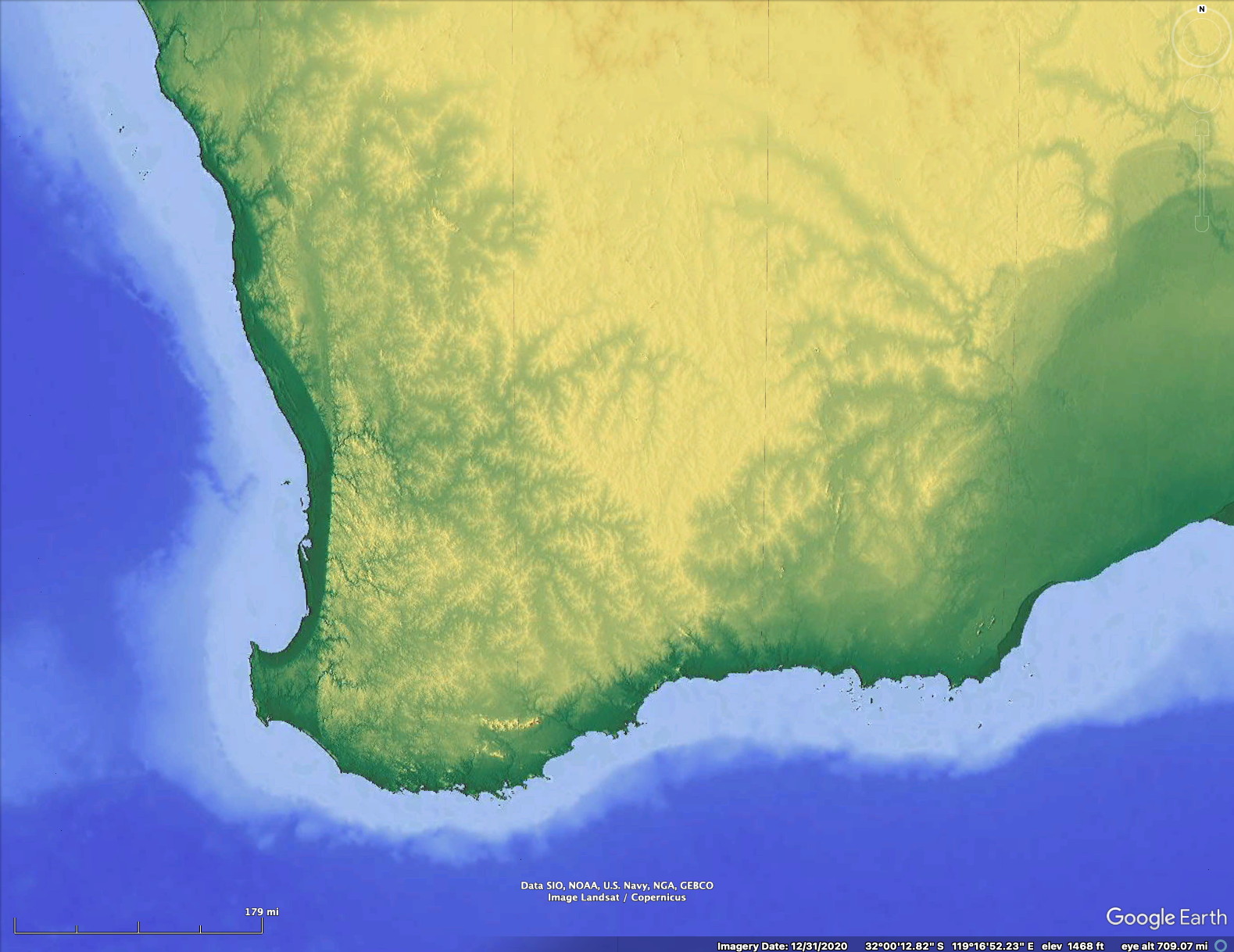
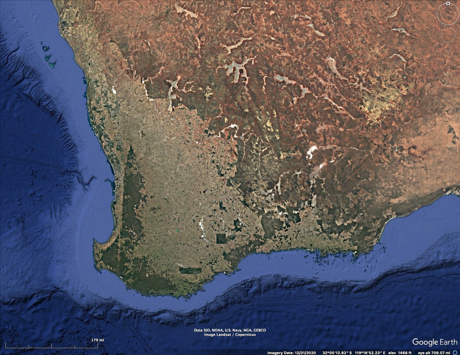
Above is a closer view of southwest Australia. Much of the land has been converted to agriculture. Dark areas are forested or at least some natural vegetation. Agricultural or cleared lands are lighter.
Overview of the route
After our 20 day cruise from Sydney to Fremantle (Perth) we left the ship and started a rental car driving vacation. The route we followed was approximately the same that we did six years earlier, staying in the small towns of Nannup, then Pemberton, then a cabin just north of Walpole, the Emu Point Motel near Albany, the Sterling Range Retreat, and finally at the Dryandra Village inside the newly designated Dryandra National Park. Our return flight was very early in the morning, necessitating a 100 mile drive in the very early morning from Dryandra to Perth.
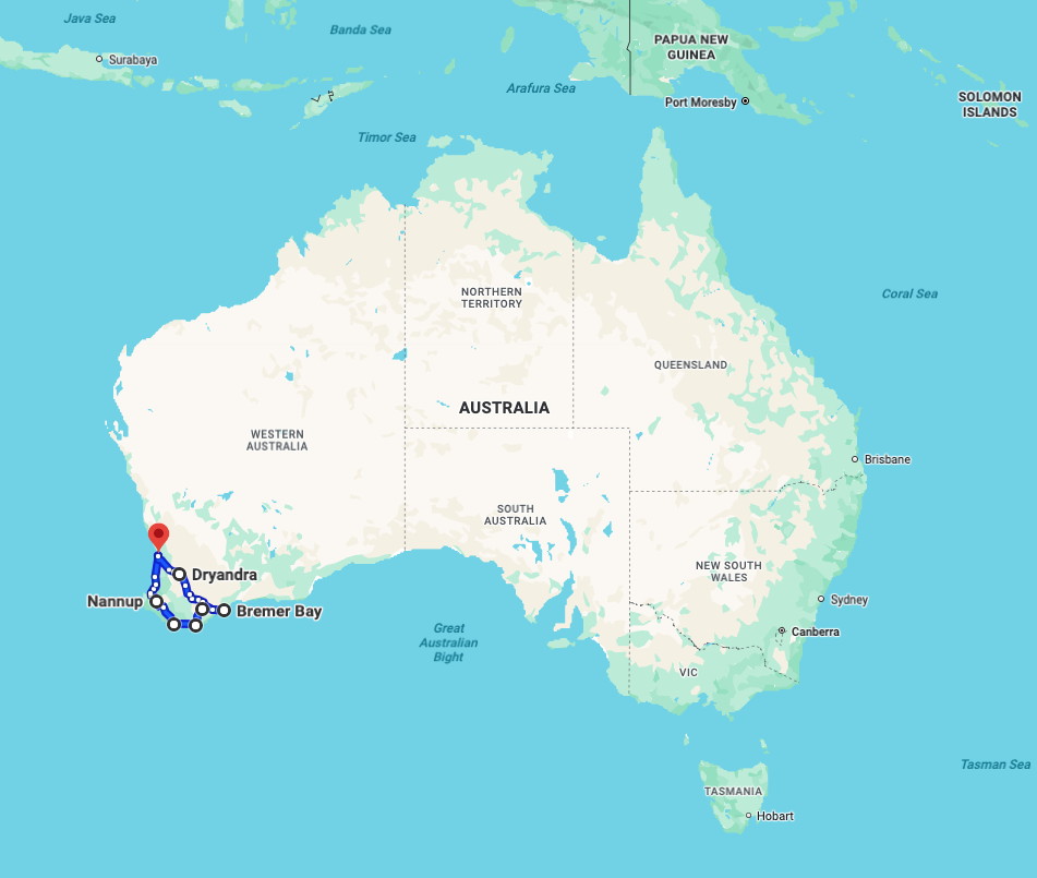
The map above shows that our travels covered only a very small part of Australia. Read on to understand why we returned to this area.
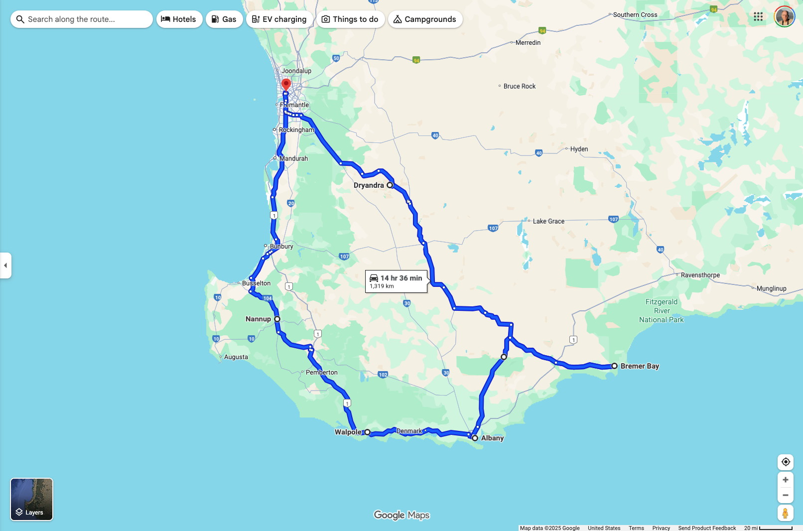
The route shown above is very approximate – it does not show many detours we took. I didn’t have a detailed recording of our route and did this recently.
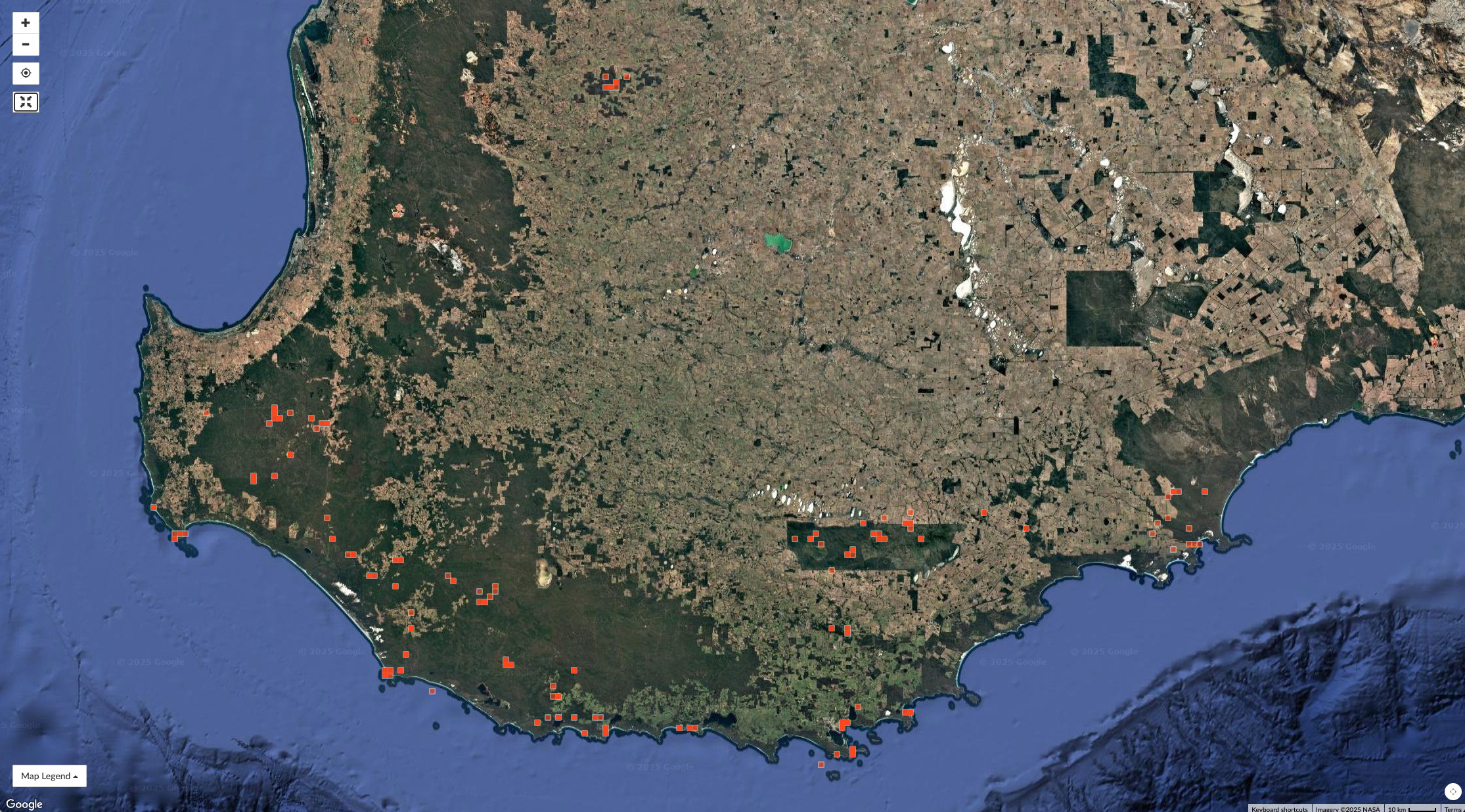
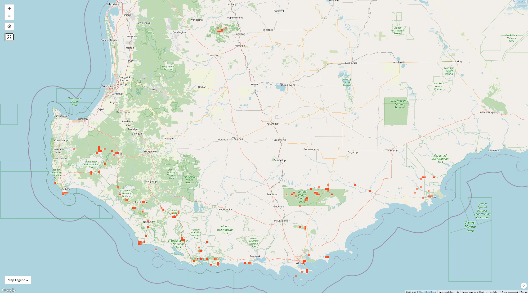
The red squares in the images above are the locations of iNaturalist observation that have been entered by Rosario to date (more will come). They give an idea of where we traveled and where we made observations. Use the slide to see the satellite and map versions to help interpretation.
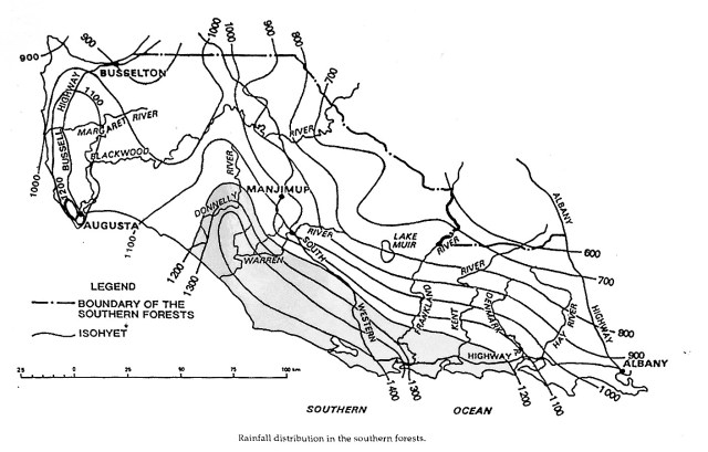
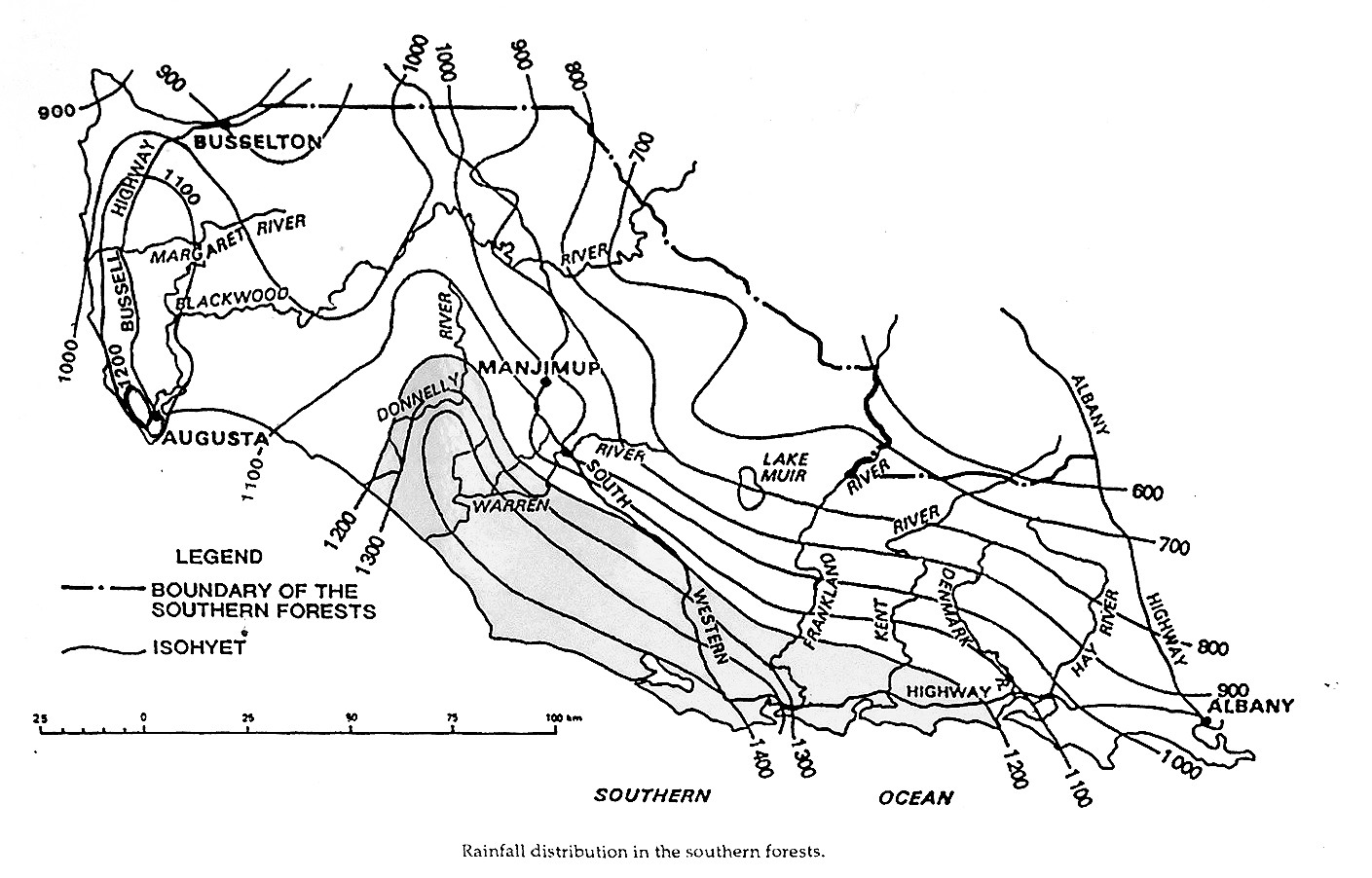
Although the topography of SW Australia is relatively mild, with the highest mountains only about 1000m, and most half this high or less, there are large variations in the mean rainfall. One of the analyses (shown below) indicates the relatively high rainfall in a narrow bands, both parallel to the south coast and along the escarpment south of Perth. A plaque, from a source we couldn’t find, showed contours of precipitation for the southwest coast area – aimed at explaining the occurrence of major species of Tingle (large Eucalypts) that have a very narrow range. A modified version of a photo we took of the plaque is shown below. The highest precip (here “precipitation” is essentially “rainfall” since snow is virtually non-existent in this part of Australia) is just inland and parallel to the coast, near the small towns of Walpole and Pemberton. Of course, without seeing the data from which this analysis was drawn I have some skepticism of these details.
Parks and nature reserve facilities
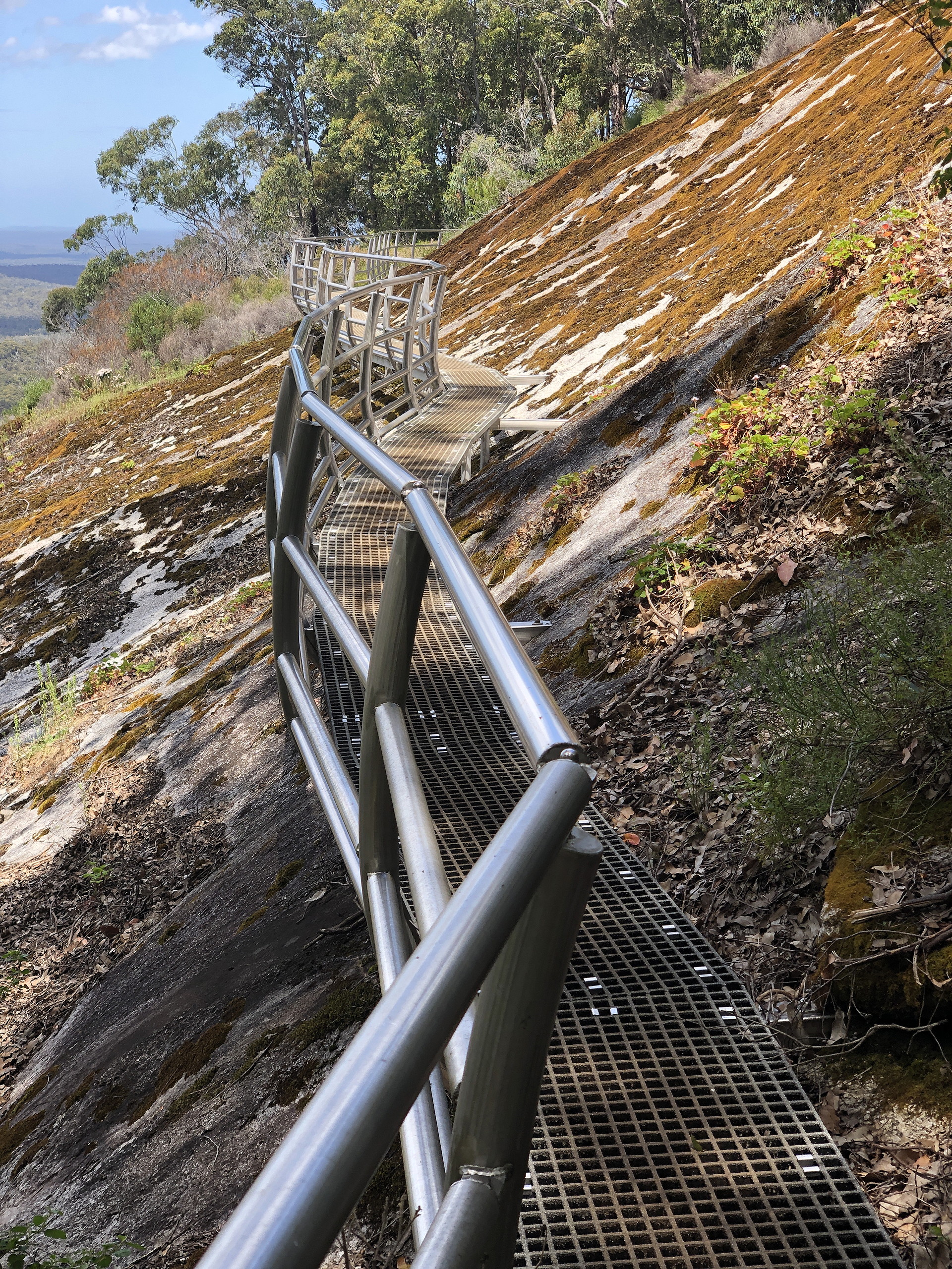
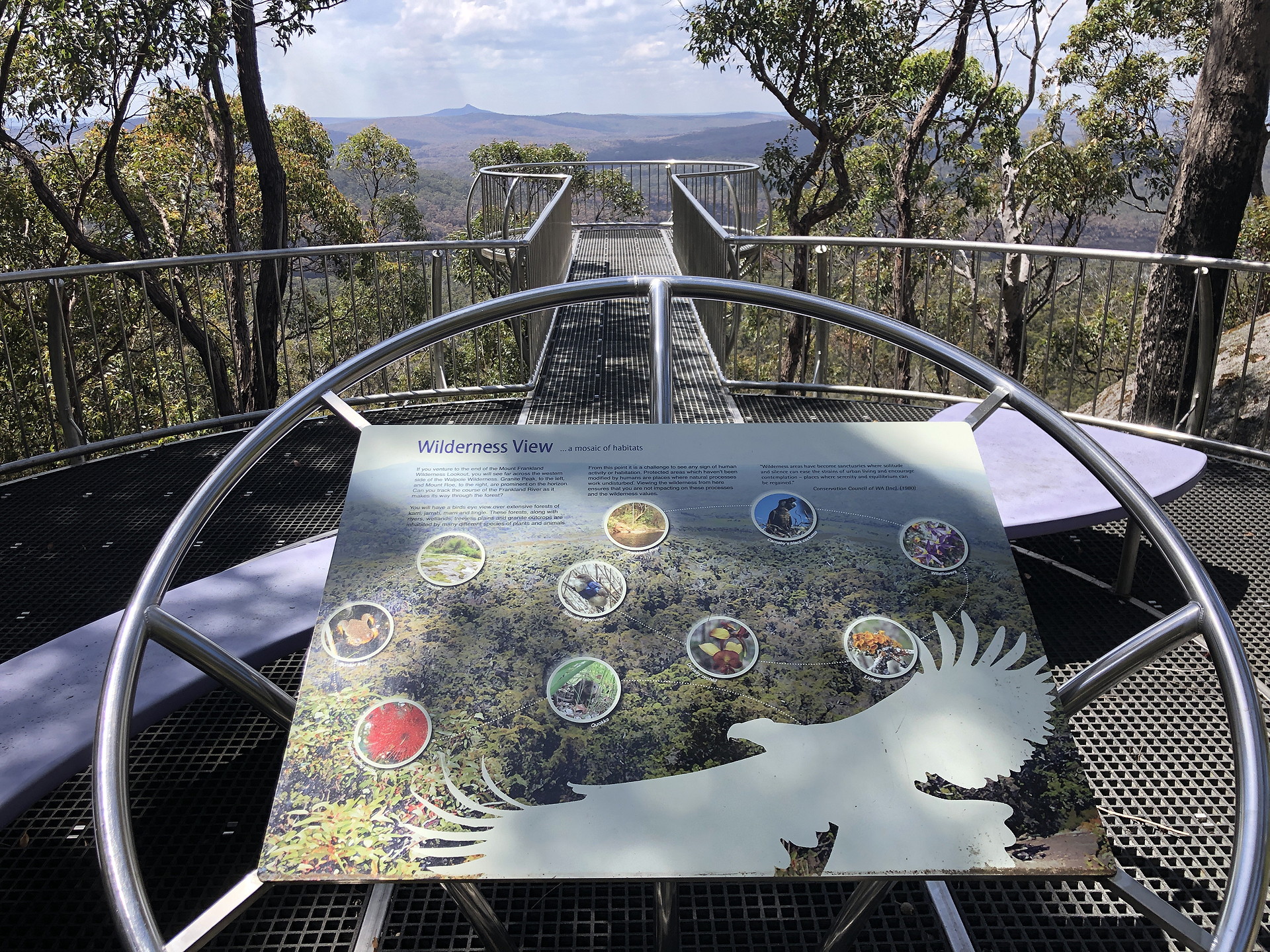
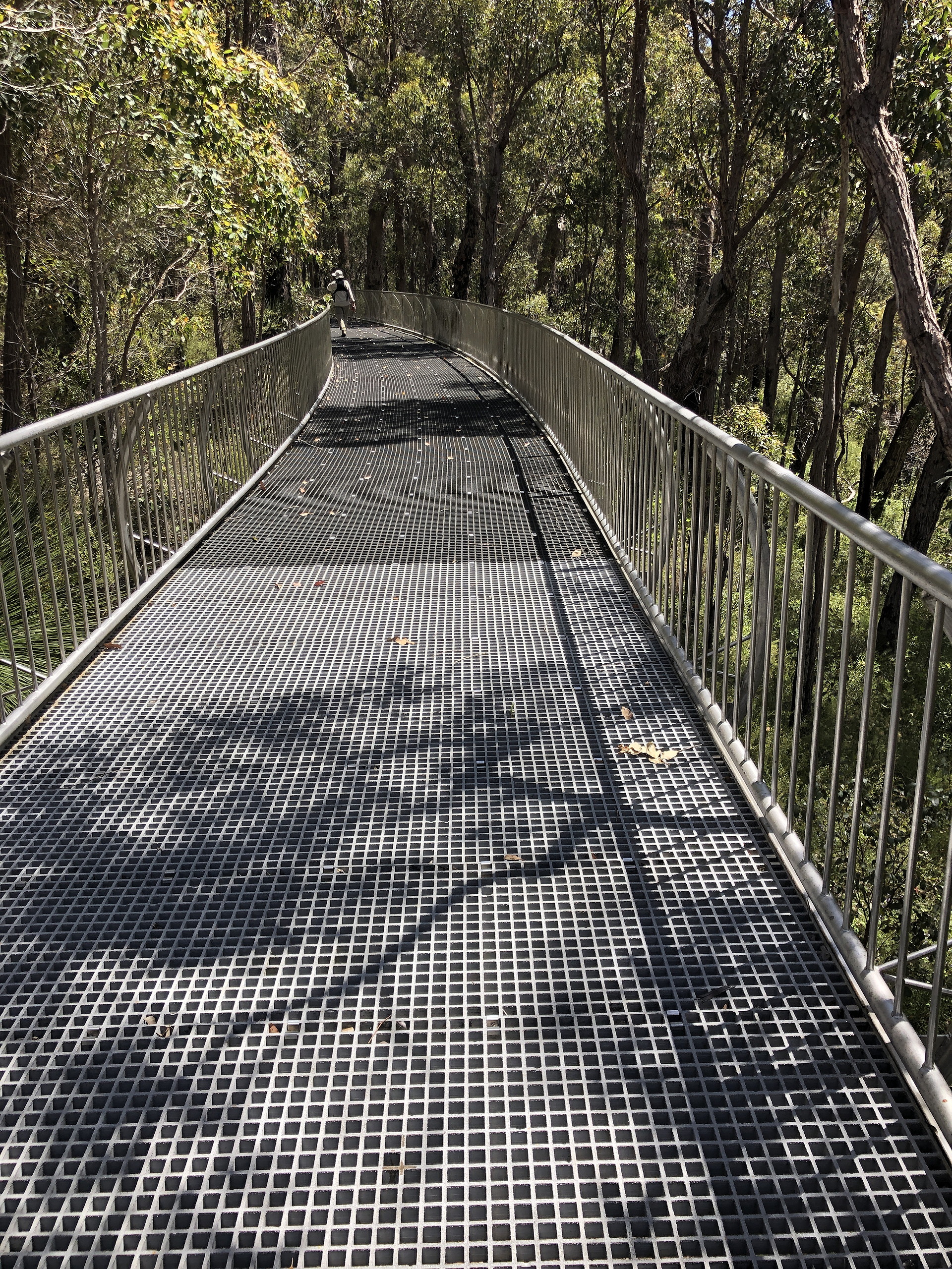
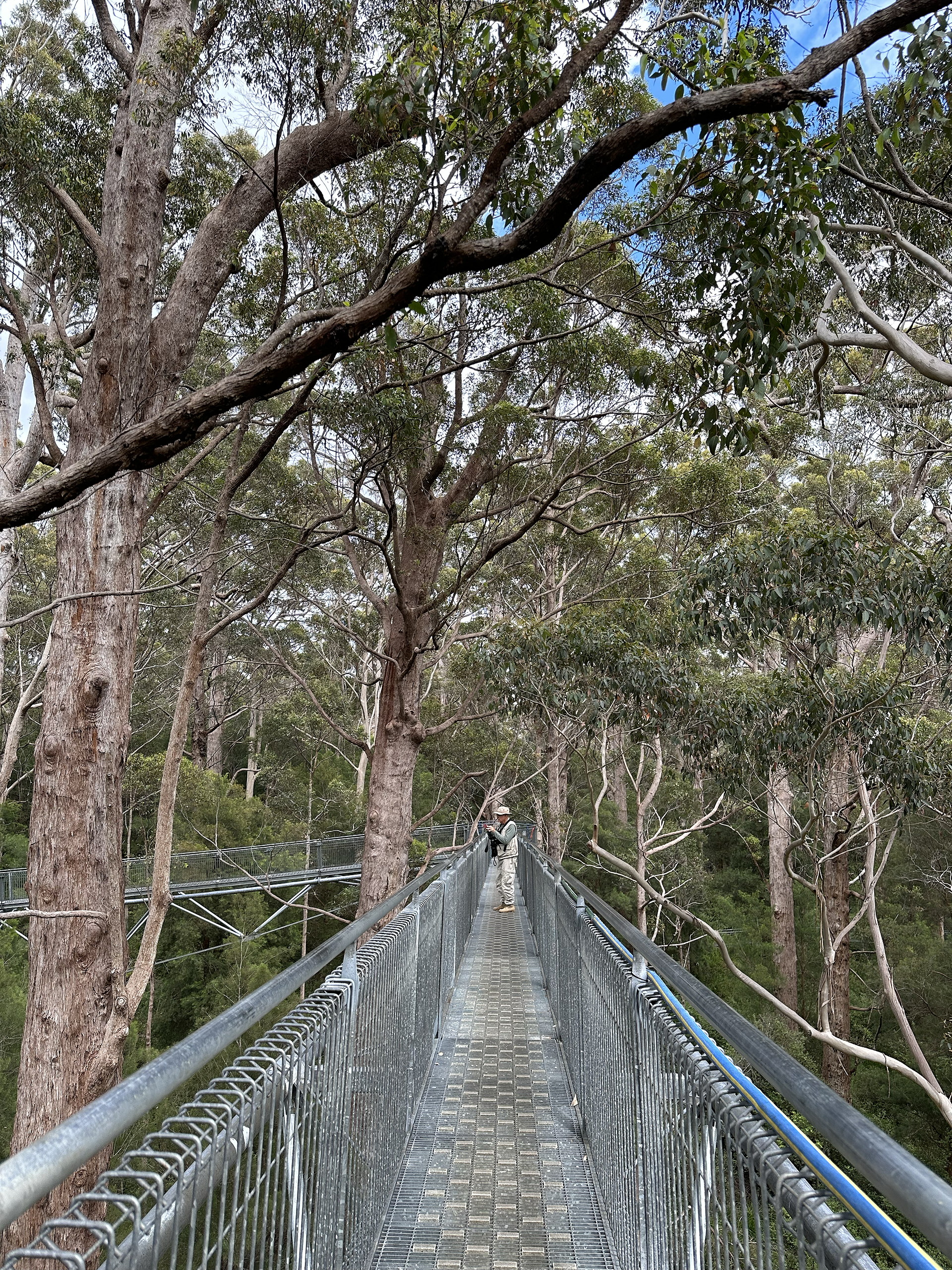
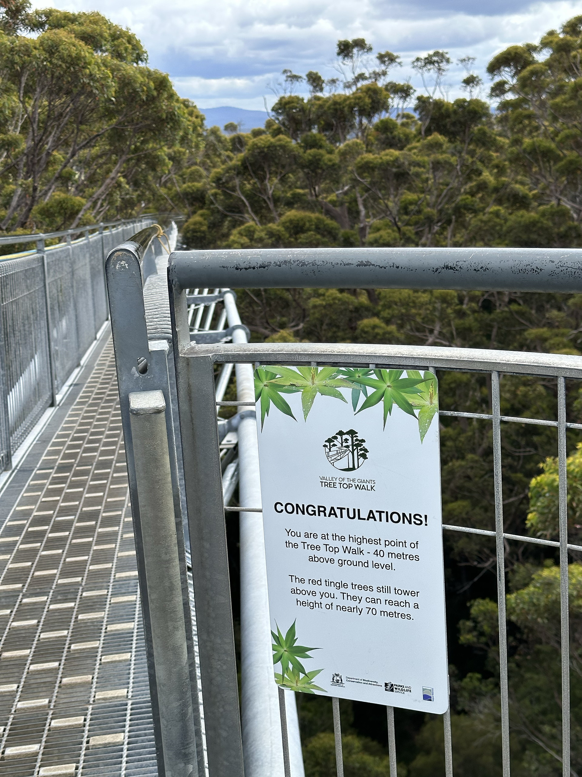
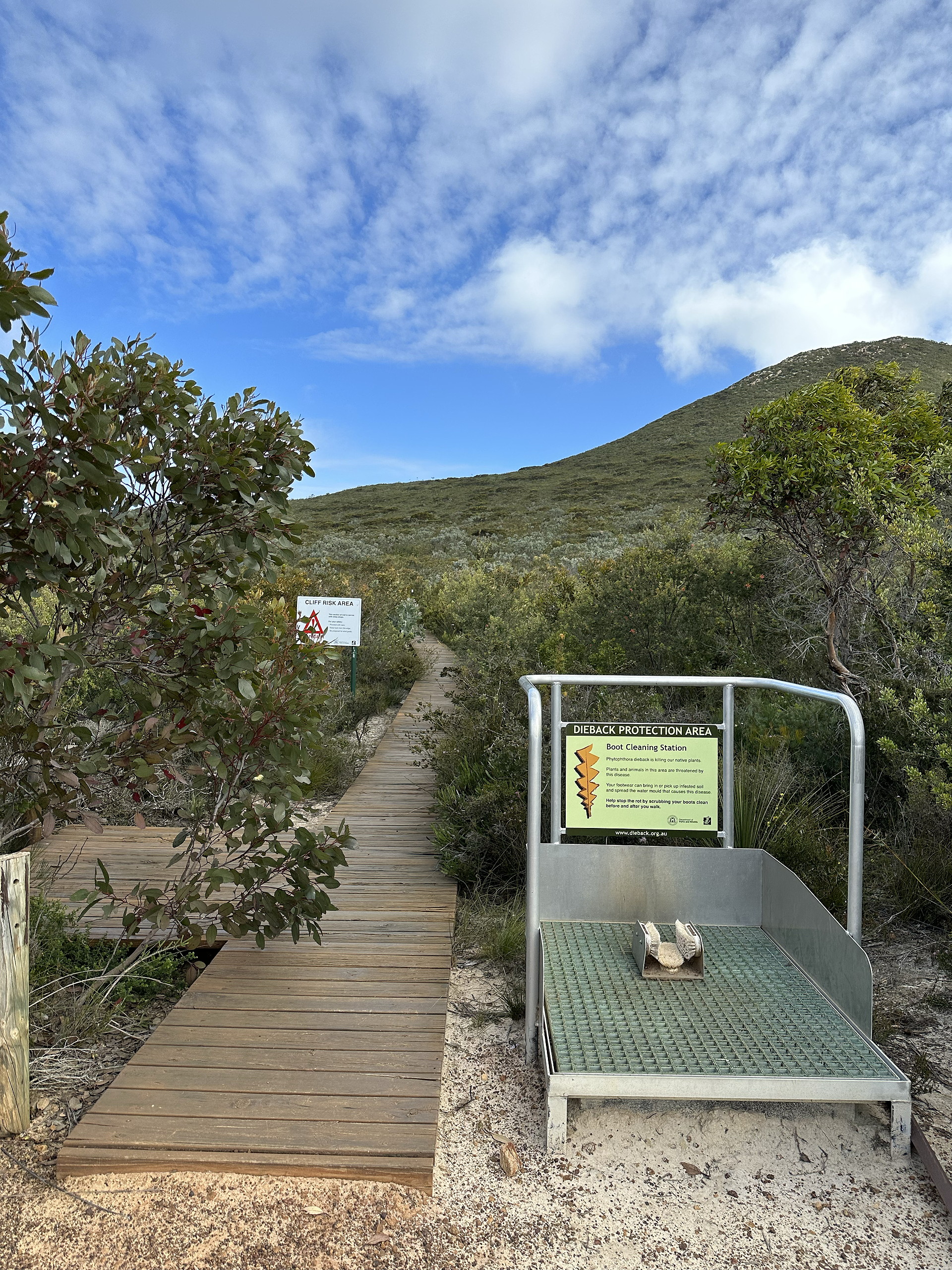
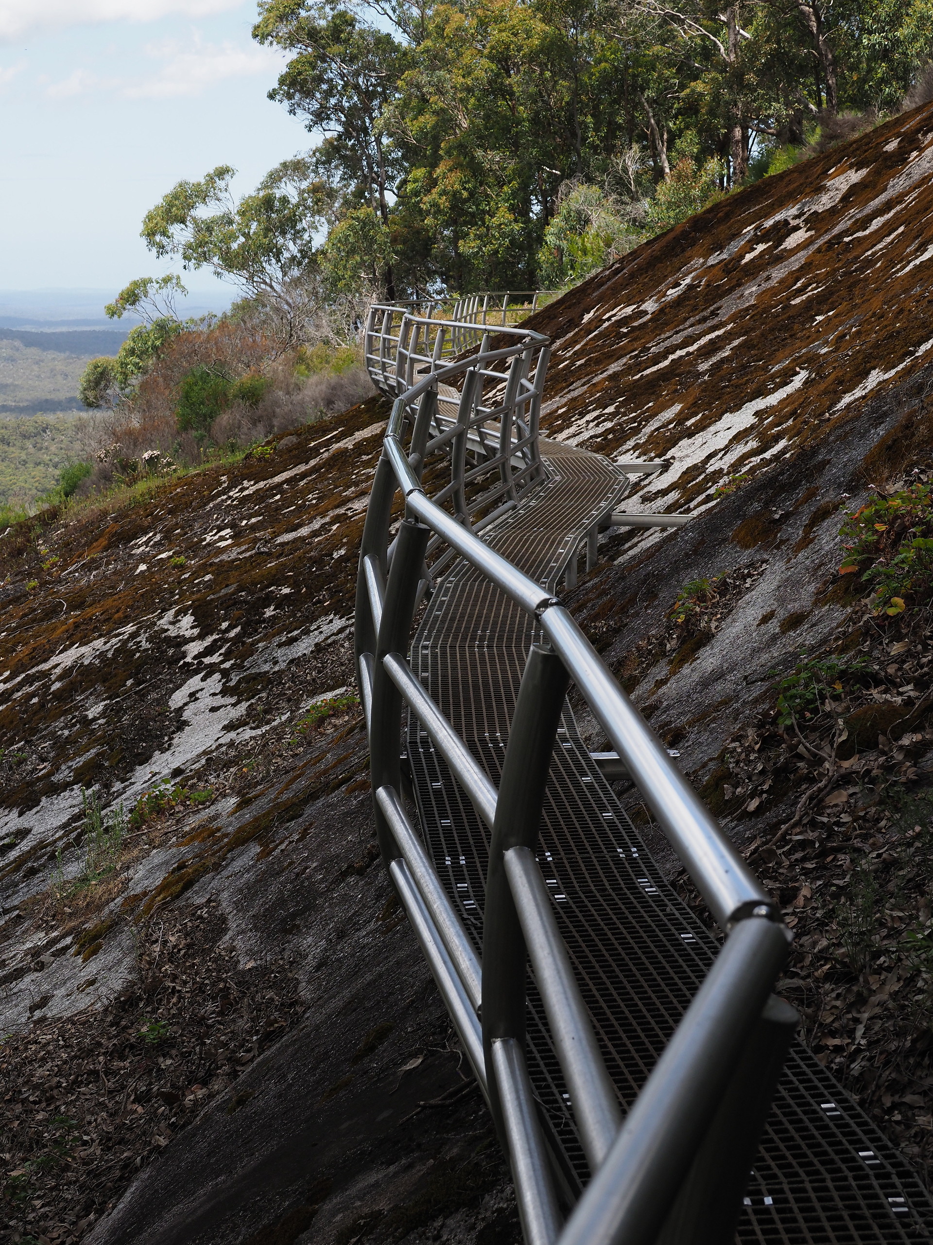
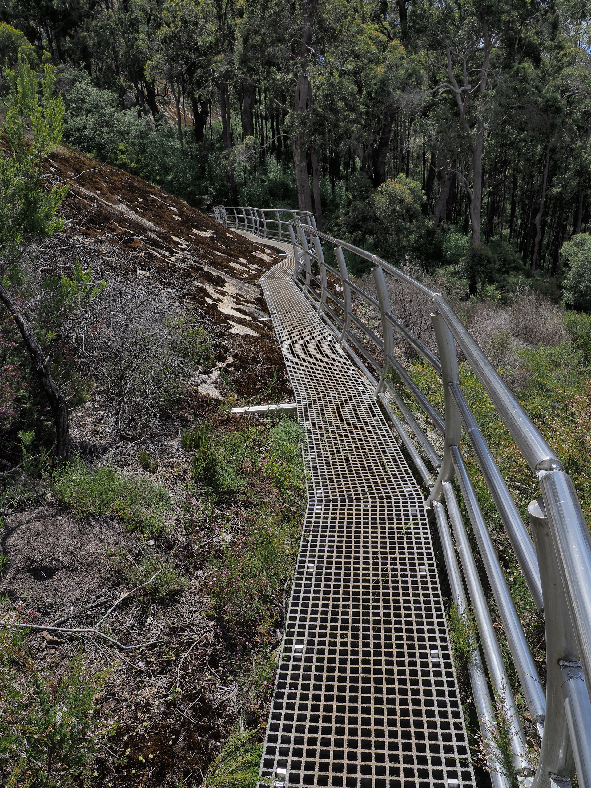
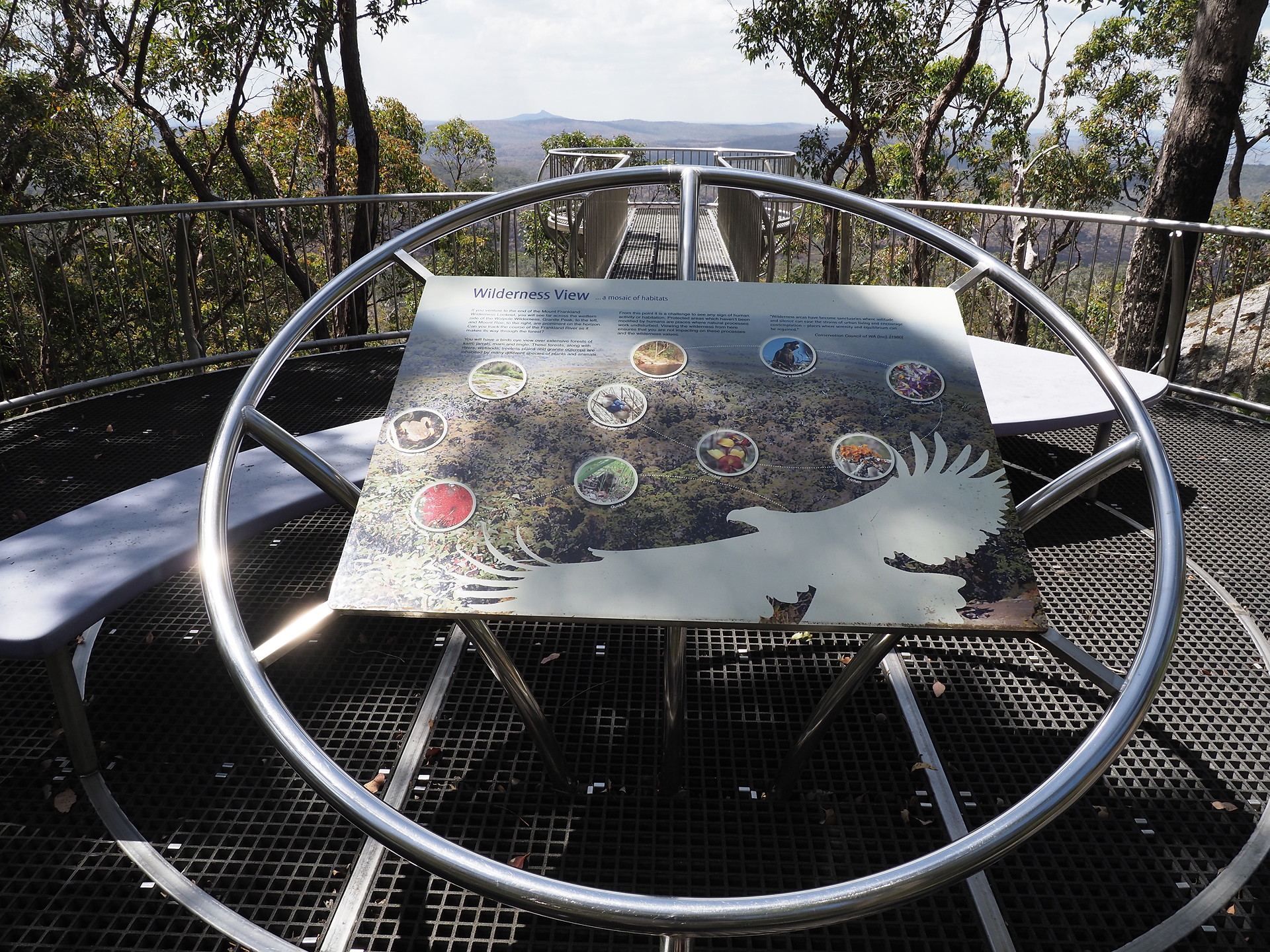
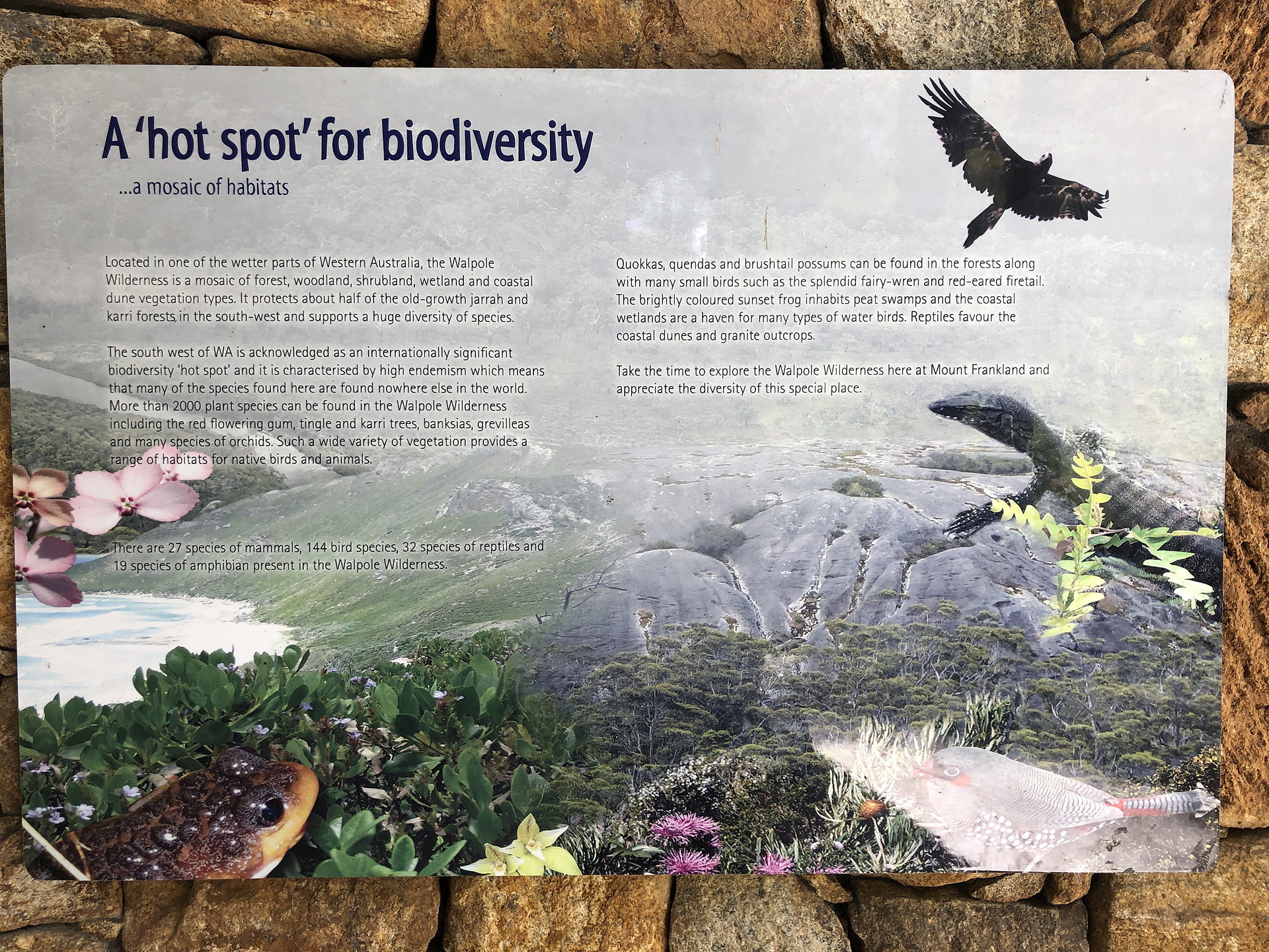
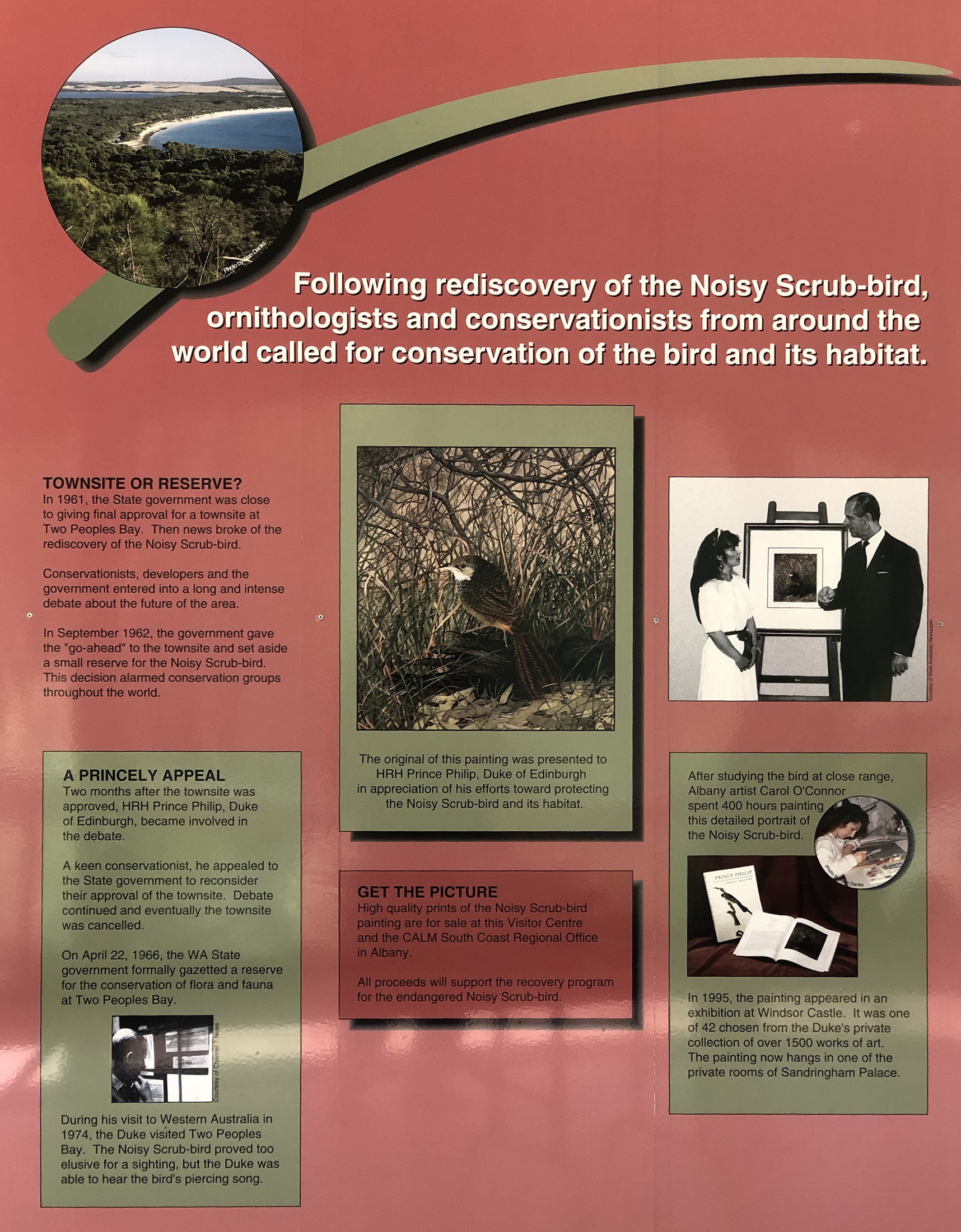
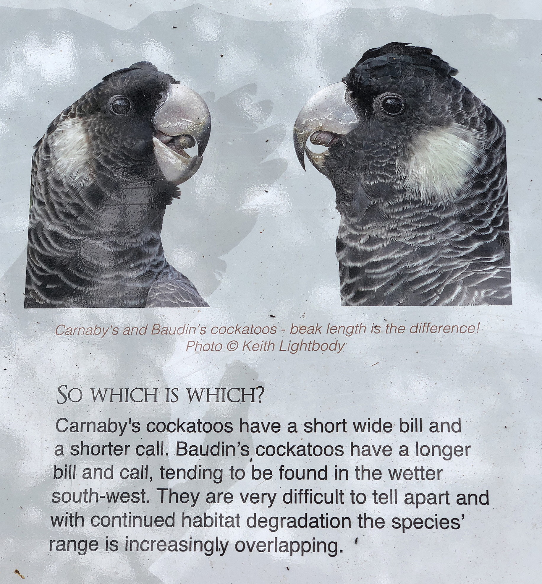
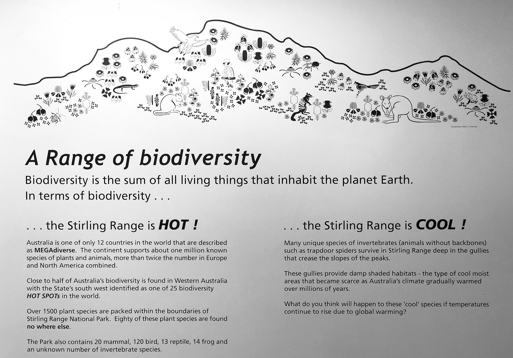
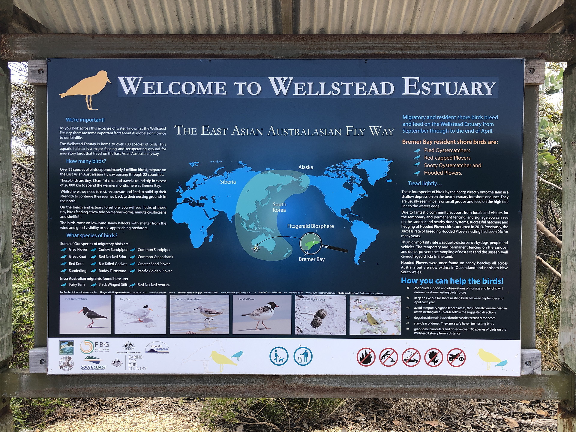
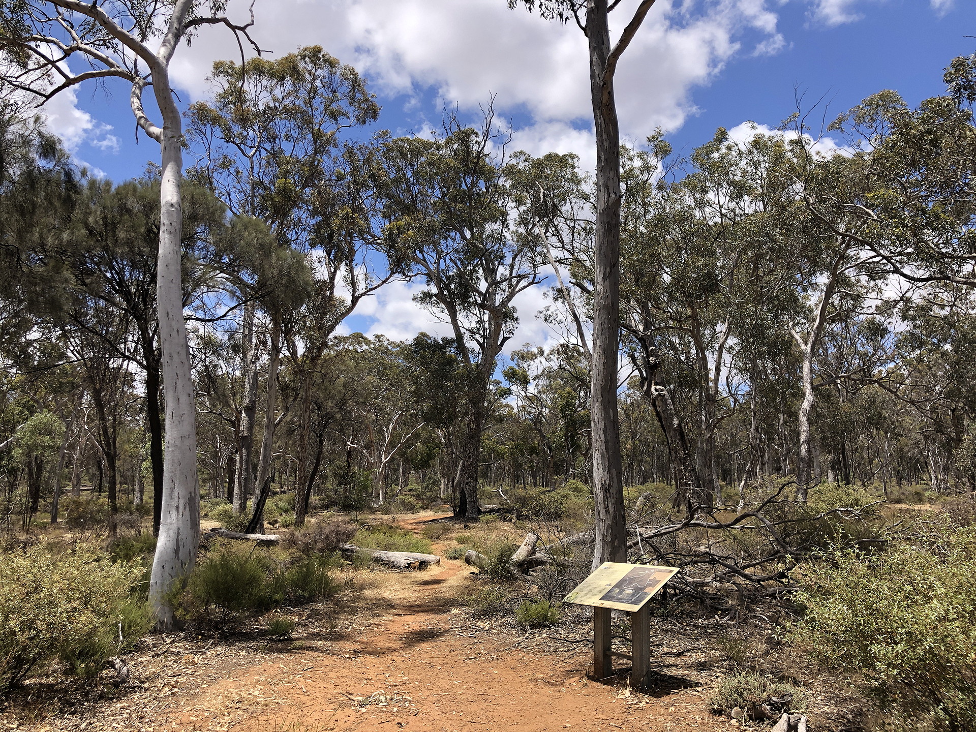
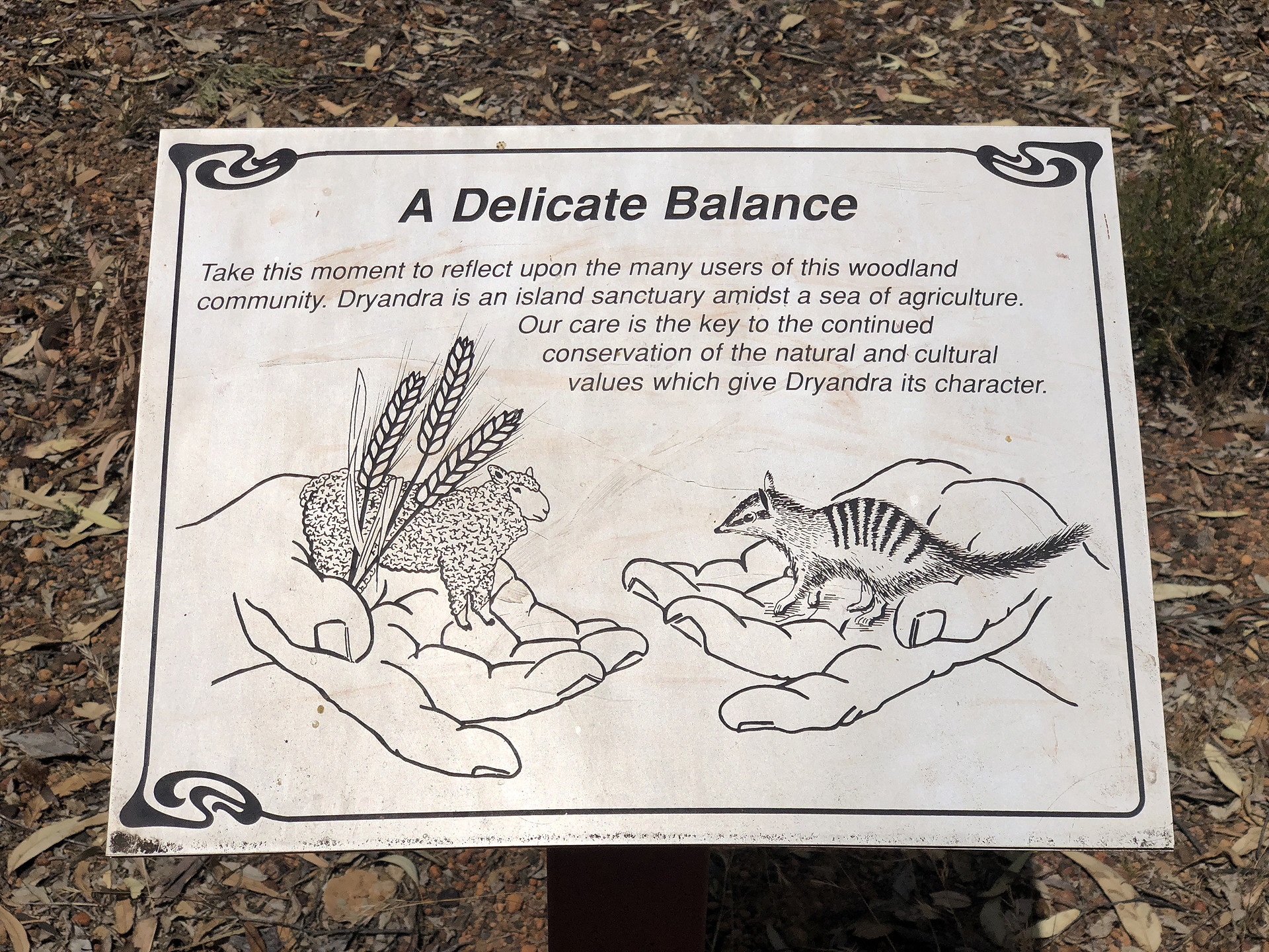
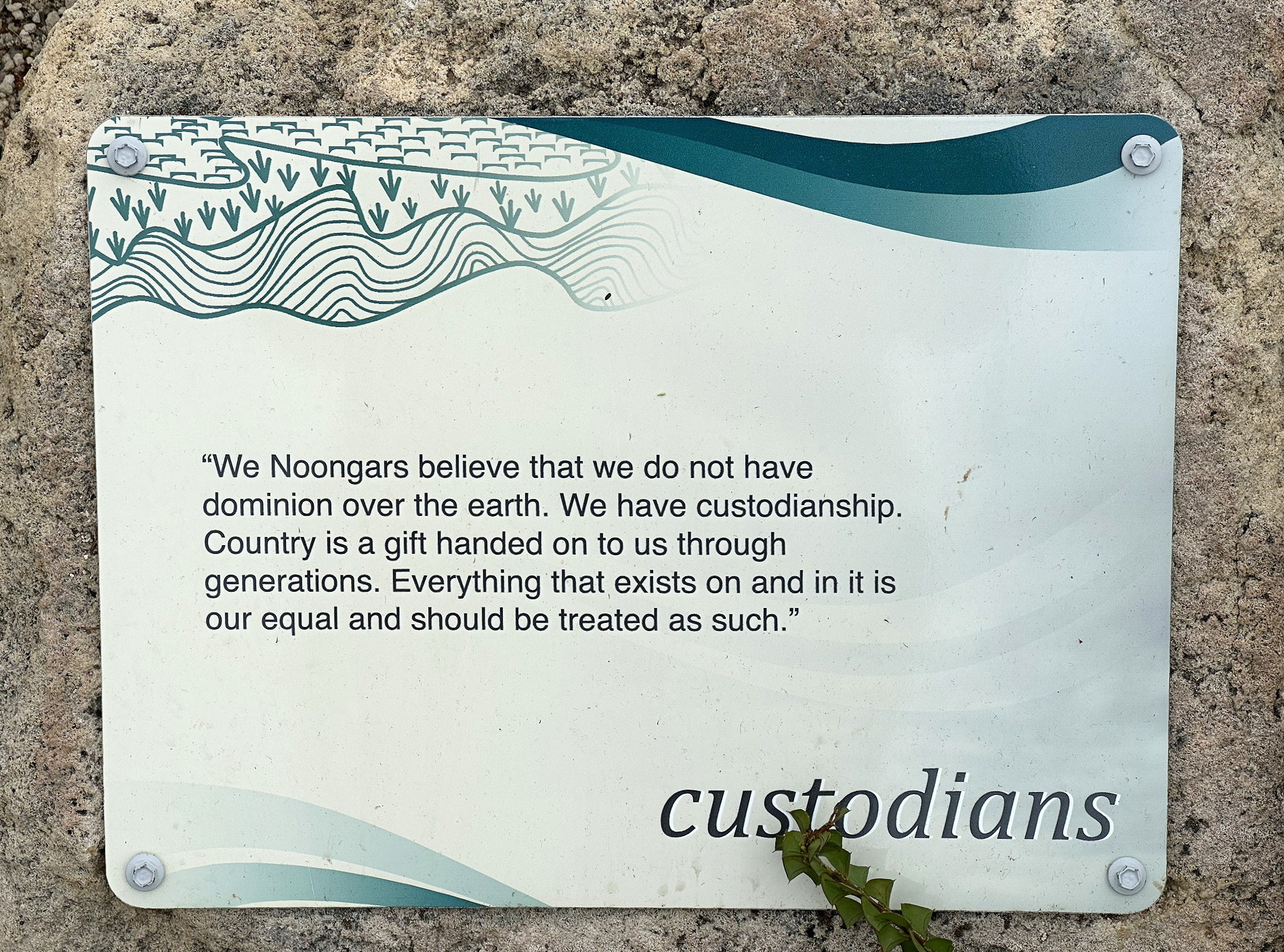
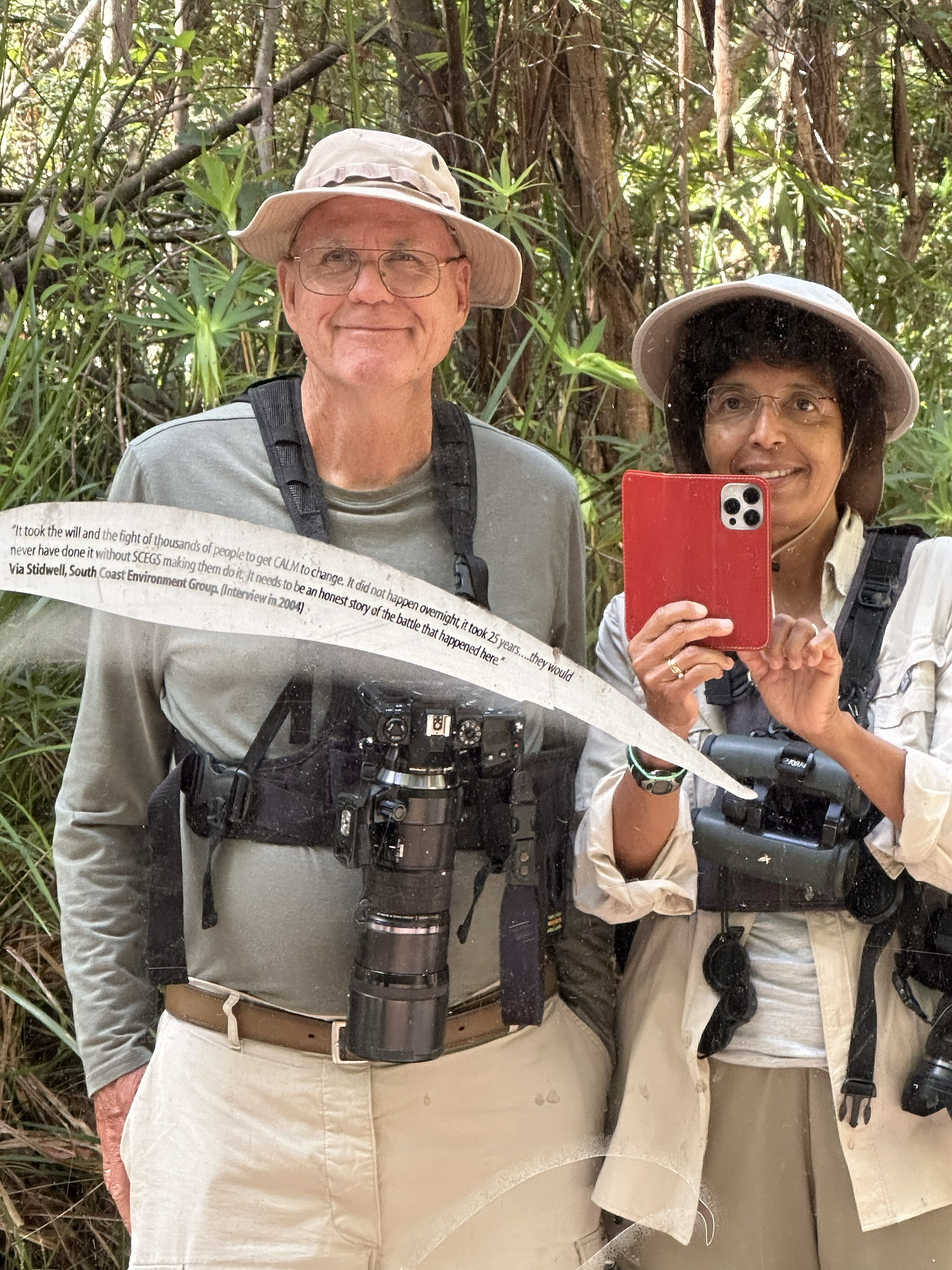
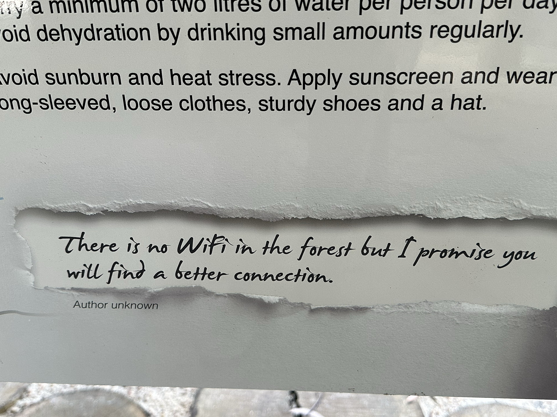
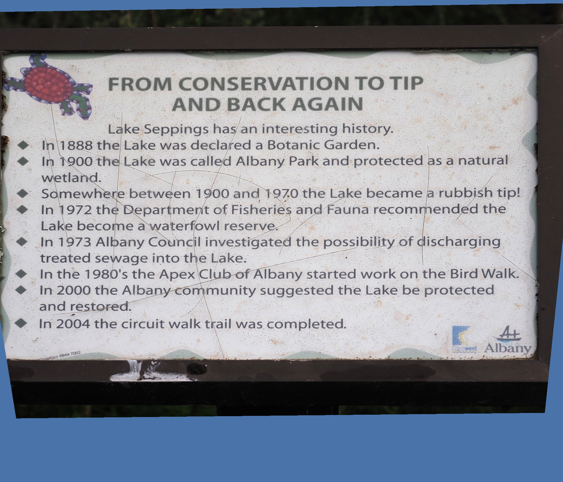
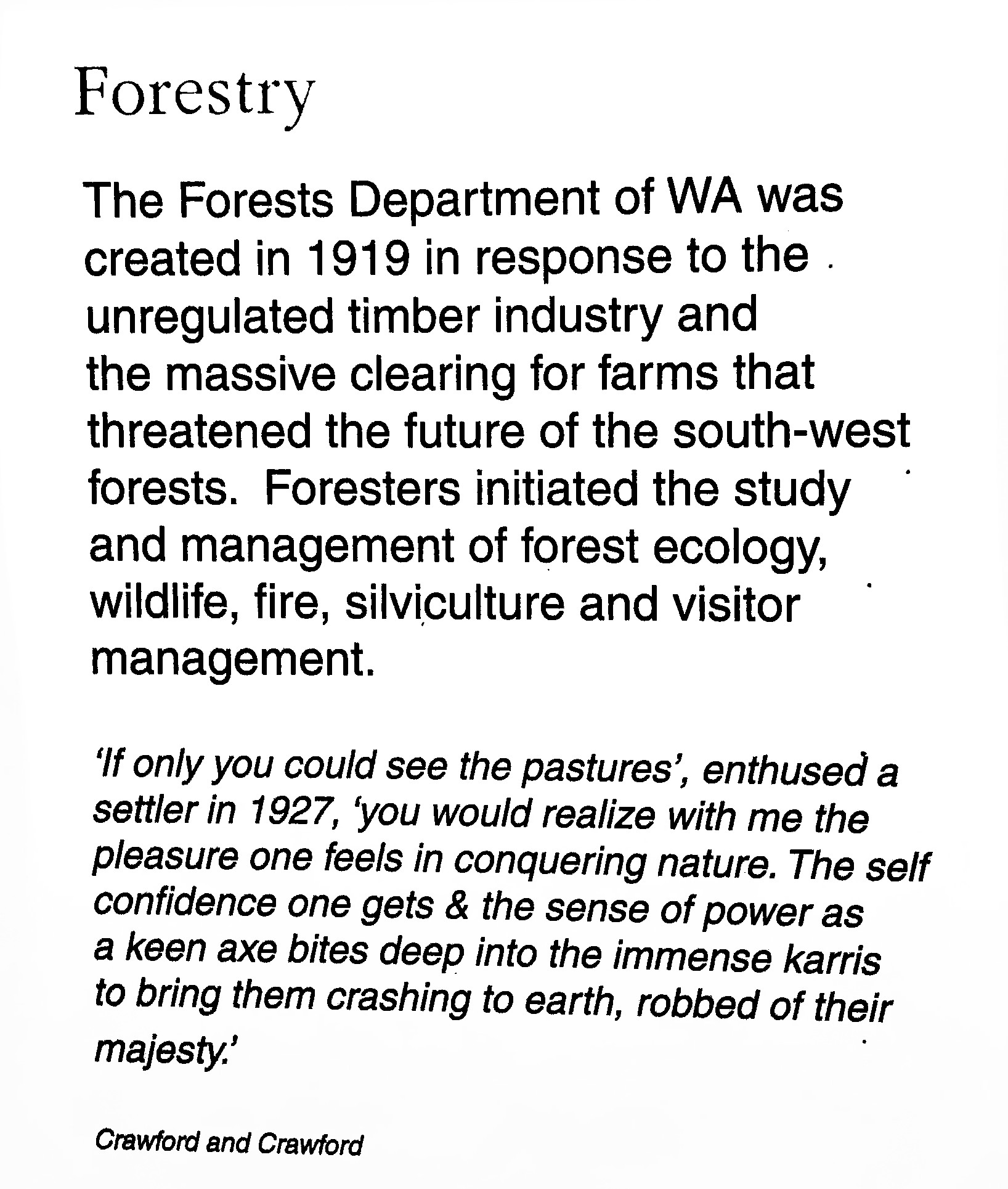
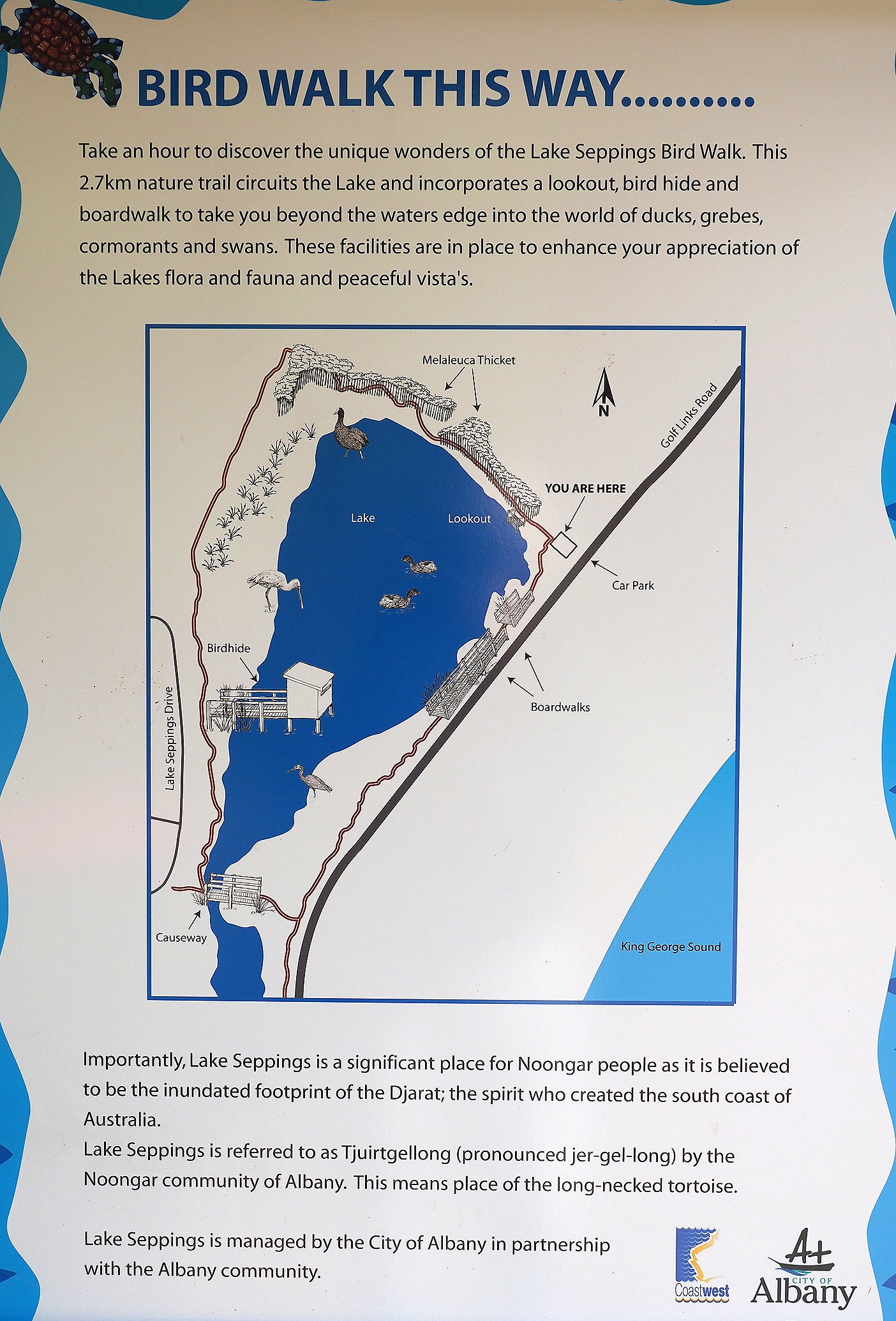
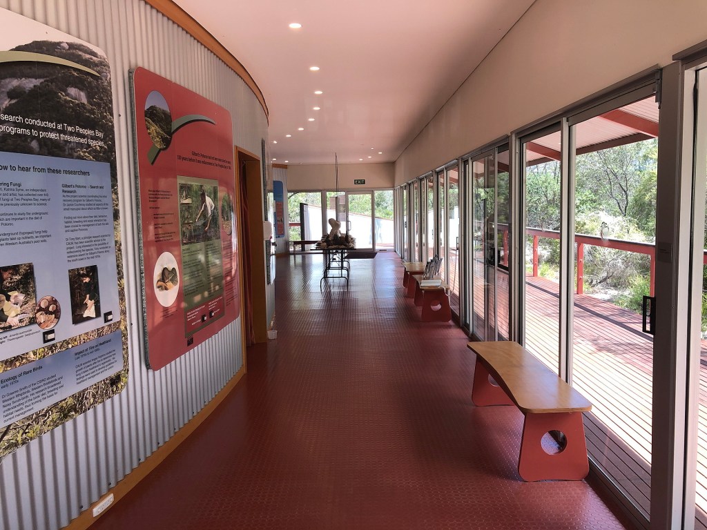
There are many national parks and conservation areas in southwest Australia. The parks often have minimal facilities – there is no equivalent of a US National Park Service with visitor center and such. But there are many trails that are usually well sign-posted and some of the trail infrastructure is exceptional. Informational plaques are common and often more detailed than those seen in US parks.
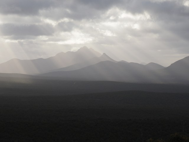
The images below show that relief associated with the large Sterling Range National Park. The park is approximately 40 miles across (E-W) and about 11 miles N-S, and it includes the highest terrain in SW Australia.
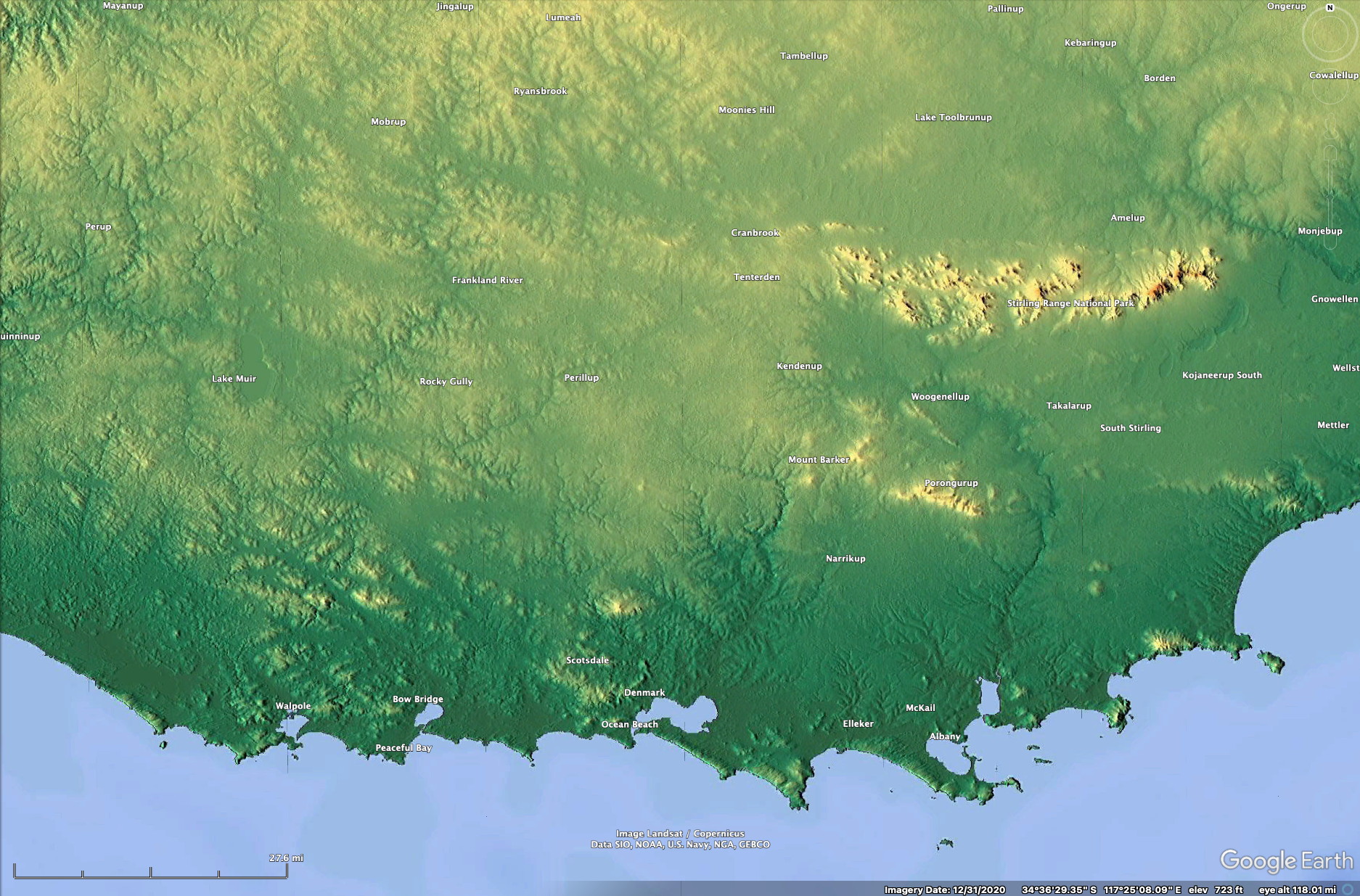
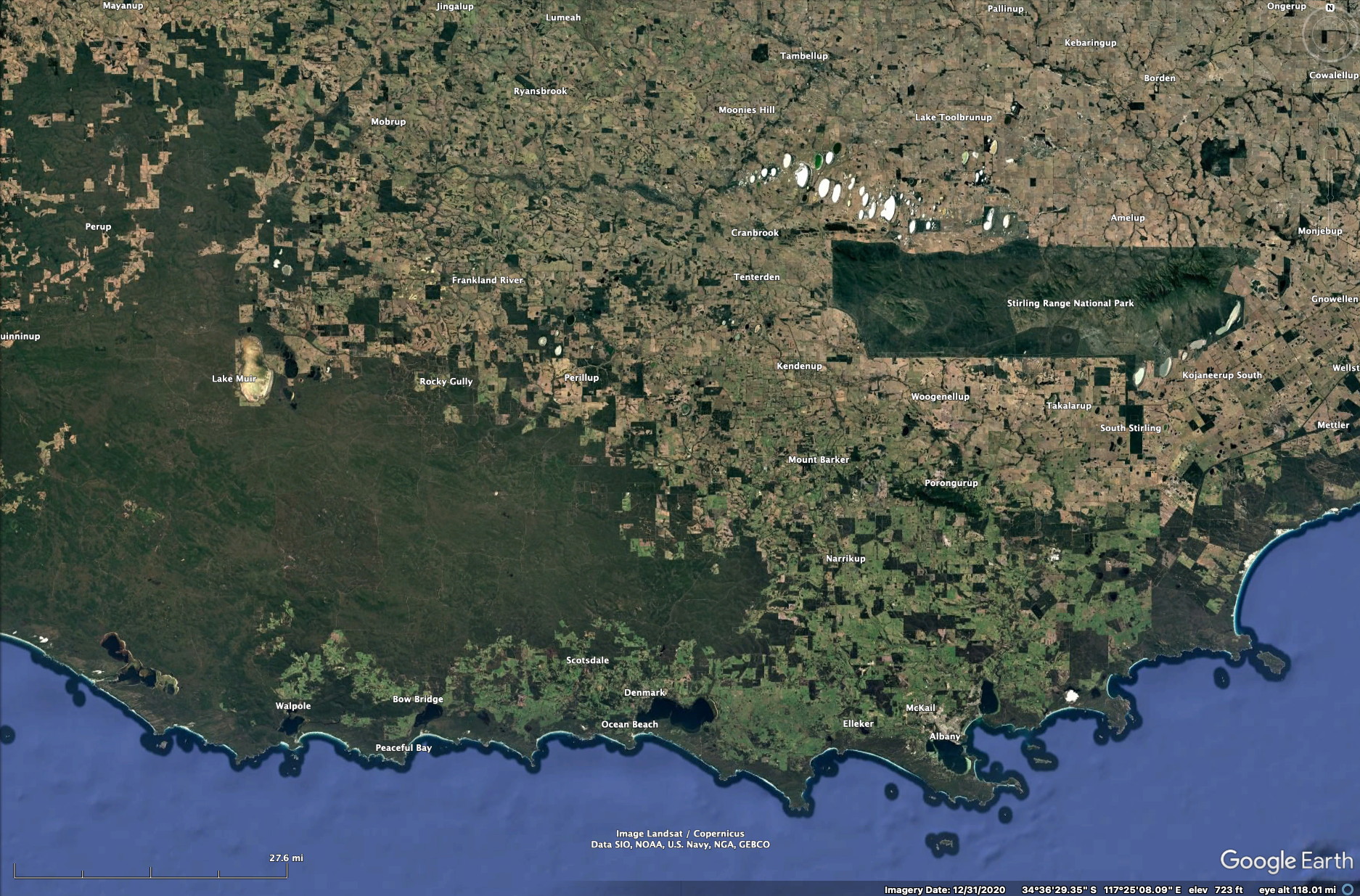
A more detailed view of the Sterling Range National Park and its associated relief is shown below. Again, the park is quite large (40 miles E-W) yet it has only a few gravel roads and one highway that traverse it.
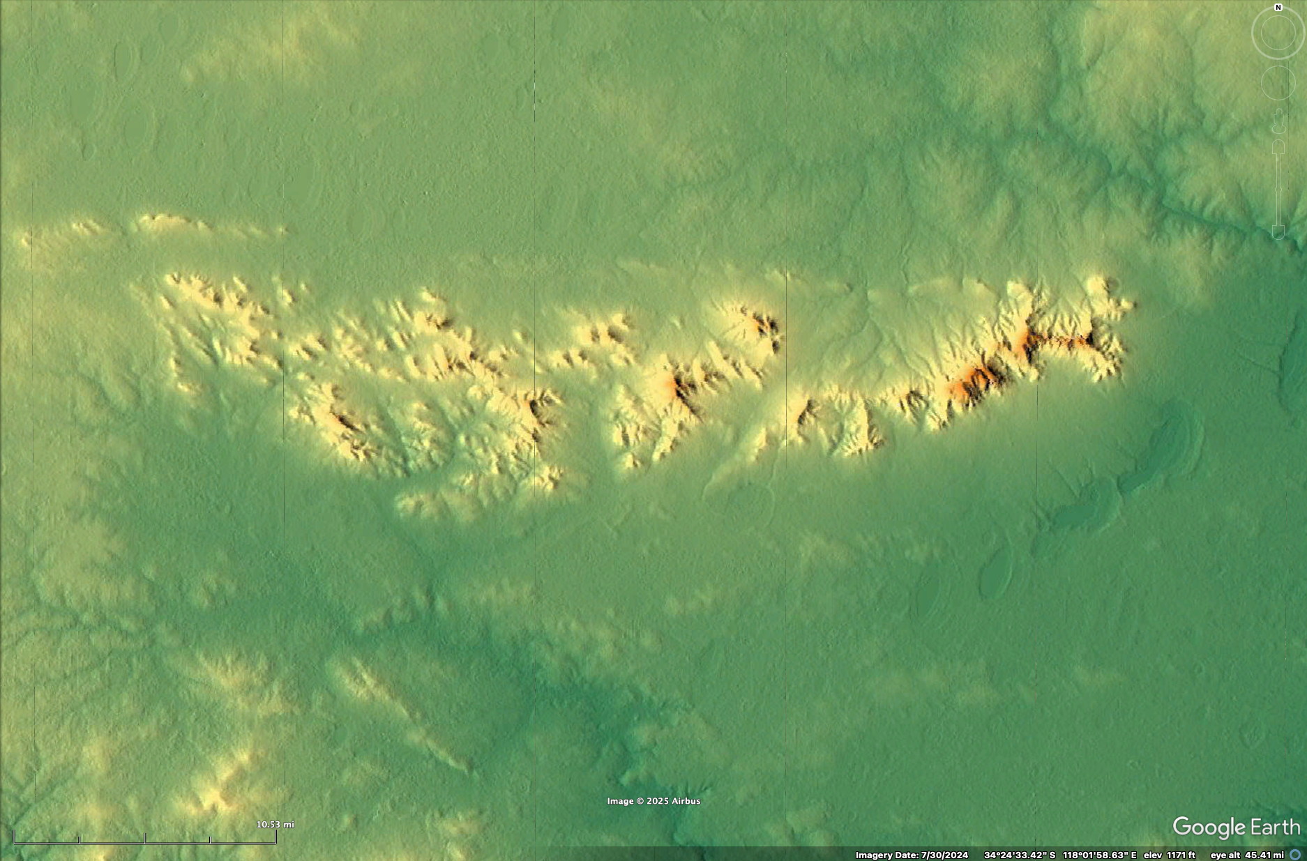
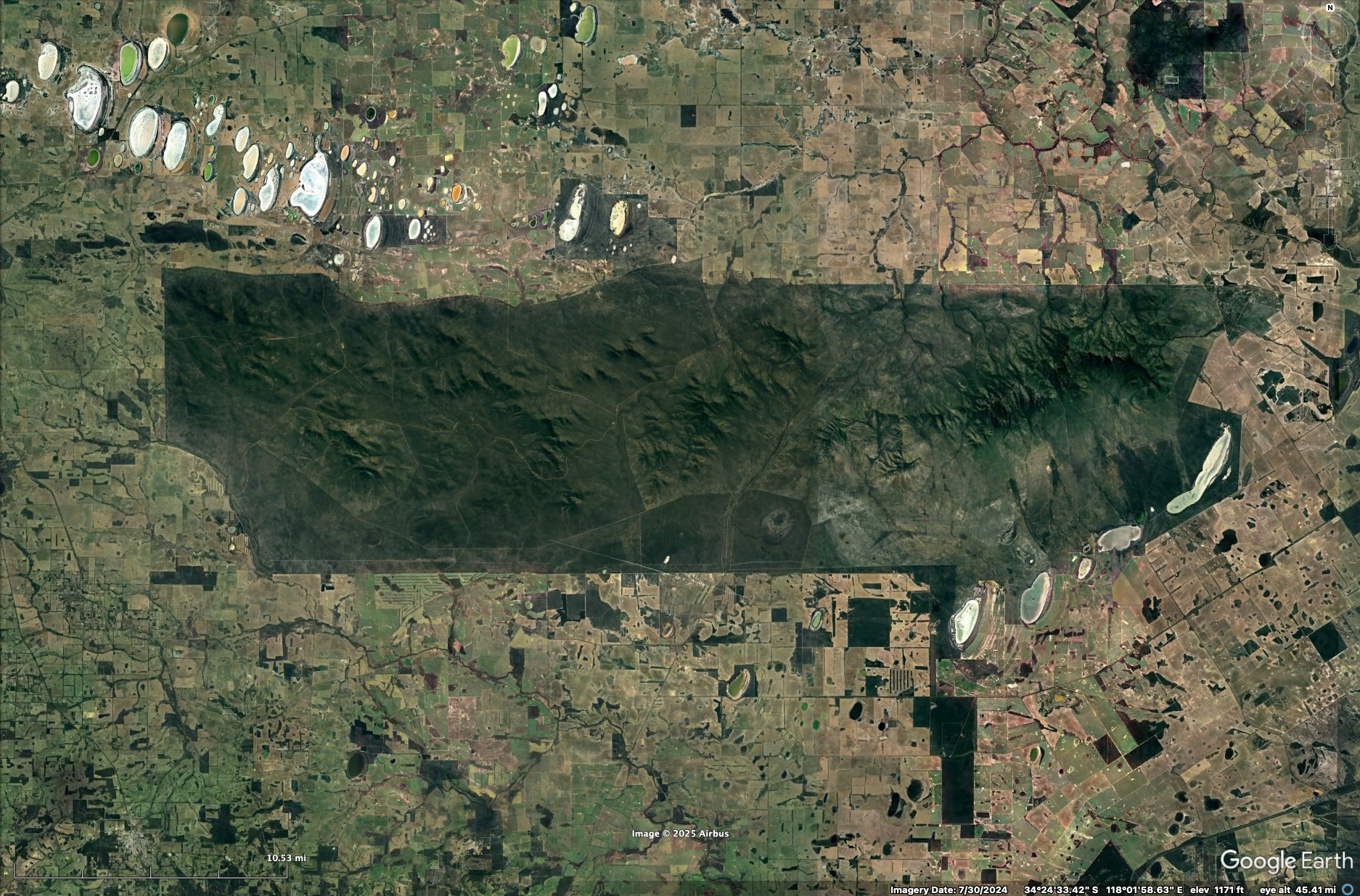
A more detailed view of the Sterling Range National Park and its associated relief. Again, the park is quite large (40 miles E-W) yet it has only a few gravel roads and one highway that traverse it.
And a more detailed view of the satellite image can be seen by clicking on the image below.
Accommodations
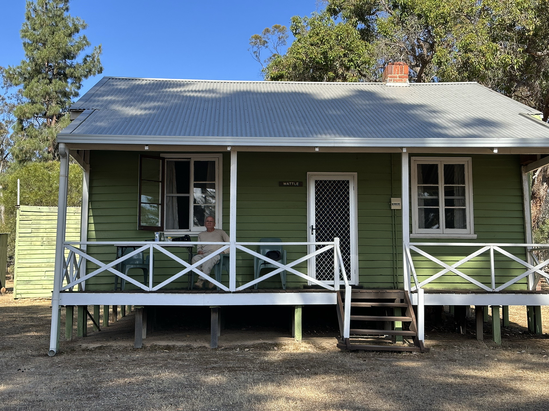
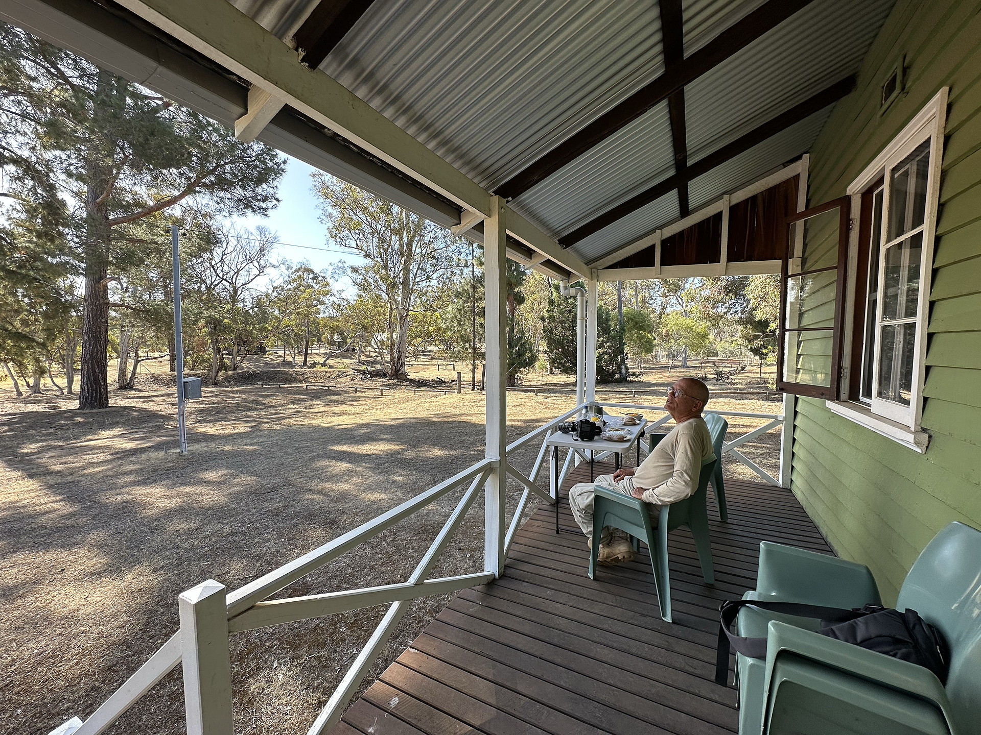
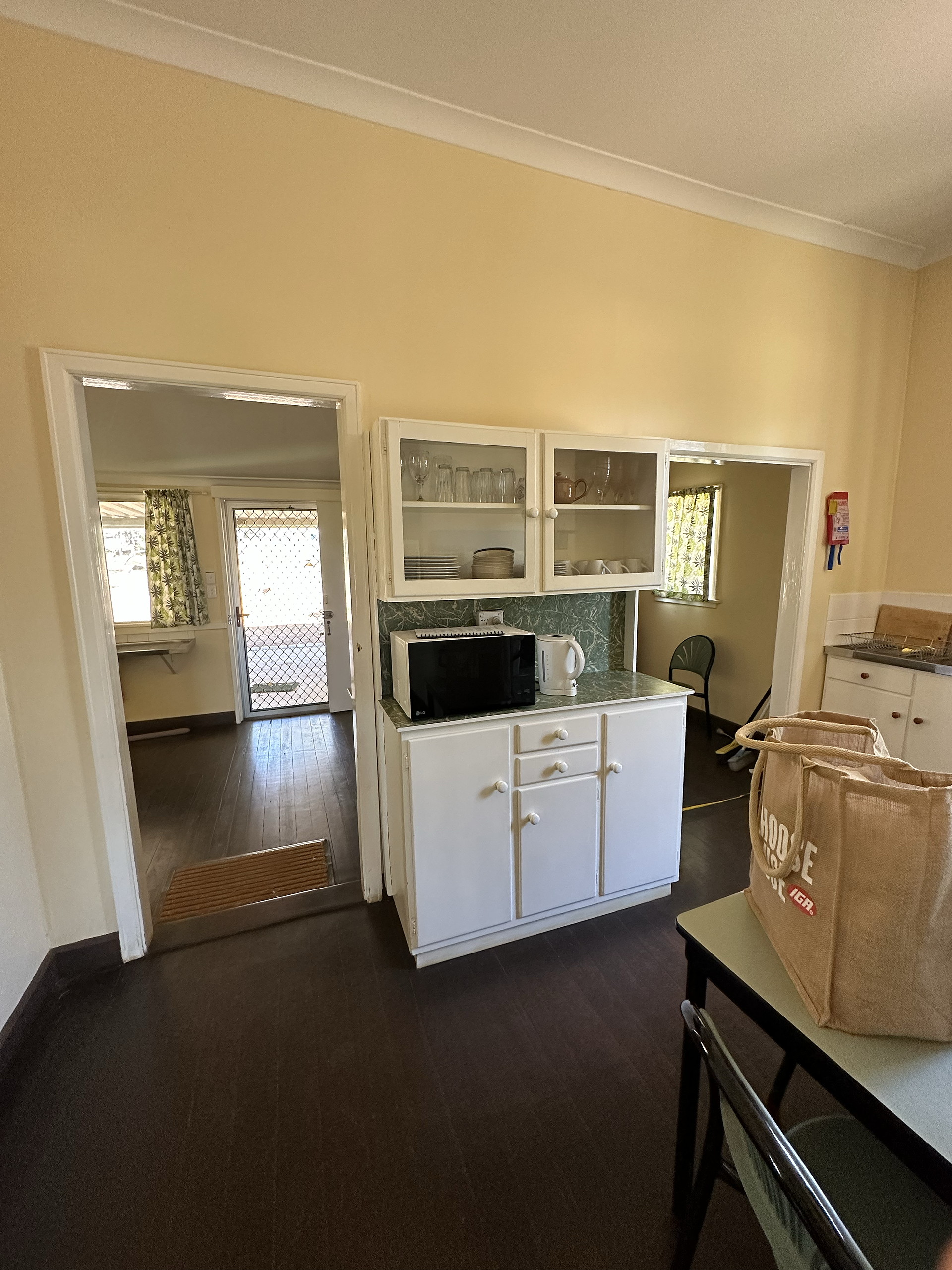
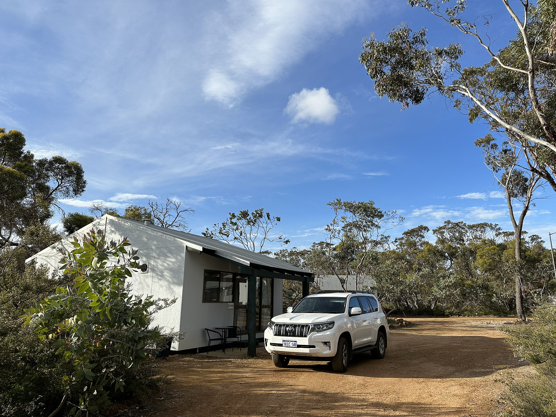
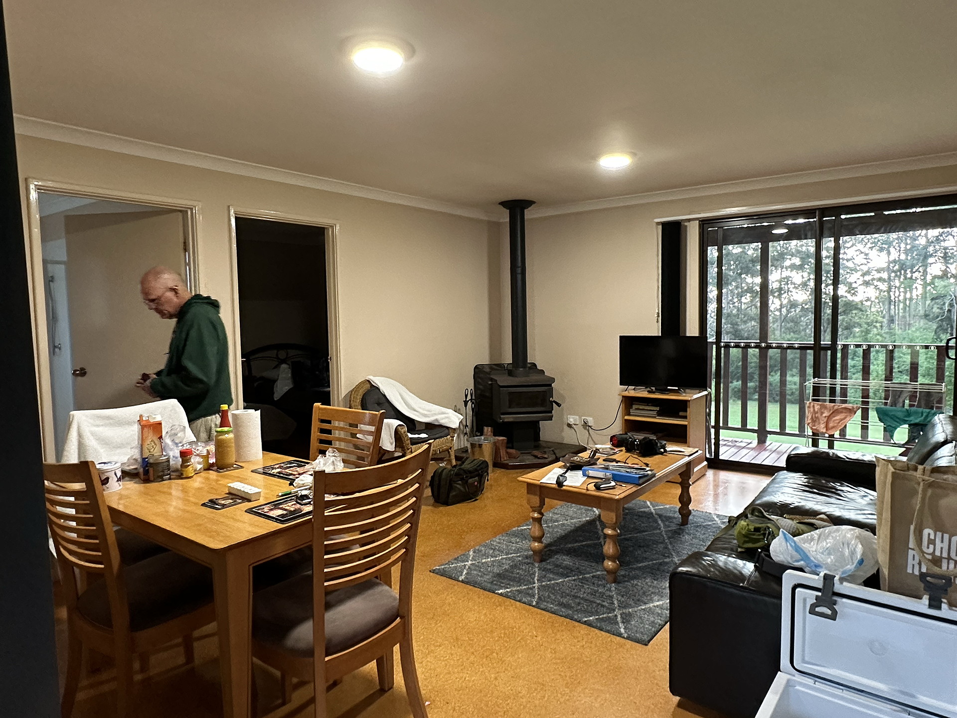
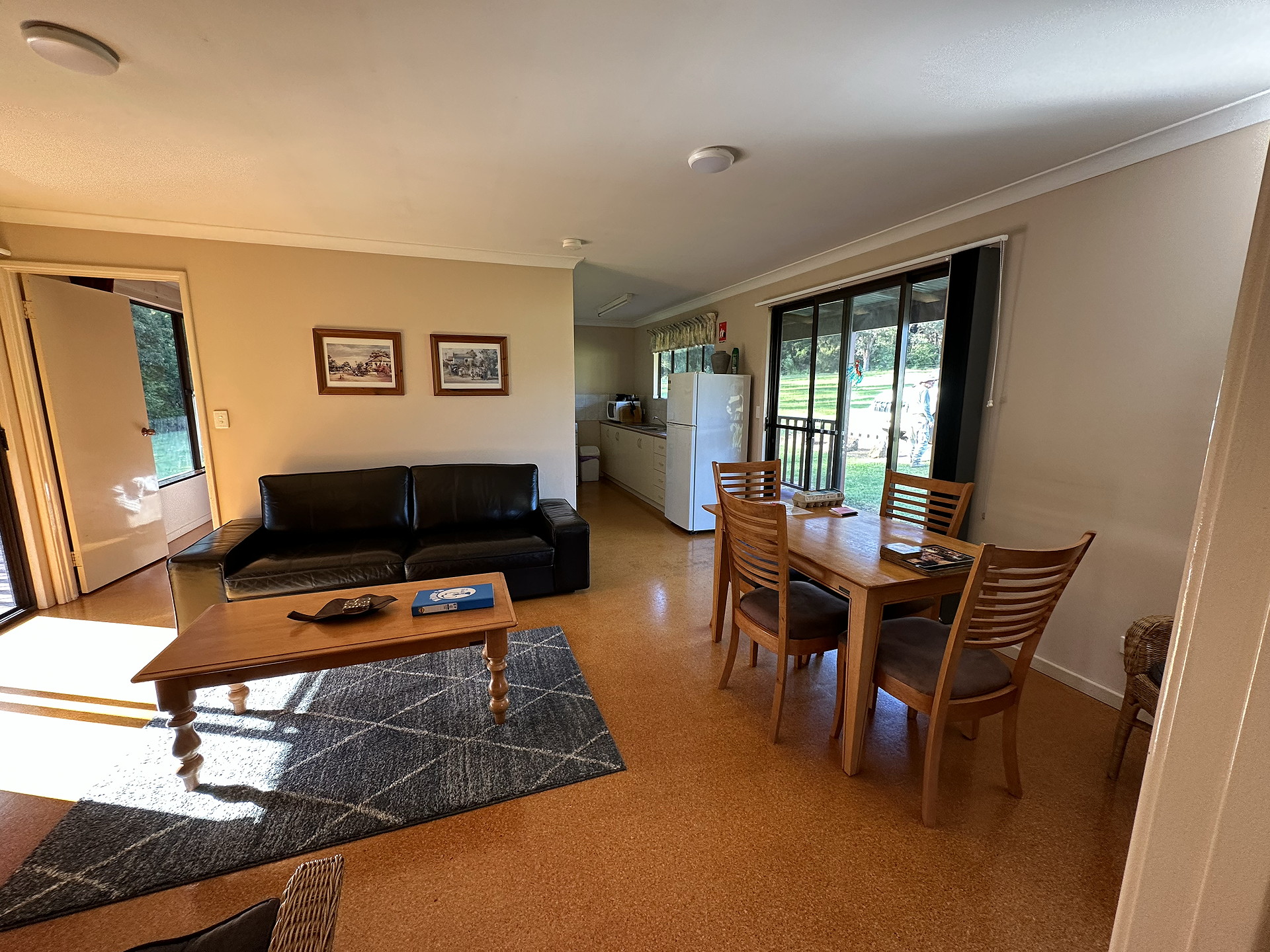
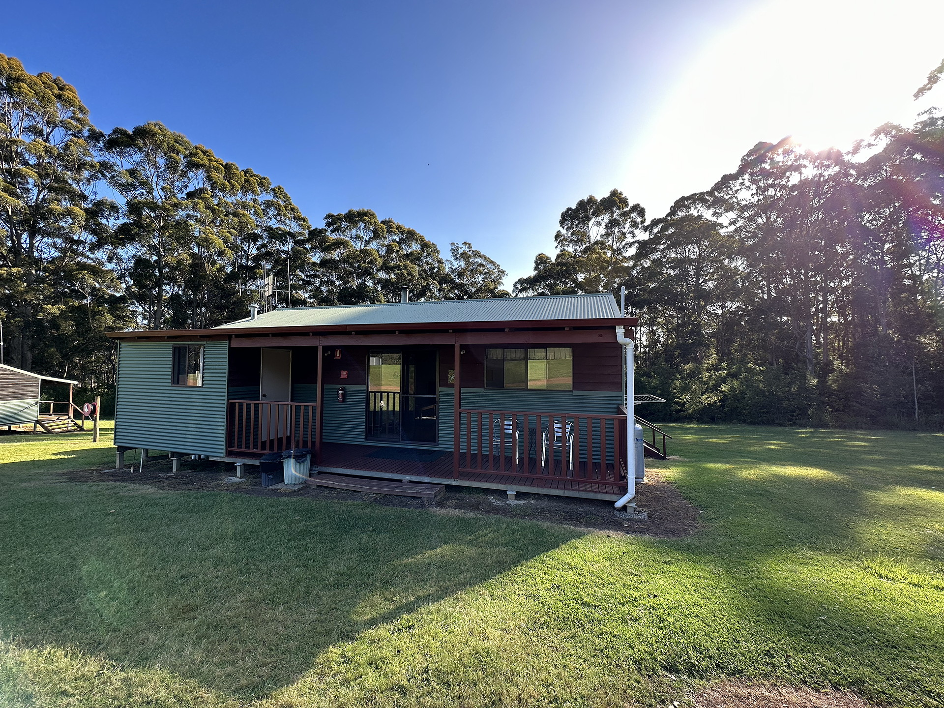
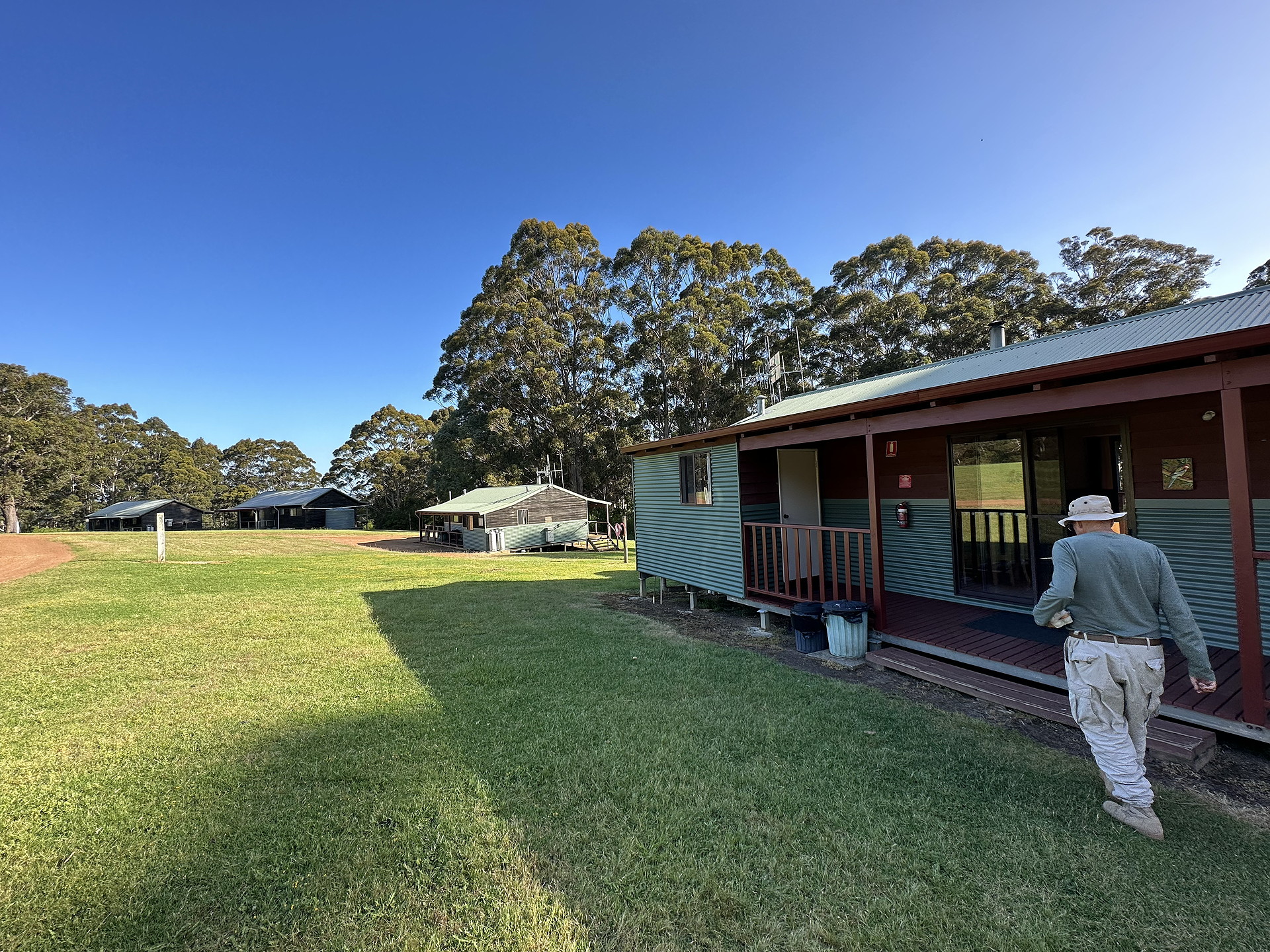
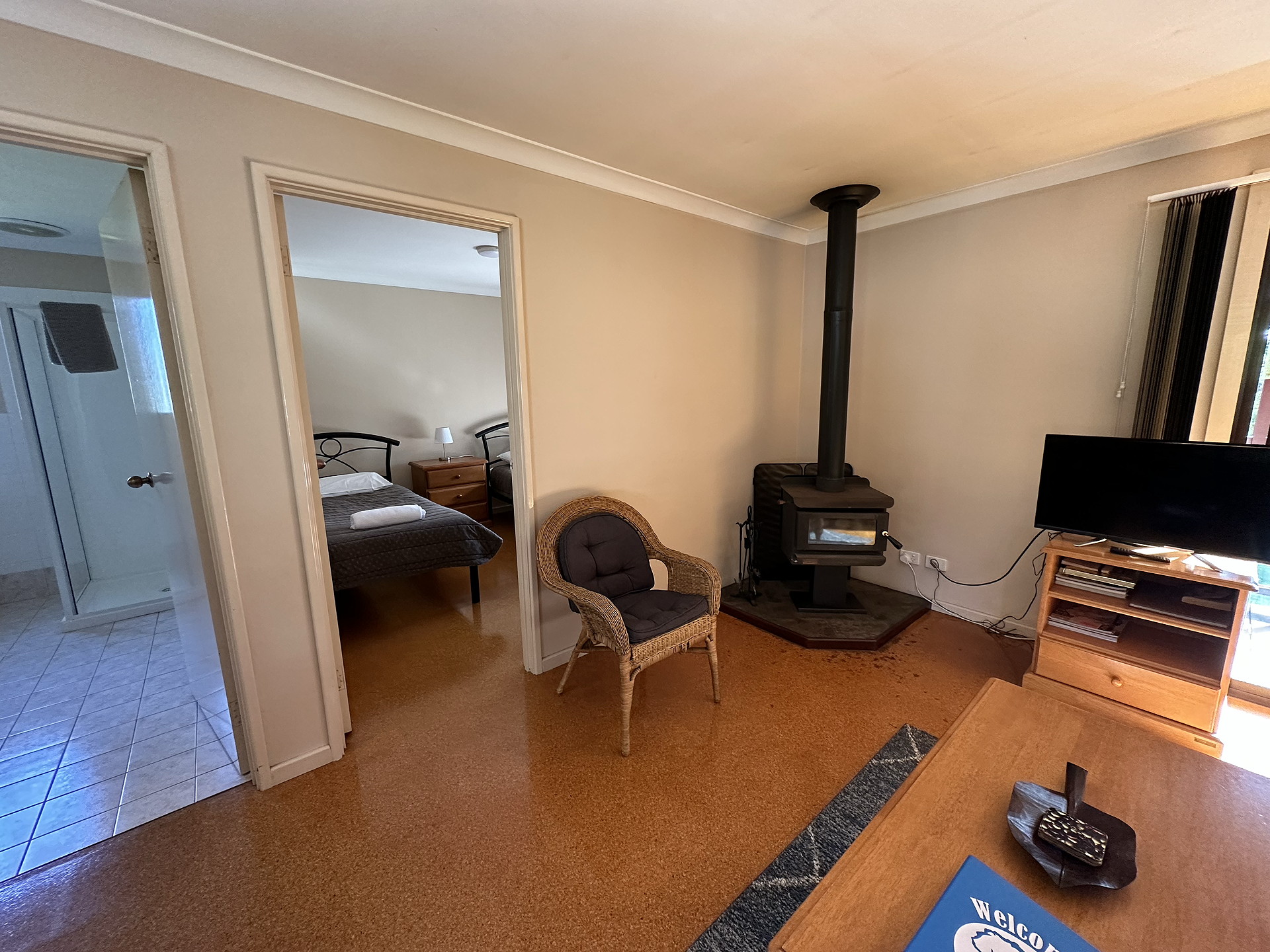
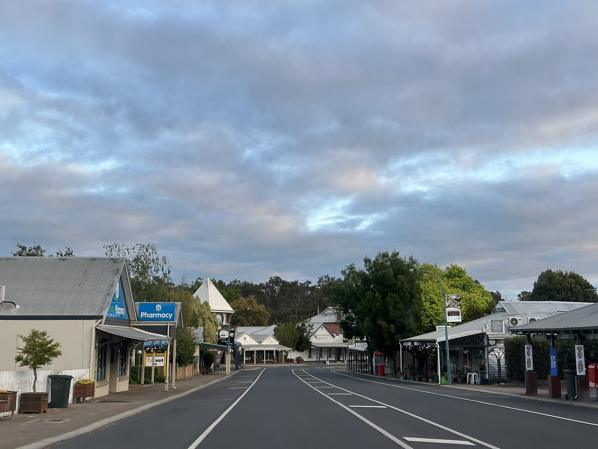
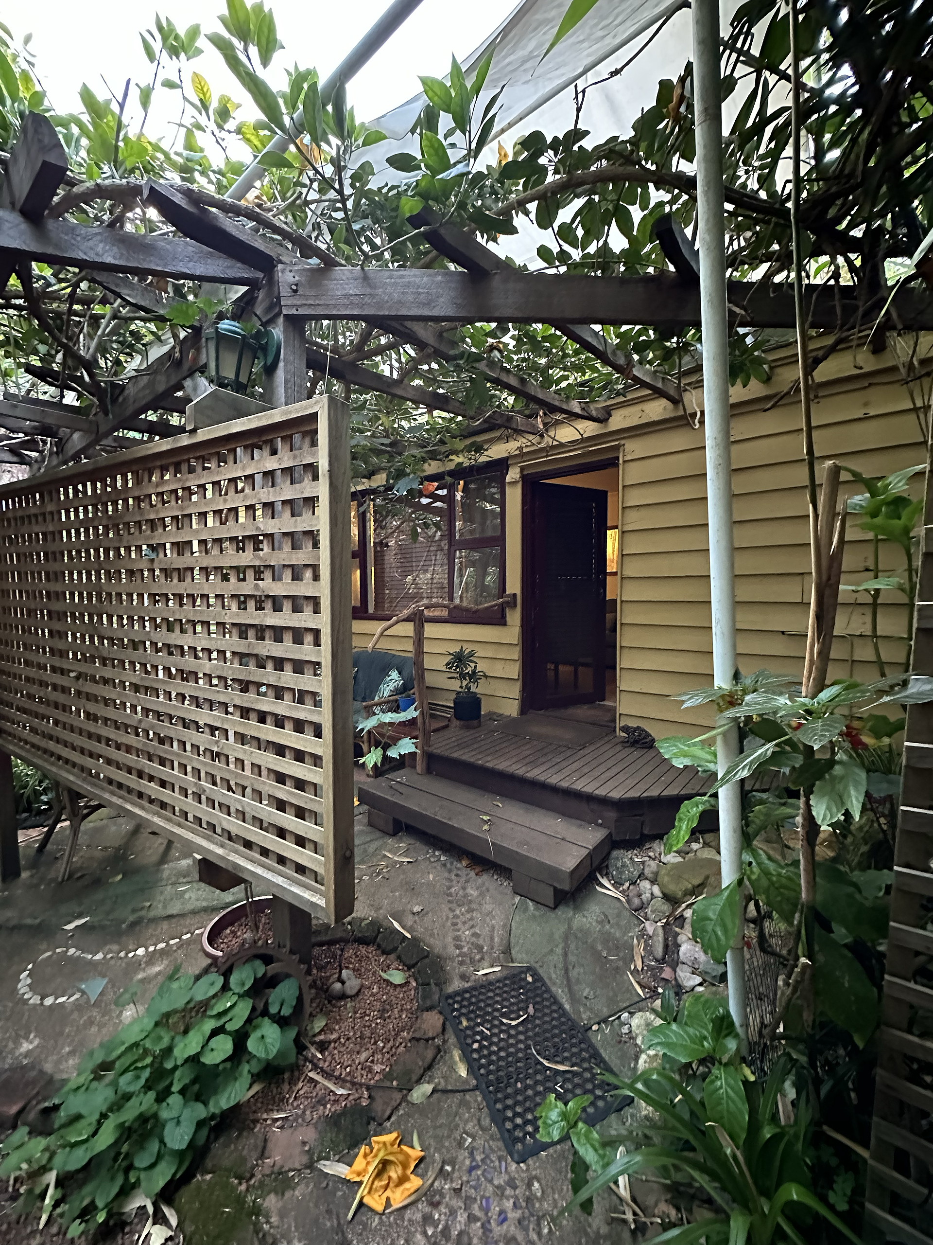
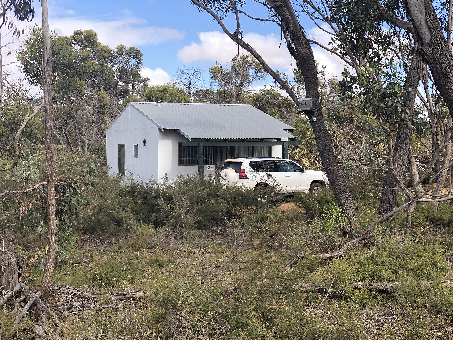
Our accommodations were entirely adequate, being with only a few exception, in the countryside and within eyesight of wildlife. The photos shown below are just examples of the kinds of accommodations available. See the image captions for more details.
Trail infrastructure
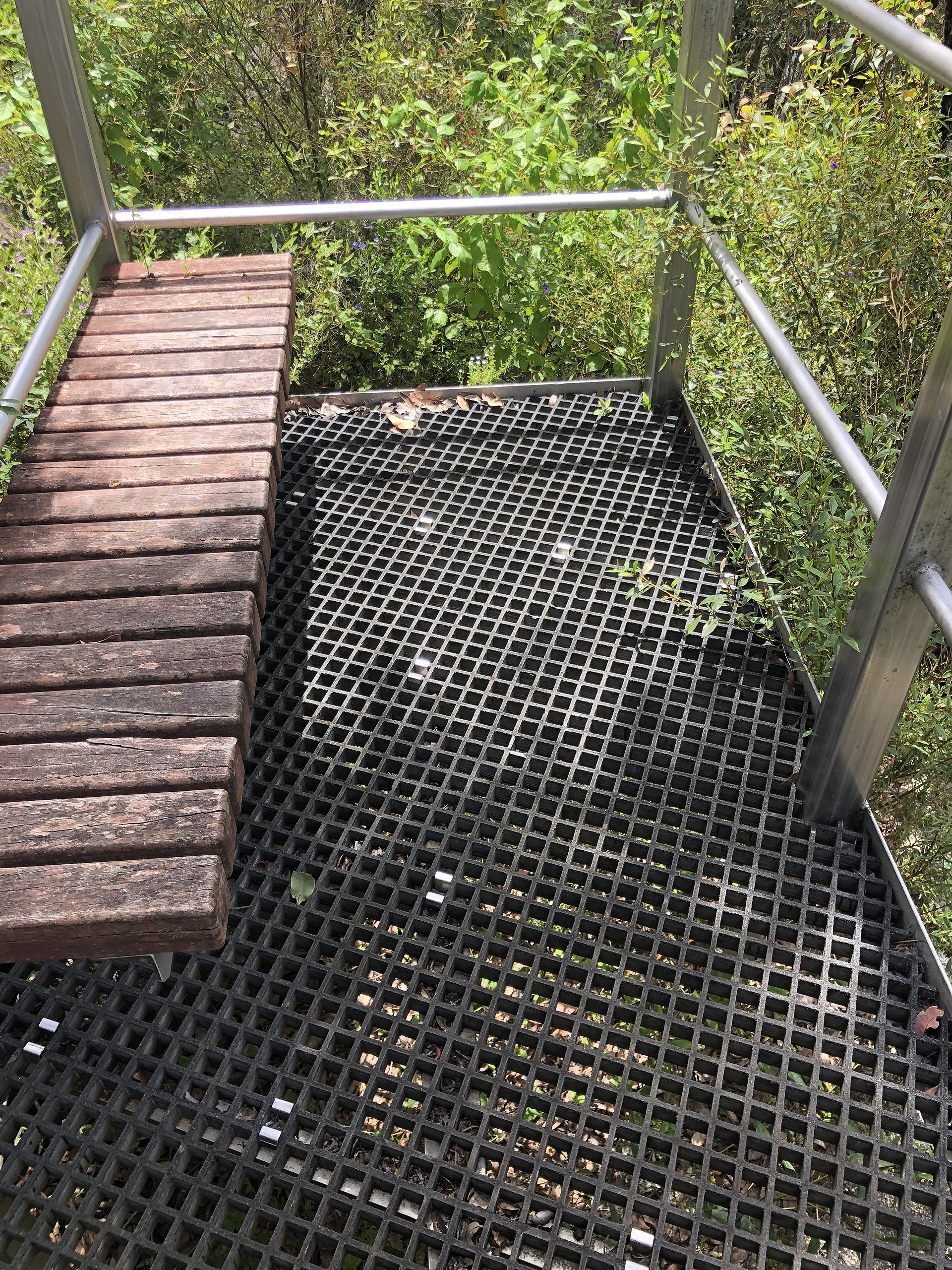
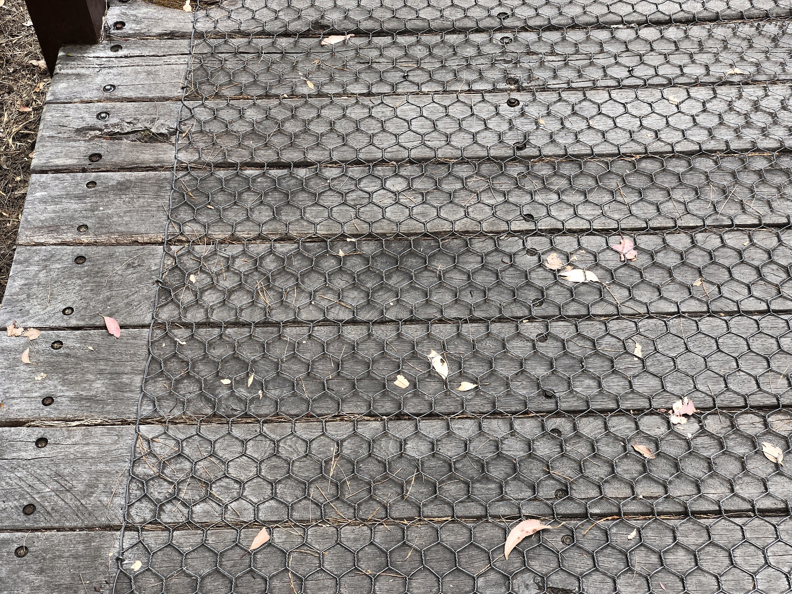
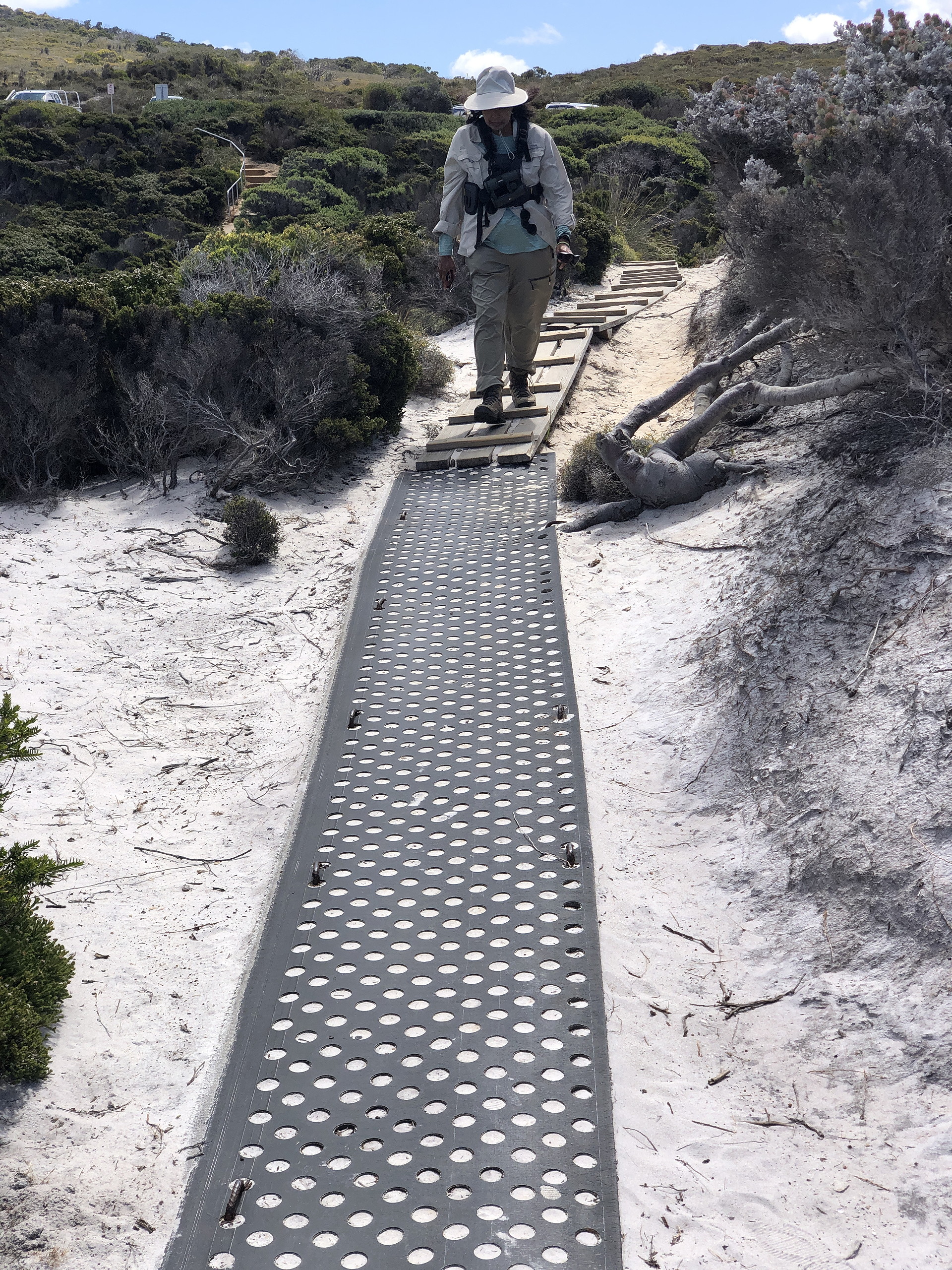
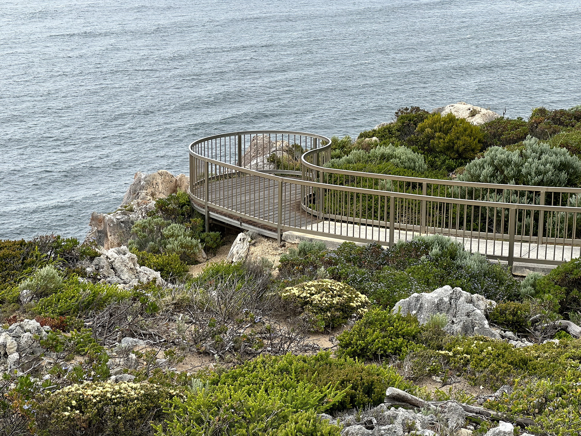
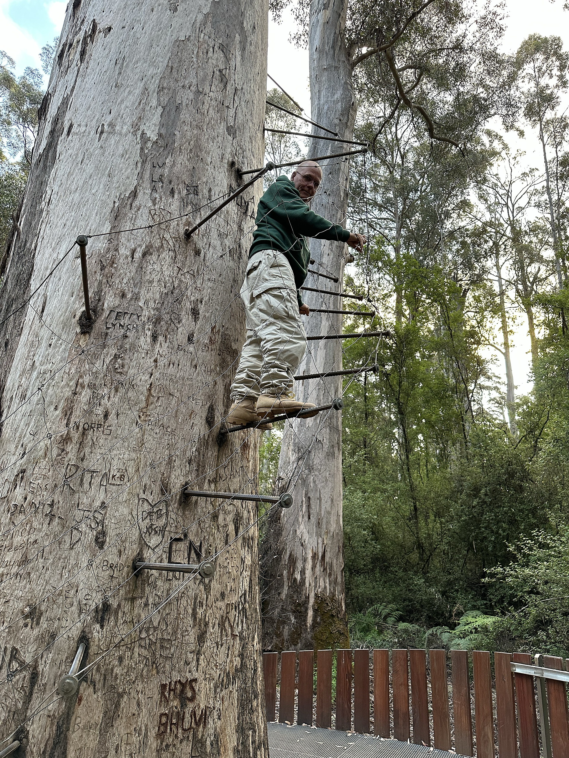
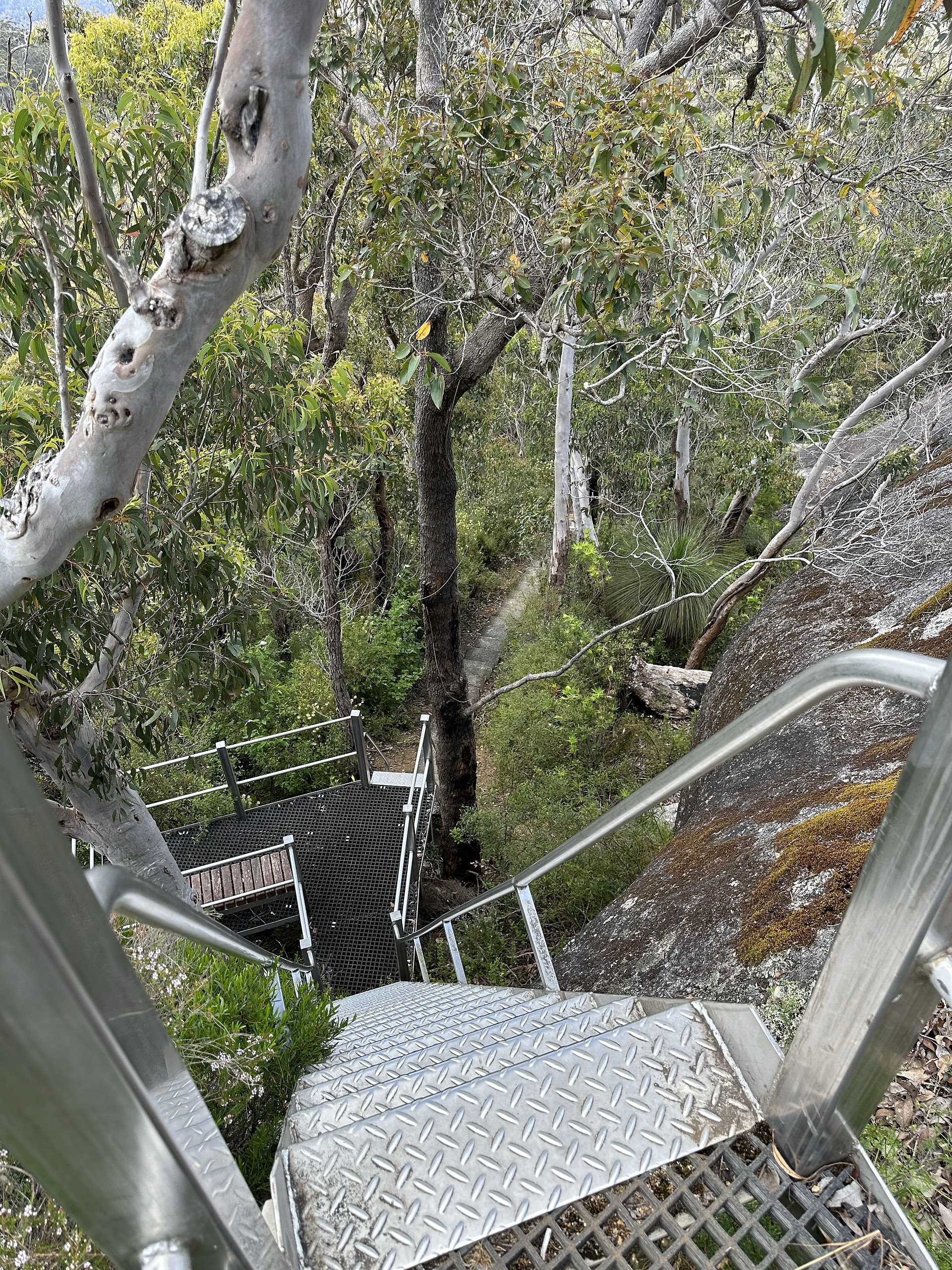
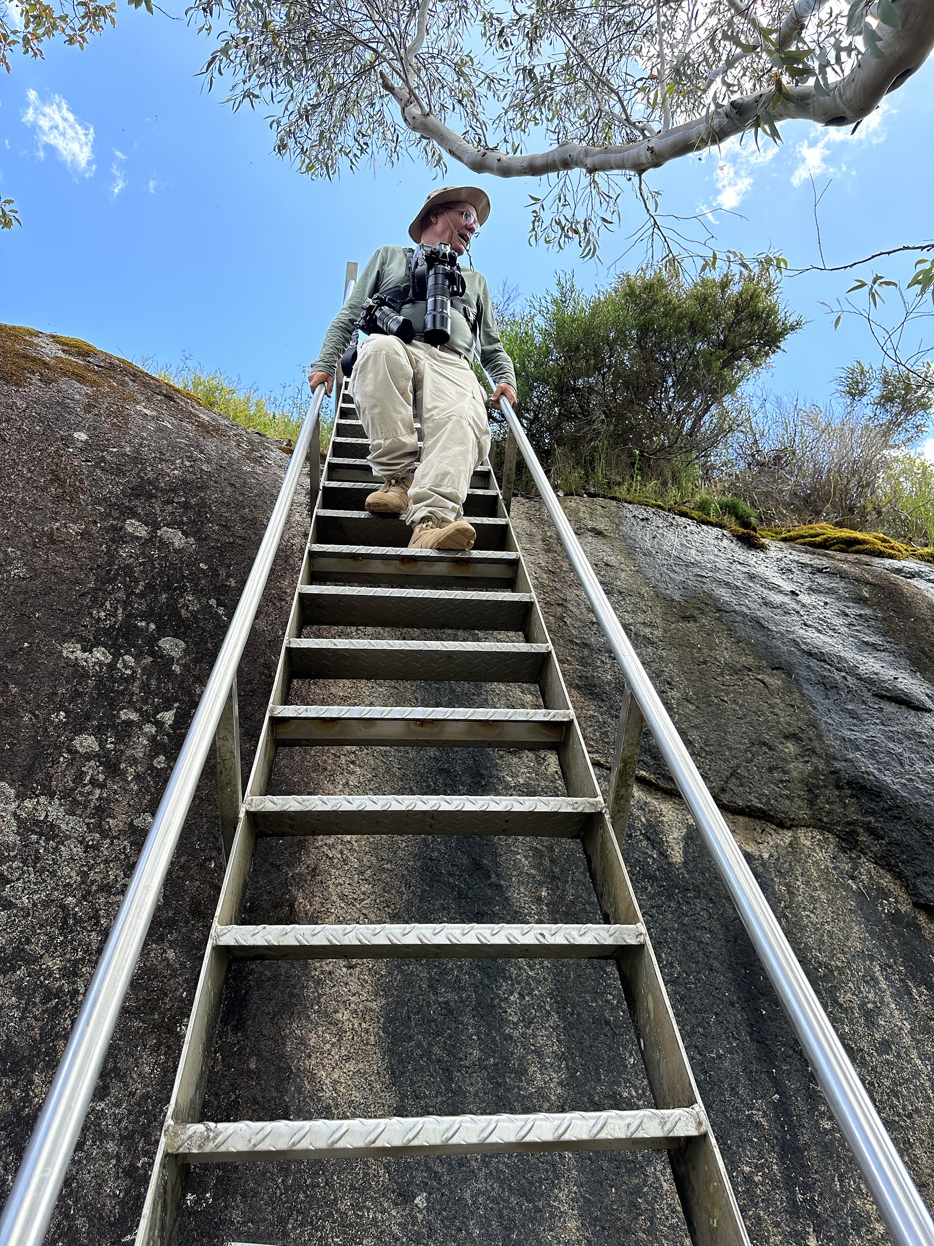
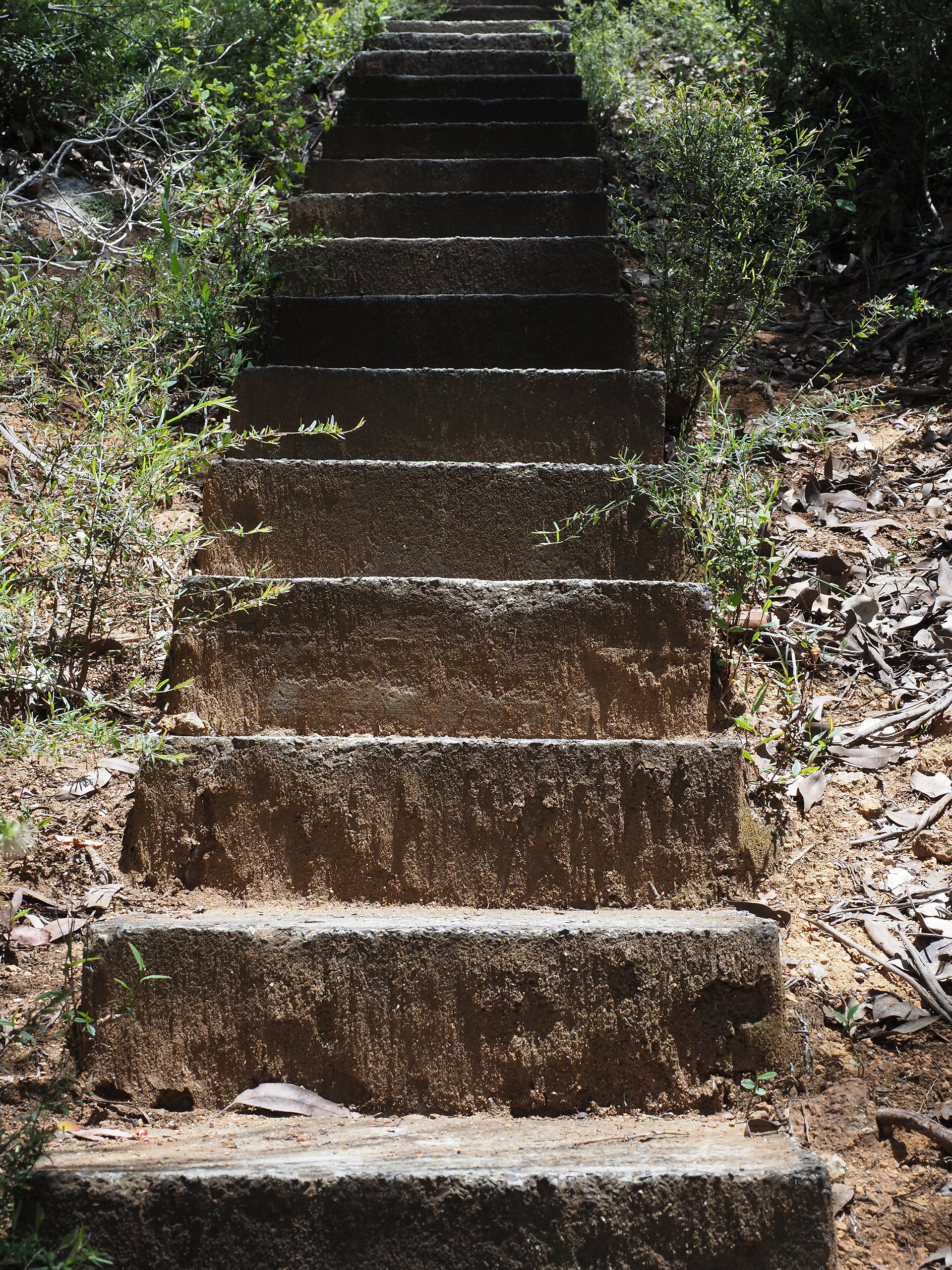
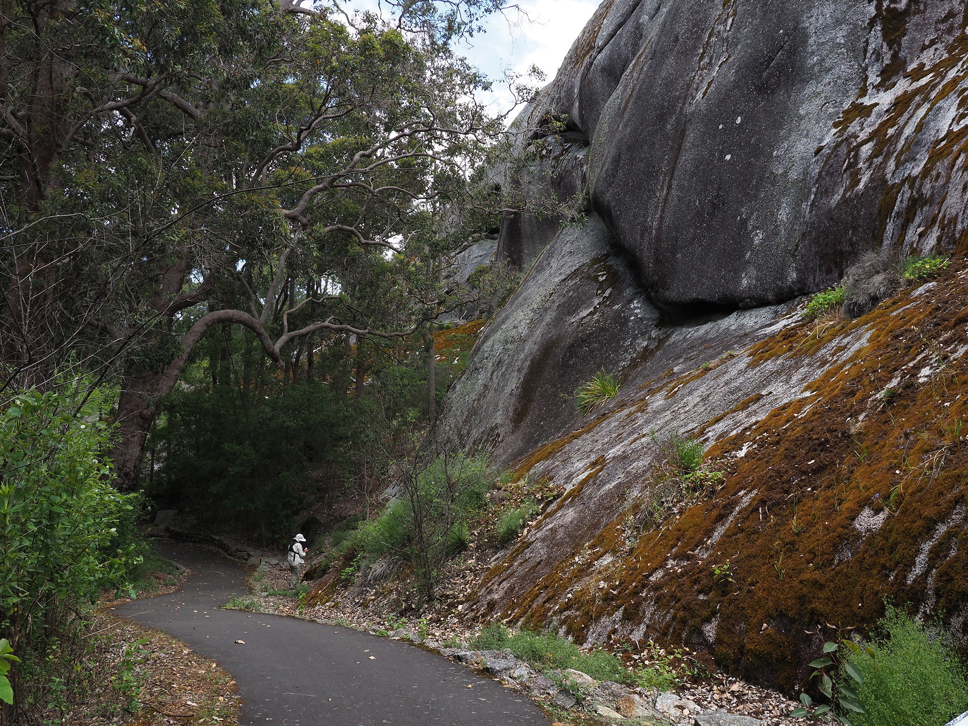
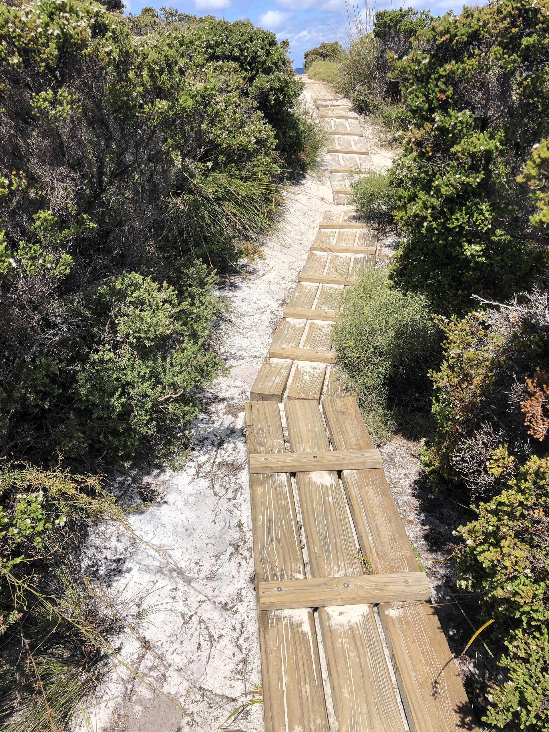
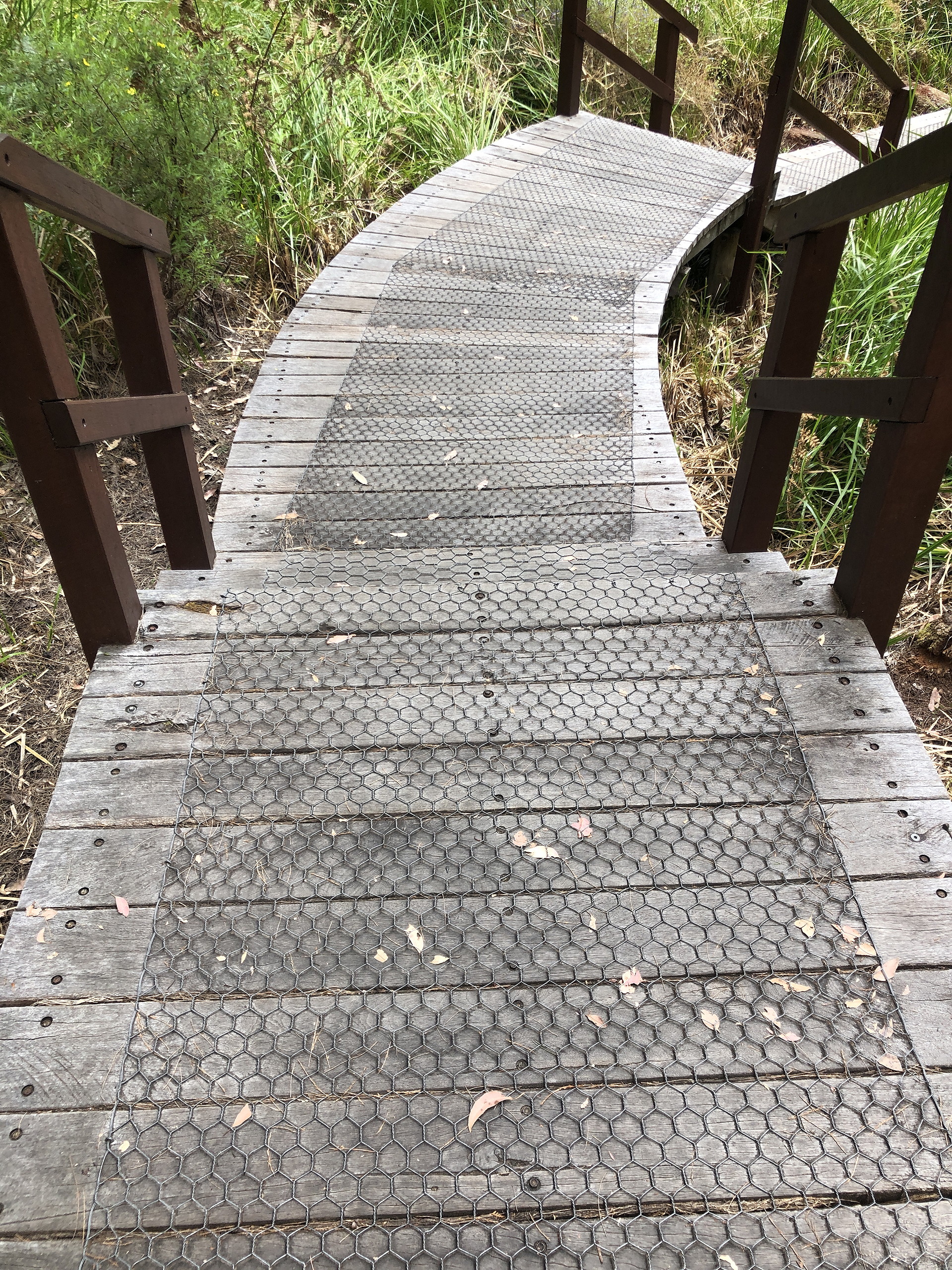
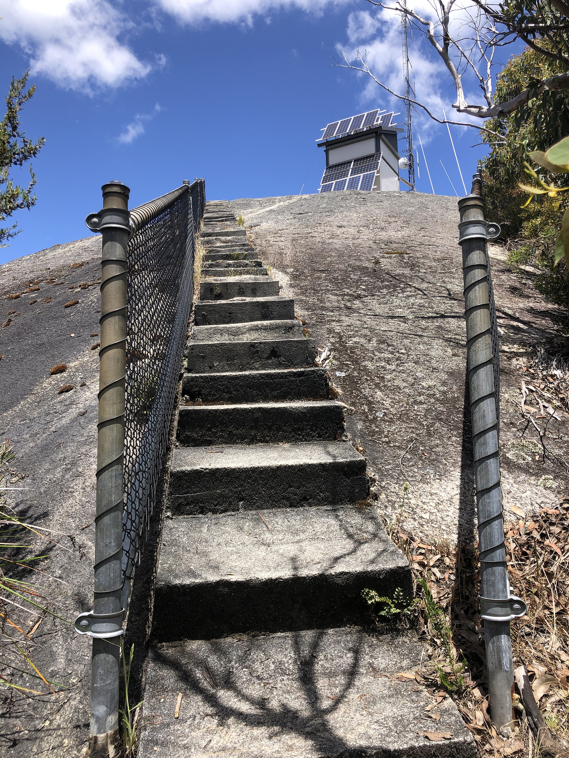
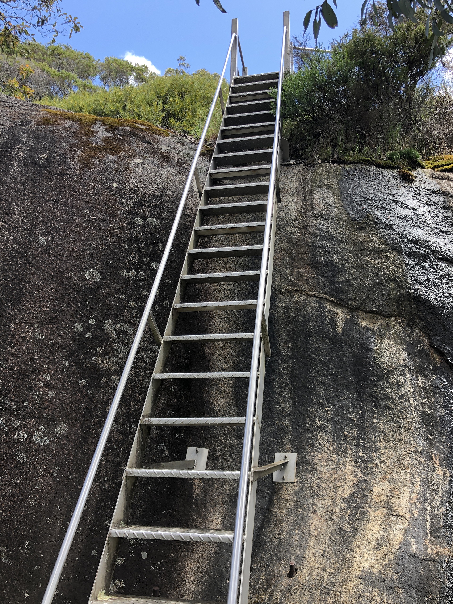
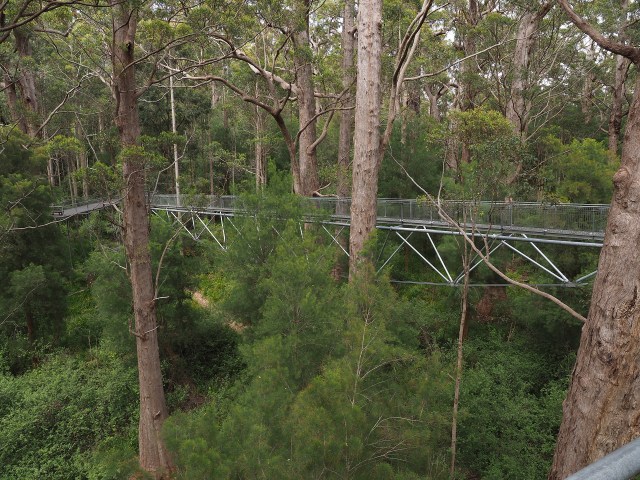
There are interesting trail features that are not commonly seen in the US parks – but probably should be. See the text accompanying the images.
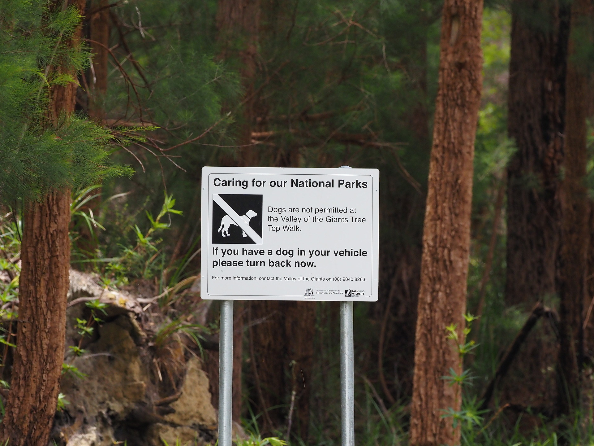
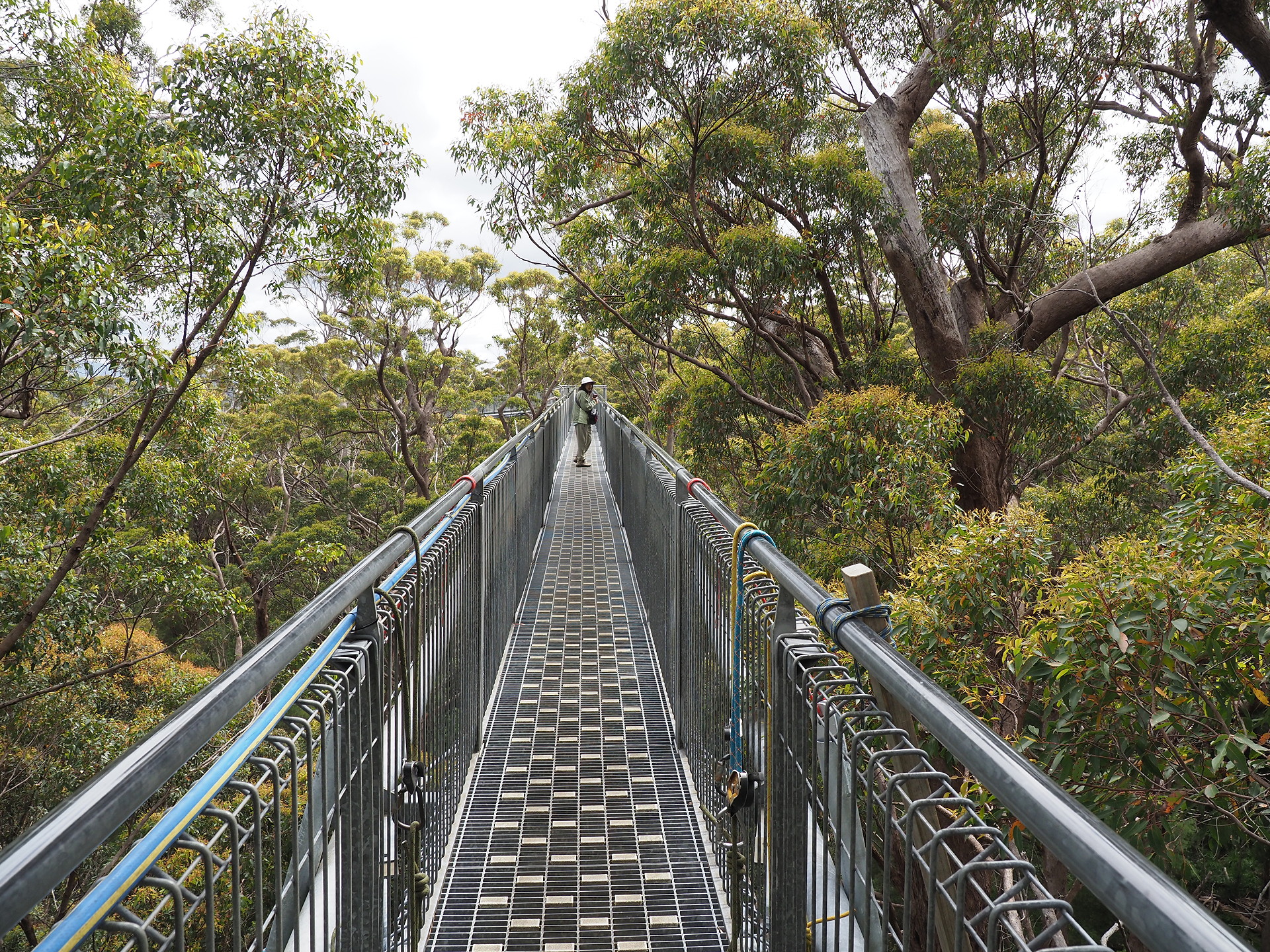
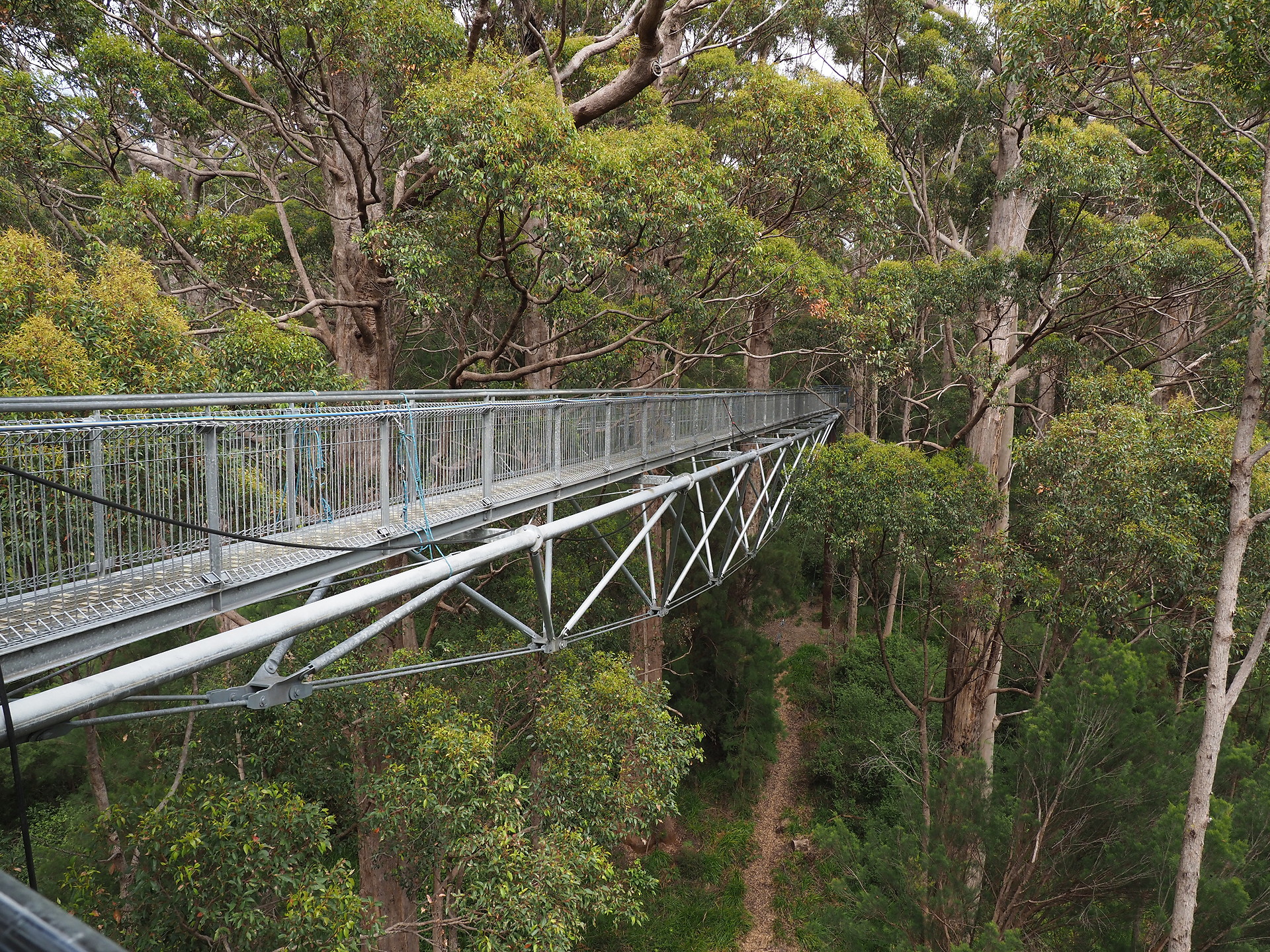
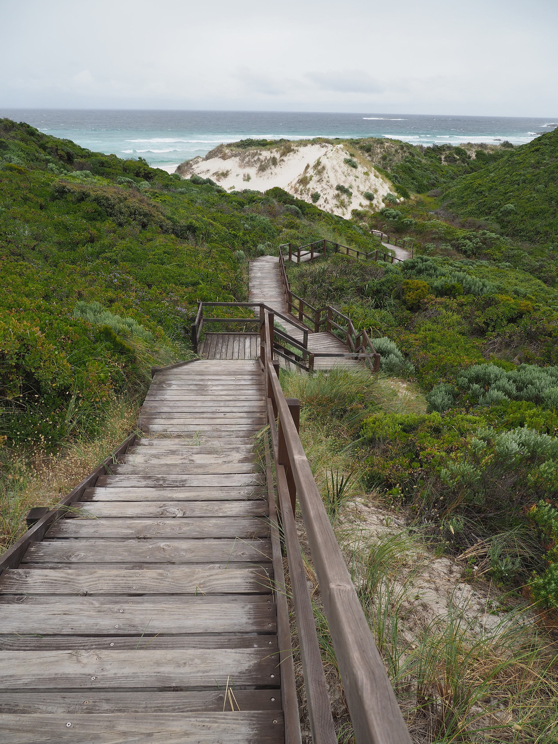
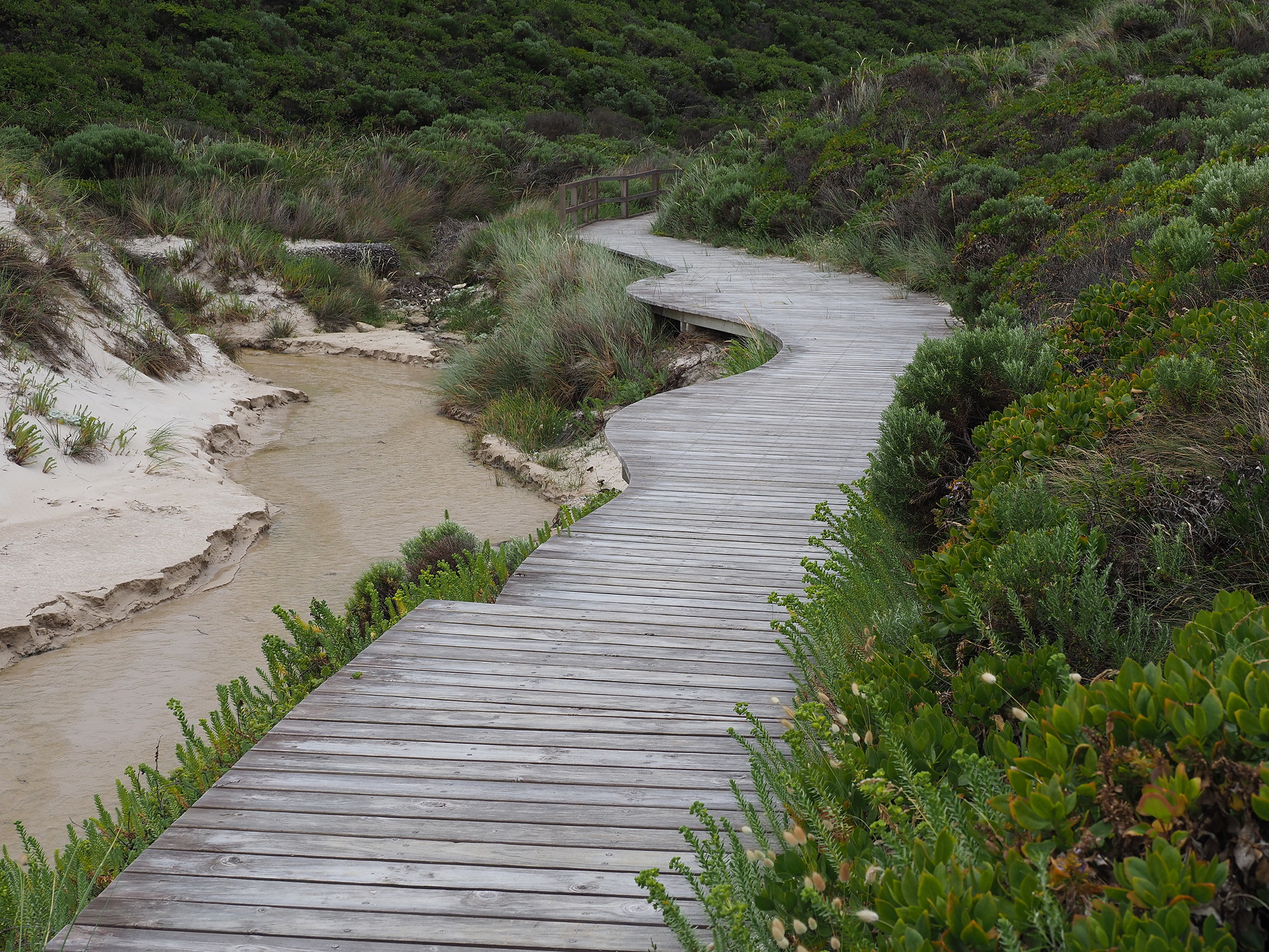
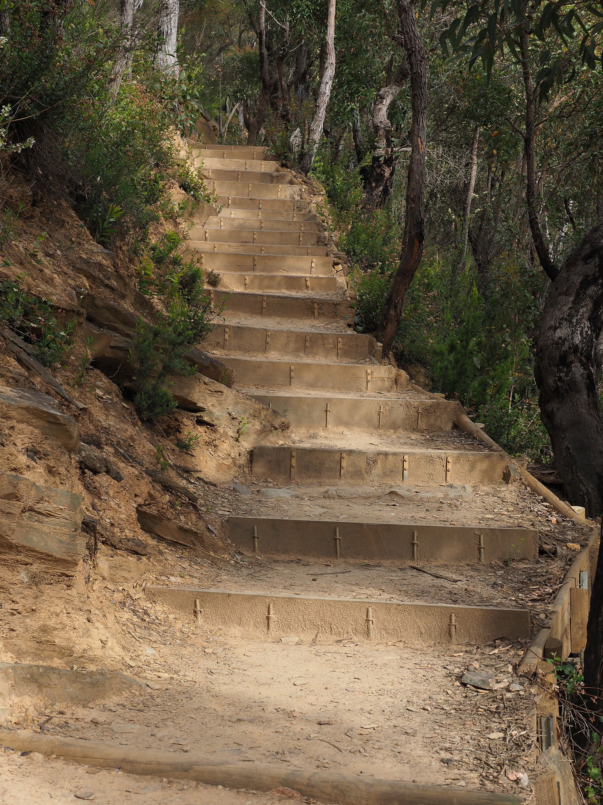
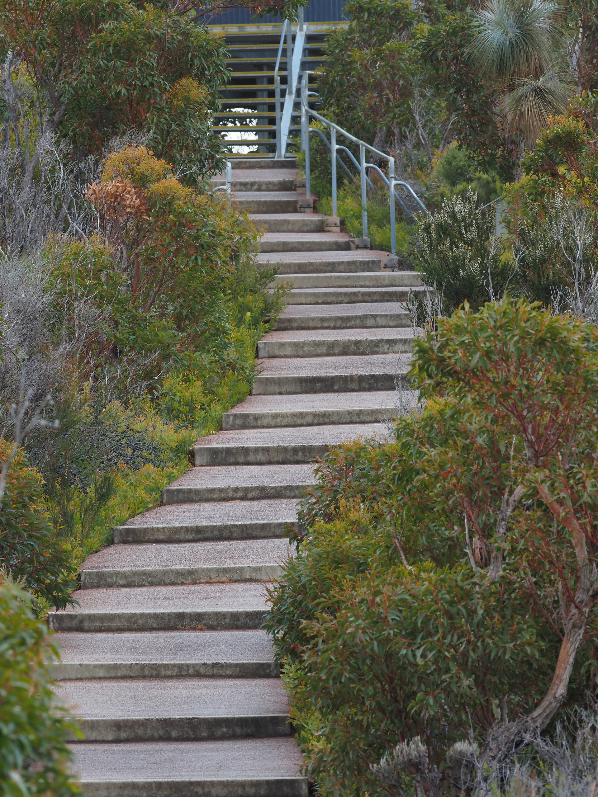
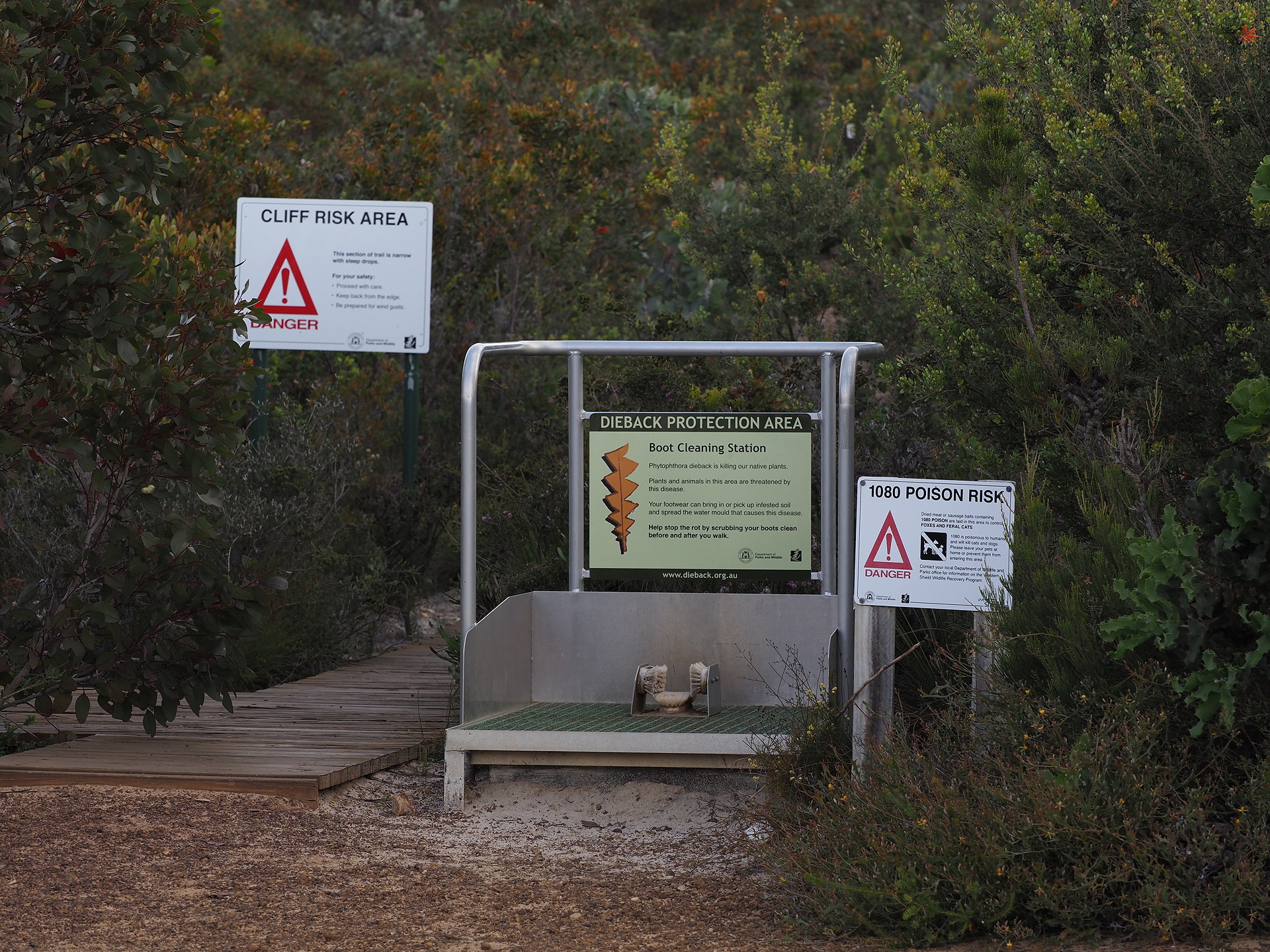

Plaques
Miscellaneous images
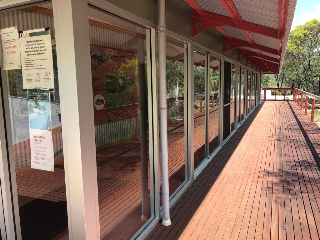
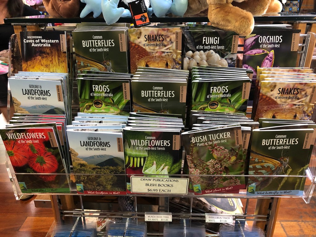
There are few images that don’t fit elsewhere, but have useful material to show.
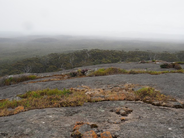
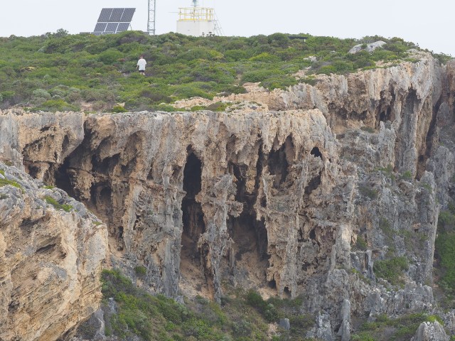
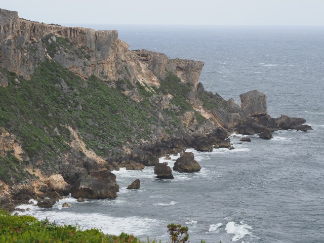
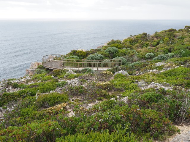
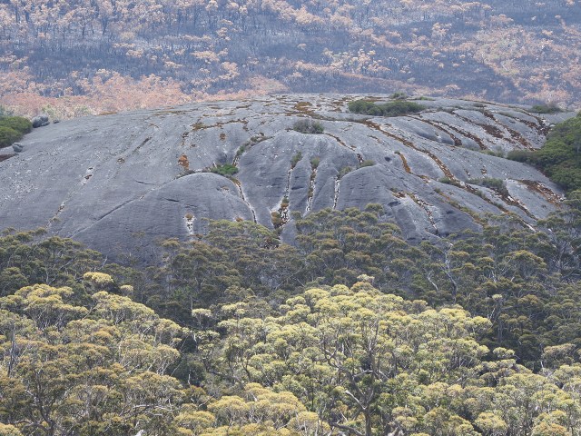
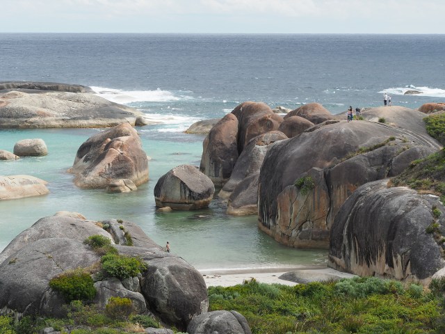
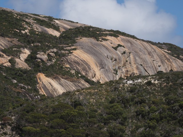
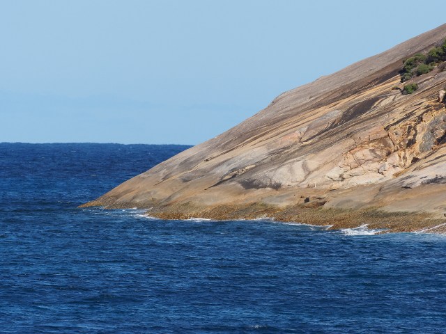
Landscapes
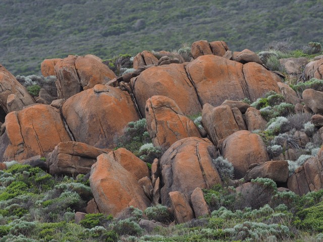
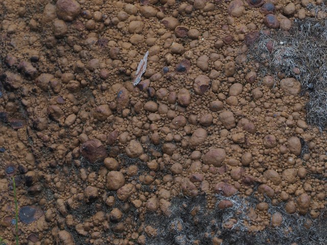
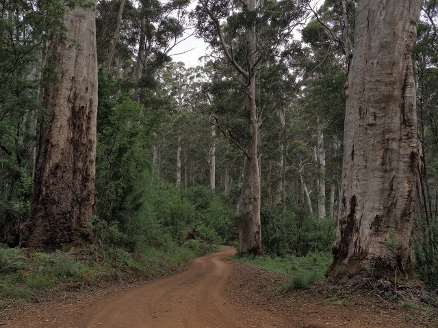
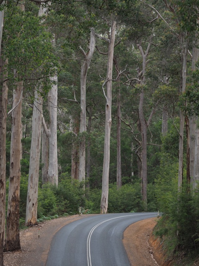
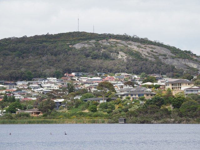
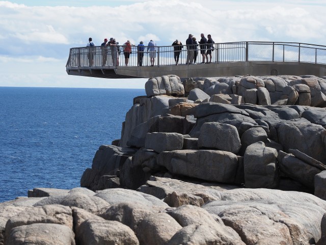
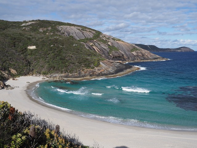
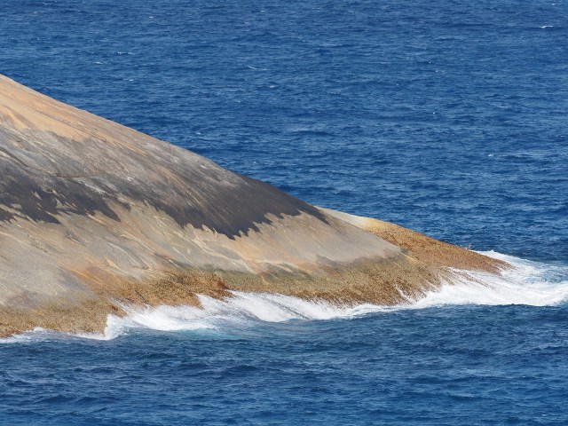
Key botanical features
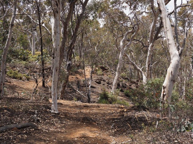
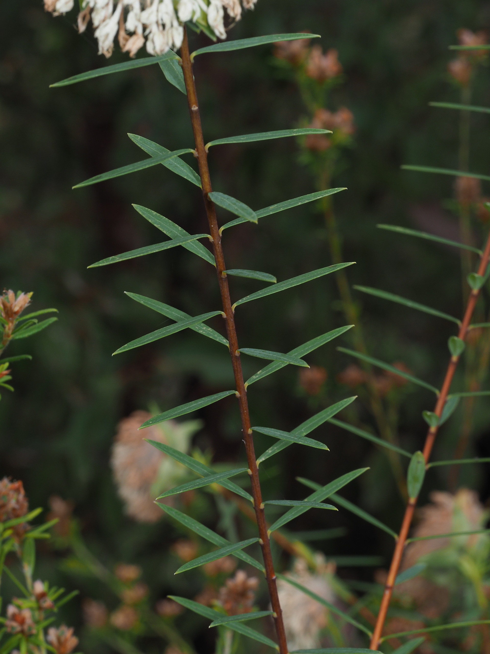
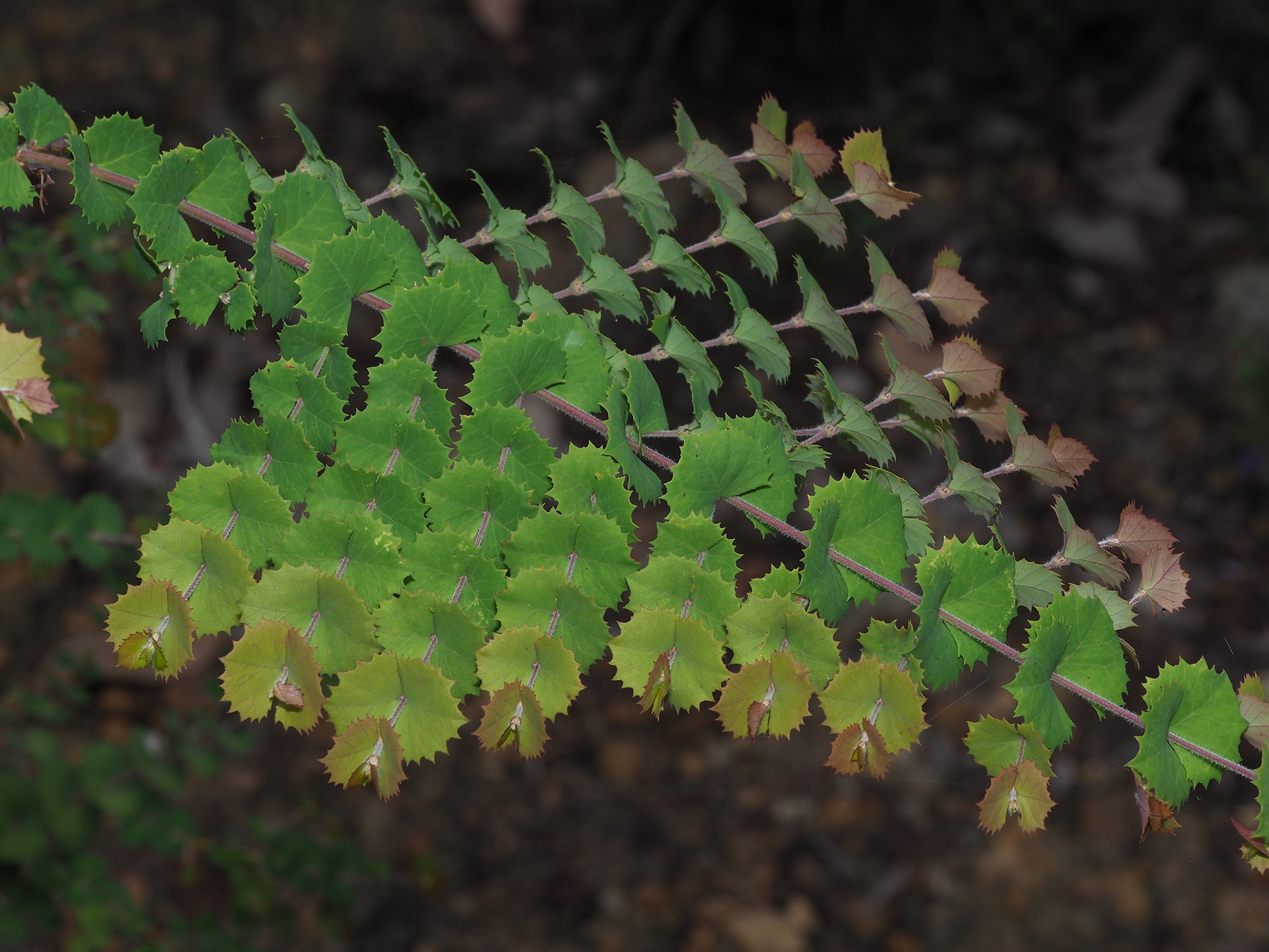
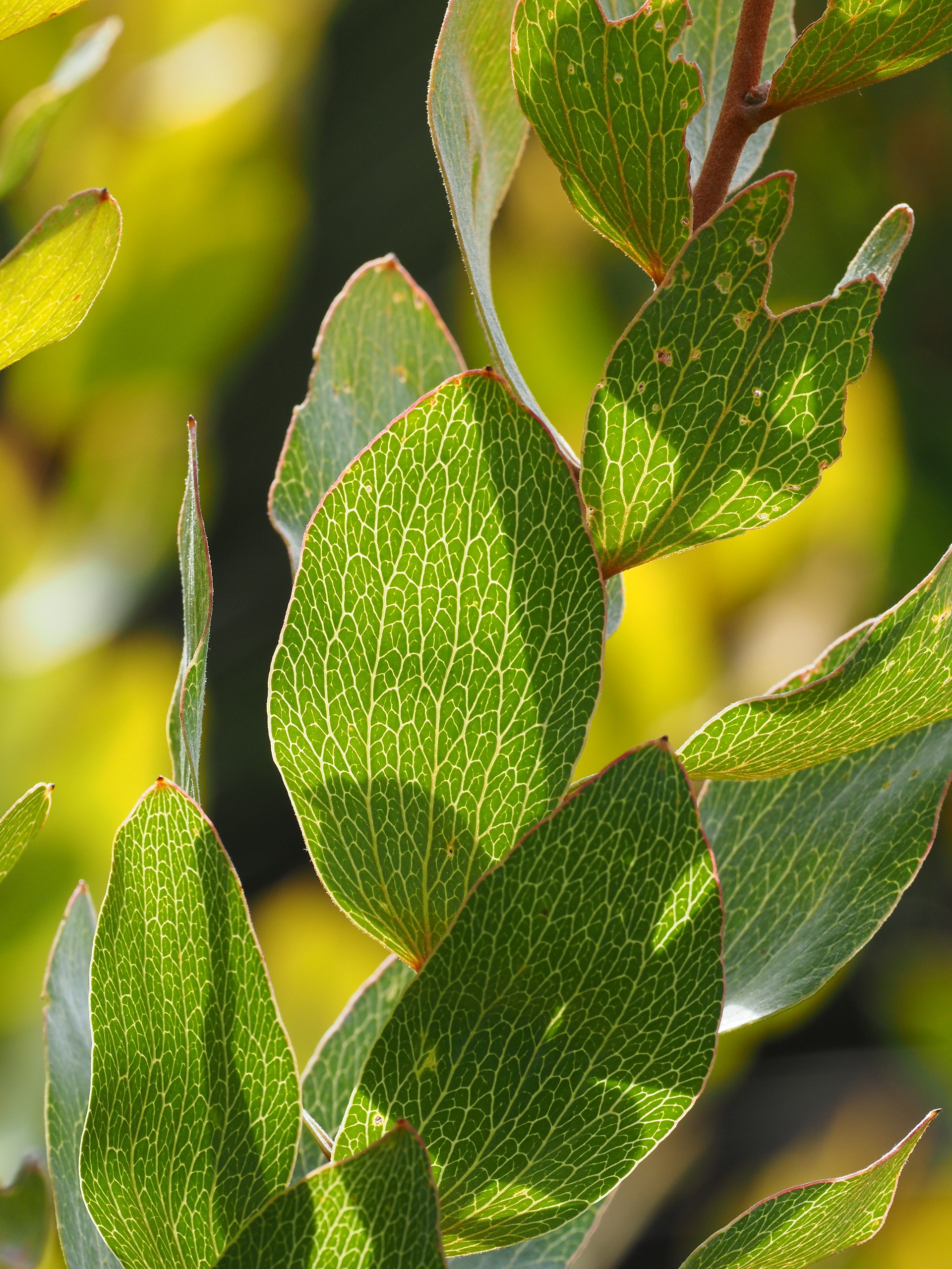
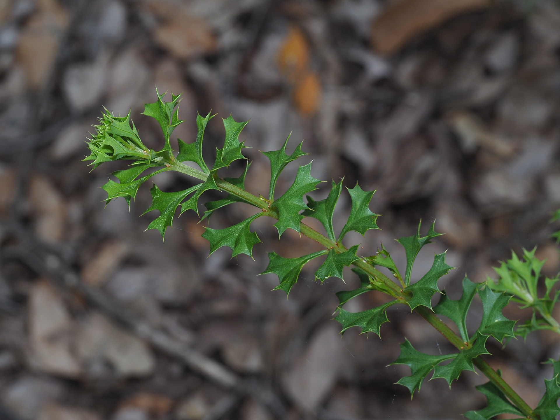
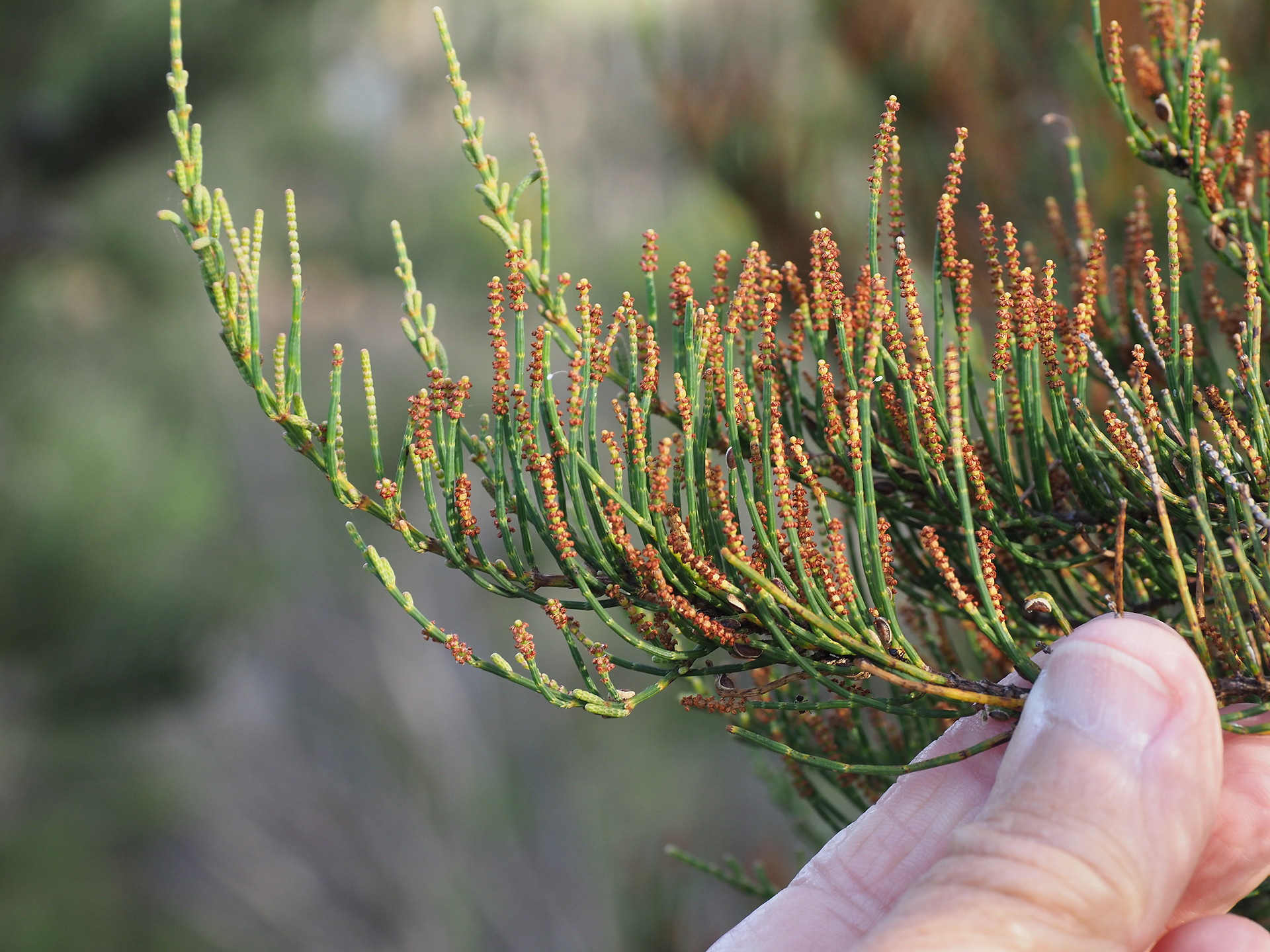
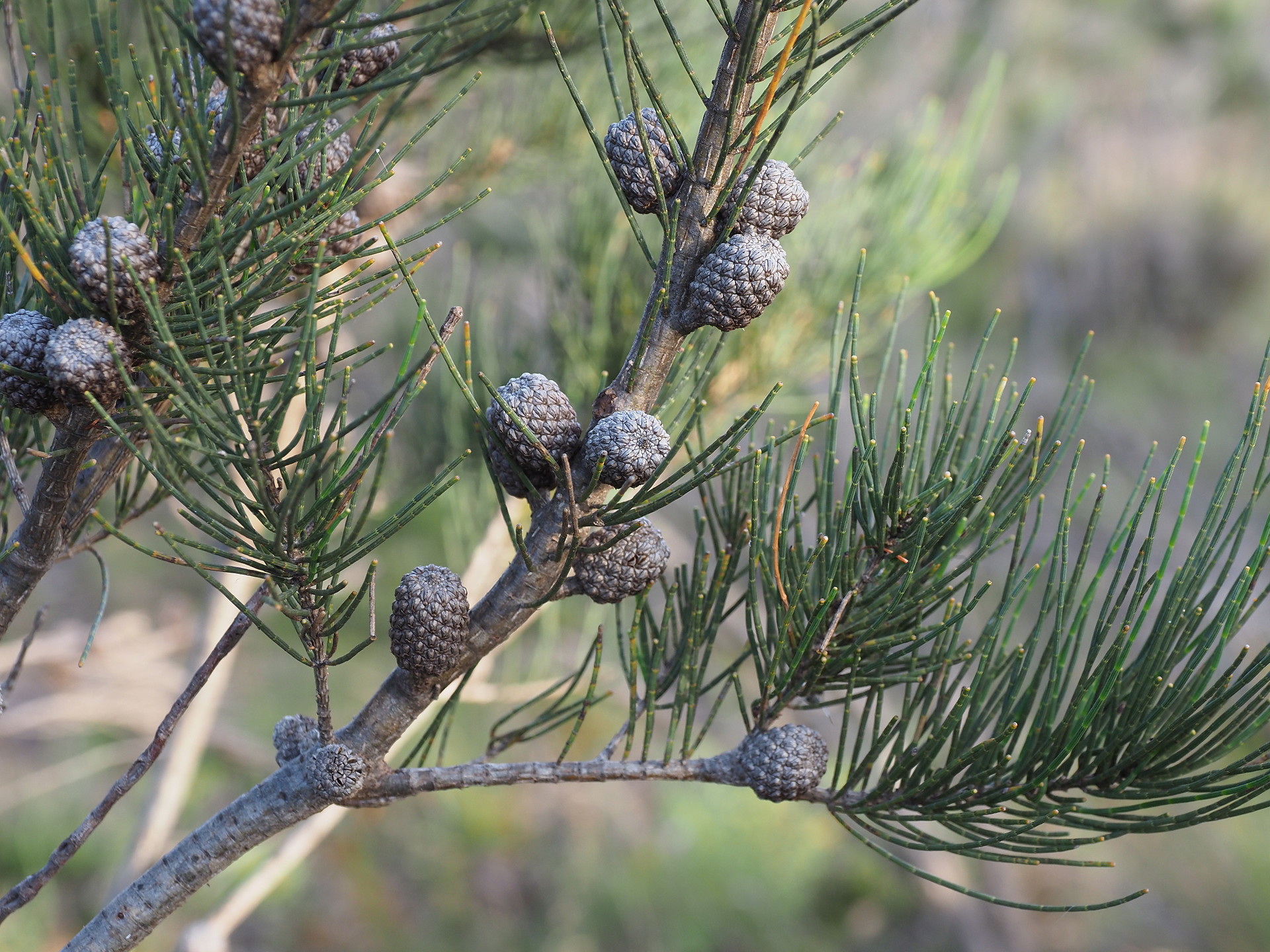
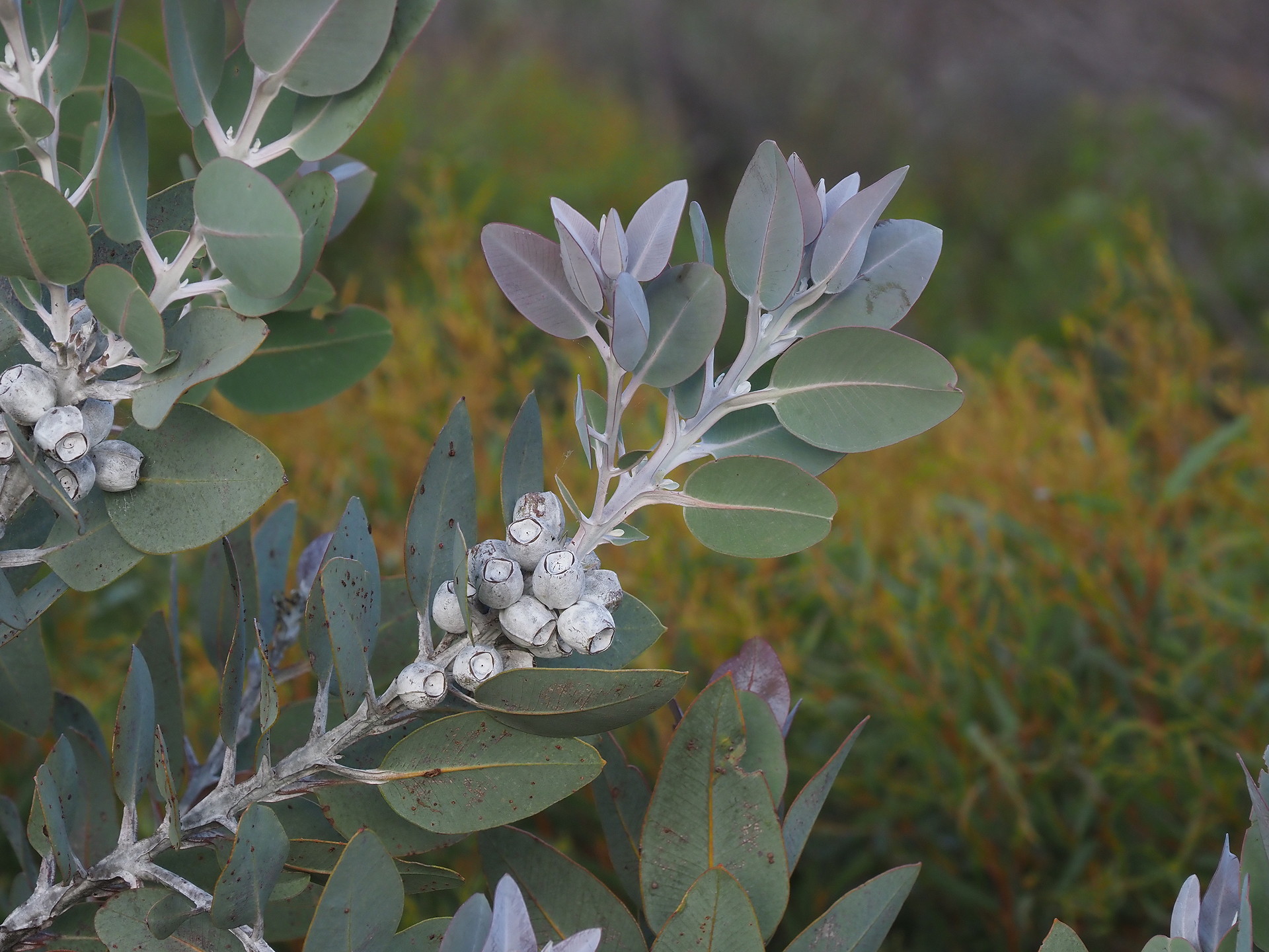
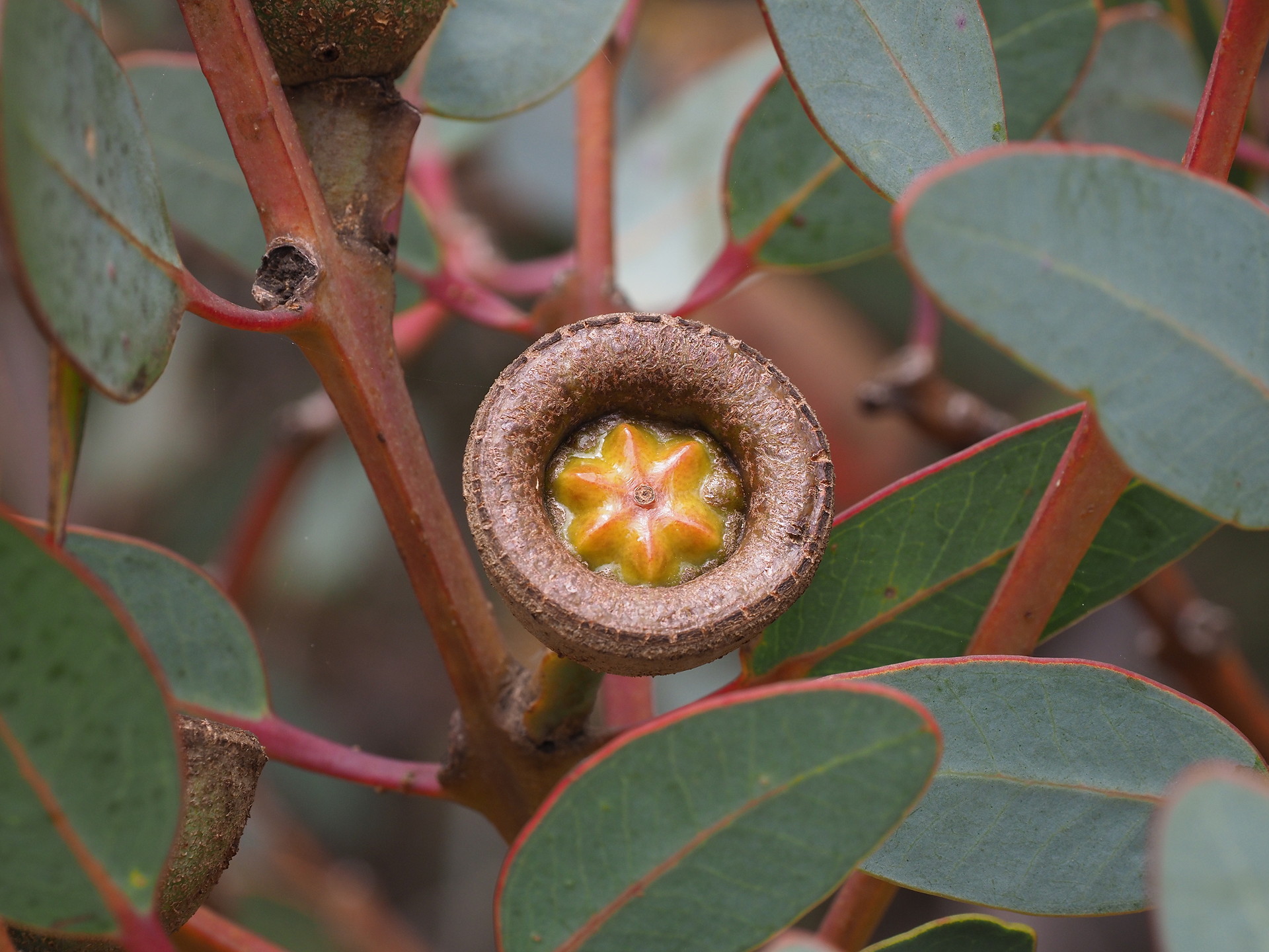
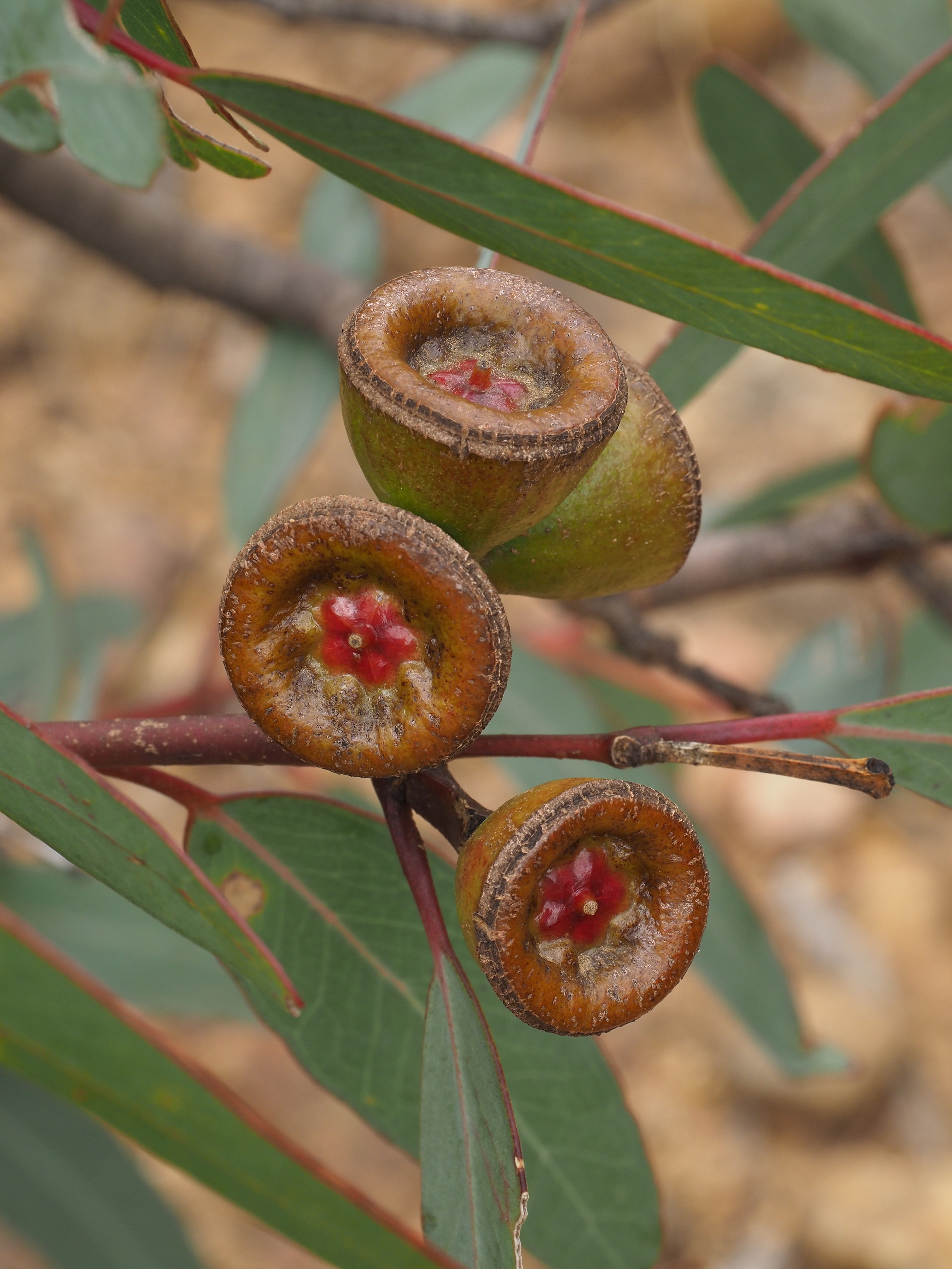
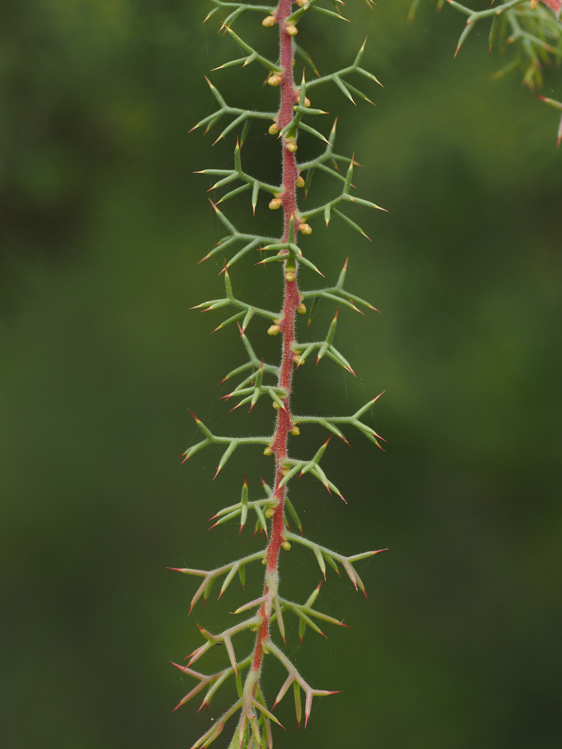
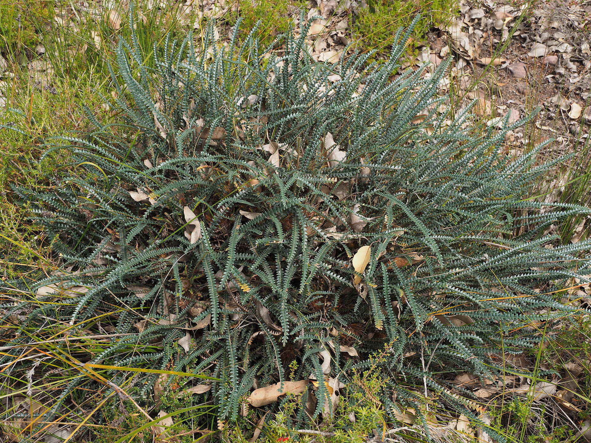
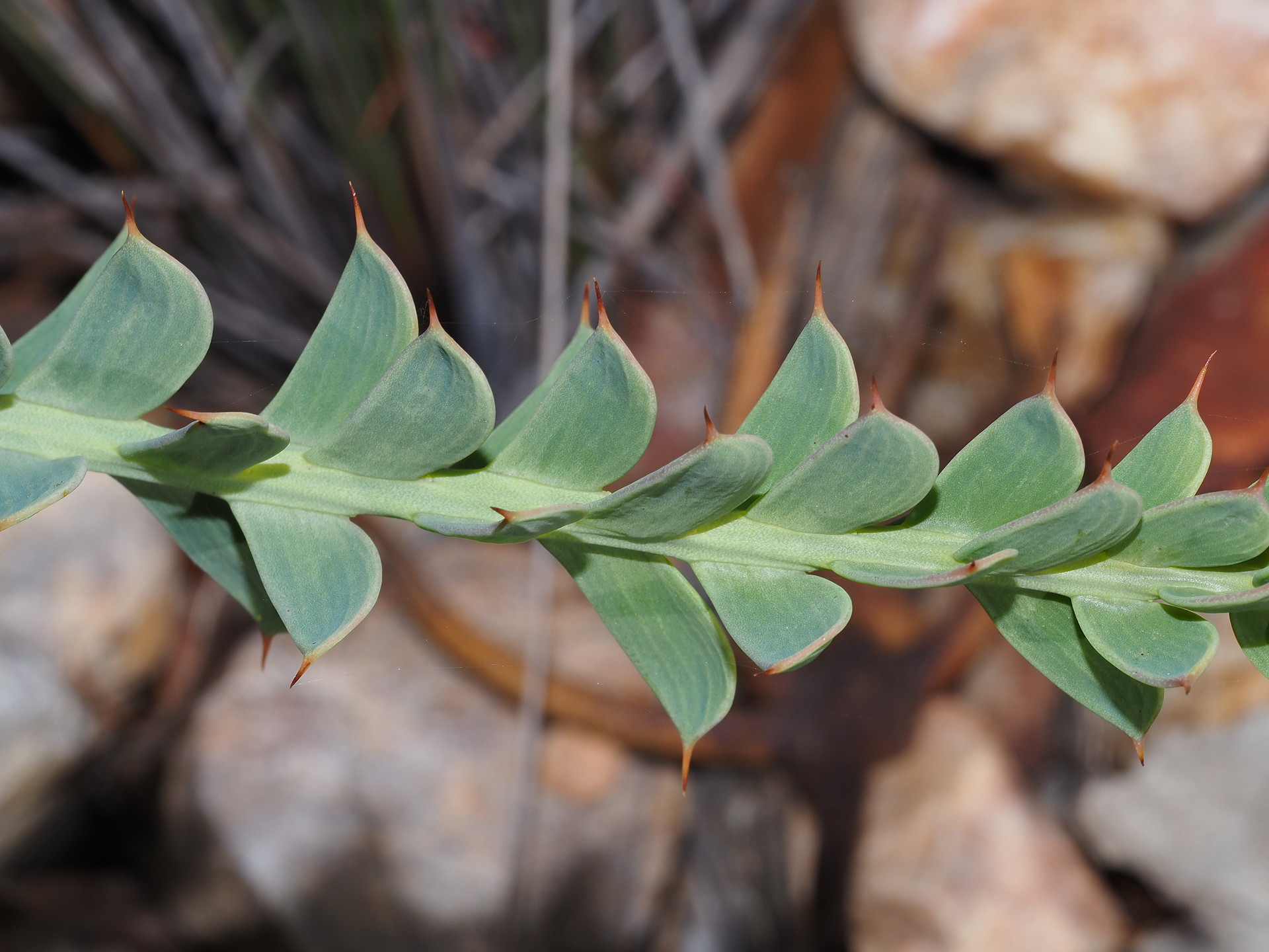
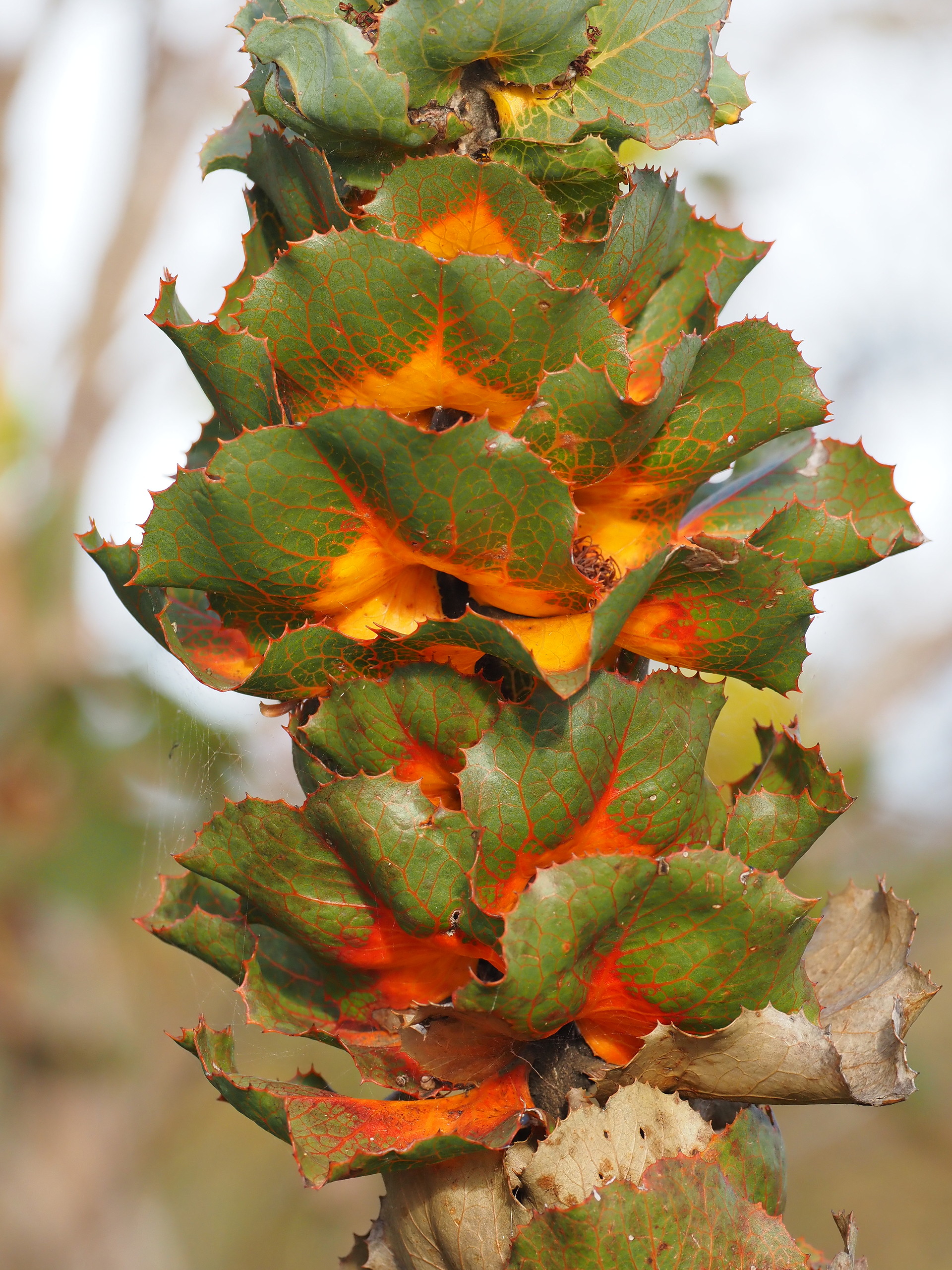
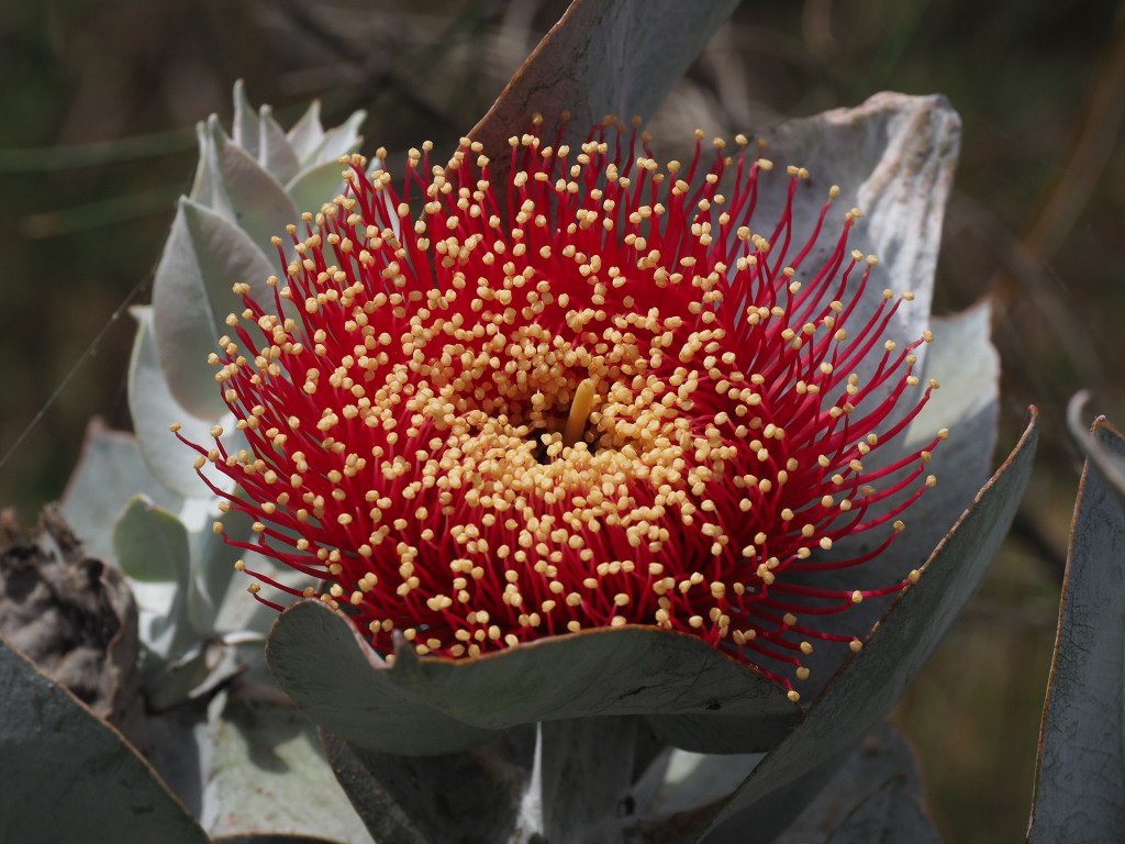
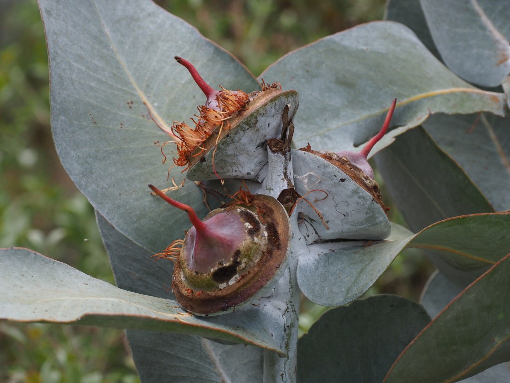
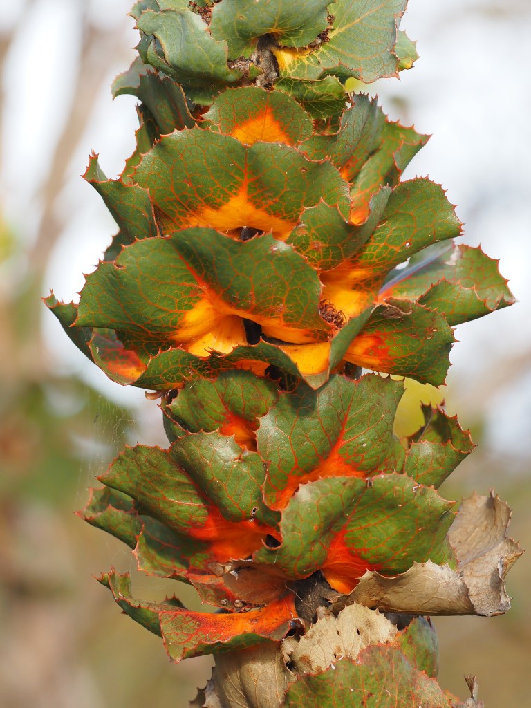
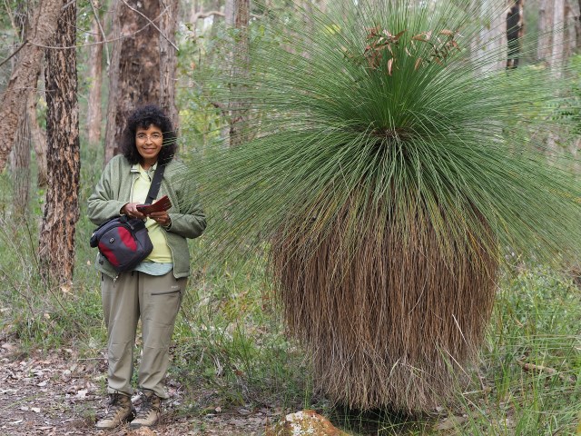
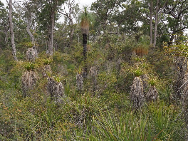
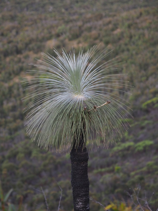
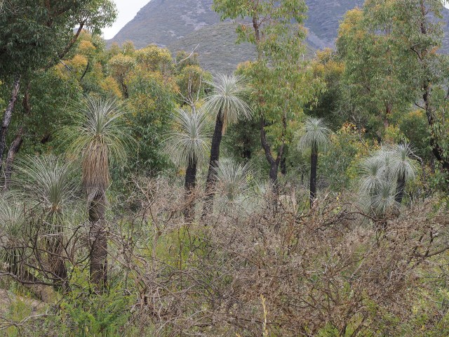
This was our second trip to southwestern Australia. for any botanically inclined individual, a first visit to the region would be overwhelming. on our first visit there were times and places where we could not identify what we were looking at even to the family. Everything was very different looking. this was especially true of the leaves of the many shrubs. Although they have similar sclerophyllous texture to many species found in the California chaparral or in the South African fynbos, their shapes were very different.
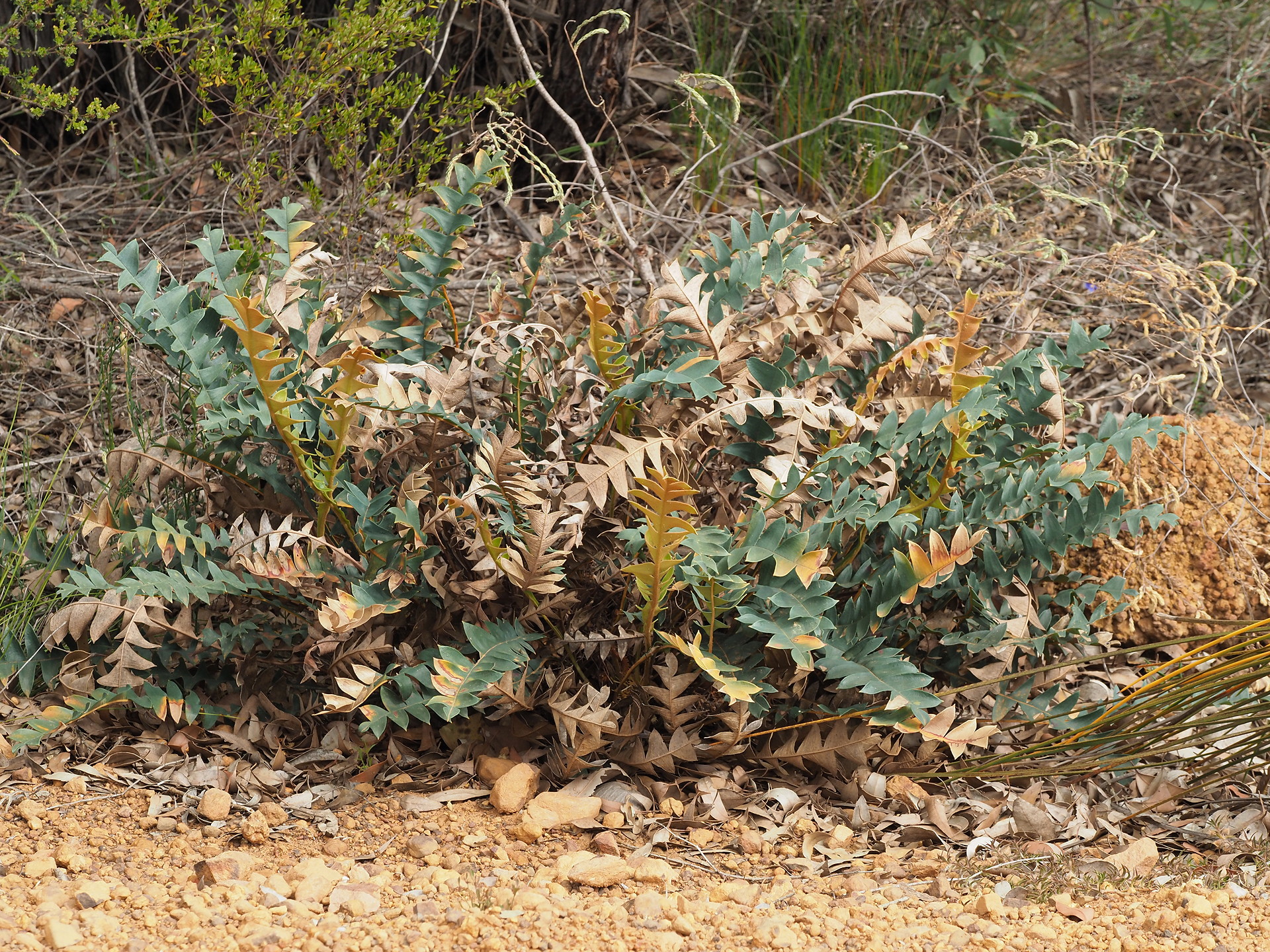
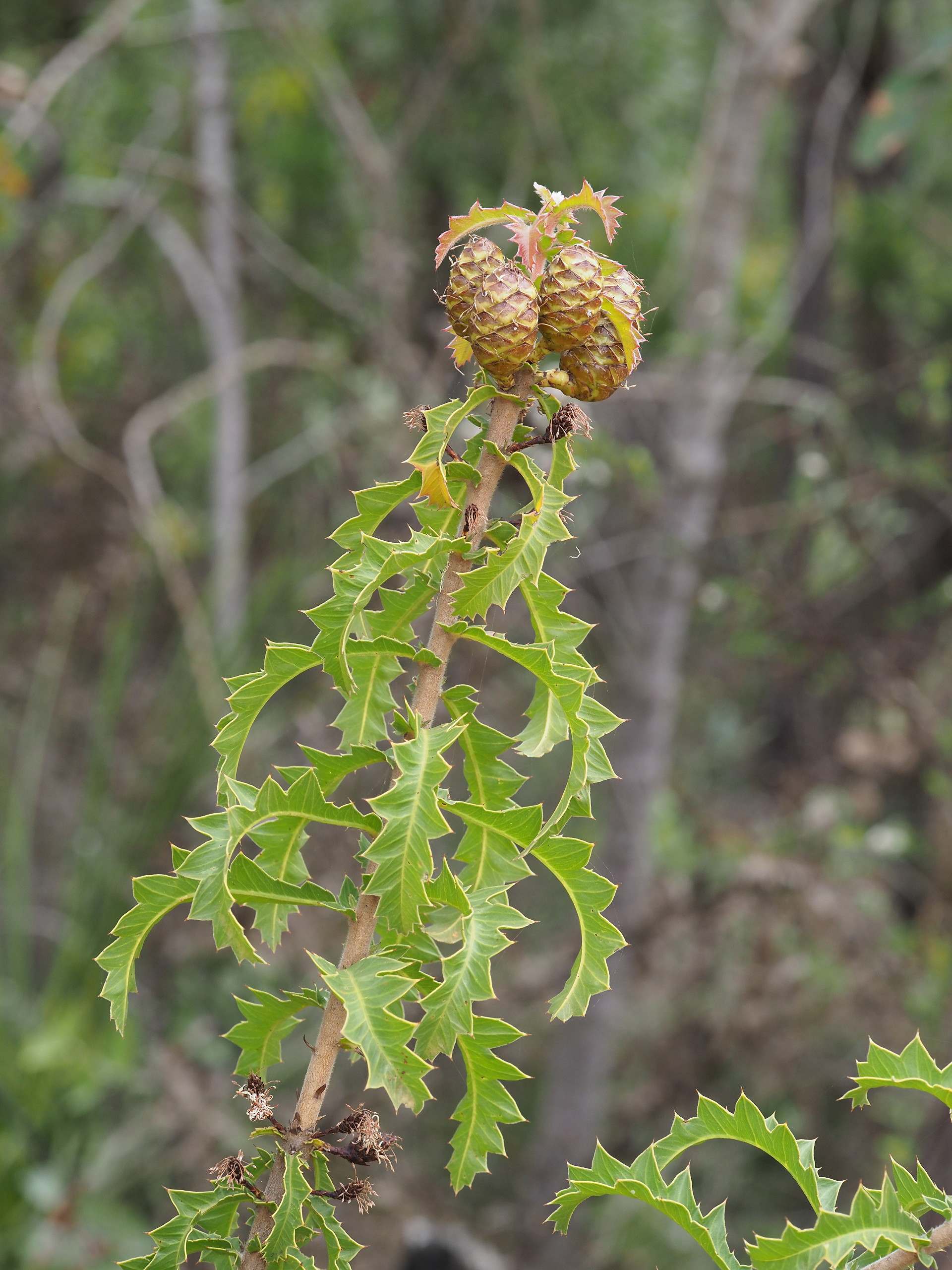
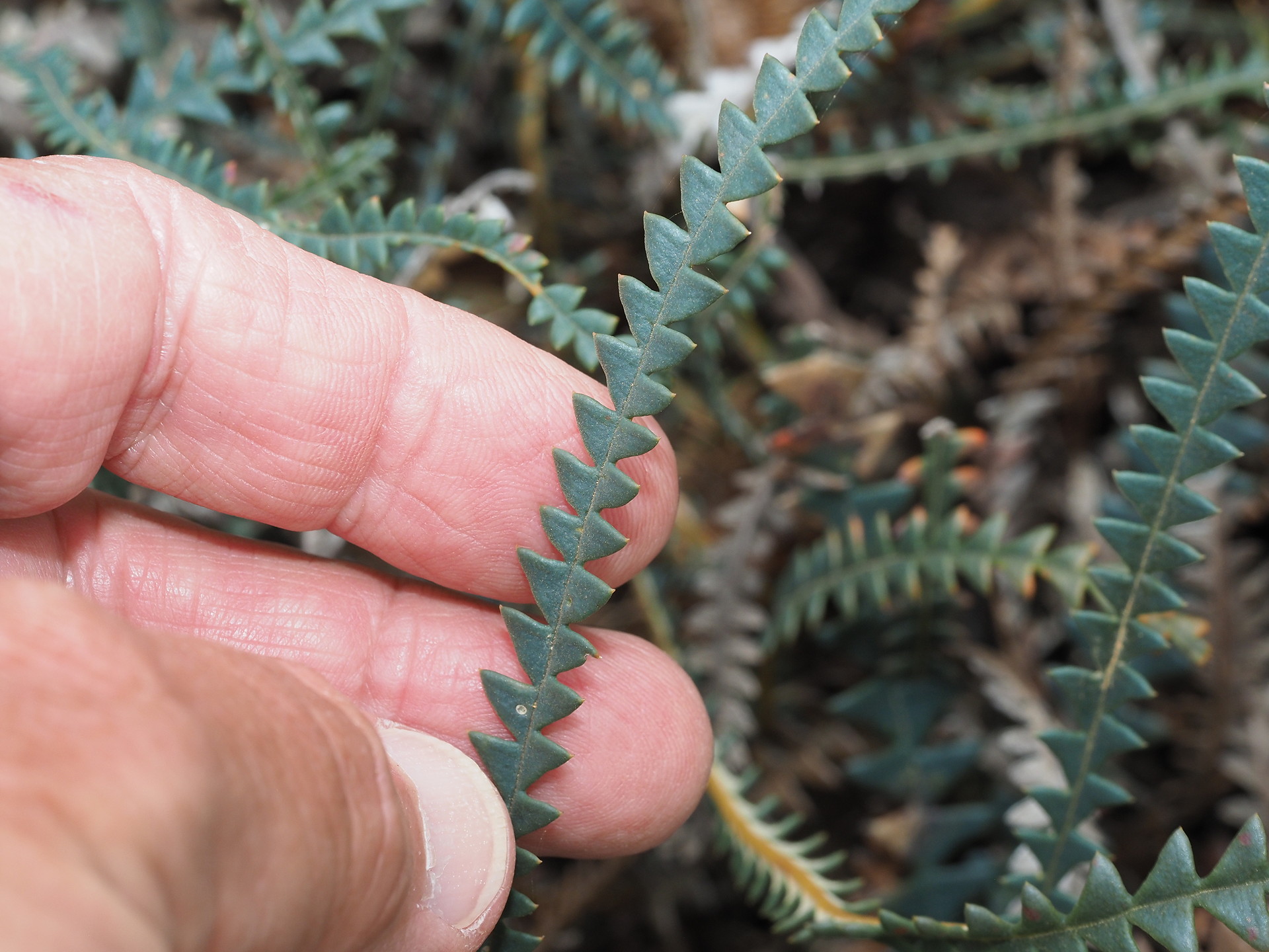
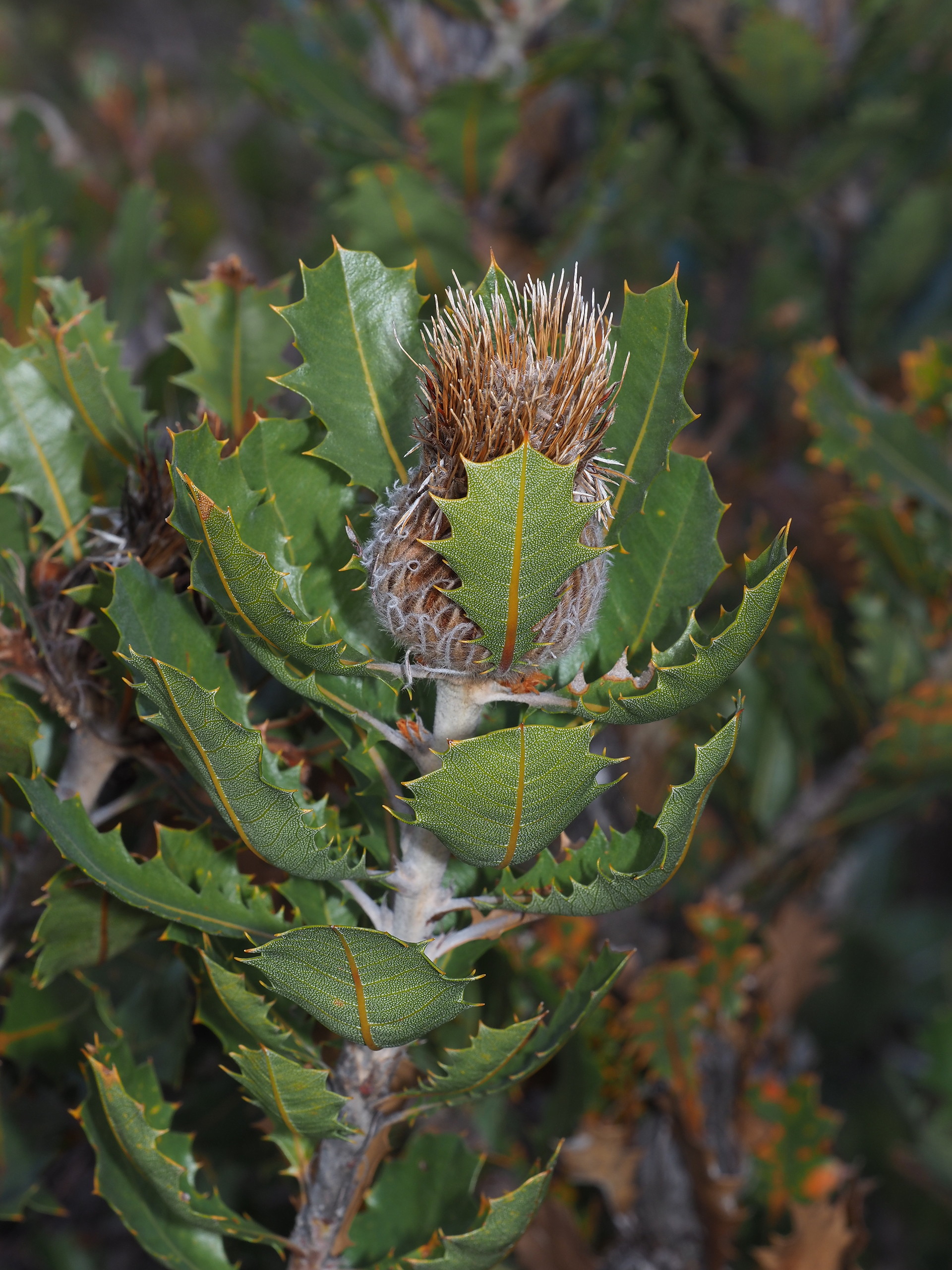
Some interesting leaf forms
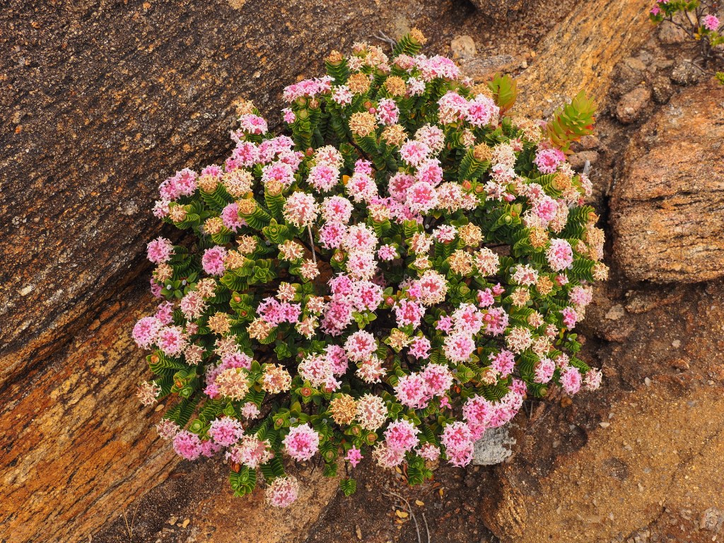
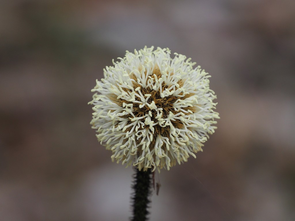
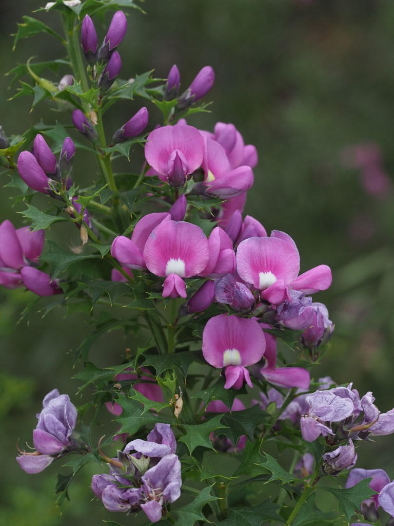
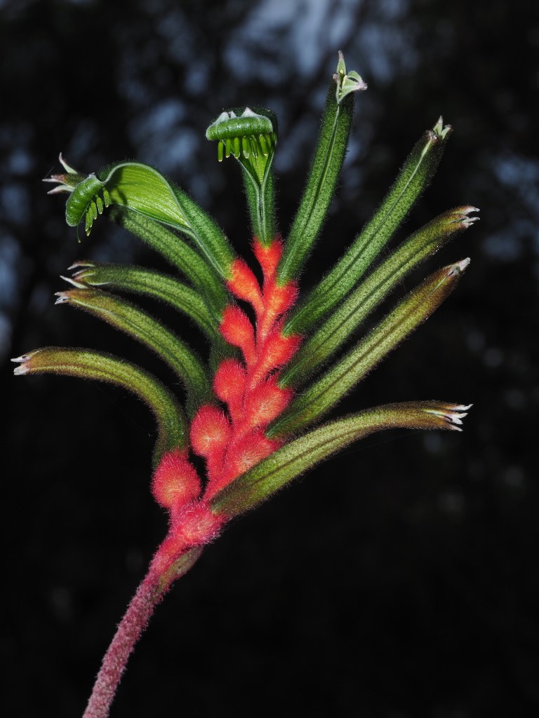
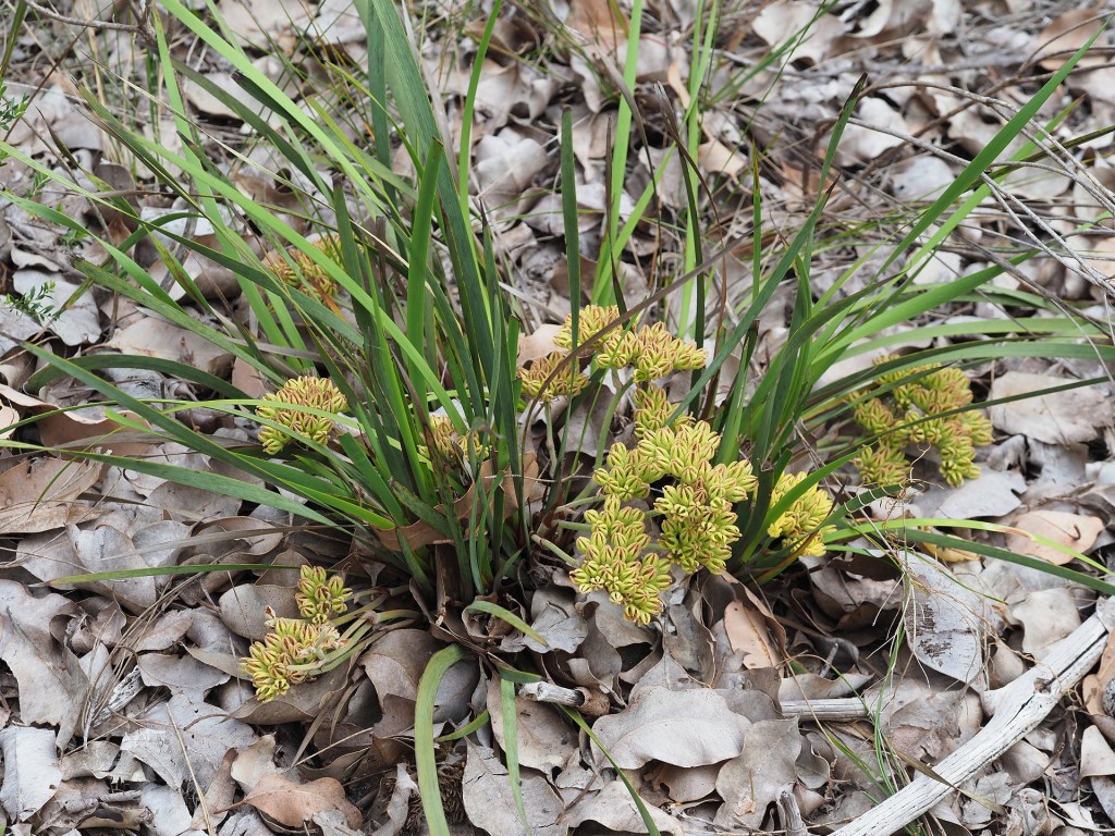
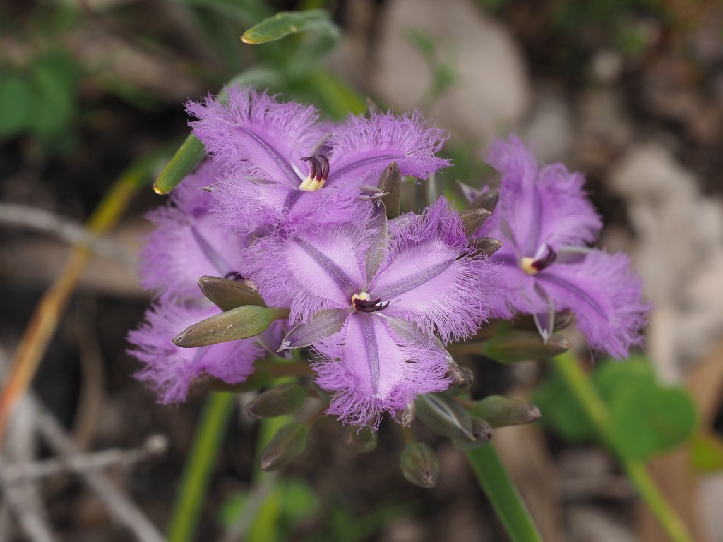
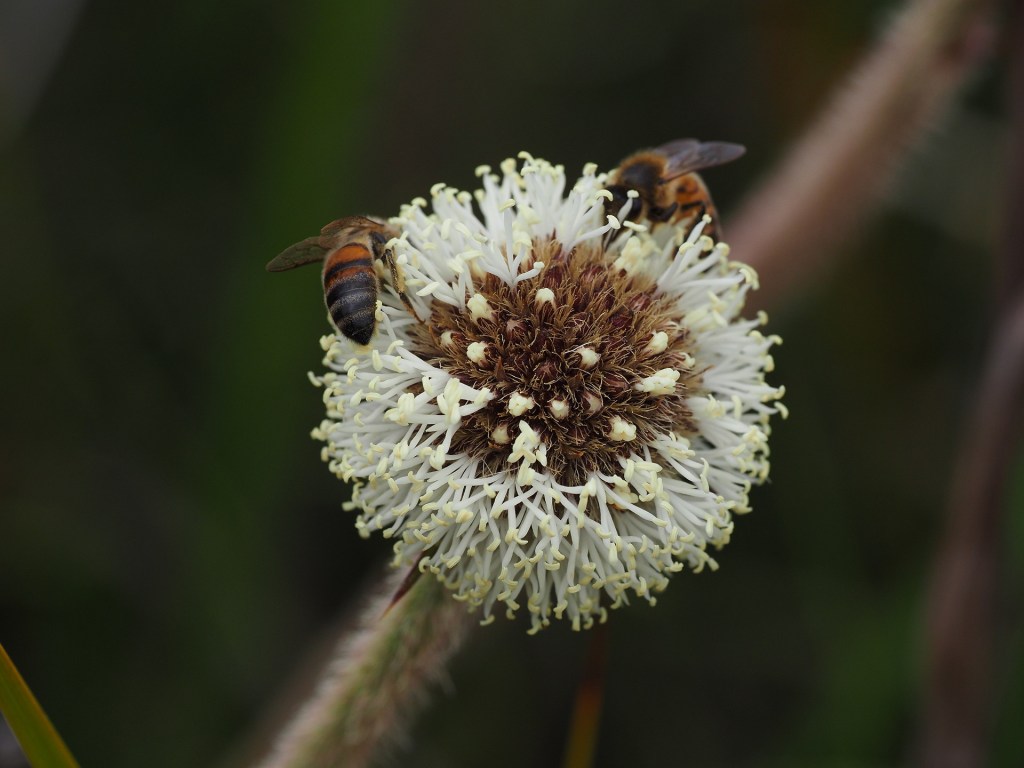
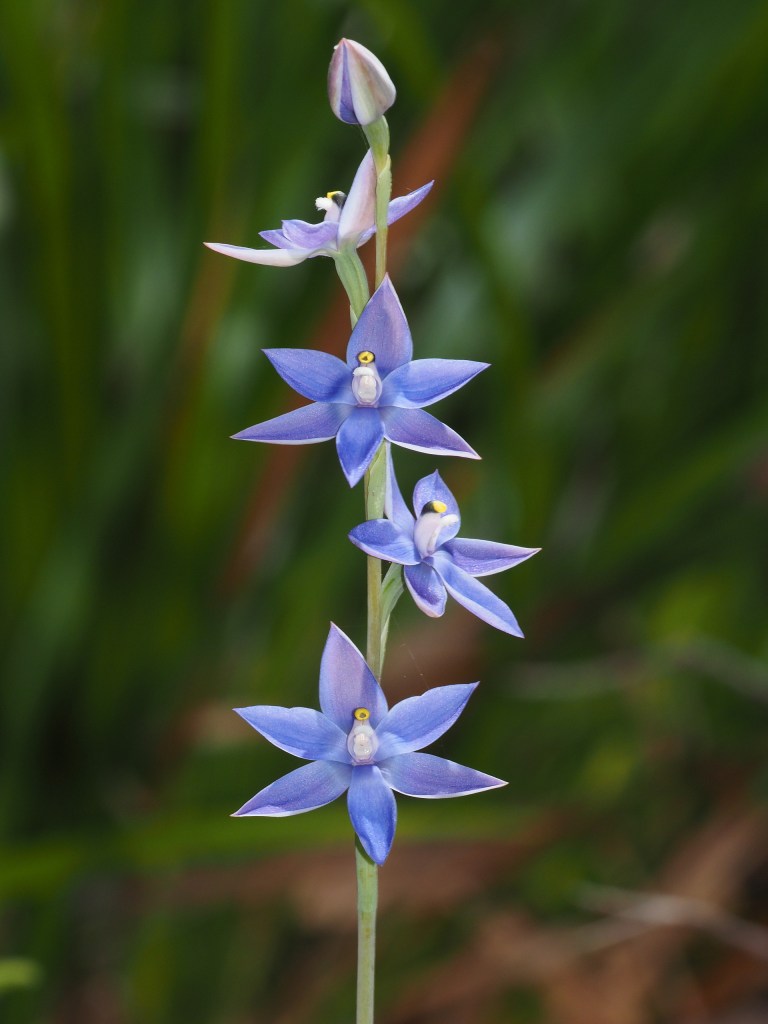
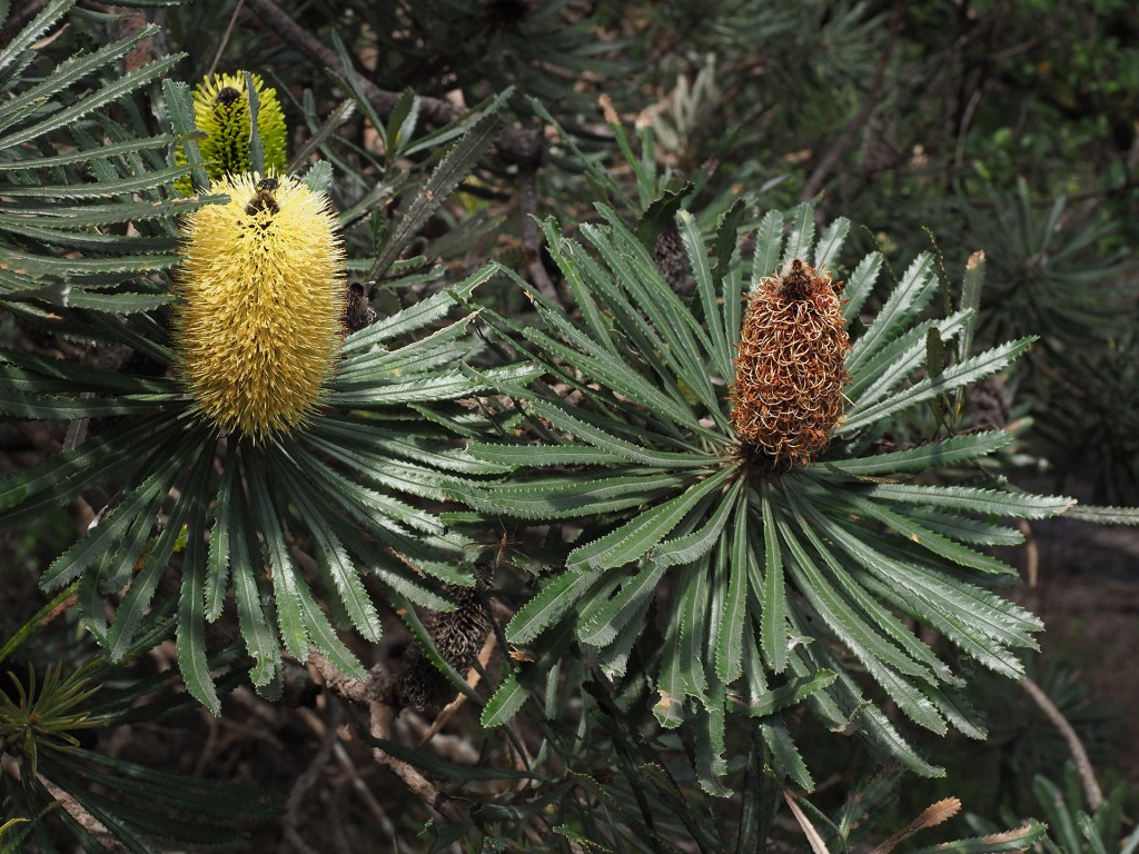
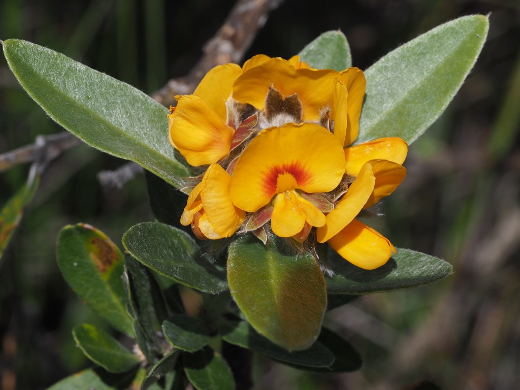
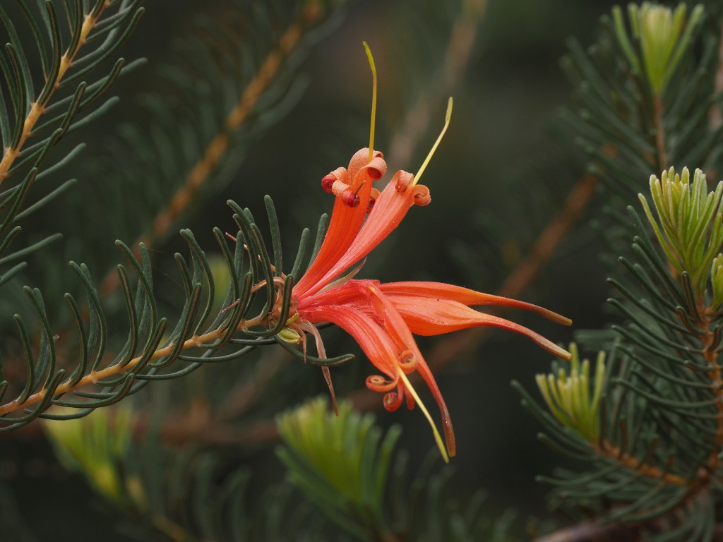
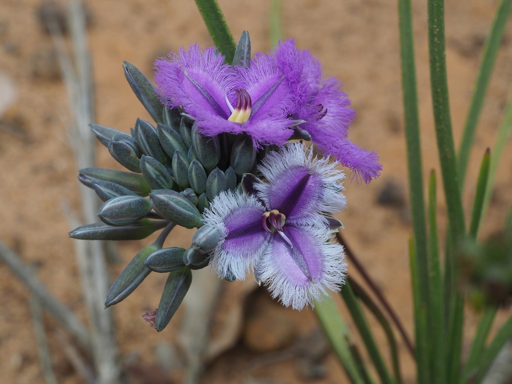
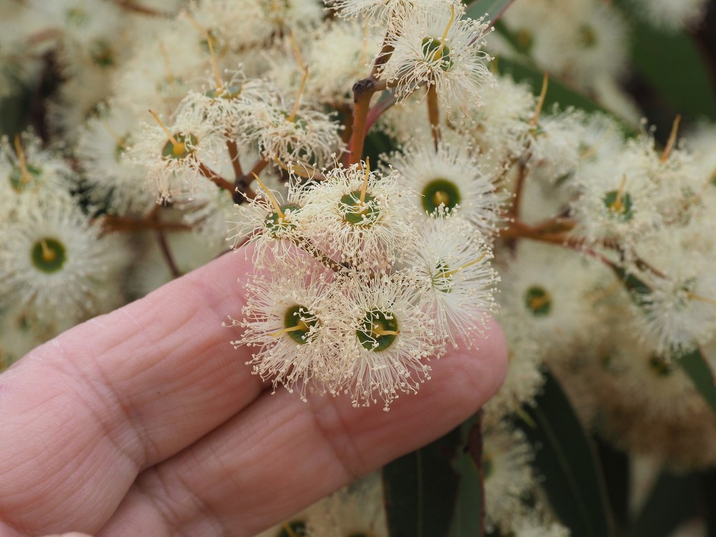
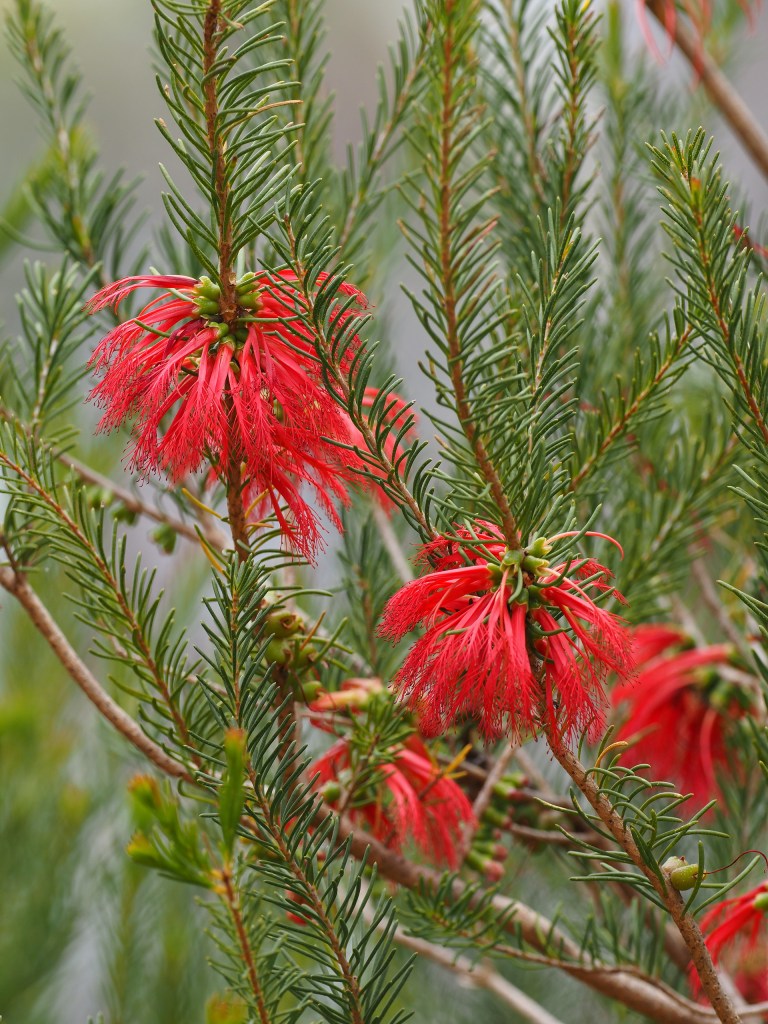
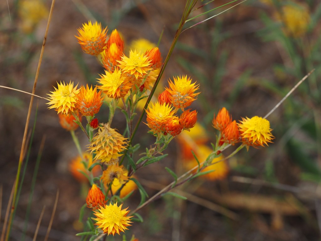
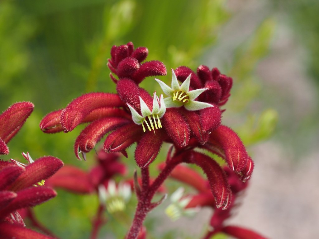
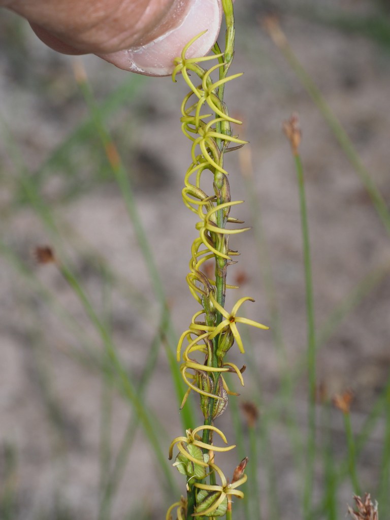
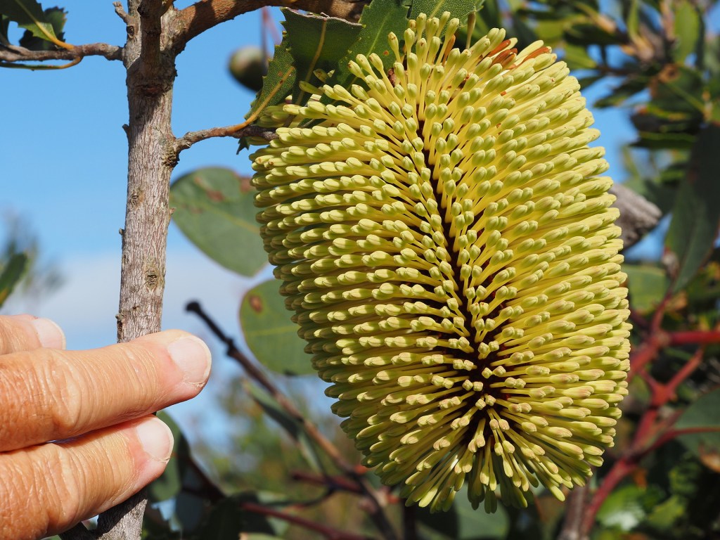
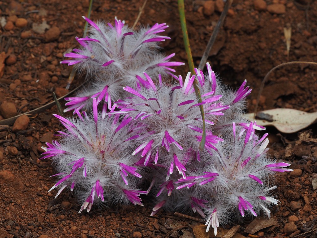
Flower examples
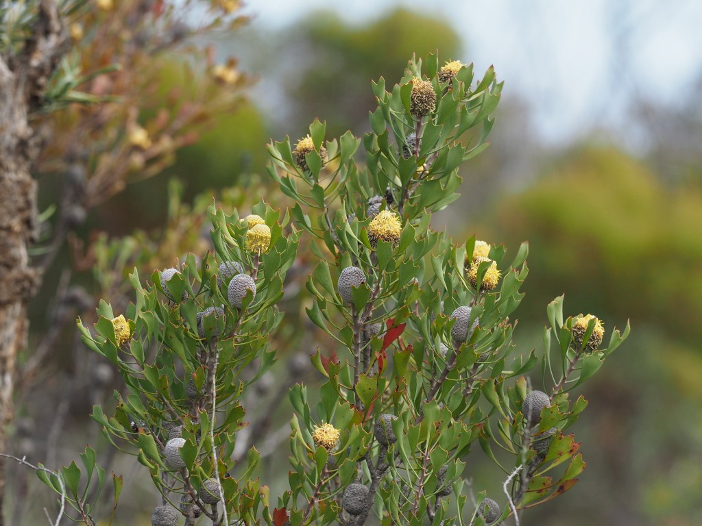
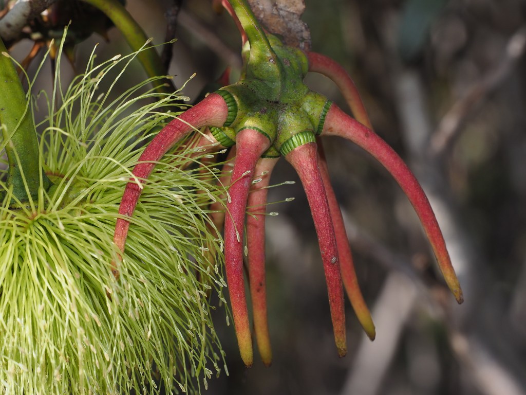
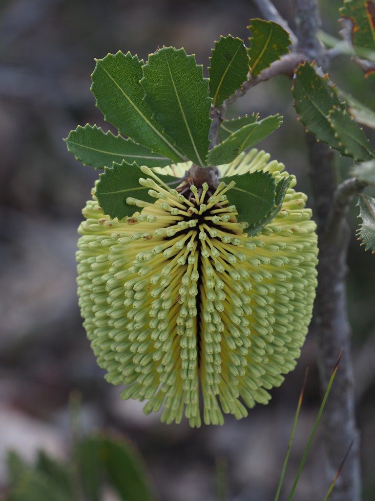
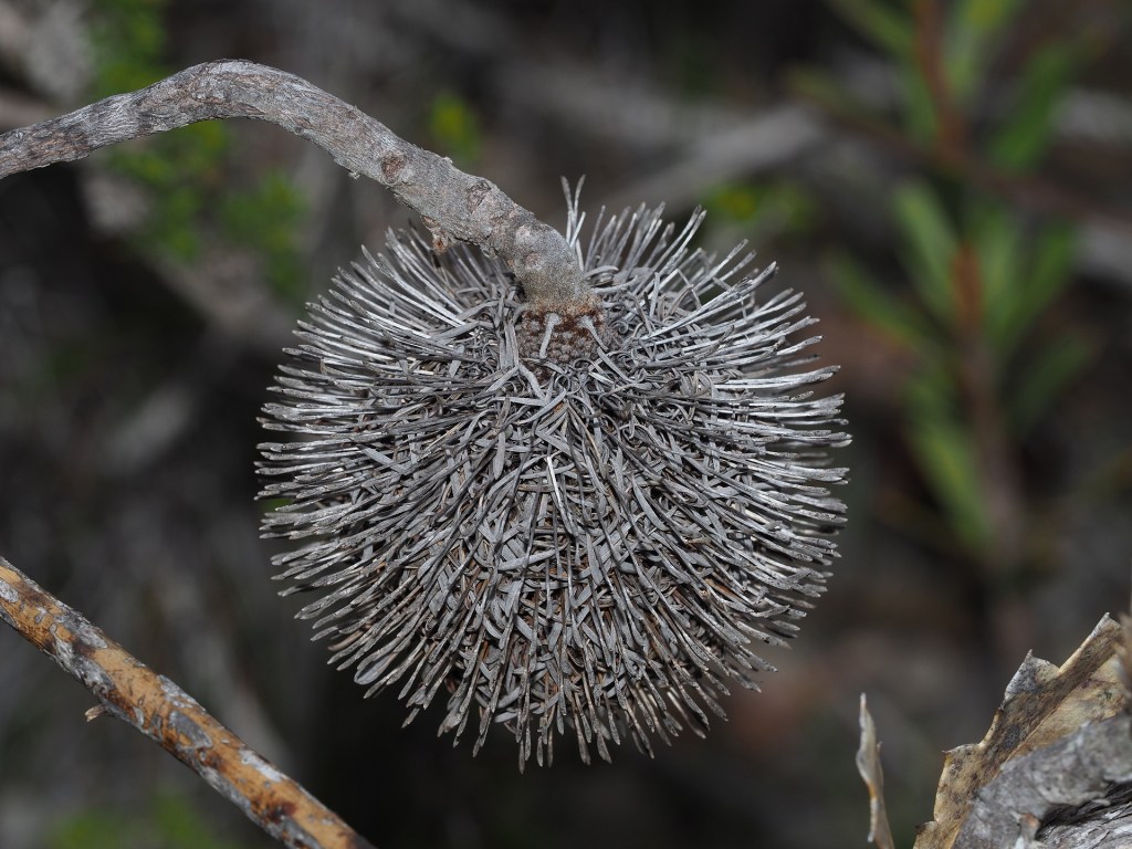

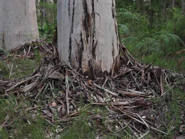
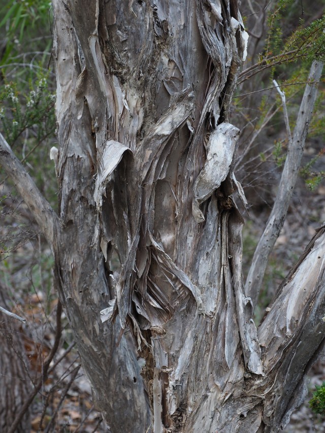
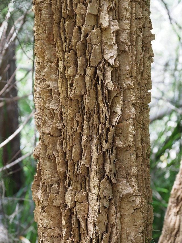
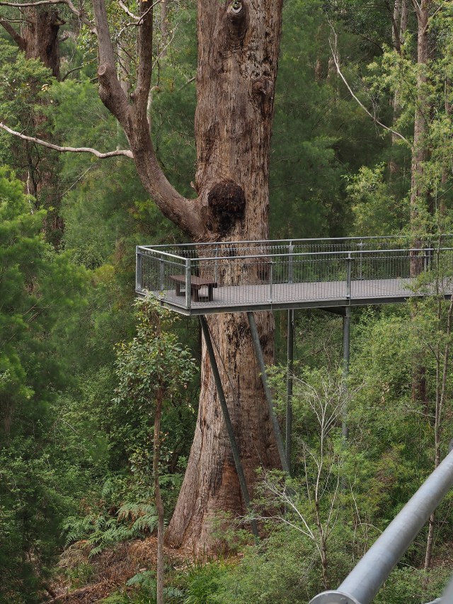
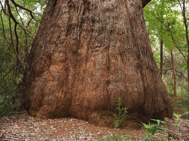
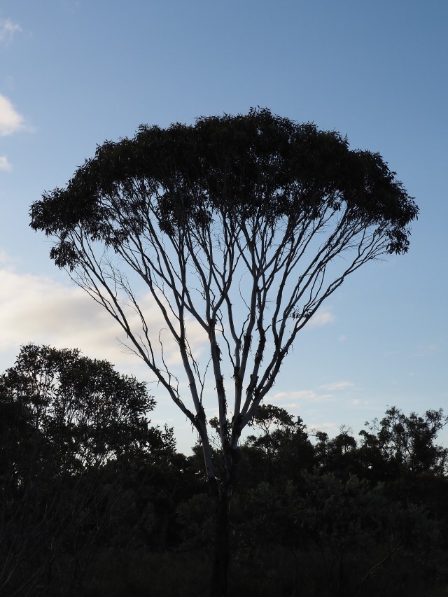
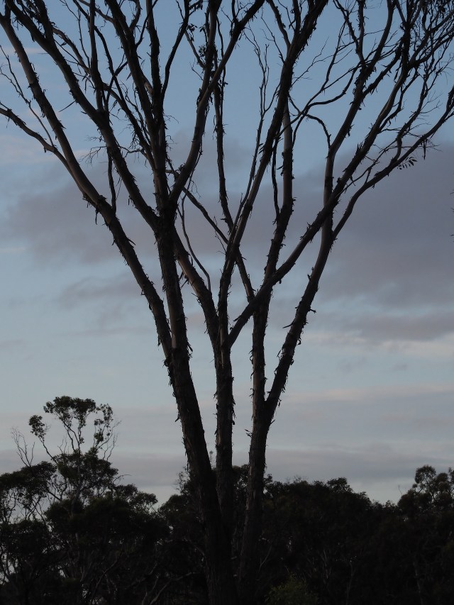
Larger forest trees
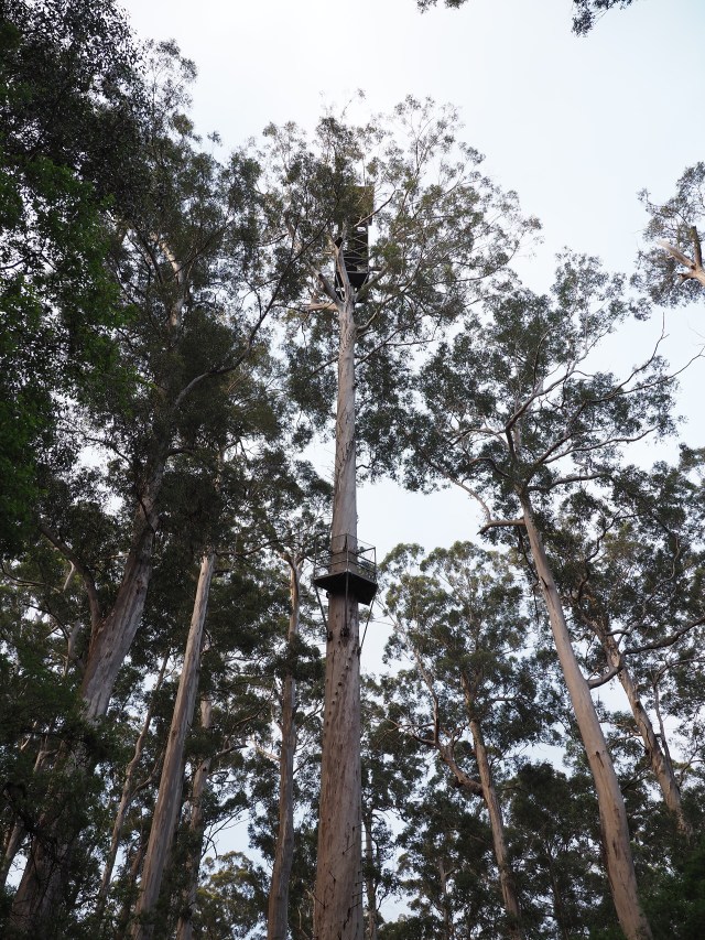
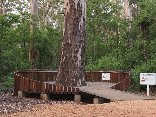
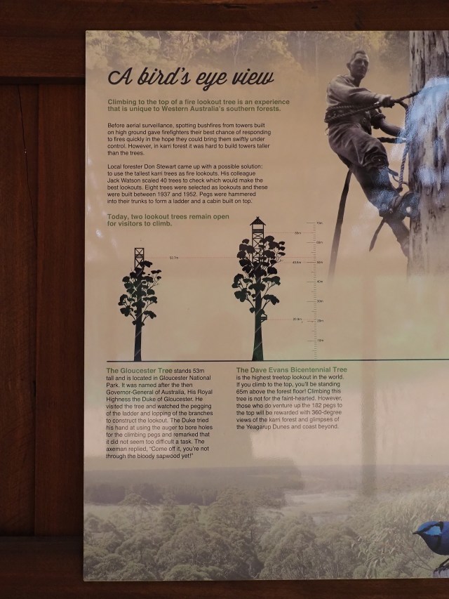
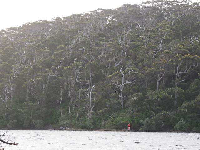

Insectivorous plants
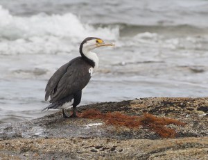
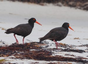
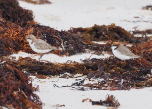
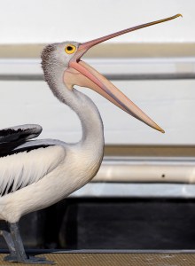
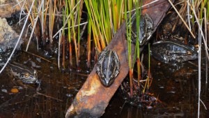
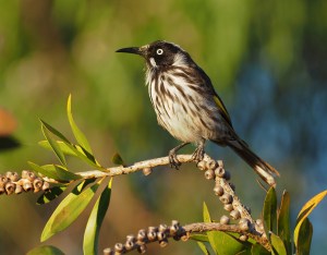
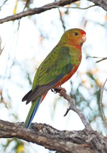
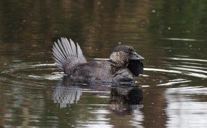
Wildlife (mostly birds, mammals, reptiles)





Lessons learned from two trips to the region
This will eventually be completed if we have time!

