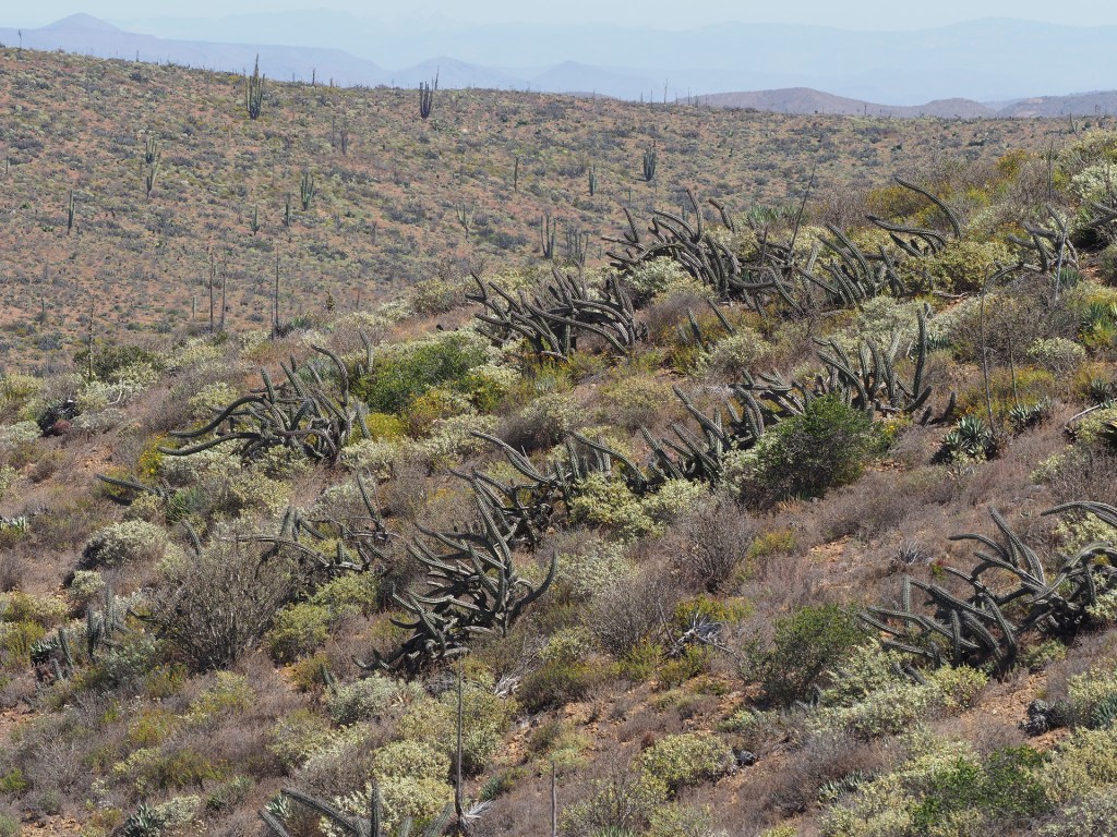
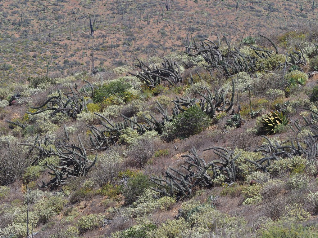
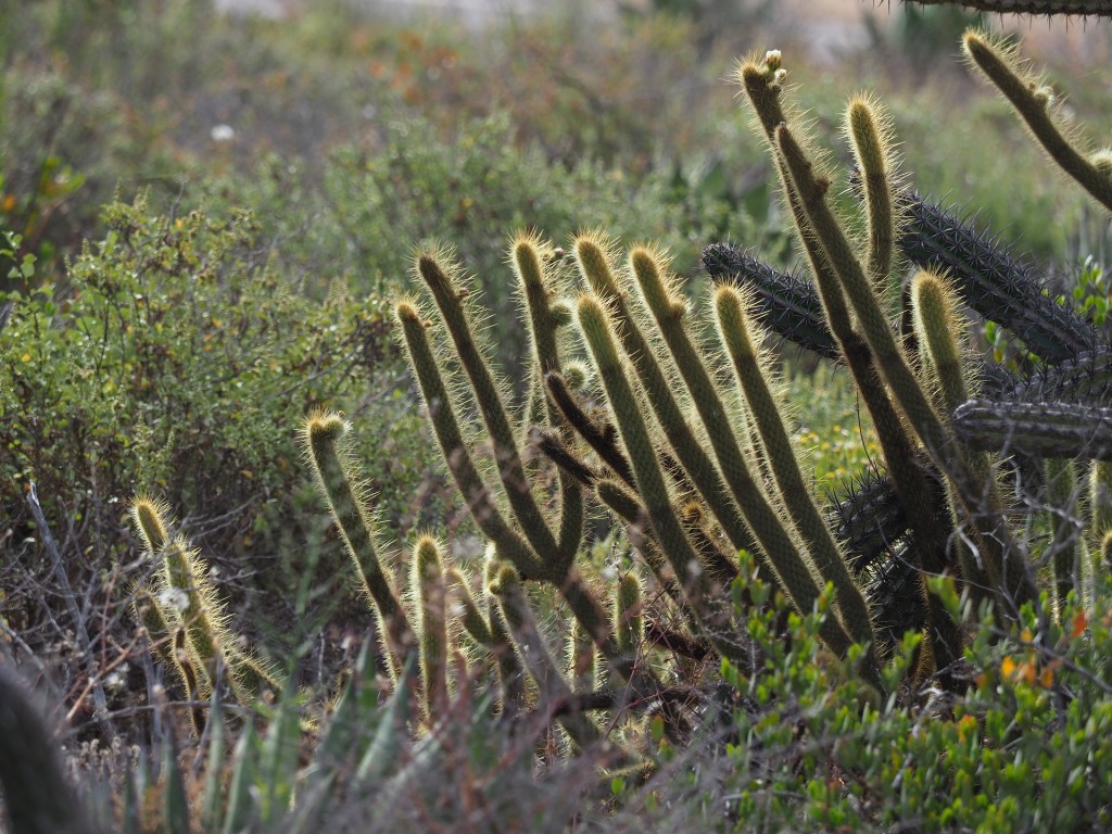
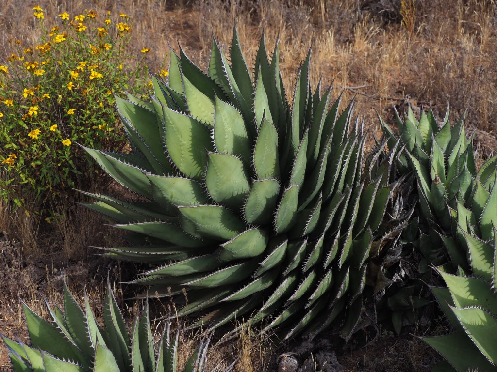
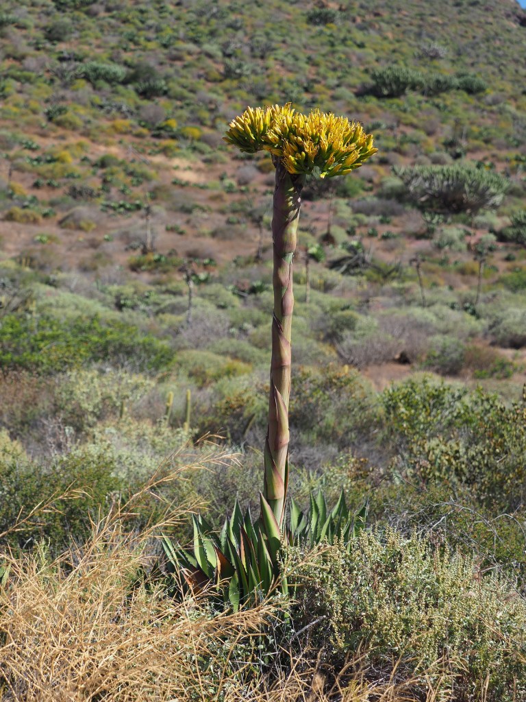
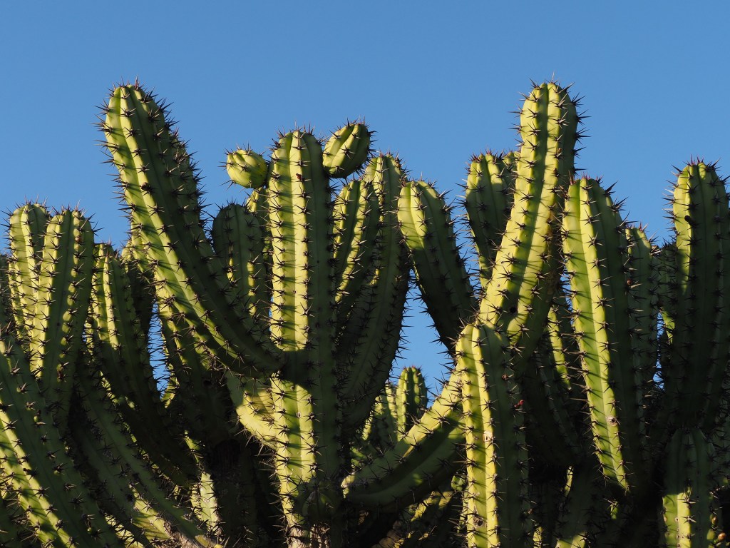
For most travelers driving south from California the transition from California chaparral to desert is quite gradual, taking place over several hundred miles (see the California Floristic Province components on the map). The first noticeable change occurs just upon entering Ensenada, where Stenocereus gummosus first appears. Prior to this large cactus appearing, Bergerocactus emoryi and Agave shawii have become increasingly common in the chaparral (though both are found in San Diego – albeit very rare). (Note: botanists and others distinguish between “coastal sage scrub” and the more inland “chaparral”, and even these units can be split further. Here we lump this vegetation type together.) South of Ensenada the transition is somewhat unclear due to agriculture and grazing lands along Highway 1. Just before Punta Colonet the hillsides display more large cacti, including Myrtillocactus cochel. Myrtillocactus has an interesting disjunct distribution in Baja California and indeed in Mexico. It is common starting near Ensenada (on undisturbed hillsides) down to inland from El Rosario, but then becomes spotty until in the high terrain west of Loreto. Between this area and the Cape Region it is absent – where is reappears in the higher (cooler) and wetter terrain. It is absent from really hot, dry parts of the peninsula. Another species (but looking similar) is found in mainland Mexico – again in higher, cooler, semiarid locations.
One should note that the very gradual variation of vegetation due to the change in climate as one proceeds south is overwhelmed by the changes from hillside to hillside. North-facing hillsides are much moister and with few succulents compared with south-facing slopes and depending on how the highway weaves its way, you may see relatively mesic or xeric vegetation. Even if the terrain were perfectly flat the climatic gradients are so small that any associated vegetation change would be hard to detect over short distances.
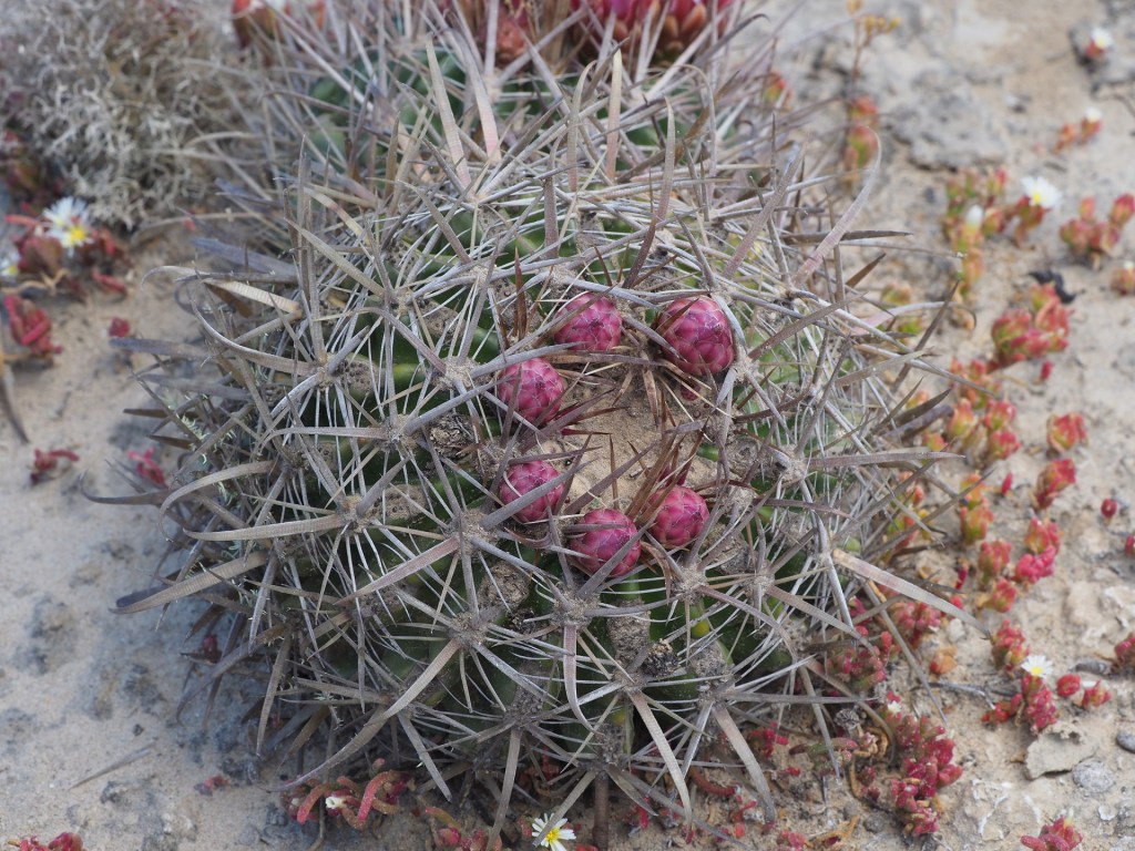
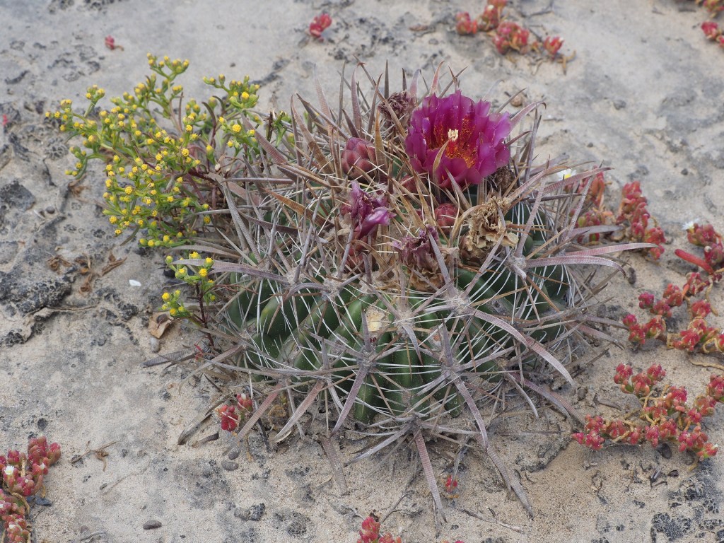
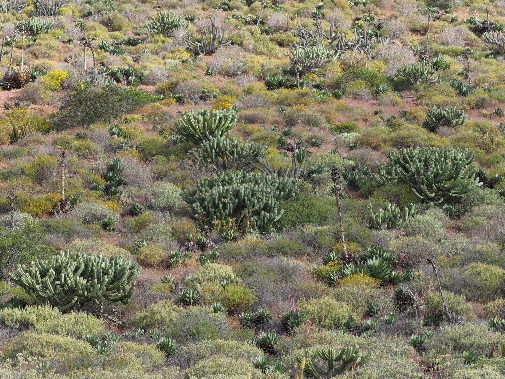
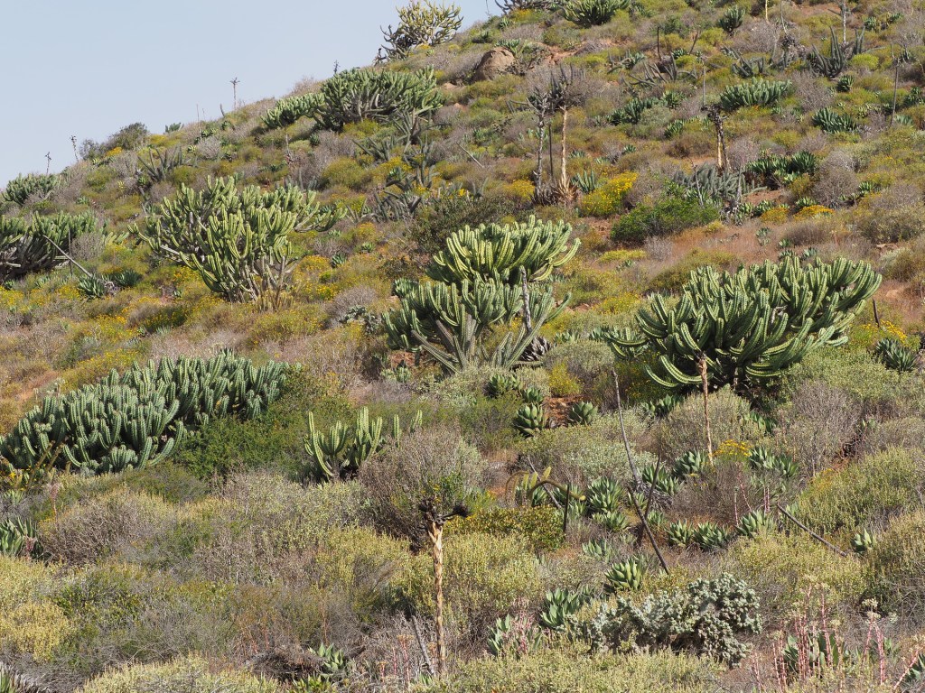
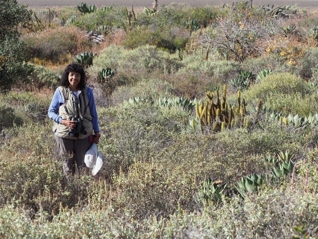
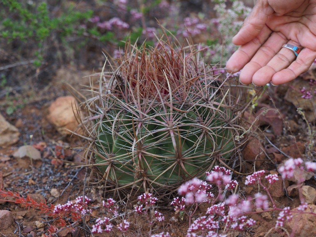
Just south of the small town of Punta Colonet is the turnoff to the San Pedro Mártir National Park. This road is entirely paved to the National Astronomical Observatory at just over 9000 ft elevation (though access is somewhat restricted for the last short stretch). To see excellent examples of the key cacti and other succulents of the chaparral to desert transition one need only drive about two miles from Highway 1 towards the observatory. The south-facing hillsides have excellent examples of Myrtillocactus cochel, Bergerocactus emoryi, Stenocereus gummosus, some Dudleyas, Agave shawii, several Opuntia and Cylindropuntias, and Ferocactus viridescens and Mammallaria dioica. The latter two cacti also extend into coastal San Diego County. Since the traffic is very light on this side road to the observatory it is one of the better places to explore this succulent-rich environment.
Click on any image below to start stepping through the images and to see the accompanying text.
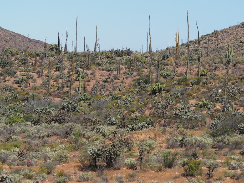


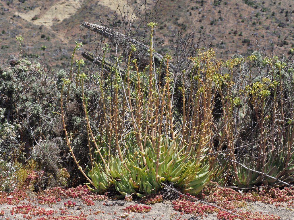


The next relatively undisturbed landscape showing the transition to desert is between San Quintin and El Rosario. The road extends along a relatively flat coastal plain with increasing amounts of smaller succulents. Where the road crosses the low hills there are larger cacti and other succulents, including Stenocereus, Bergerocactus and Agave shawii. Lichens densely coat the branches of some of the larger cacti. Unfortunately, pull-offs along this stretch are not everywhere and a driver should be very attentive to possible stopping locations. Sometimes one doesn’t see good stops until after passing them.
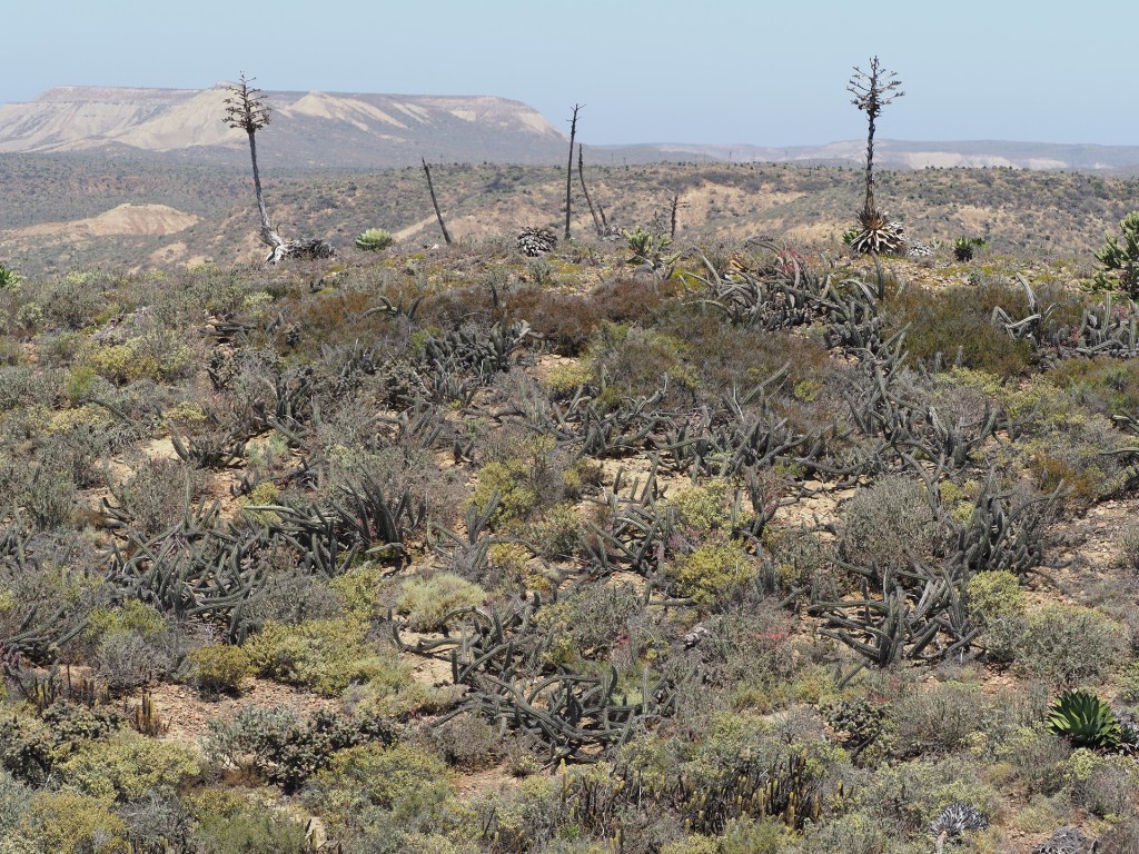
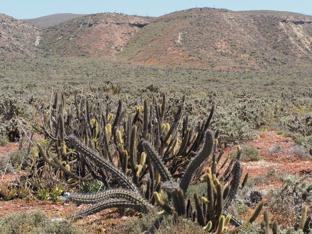
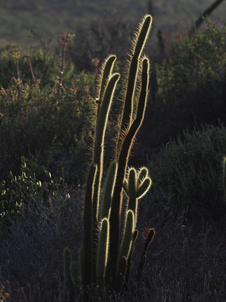
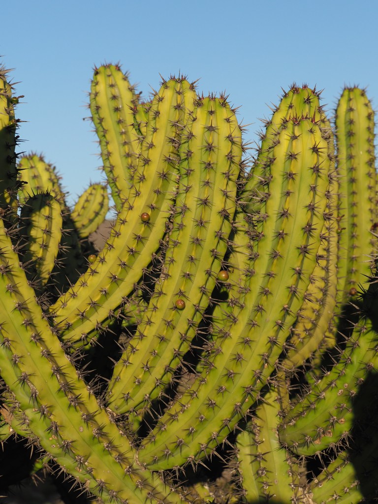
The highway eventually descends into the small town of El Rosario – the last town of any substance until Guerrero Negro – 225 miles to the south. At El Rosario the highway turns inland and the vegetation becomes drier (since daytime temperatures (especially in Summer) are warmer away from the cold ocean). Within about 10 miles the first Pachycereus pringlei appear – the largest tallest cactus in Mexico and part of much of the Baja landscape until the very end of the peninsula.
