After starting to write this section we realized that to do it well would repeat much of what already exists on the US Geological Survey’s website related to Hawaiian volcanism. Readers are urged to look over that site before traveling to Hawaii.
Current eruption information related to Kilauea is here. To see how close we are to the next “eruption” see this tilt image, updated continuously (or at least daily).
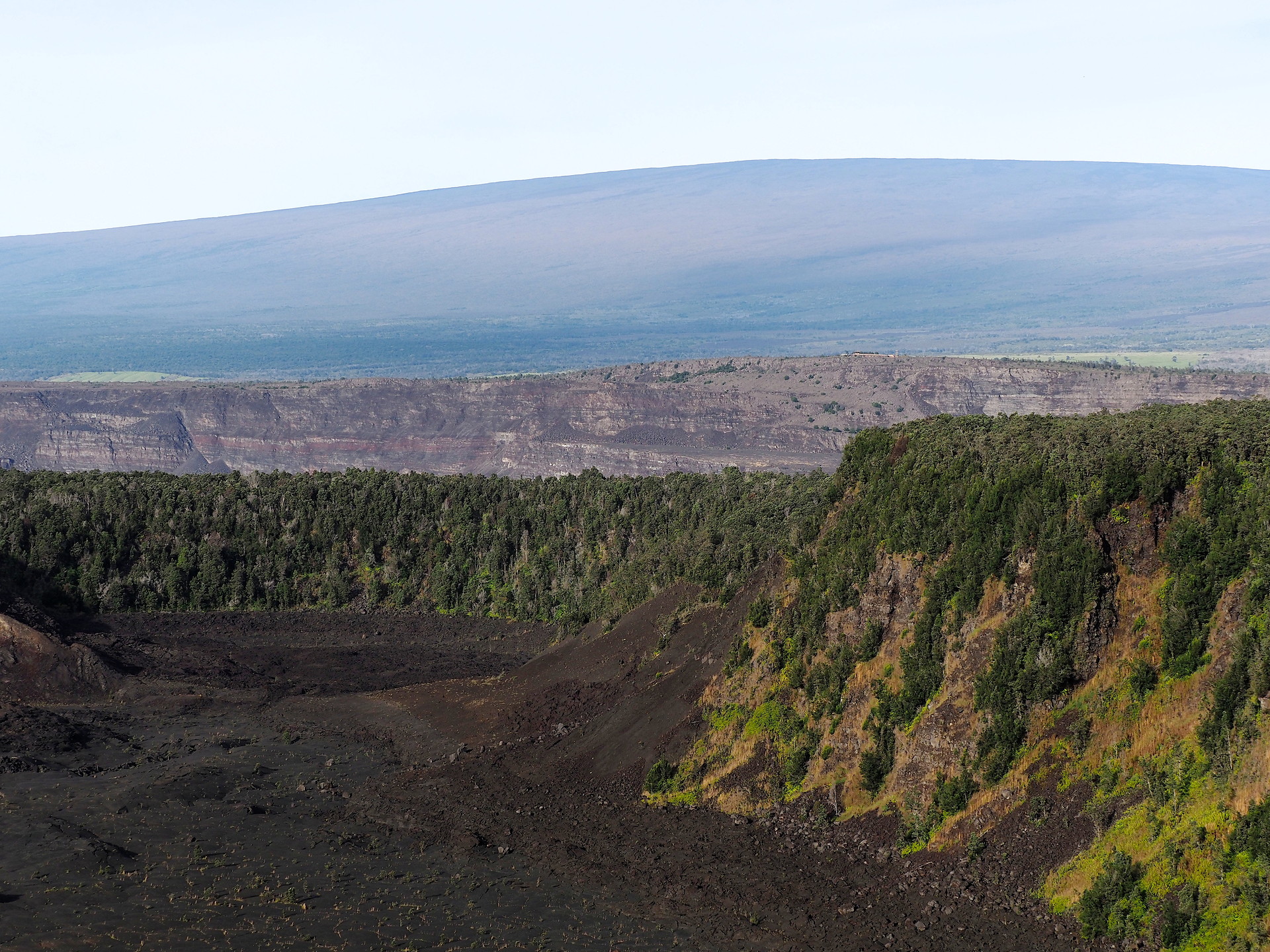
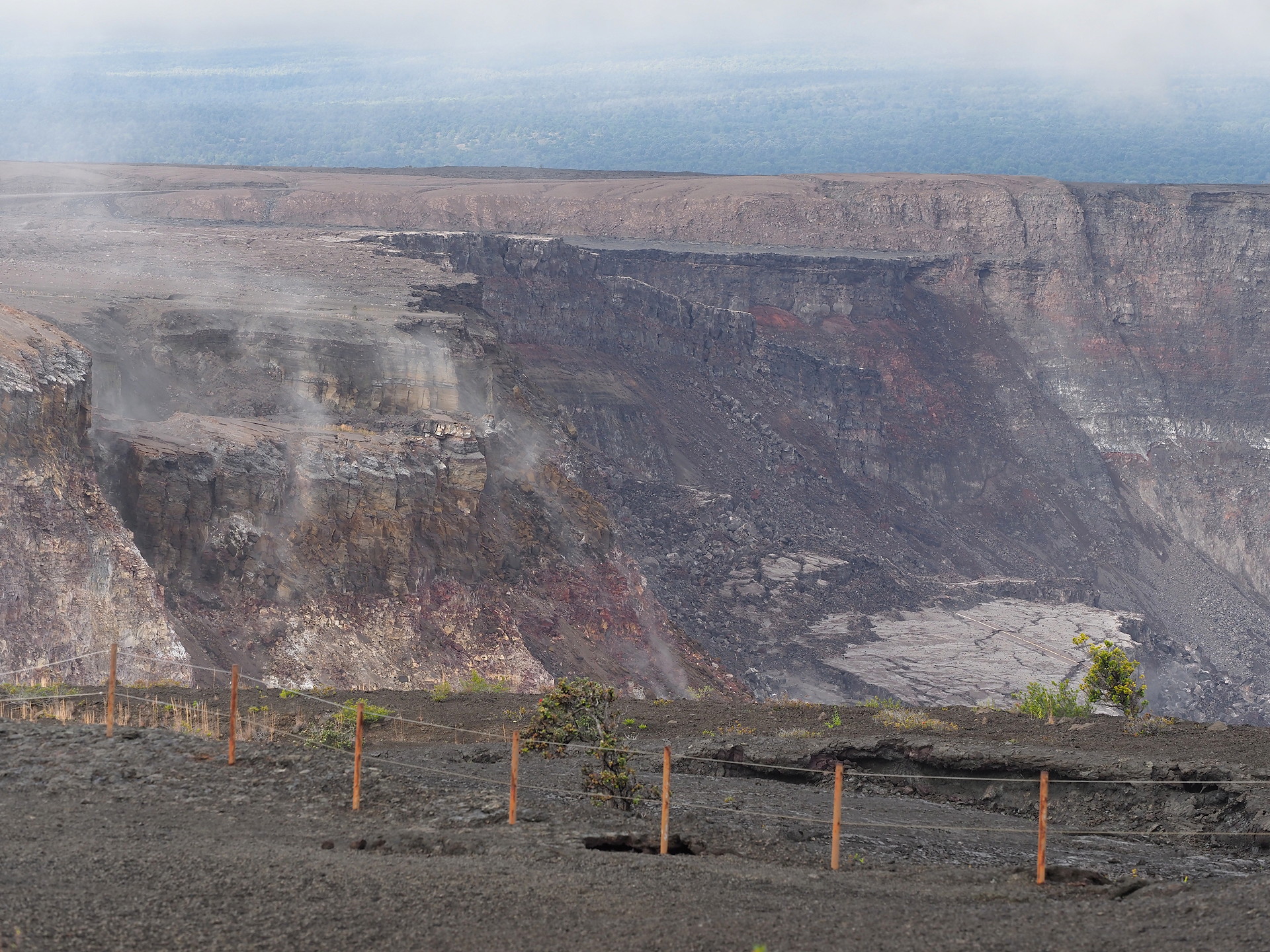
One of the main attractions of naturalists to the Hawaiian Islands is to see active volcanism. From early 1983 until 2018 there was almost continuous lava lake or fissure eruptions on the Big Island. This was an unprecedented period of activity in recent history. However, an eruptive phase in 2018 drained the Kilauea lava lake and magma chamber, leading to a major collapse of the Kilauea caldera and a cessation of activity. UPDATE 2025: eruptions with high lava fountaining is now taking place since Dec 2024 about every 10-15 days. This fountaining only lasts from 5-10 hours, so it isn’t easy to see if you are not already on the island. More recent info on the volcanic activity since 2018 can be found here. Some 2025 animations of Kilauea’s fountaining and eruptive outpourings can be seen here.
Note that the volcanos are not dead, not really even dormant. To see this go to the Earthquake page of the Hawaii Volcano Observatory (HVO), which displays weaker earthquakes than the main USGS Earthquake page. There are frequent earthquakes, mostly undetectable by people, below the summit of Mauna Loa and Kilauea and a few other locations. These reflect magma adjustments below the volcanoes.


The map above shows historical lava flows from the main volcanic edifices on Hawaii. The numbers are the maximum flow rates in millions of cubic meters per day (Mm3/d).

A US Geological Survey summary of the 2018 Kilauea eruption is found here.
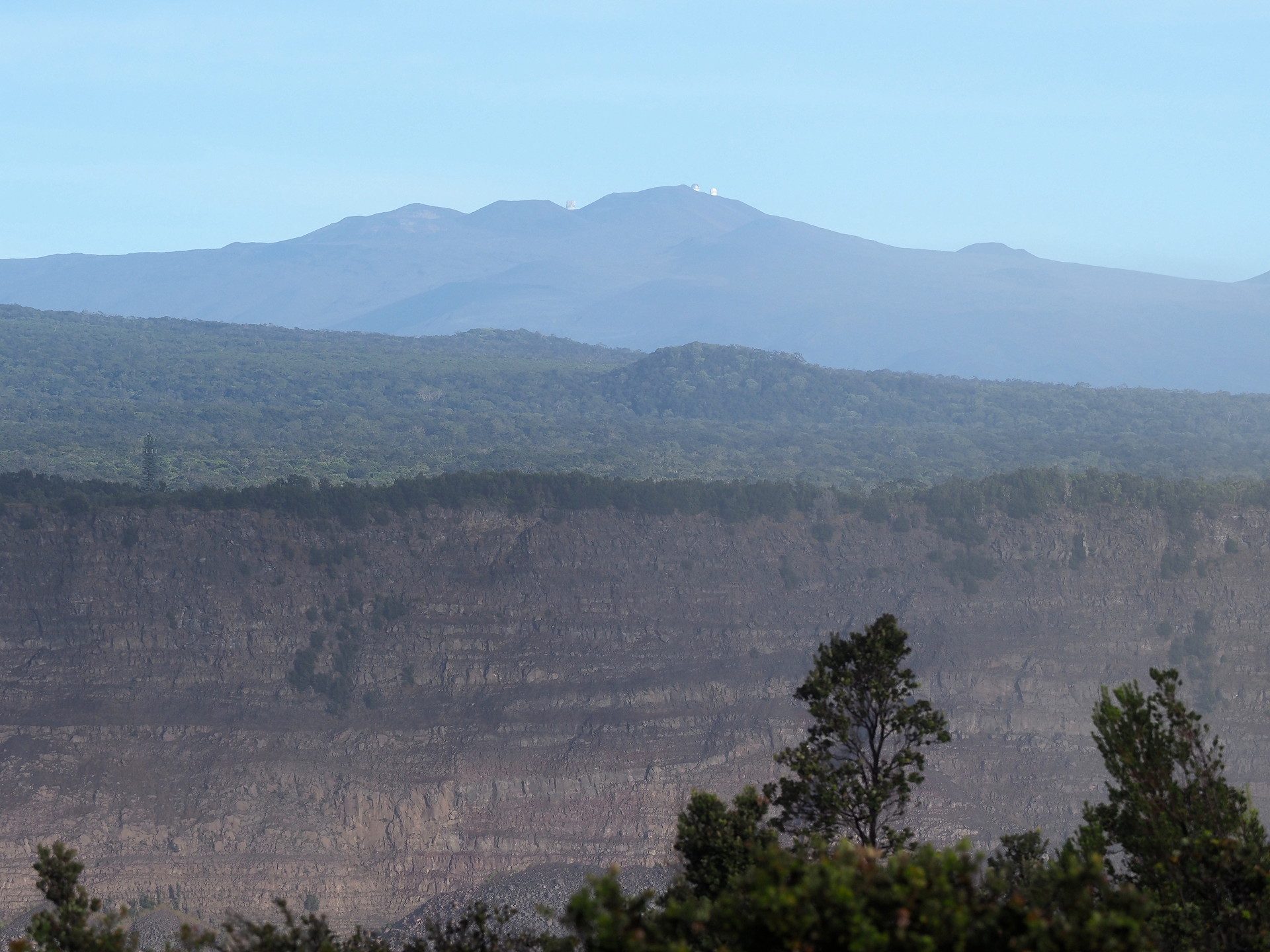


The Hawaiian Islands are viewed as a result of a “hotspot” in the upper mantle – visualized as a sort of heat source in the upper mantle of the Earth over which the North Pacific tectonic plate has been moving for millions of years. As the thin oceanic crustal plate has been moving northwestward, it has passed over a relatively stationary heat source in the upper mantle. This, in turn has generated magma, that due to its lesser density, has migrated towards the surface resulting in occasional volcanic eruptions. This simple conceptual model doesn’t answer many questions (like why are there discrete islands rather than one continuous ridge), but it is understandably hard to make direct measurements in the interior of the Earth. The best source about the Hawaiian volcanoes and their monitoring is the United States Geological Service Hawaiian Volcano Observatory website. The entire site has interesting information, at varying levels of detail, but sufficient for nearly all natural history travelers.
Wikipedia has an excellent bathymetric map (from a USGS publication – in public domain) that is shown below. It reveals many interesting details of the underwater structure of the Hawaiian Islands that are not evident from standard maps that show only the coastlines.

