Fly or drive?
There are two options for traveling to the Baja California peninsula – to fly or to drive. (Note added in 2023: well, there are three options for Baja California travel. Cruises go to various ports along the peninsula). Flying involves travel to one of a few airports in the peninsula – the most convenient being that near the extreme southern tip at Los Cabos. There are also flights to La Paz, those these tend to be slightly more expensive from US destinations, and a small number to Loreto. There are many flights to Tijuana, but this is less recommendable since you must immediately travel though the largest city on the peninsula to get to interesting locations farther south. Flying to San Diego is also an option, but crossing the border in a rental car many not be allowed and is more complex than flying to Mexico and renting a vehicle there.
Another option is to drive from mainland Mexico and enter the peninsula via ferry – either at Santa Rosalia or from Mazatlan. This can be interesting, but should be carefully coordinated with travel through Mexico and the ferry times can change.
Vehicle rental and driving strategies
Assuming you fly into Los Cabos, at the southern end of the peninsula, you are then faced with the option of how far to travel north to see “everything of interest”. The farther you drive north, the longer the return drive to Los Cabos. If you decide to travel to Tijuana to take a return flight home, you must make a one-way vehicle rental. These are considerably more expensive that returning rental vehicles at your pick-up location. If your available time is limited and you don’t want to drive an extra 1000 miles, a one-way rental is the best option. If your time is less constrained, driving the peninsula both ways is a viable option.
Of course, if you live in the southwestern US, you may want to drive to Baja California and enter at one of the multiple crossing points. Some are crowded (e.g. Tijuana and Mexicali) and others are less crowded (e.g. Tecate, San Luis (Yuma area). There are two paved roads, one from the Mexicali side and the other from the Tijuana side, that join near Laguna Chapala. The Gulf of California side route was not paved until relatively recently and has fewer facilities that the route along the Pacific.
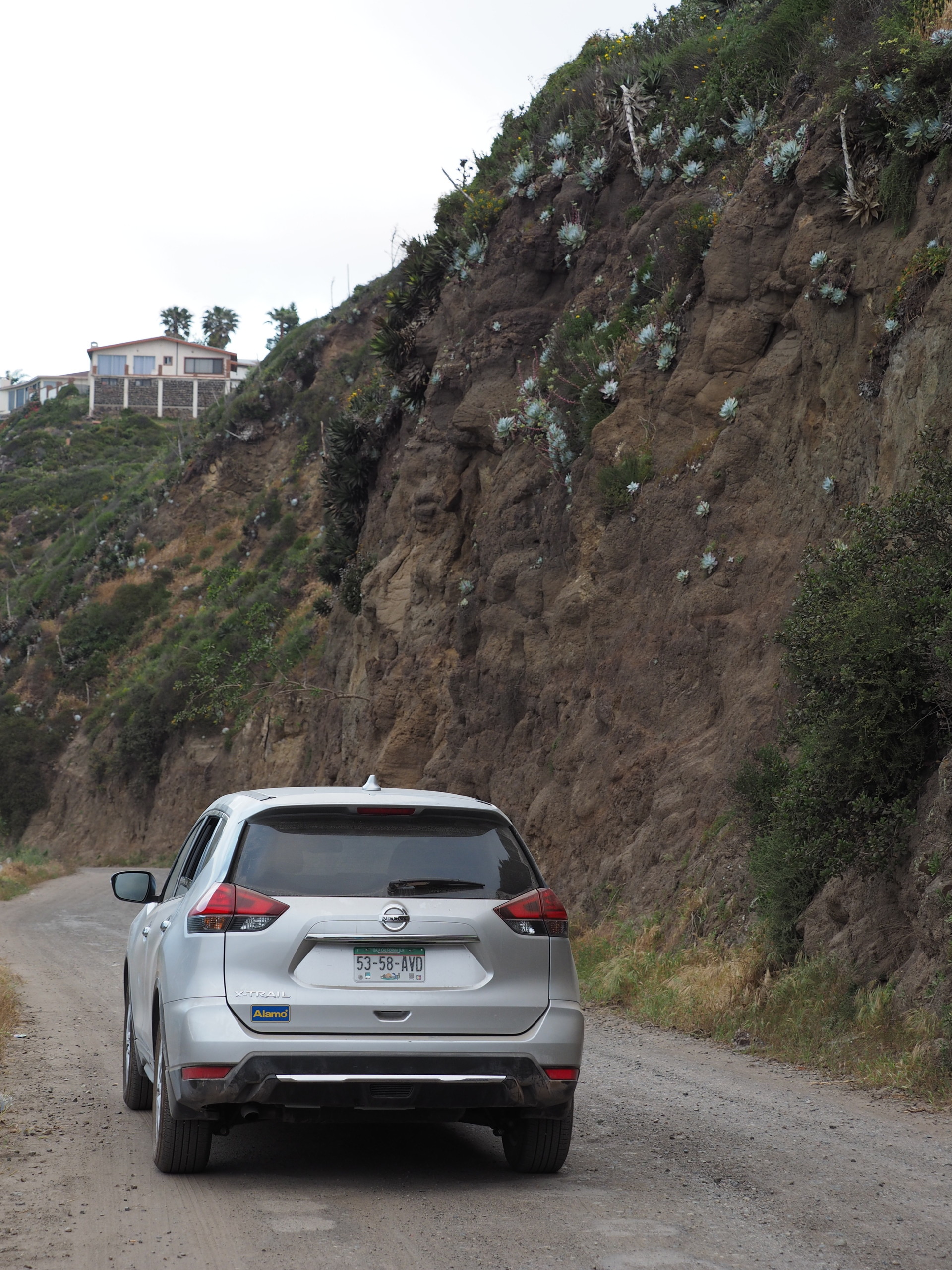
Independent of how to arrive and travel the Baja California peninsula, you should be aware that the main highways in Baja California, despite their lack of heavy traffic, are not designed for high speed driving. Signs mention this in various locations – the road is for economic development, not high speed driving. The road for many years was paved in the north and in the south of the peninsula, but the middle section of about 400 miles was very rough dirt. I did this dirt stretch various times in the early 1970’s – and it was very rough.


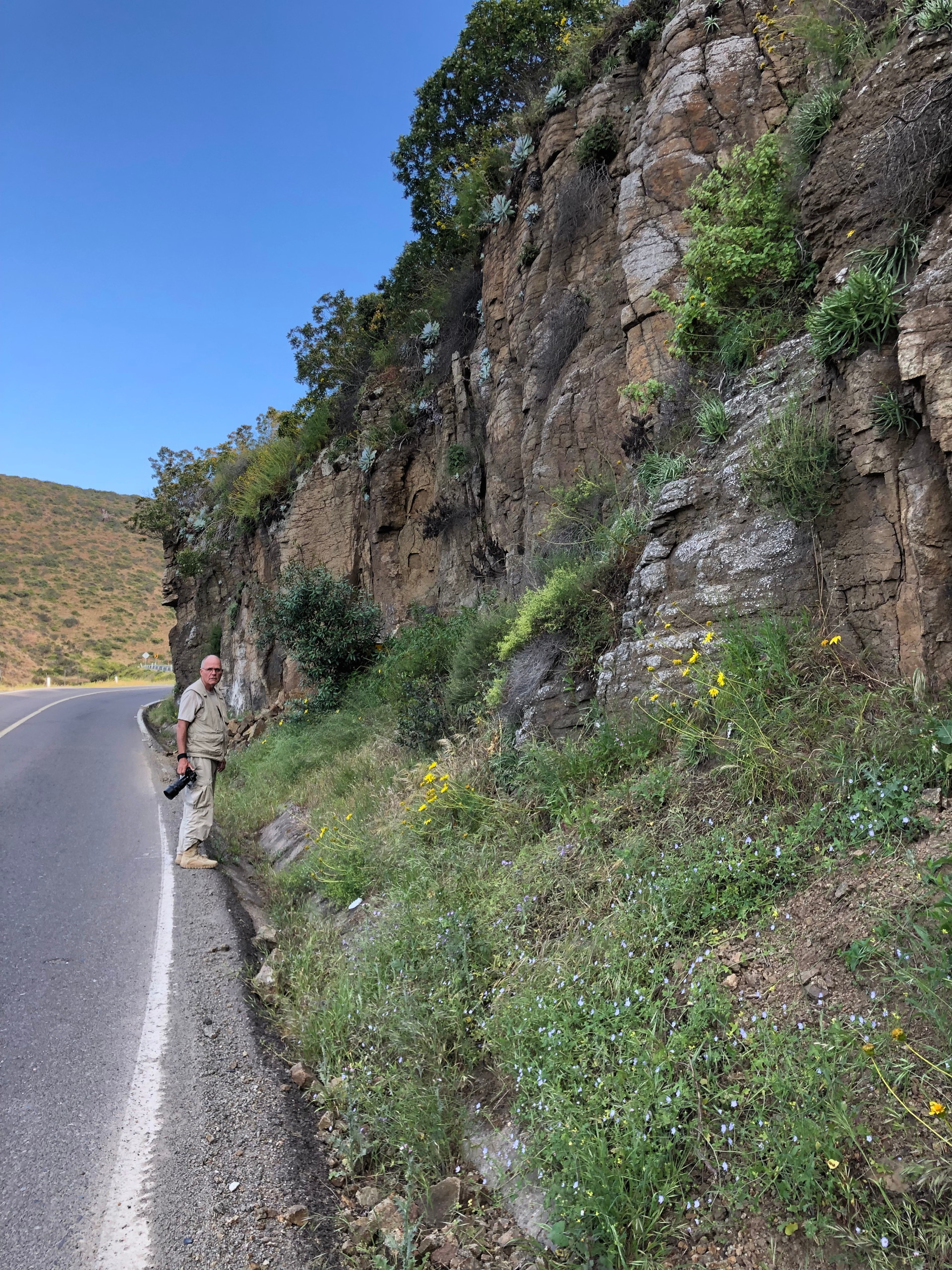
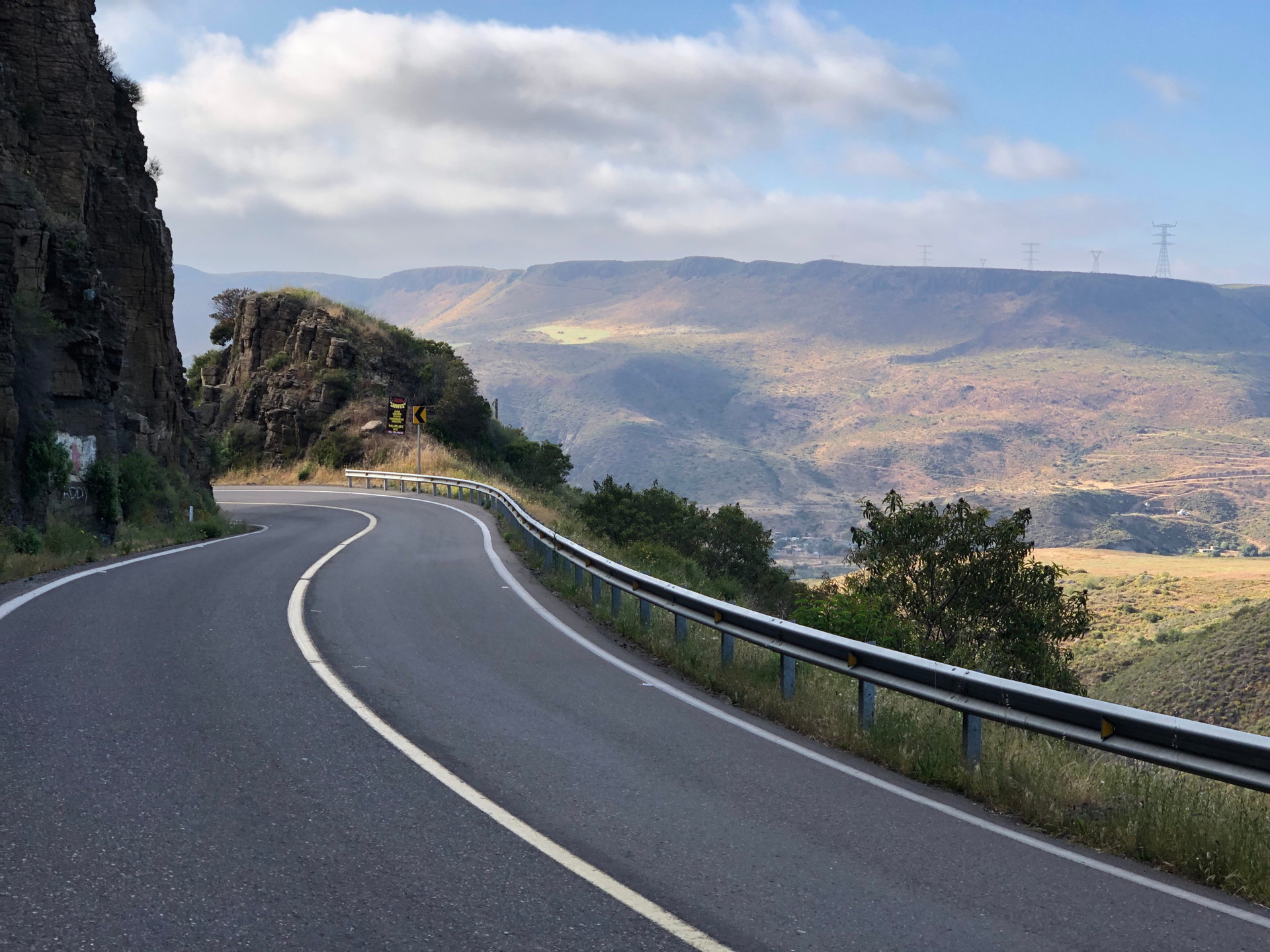
The road itself is narrow by highway standards and can be undulating due to sagging of the roadbed – often made of material pushed up from both sides of the road. The road often/usually passes through scenic terrain, but the design of the road is anything but scenic. During construction of many road stretches, something like 50 meters on either side was cleared of vegetation – and it has taken decades to partially recover. Also, passing lanes are very rare and scenic turnouts and wide shoulders almost non-existent, so naturalist drivers need to be constantly on the lookout for pull-off spots when driving through interesting terrain. Fortunately, few fences prevent you from walking off into the surrounding terrain. Unfortunately, this means that cattle might cross the road…anywhere.
A golden rule for driving in many countries, and certainly in Mexico, is to avoid driving at night. Lack of fencing on roads, cattle sleeping on roads, and lack of enough reflectors along the roads all make night driving more dangerous. And this doesn’t even consider the possibility of road blockades by criminal groups – something that has existed for decades – existing even prior to the activities of recent years. While rare, one such experience is enough for a lifetime. Don’t drive at night; budget your time and your stops so you can arrive before dark. In towns this strict rule doesn’t really apply, though street lighting in Mexican towns is less than in the US.
When to go?
When is the best time to go to Baja California? Most naturalists will want an answer to this question, but the answer depends on what you want to see – and how much discomfort you are willing to suffer. The most pleasant time is winter and early spring – when the temperatures are not hot. But this is a dry time for the Cape region around Los Cabos and the dry forest is leafless. Being leafless is actually better for walking and seeing wildlife – though there isn’t that much wildlife to see. Not like Africa where the leafless dry season allows you to see large game more easily. In northern Baja California there is winter rain and the landscape is greener and flowering in the later winter to spring (roughly Nov-May).
If, like many naturalists, you will be interested in the succulent flora of the peninsula almost any time is good to see these plants. Thus, traveling during a cooler part of the year greatly aids exploring on foot.
The worst time to travel through Baja is probably late May and June, when any winter rains have ended and summer rains haven’t started. This is similar to the “pre-monsoon” in many parts of the tropics – very hot and dry. Summer rains starting in July will have affected most of the southern part of the peninsula by September and October – when they usually end. The southern peninsula is at its greenest at this time. This of course, also means more insects and still very warm and humid conditions.
If you are snorkeling, the warmest gulf waters are in late August and September, but most of the year will be pleasantly warm in the southern Gulf. The northern Gulf waters, and the entire Pacific coast, are cool in winter and spring.
One thing that has changed since completion of the paved road connecting northern and southern Baja California in 1974 is that tourism by Mexicans has greatly increased. Decades ago, most drivers of the peninsula were Americans from California. Today, the cities of Tijuana and Mexicali have large populations and there are many people with the economic means and interest to travel south to enjoy the beaches and waters of the Gulf of California in southern Baja California. Our recent 2019 trip took place during the Semana Santa (Holy Week) – the national week-long break prior to Easter. Normally, we avoid this week whenever possible in Latin America, because the hotels, highways and tourist attractions become very crowded in the countryside. And indeed, some areas – beaches specifically, were very full with local tourists. But away from such attractions there were few people. Sadly, there are relatively few Mexican natural history travelers.


Food and lodging
There are long stretches in Baja without much in the way of restaurants or lodging. Buy food and an ice chest (or bring a larger folding one) after arrival. Stock up on non-perishable groceries and water at a good grocery store in your arrival city. Do not expect food to be available when you are hungry – unless you bring your own.
In Mexico (and many other countries) a restaurant meal is not a quick affair. It is expected that you are there to enjoy the meal and talk. So you will have to ask in advance for your bill and otherwise make it clear that you need to eat quickly – if you want to. For this reason, we usually only eat at regular restaurants after dark, when there is not as much rush.
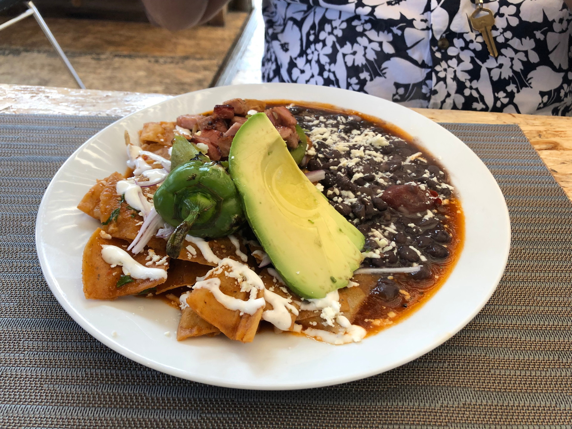
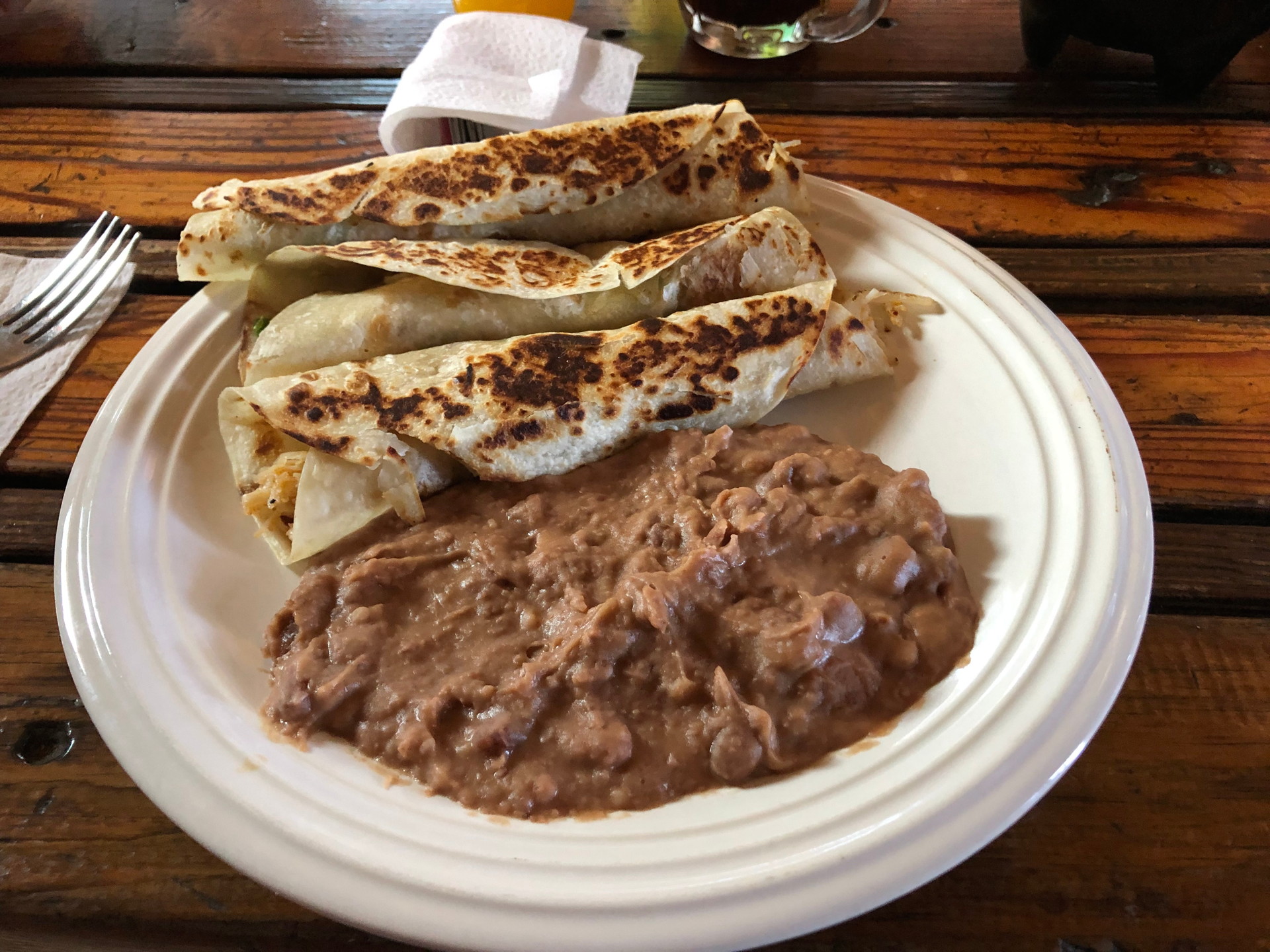
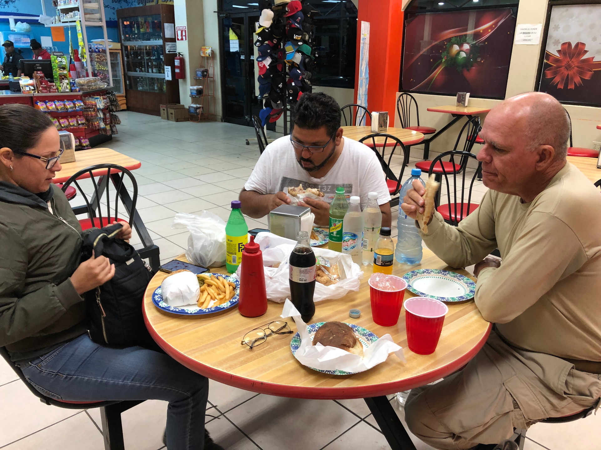
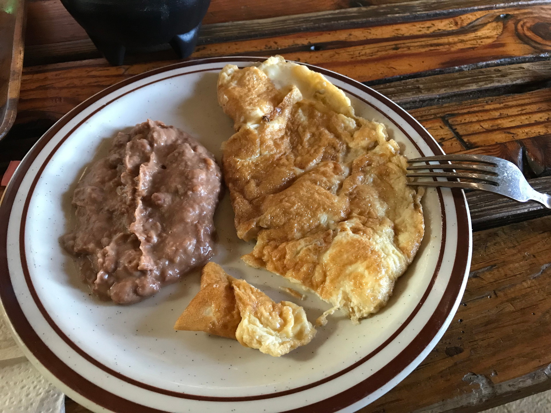
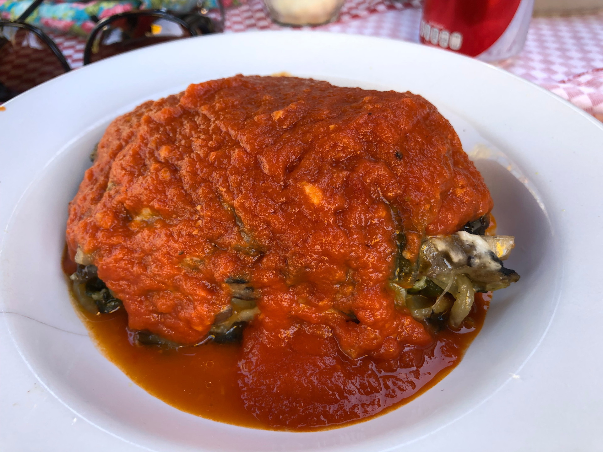
Examples of food at various locations along our last route can be seen in the images below.


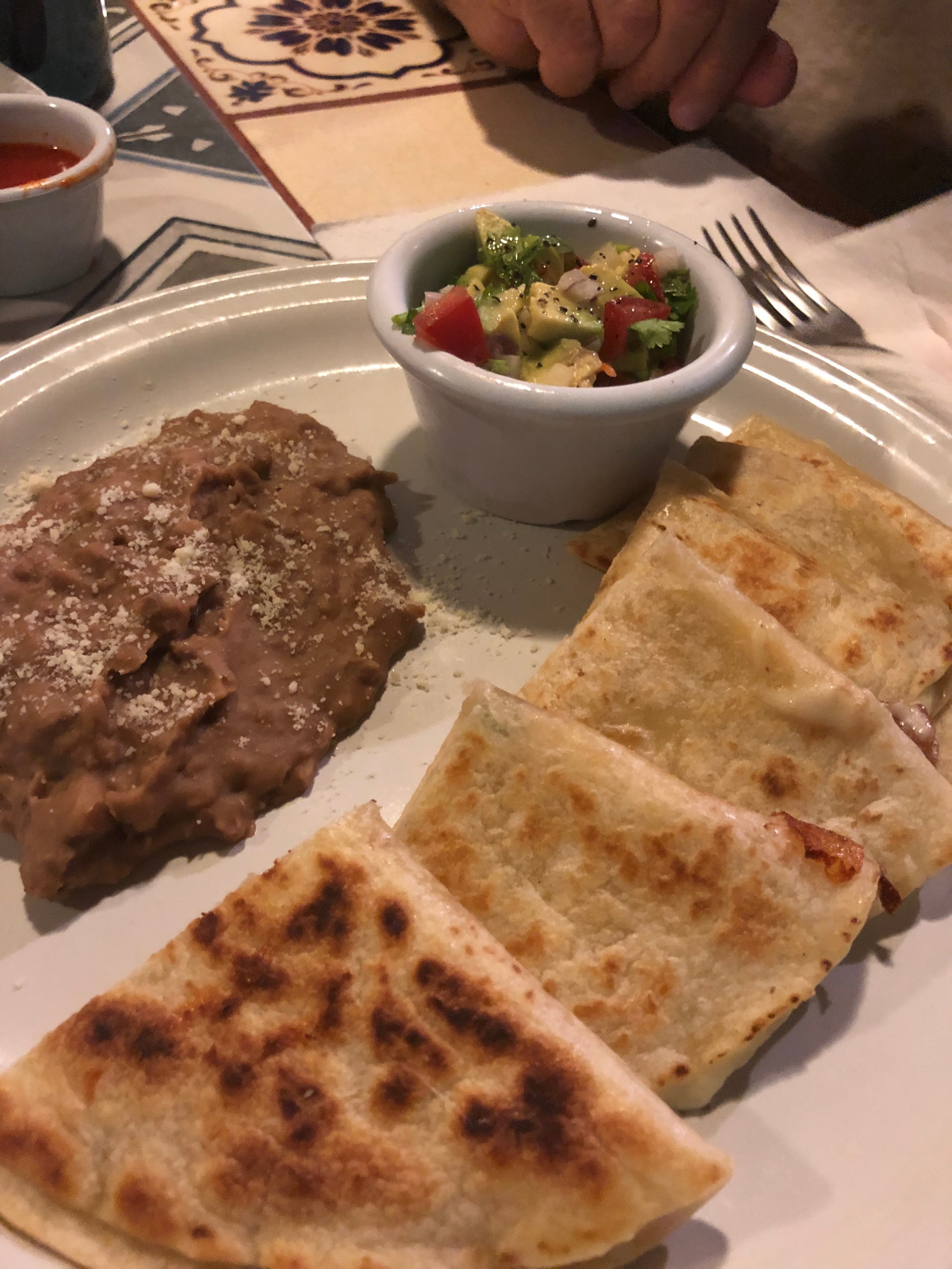
Assuming you arrive at your day’s destination town before dark, there are acceptable restaurants in most small towns. We had no problems anywhere – but options might be very limited in some smaller towns. Like Cataviña, Mulege, El Rosario, Guerrero Negro, San Ignacio etc…. Seriously, you will have no problem finding food to eat. But Baja is not a fine-dining destination.
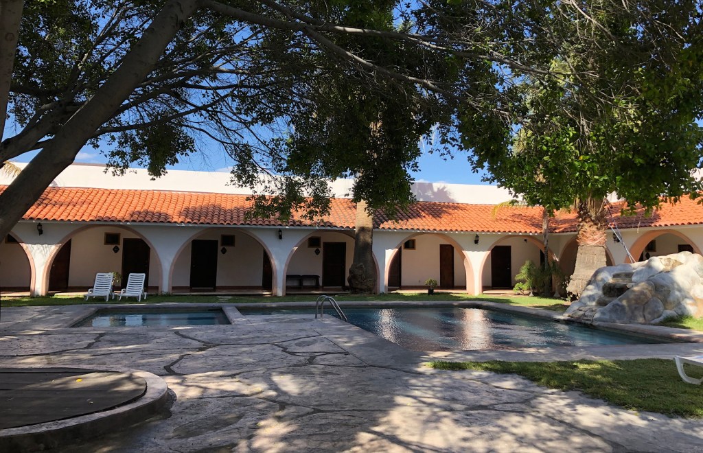
Hotels reservations can be arranged via the internet in many towns, but some of the less expensive (“mom and pap”) ones do not take credit cards or even reservations. Others require phoning in advance. Some have their own restaurants (sometimes a good deal, sometimes it is better to eat outside).
Other details
There are automatic tellers for cash in most larger towns, though gas stations and lodging take credit cards so your cash needs will be relatively low along the peninsula (shopping is rather limited).
Gas stations are not common, so fill your tank before leaving larger towns, know where to expect the next station, and stop for a fill-up when your tank goes under half full. It’s not that no one will stop to help if you run out – there is enough traffic on the main highway 1, but it is inconvenient to all involved. While normal vehicles can easily drive between the gas stations on the main highway down Baja, if you do long side excursions on minor roads you may need to plan more carefully your gas stops. Major credit cards are accepted at most gas stations – but always carry enough cash for “unexpected” events. And remember that in Mexico you don’t put gas in your tank – the station attendant does.
And we shouldn’t need to say this to naturalist explorers, but you need to dress appropriately when in the field in Baja California. Especially in this arid land where spiny plants like cactus abound. Some of the Opuntia are especially effective at “finding” your legs or shoes. This is how they propagate and move from place to place via larger mammals. We always wear boots and long, loosely fitting pants to minimize insect and snake bites and minimize the chances of spines entering your skin. You have been warned – it happens occasionally to us.


Main touristic towns in a nutshell from South to North:
Los Cabos: Mega resort complex sprawled out along the south tip. Get out as soon as you can if you are a naturalist.
La Paz: Largest city south of Ensenada. Base to explore the Pichilingue area, or southward to the El Triunfo dry forest area. Nice malecon for evening strolls. Much less touristy than Los Cabos.
Ciudad Constitucion: An agricultural town to service the large fields around this part of the Magdalena Plain. Good for a base to explore the San Carlos road and Creeping Devil habitat.
Loreto: Main tourist town on lower Gulf coast. Nice small town center – very walkable. Shoreline, birdwatching etc. Whale watching in season.
Mulege: Small “estuary town”, with some mangroves, pelagic and coastal birds and Date Palms.
Santa Rosalia: Former industrial town (steel mill decades ago), OK for a night’s stop but not much else.
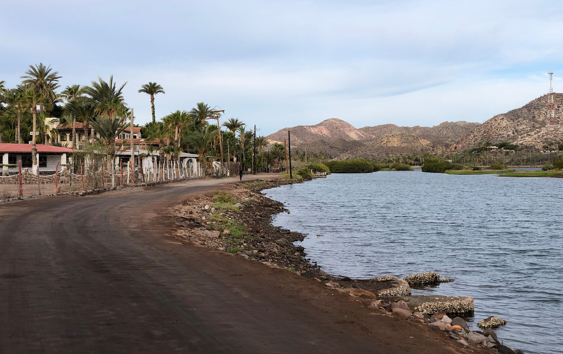
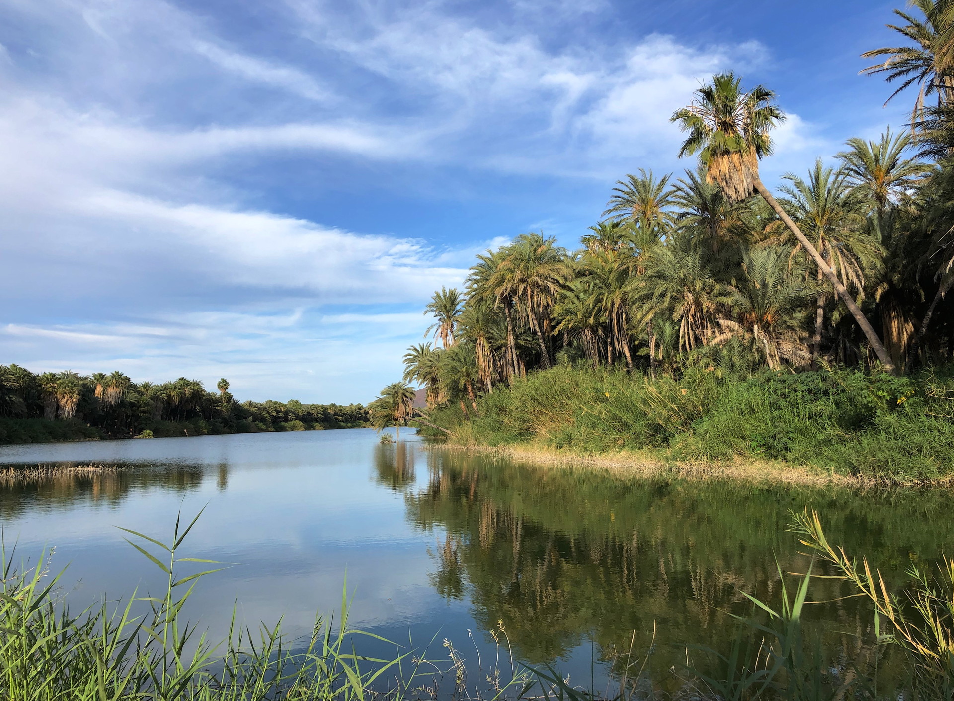
San Ignacio: Oasis in canyon with large number of Date Palms and a freshwater lagoon.
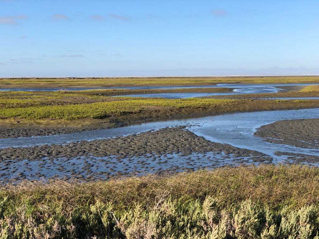
Guerrero Negro: Large town on Pacific Ocean lagoon with industry base of salt production from large evaporation ponds. Access to nearby salt marshes and good shorebird viewing. Also whale watching tours. Otherwise, the area is windy, overcast and cool much of the year.
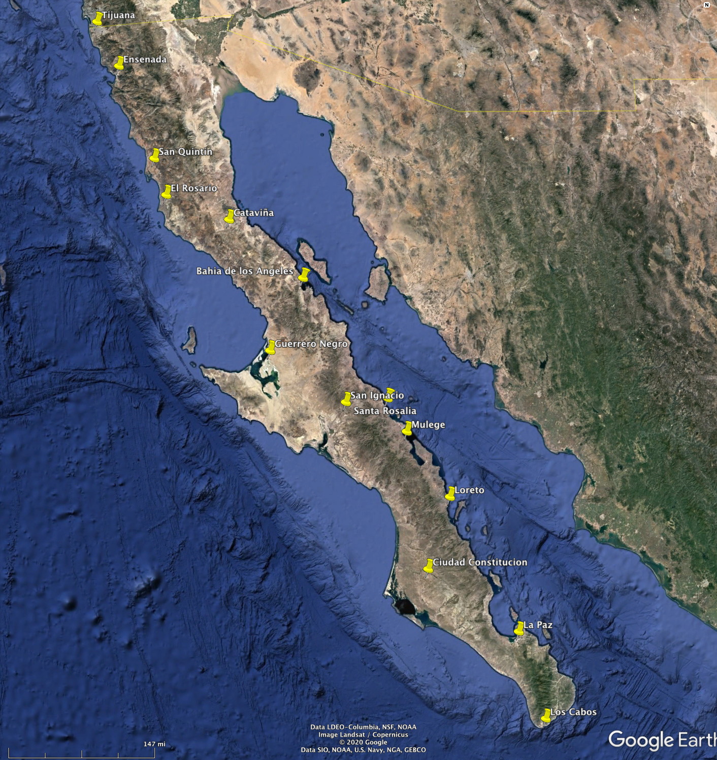
Bahia de Los Angeles (“LA Bay”): Laid-back small town mostly for small boaters. Hot, dry landscapes on Gulf of California. Interesting transition between Central Desert to Gulf coastal desert seen on descent into LA Bay. Off the main highway, so lightly visited.
Cataviña: This small community is the main base for Central Desert exploration but it has only one hotel and one or two rustic eateries (besides the hotel’s restaurant). Mostly used as an emergency stop by those driving south or north, it is surrounded by the most iconic landscapes of the entire peninsula. Cataviña is not a major tourist destination because it is not on the ocean. Most people traveling this far south in Baja California want to stay near a beach. But for landscape and nature photographers you could easily spend a week here exploring the surroundings.
El Rosario: The last town of any size before entering the “wilds” of central Baja California. The next town south is Guerrero Negro – about 225 miles.
San Quintin: A relatively large town surrounded by agriculture – but with a hotel outside of town on a long, lightly populated beach that is great for walking.

Ensenada: Large tourist town with all the amenities (and problems) of a standard Mexican city.
Tijuana: Very large border city best avoided (except for business people and those just doing a day trip across the border). Fortunately, for those crossing from California, you can avoid much of the congestion by a dedicated toll highway that leads to Ensenada.
