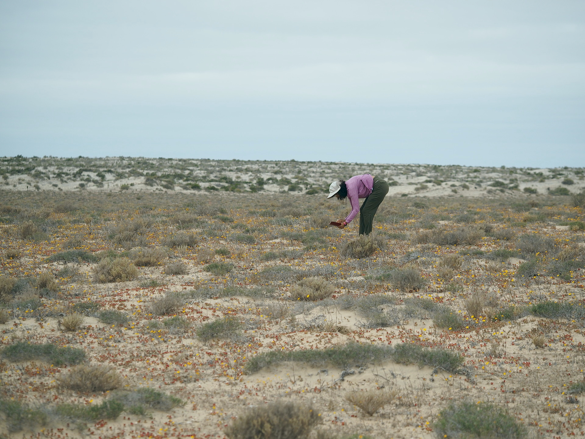
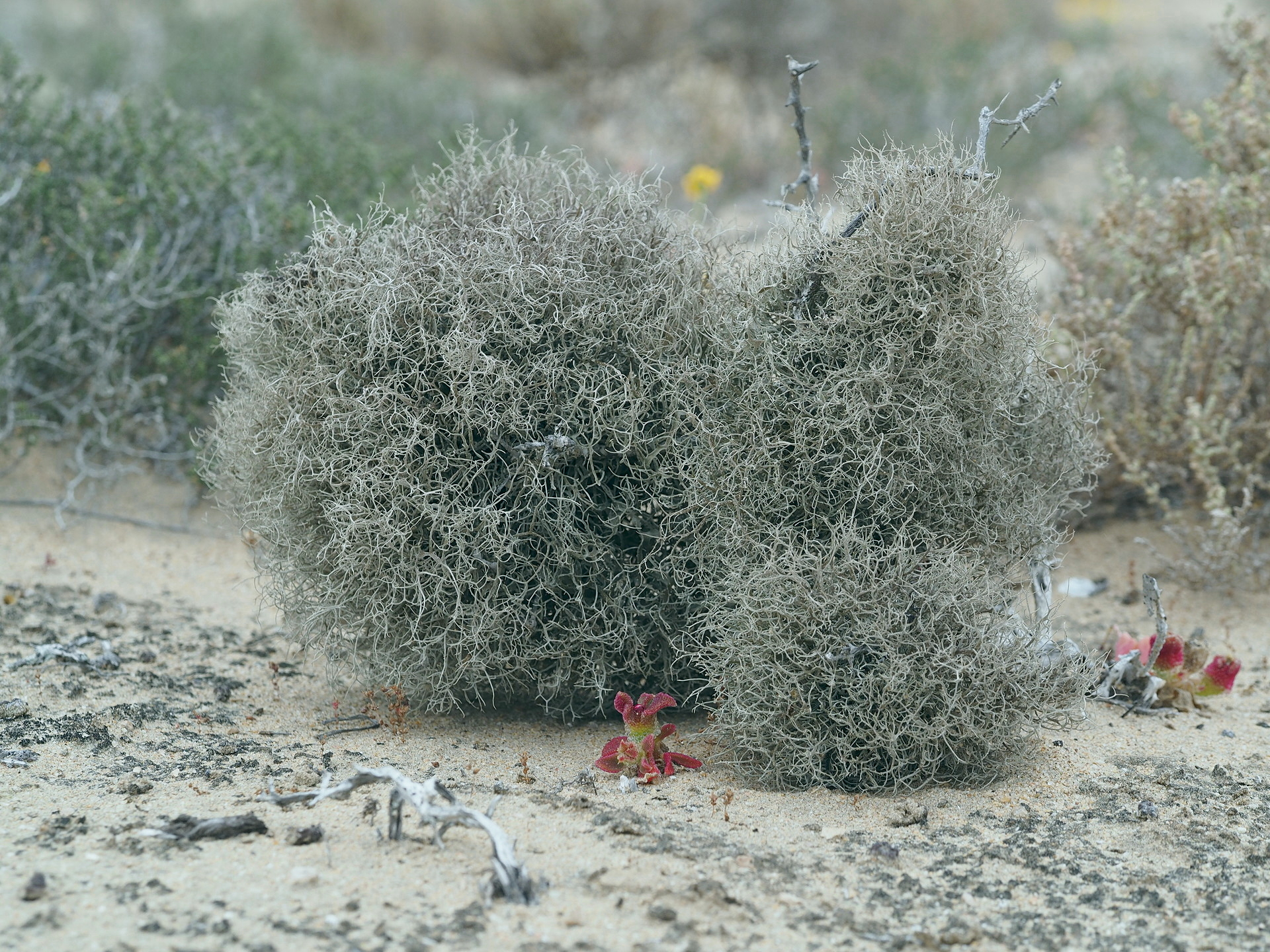
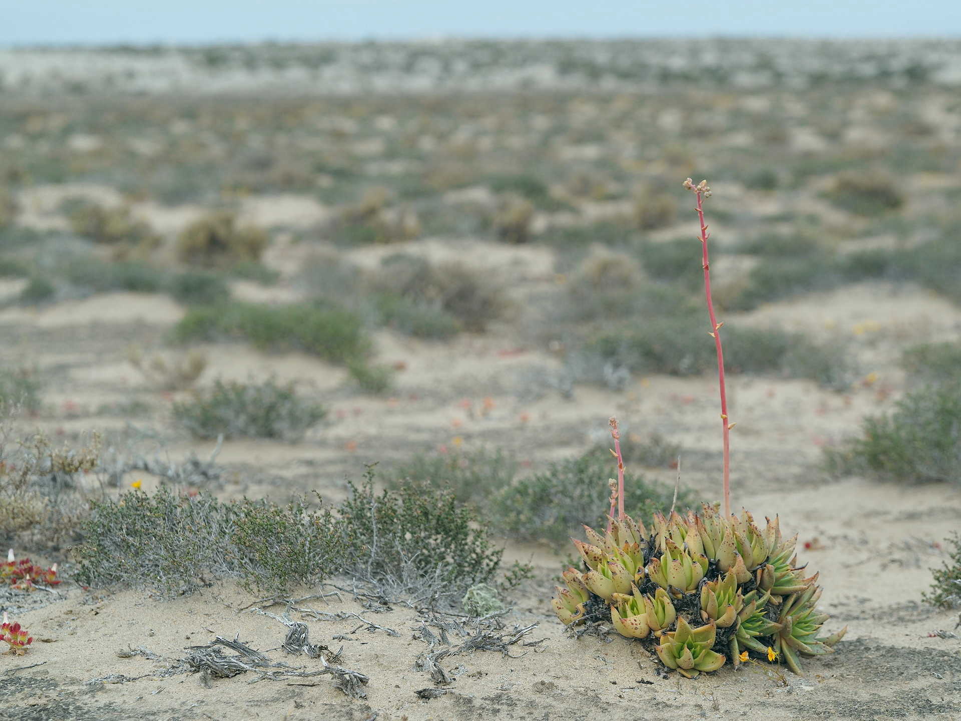
The Vizcaíno plain is one of two relatively flat coastal regions along the Pacific coast of Baja California. It is similar to the more apparent Magdalena Plain, and is a result of wave action (tombolo) over many thousands of years that has accumulated coastal sand between the inland mountains and the hills separated from them to the west – along the Vizcaíno peninsula. It has a marked maritime climate with steady winds from the northwest for most of the year. The low stratus clouds penetrate far inland here and the main town of Guerrero Negro is cool and cloudy on most days – even in summer. Near the coast there are few to no tall cacti, but instead dense lichen fields both on the sandy surface and on the taller shrubs and succulents.

Near Guerrero Negro the landscape is particularly flat and sandy, and most travelers will pass through this region without stopping, on the way towards San Ignacio. But there are a few interesting aspects to the region – even if you don’t make the side trips (described below) to Bahia Tortugas, Punta Abreojos or the Sierra San Francisco.

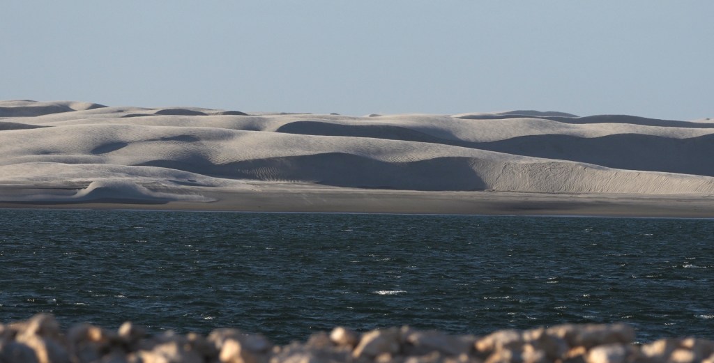
An interesting Google Earth time lapse animation of the sand dunes just west of Guerrero Negro is here. It shows the dunes moving from the northwest towards the salt marsh, where the tidal currents quickly remove the sand. The sand for the dune fields is continually replenished by sand transported along the beach.

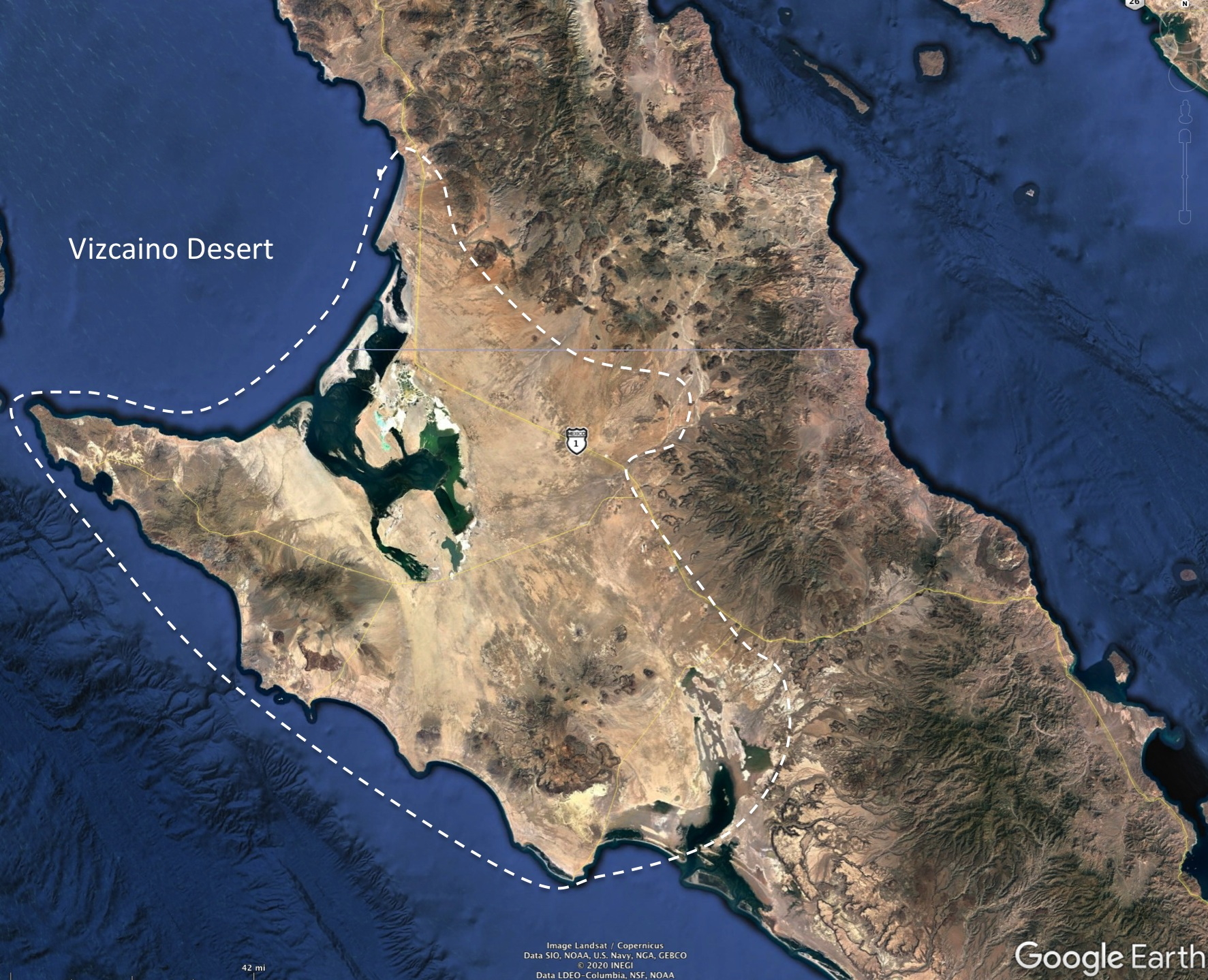
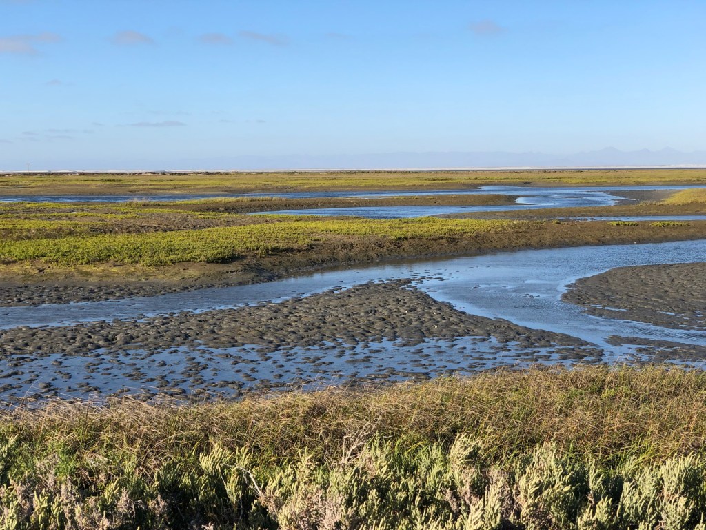
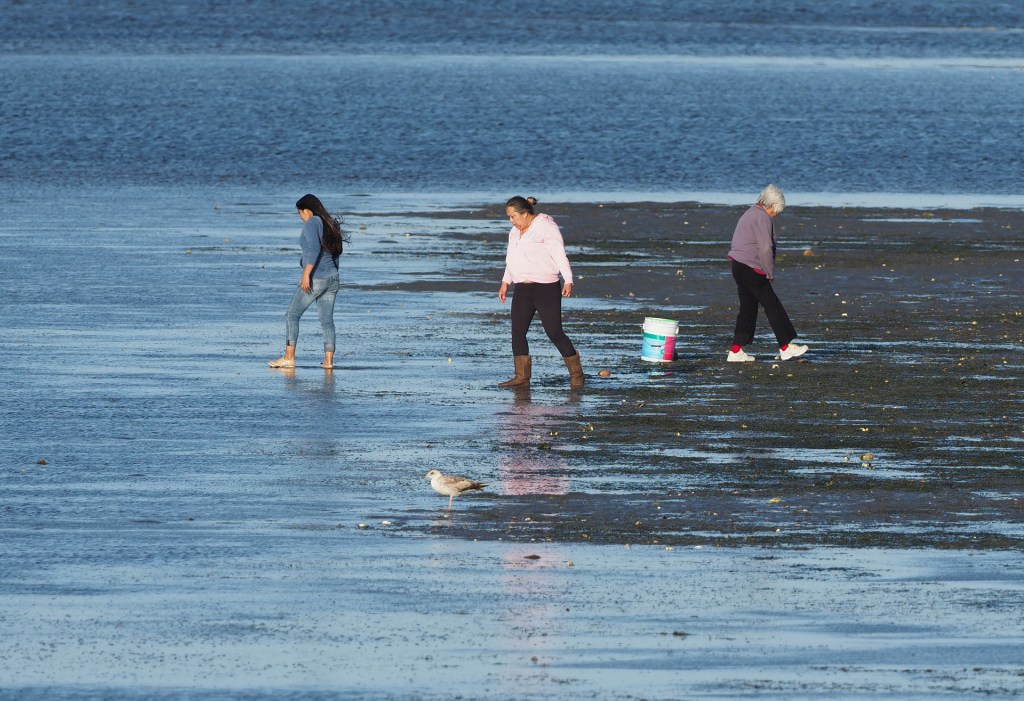
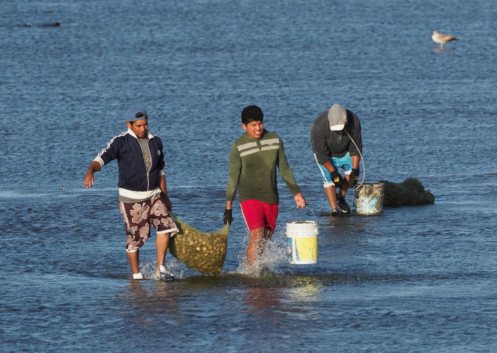
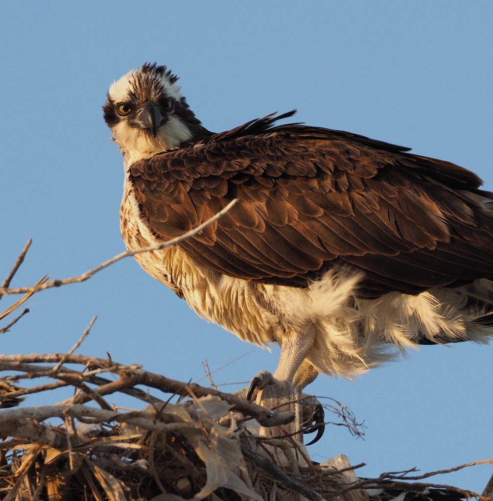
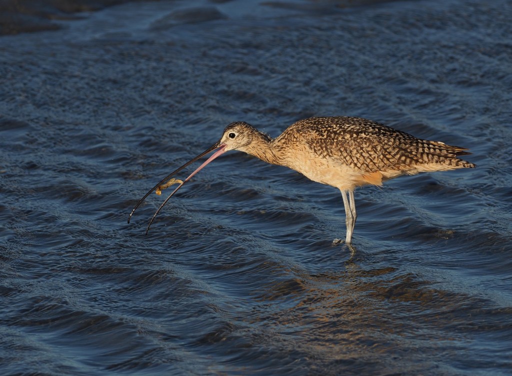
Most tourists that stop at Guerrero Negro do so 1) because there are no good hotels anywhere else between Cataviña and San Ignacio (a 240 mile stretch) and 2) they want to see Gray Whales during their wintering period in the nearby Scammons Lagoon. However, despite the very flat terrain on either side of Guerrero Negro, this is an interesting fog-affected landscape with species that are well-adapted to sandy conditions. Also, the coastal salt marshes are rich in wading and shore birds and are accessible via a long dirt road (in very good condition) that extends into the marsh.
Click on any image below to start stepping through the images – text accompanies each image.

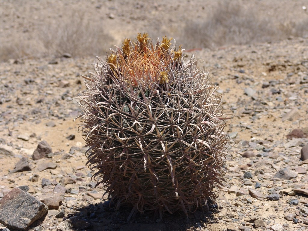
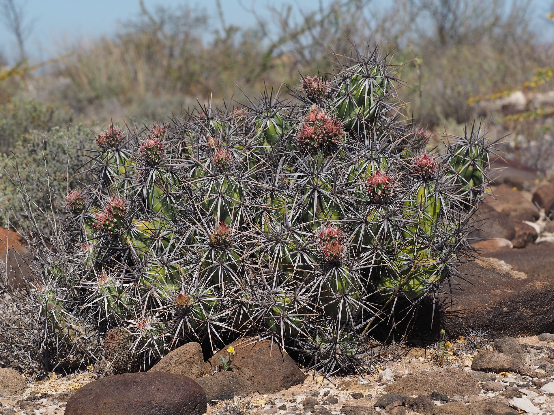
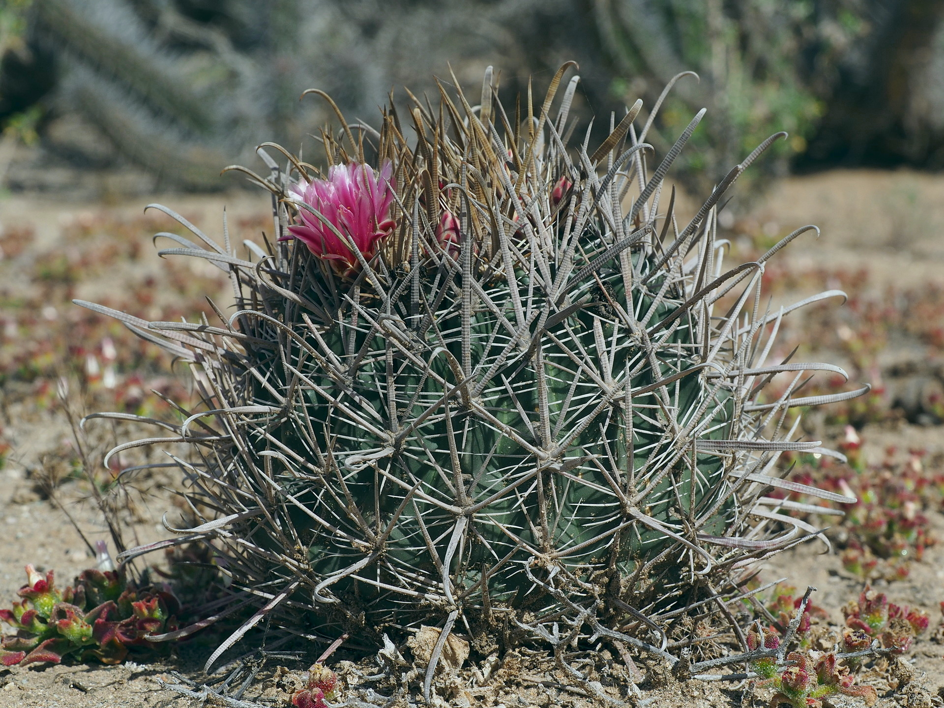
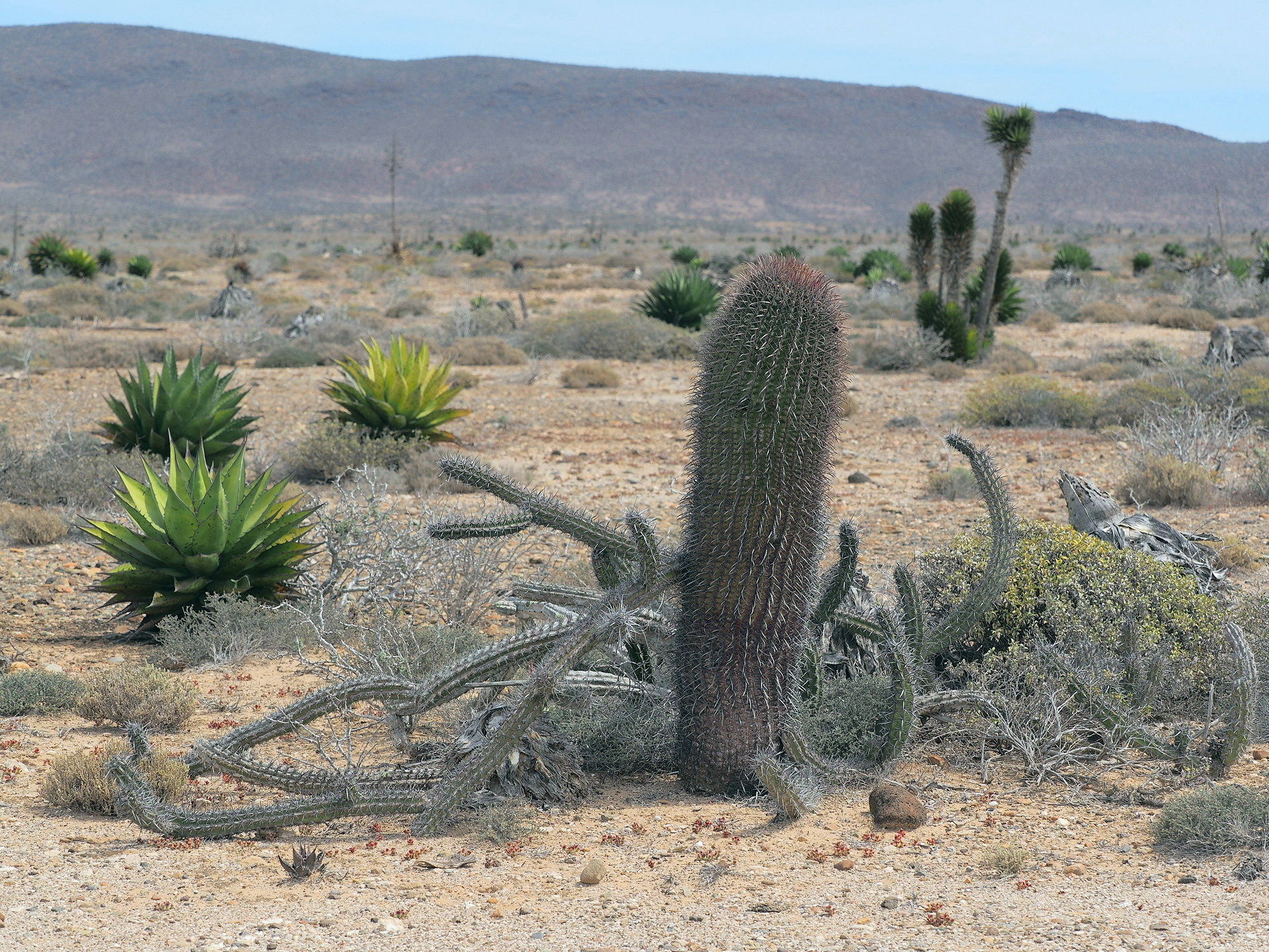
Road to Bahia Tortugas This road passes by sand dunes in one location and on this stretch there are spectacular examples of barrel cacti with very twisted spines. Also, nice examples of low-growing elephant trees (Pachycormus discolor). The town of Bahia Tortugas doesn’t offer many natural history attractions, though access to the ocean always offers some potential for shorebirds and intertidal organisms. We did not drive this road in 2019, but only in 2004.


Road to the Sierra San Francisco
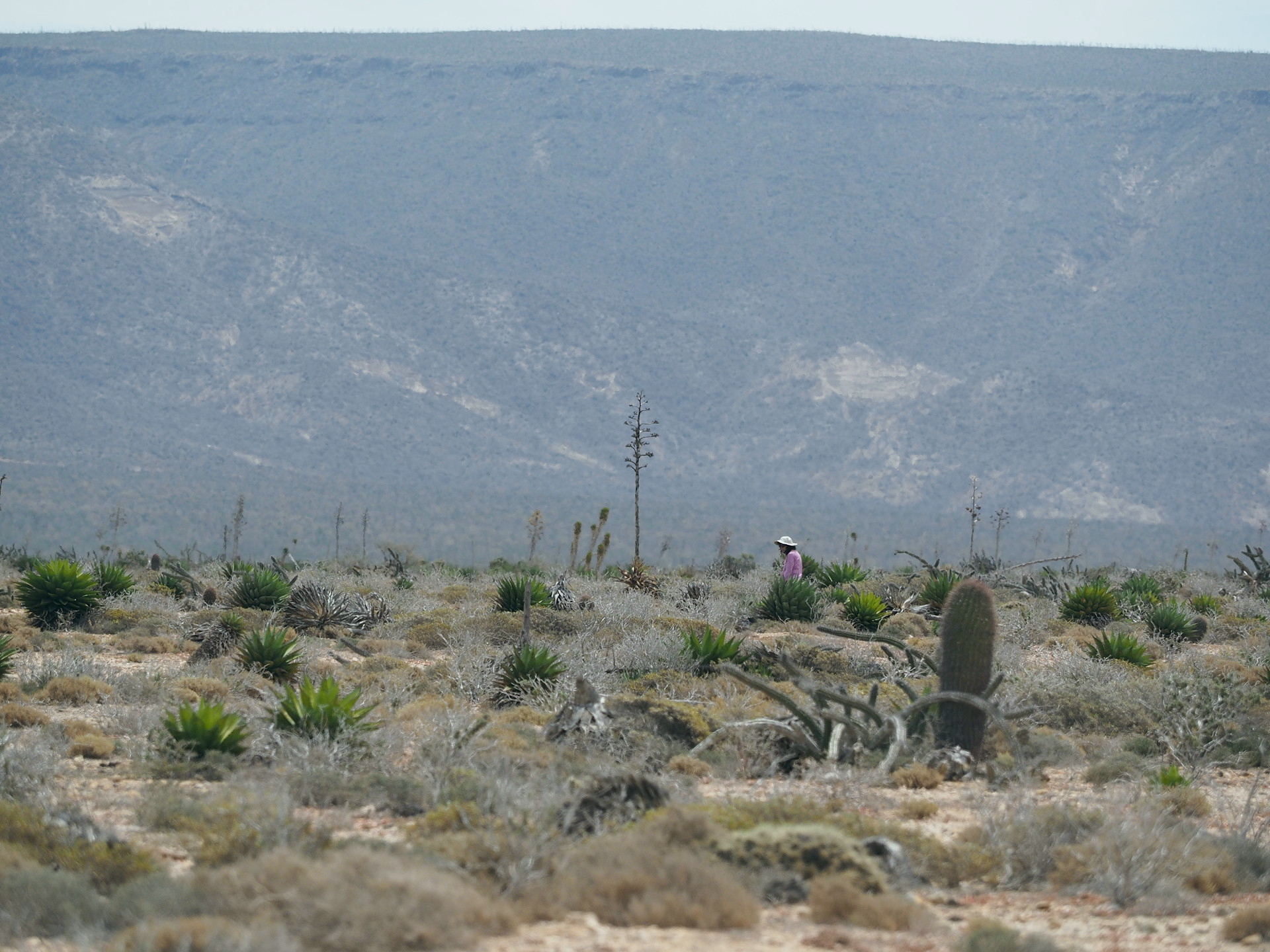
This side road might be included in the Sierra La Giganta or even the Central Desert section – it starts at low altitudes and ascends to about 4000 ft and traverses older volcanic landscapes. Near the end of the 20 mile paved road it passes next to a stand of Cirio trees at the extreme southern end of their range. From this location views of some higher peaks of the Sierra San Francisco are possible, and with binoculars one can see “forests” of Nolina brandegeei – an arborescent Nolina. This Nolina is found in isolated patches on the higher peaks of central and southern Baja California – except where it is replaced south of La Paz by the similar looking Nolina beldingii. However, like many Cape endemics, the average naturalist will not see it unless they mount a overnight hike to the higher altitudes of the Cape mountains. Images from the higher elevations are included in the Sierra la Giganta section of this webpage.
Road to Punta Abreojos
We have not taken this road but it leads to an alternative place to view Gray Whales during their winter stay.
Click on any image below to start stepping through the images – text accompanies each image.


