Regions of special interest
What determines cloudiness?
The formation of clouds can be made as complex as one wants – depending on the audience. If you are reading this you are hopefully a biologically-inclined individual and have limited background in the atmospheric sciences. Recognizing this, I will attempt to make this material simple yet accurate, and provide enough material for you to appreciated the results that are presented in the following sections.
Clouds are composed of very small water droplets or if the temperature is cold enough – of ice crystals. Cloud droplets are much smaller than rain drops, and if there is fog (defined as cloud at the ground) the actual droplets are easily seen at night with a flashlight. They are small enough that they don’t fall out at an appreciable rate (their terminal velocity is very small – typically around one cm per second but depending on their size) can will remain suspended for a long time.
Clouds are produced by moist air coming to saturation and water vapor present in the air condensing on cloud condensation nuclei (small dust, salt particles etc) in the atmosphere. The details of this a complex but condensation typically happens by cooling the air. This most commonly happens by lifting of moist air. Fog forms by cooling the air by contact with the underlying surface. Nice summaries of the processes responsible for the formation of clouds can be found here and here.
Now consider what can produce clouds via lifting of moist air.
Planetary-scale circulations: These are the major features of the global atmospheric circulation that control vertical motions in the atmosphere. Ascent in the intertropical convergence zone (ITCZ), sinking motion in the subtropical high pressure regions, and some modifications associated with the monsoonal circulations mostly associated with large continents. These control the main rainfall patterns in the tropics and subtropics and are shown in every geography text.
While the global patterns are important over the oceanic regions where there is no topography and the surface temperature gradients are weak compared with land areas, they can be dominated by small spatial scale effects over land areas.
Consider the example of the Hawaiian Islands. Consider the largest island, Hawaii. on most days the island is bathed in winds from the east or northeast. The heaviest rainfall is on the upwind side of the island with values reaching about 300 inches per year. On the lee side the rainfall is much less – with some coastal locations showing under 10 inches per year. And the annual precipitation at the highest elevations (near 4000 m ASL) is about 10 inches.
While it is hard to estimate the true rainfall in the vicinity of Hawaii from over-land measurements the nearby small, relatively low (<500m) altitude island of Kahaloowe shows values around 15 inches. Precipitation estimates from satellite suggest 25-30 inches annual precipitation for the region of the Hawaiian Islands. Thus, a large island like Hawaii both greatly enhances precipitation on the upwind side and decreases it on the downwind side. However, there are many subtle patterns that don’t quite fit this simple explanation.
Synoptic-scale weather systems: Day to day variability of weather and rainfall exists as most everyone living on Earth is well aware. Much of this variability is associated with large patterns in the atmosphere that are only modestly affected by the underlying surface. In mid-latitudes the daily variations are associated with alternating cyclones and anticyclones that are a result of the large north-south temperature contrast between polar and tropical regions that give rise to these eddies that effect the maintain the heat balance in both zones. Without such eddies the tropics would continue to heat up and the polar regions would continue to cool – the eddies effect the transfer of heat from low to high latitudes.
Although the synoptic weather variations are important for daily weather variations, when averaged over a year their effect is smoothed out and the impact of particular events becomes unclear. They do not strongly affect the longterm precipitation climatologies of particular regions. The same is true for tropical synoptic scale features such as tropical cyclones and tropical waves. they modulate the daily weather but do not appear in the climatologies of precipitation (except when considering extreme event climatologies).
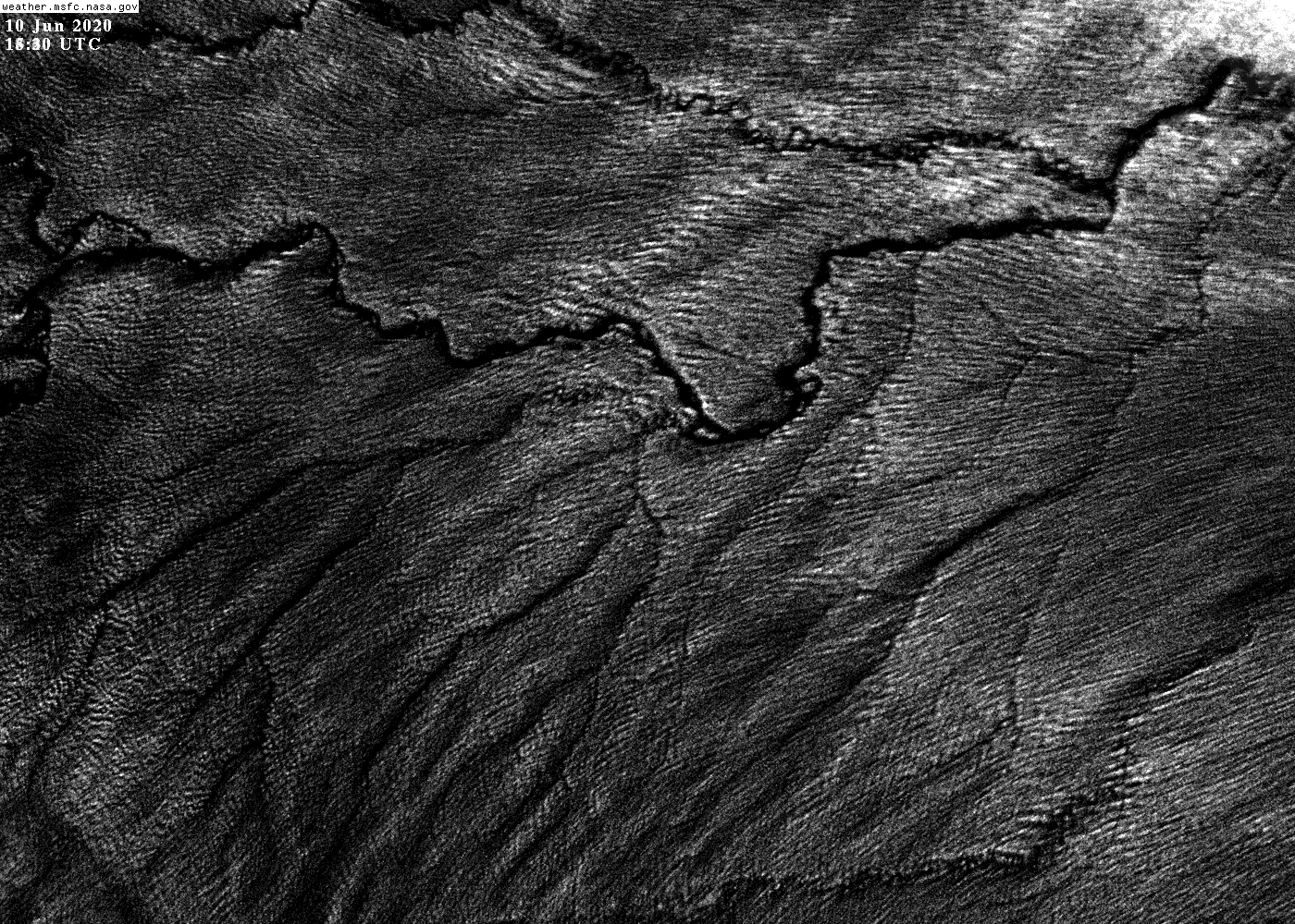
Flow over terrain: The most important modulator of mean cloudiness and precipitation is associated with the interaction of airflow and the underlying terrain. The lee-side dry zones associated with major mountain ranges are well known, though such simple explanations are often overused to explain climatological precipitation patterns.
Vertical motions associated with sea- and river-breezes: These features are major modulators of rainfall in the tropics and are discussed at some length here – at least their impacts on climatologies.
Sea breezes are well-know to most people in the mid-latitudes who live near the shore of an ocean or large lake since they are apparent on many summer days when the temperature contrast is largest between the water and land. What many don’t realize is that their impact on local climate is much larger in the tropics where the synoptic variability is less and the diurnal solar eating is stronger. Thus, these circulations can easily dominate day-to-day weather variations. And, because the water vapor is higher in the tropics due to the higher ocean temperatures, heavy rainfall is possible from moderate lifting of this air. The mechanisms have to do with the conditional instability of the tropical atmosphere where forced ascent of surface air by sea-breezes often leads to the development of deep convective clouds (“cumulonimbus/thunderstorms”).
The mean diurnal cycle of precipitation is readily apparent over the Maritime Continent. The mean for the months of March-May is shown here. (LST is local standard time.) Such a diurnal signal is also apparent over the southern US during the (June-August) period.
River and lake breezes are less apparent to many people than sea breezes, but they are important in modulating cloudiness around large rivers in the tropics – especially the Amazon and its tributaries.
Both sea- and river- breezes are associated with the difference in the heat capacity of the surface. There is another type of breeze that can be generated by land surface differences – one associated with the albedo difference between surfaces. (Albedo is just the fraction of the incident radiation reflected by a surface, for a completely black surface it is zero and for a completely reflective surface it is 1.) Although albedo breezes have rarely been well documented they must certainly exist – a black lava flow next to a salt flat must certainly result in a strong mid-day temperature contrast. Whether these albedo differences exist over a large enough area to generate appreciable winds, vertical motions and cloudiness variations is another matter.
North America
This section includes: sky islands in the SW US and NW Mexico, California coastal cloudiness, Appalachian Mts, sea breeze effects Florida and Yucatan, Mexican dry valleys and Central American meso-climatological aspects.
South America
This section includes: coastal Chilean and Peruvian lomas, East Andean slopes from Venezuela to Argentina, Inter-Andean dry valleys, the Caribbean dry coastal strip, Merida dry valley, Quito, Medellin and Colombian valleys, Peru, Bolivia (La Paz and Cochabamba), Santa Cruz elbow flow, Tucuman, Tafi transect etc.
Mata Atlantica
The Tepuis region
Prominent diurnal circulations
Ecuador satellite cloud climatology for the IBS 2019 Quito meeting
Africa
Red Sea and Somalia escarpments
East African rift and the volcanoes
West African (Cameroon/Nigeria) details
South Africa and the fynbos
Okavango Delta
Madagascar east coast
Middle East
Black Sea and Caspian Sea slope forests
Syrian/Turkey Mediterranean forests
Oman and Yemen
Socotra
Europe
Spain
Asia
The Western Ghats, Himalayan foothills, Indonesia mountains, the Philippines and SE China.
Australia
The moist tropical coastal strip in the NE
SW Australia
Tasmania
Oceanic islands
Hawaiian Islands
Canary Islands
Cape Verde Islands
The Antilles and Caribbean Sea region
Guadalupe and Cedros Islands
US Channel Islands
Reunion and Mauritius
Comoros
The Galapagos
Cameroon Islands
