This page is motivated by many years of travel in Mexico to explore aspects of the natural history of the country. Most exploration was focused on the succulent plants for which Mexico is very well known. It has the greatest diversity of cacti of any country and also has the largest diversity of Agaves, Yucca, and many Crassulaceae. Much of this is tied to the topographic diversity and associated climatic variations that have led to the evolution of many limited-distribution plants.
The botanical community in Mexico is relatively well-developed at universities and in some branches of the Mexican government. Probably most Mexican households have succulent plants among their gardens or on their apartment balconies. Yet, from our observation, there is not a widespread understanding of cacti and other succulents, their environments, and many nature conservation issues. We might be wrong, but we will describe on this page why we think this is the situation. We then suggest a strategy for reaching a relatively large number of people quickly about these subjects.
The problem with environmental education in many countries is that it is restricted to schools, universities or government organizations. Much of the adult public doesn’t participate in activities that build an appreciation of nature. And the objective of meeting global goals of having a certain percentage of a country’s land area “in protected status” are often met by having large parks that are in remote or inaccessible parts of the country. Or sometimes they can be very nearby population centers but remain undeveloped and virtually inaccessible. While protecting large tracts of land in national parks or biosphere reserves is one essential aspect of protecting global biodiversity it does little to motivate people to develop an interest in nature. How to bring large numbers of people to appreciate nature is a major problem for all countries – especially those that are increasingly urbanized.
I gave a talk a few years ago in Bolivia on what I thought were some major environmental issues facing society. I was invited, I suspect, to talk about climate change since I was/am a climate researcher. But that is not what I talked about. My talk is here. Be sure to read the comments associated with the slides. Although I gave the talk in Spanish, the informational text is mostly in English. I hope the readers can follow it. In my talk I also mentioned the need for more ecotourism activities – aimed not at foreign tourists by national travelers. Without it, it will not be possible to protect nature in any country – especially developing ones.
The idea that I describe below was drafted up many years ago for a possible article in the Journal of the Cactus and Succulent Society of America. However, it never was completed and I was unsure if it would ever be feasible to publish it in that Society’s journal. The growth of Facebook pages such as that for Cactáceas de México en Hábitat have motivated me to try again to present this idea. The intent will be to distribute the idea through social media – with the hope that someone in Mexico may advance the concept.
The “idea”
The idea here is to establish – along major Mexican Highways – a network of small protected areas that display key aspects of the Mexican flora. These places would be small, ideally fenced or clearly demarcated, and with facilities to encourage travelers to stop. These facilities would include clean restrooms, a place to eat, and possibly camping or other places for an overnight stay. The most important facilities would be the education center and the associated nature trails winding through the natural terrain. Well-maintained trails across the landscape would be the key to attracting visitors.
The proposed areas would be small, but not so small that they would risk being surrounded by undesirable development in a few years as commonly has occurred at sites on the periphery of major towns. Security would be important, both for the visiting public and for the plants, so the distance from the highways would be short – but still far enough away to have low traffic noise. Access would need to be daylight-only (except for guests staying there), and some personnel would need to live on-sight for additional passive security against possible plant poaching.
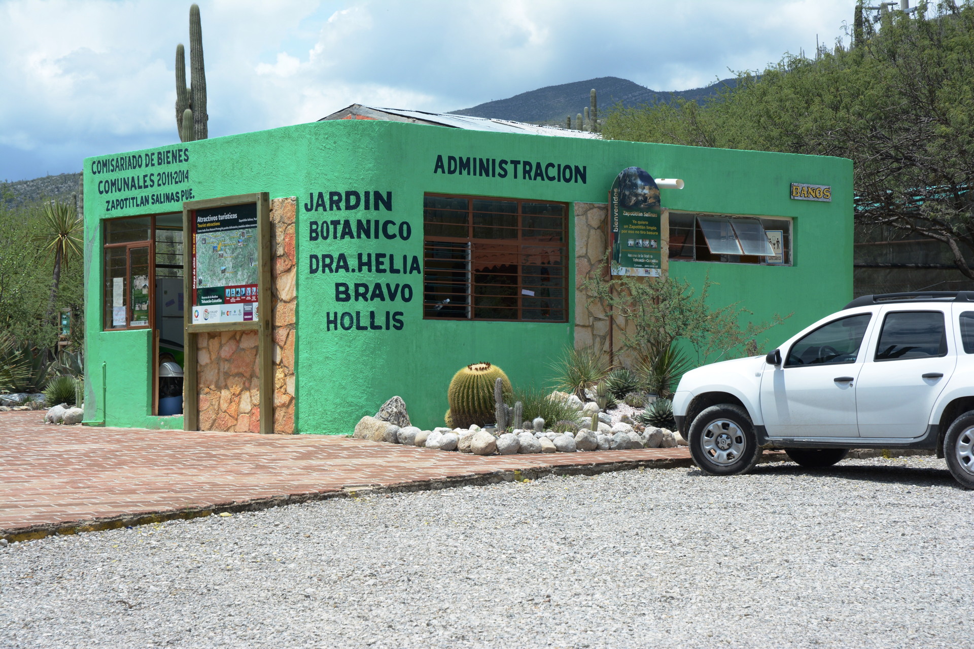
Why small preserves instead of larger ones? Mexico already has many large “protected areas”. However, most of these preserves are large in area but poor in “infrastructure”. There are few well-established trails with informational plaques, few visitor centers with natural history material, and few guidebooks specific to the reserves. Often, there are only limited websites describing the natural aspects of the reserves. And perhaps most serious of all is that these reserves or parks are often in remote locations far from where the traveling public passes. This is the situation with “protected” areas in many countries. As a result, visitation is low. And nature education doesn’t reach most people.
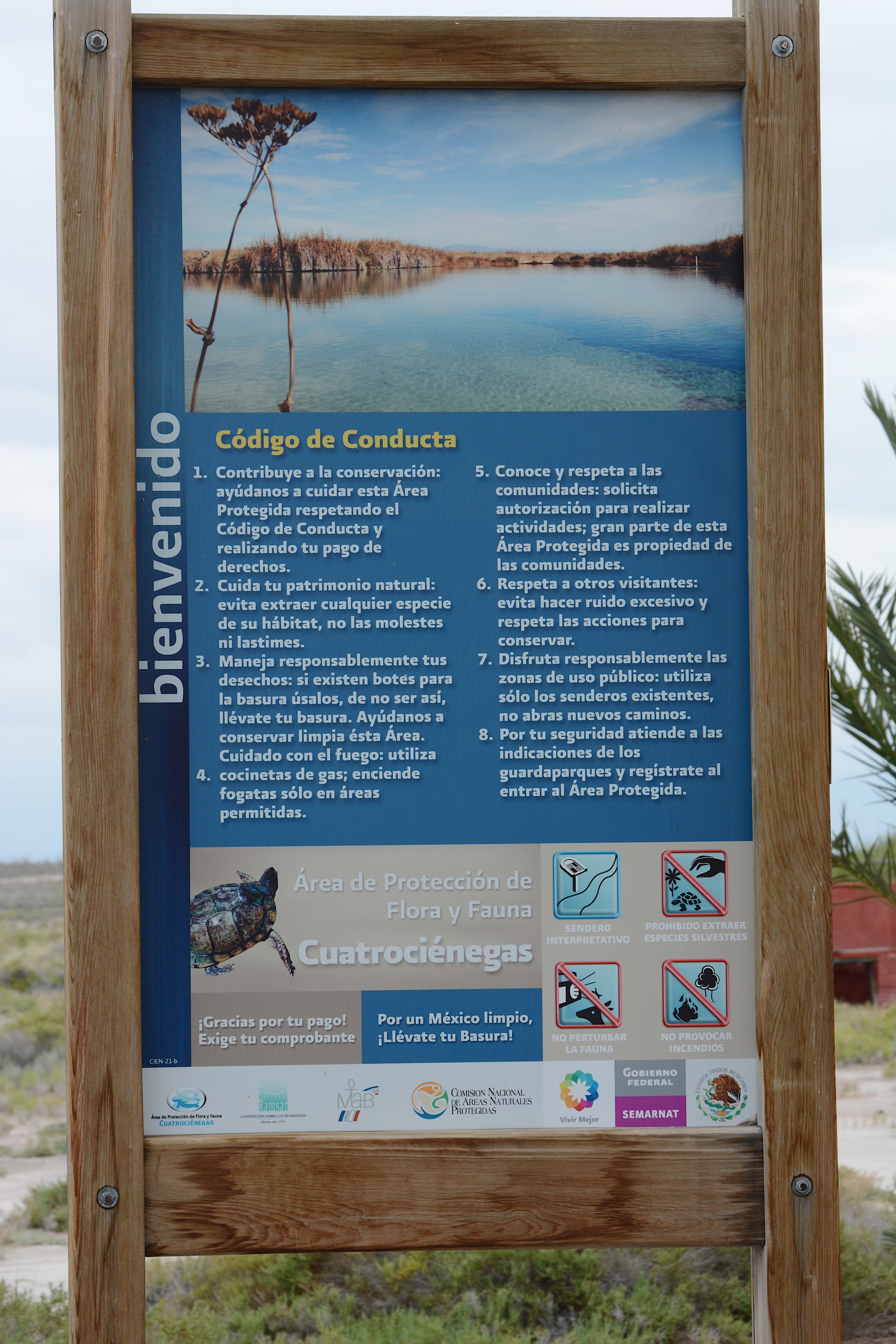
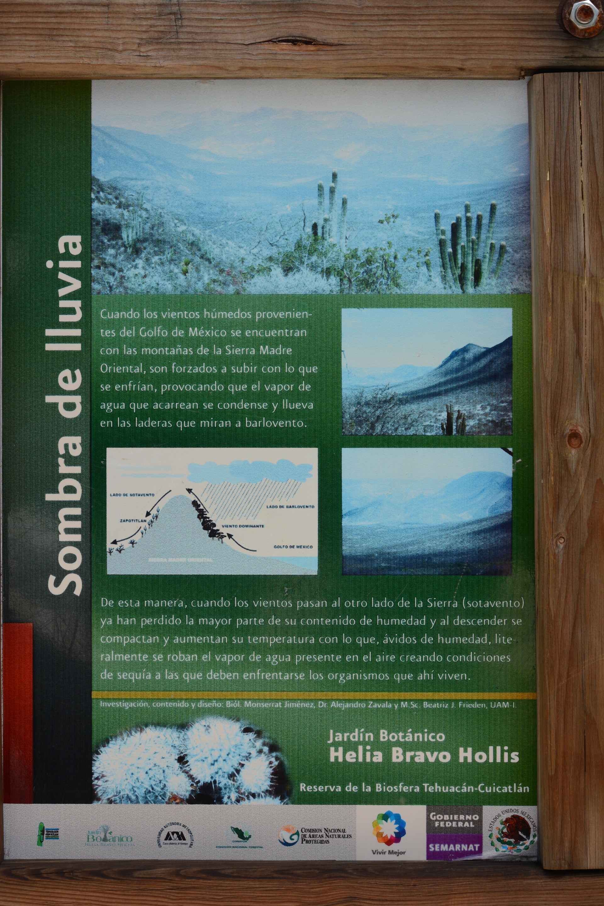
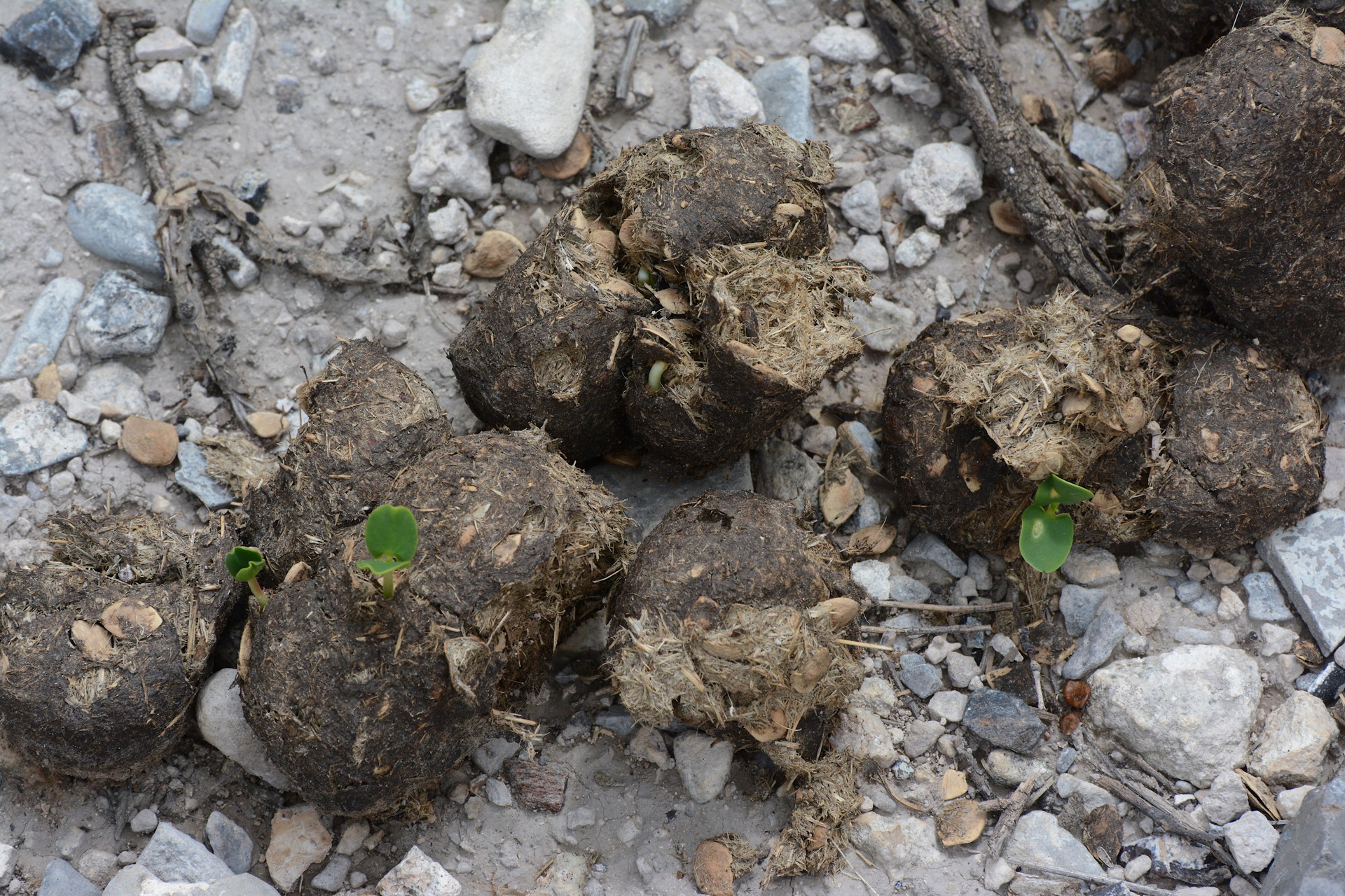
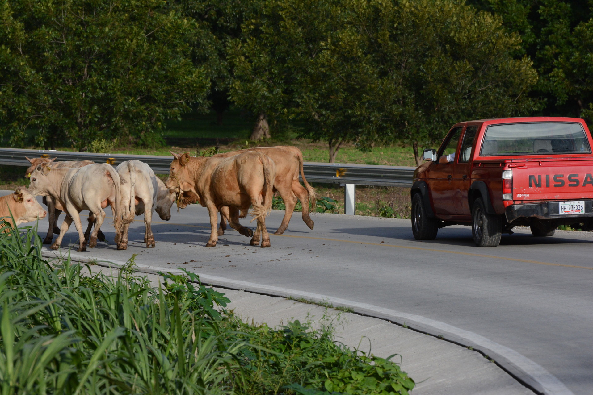
Most Mexican landscapes, even in desert areas, show evidence of cattle grazing (e.g. animal trails, dung and associated flies). This is true in many protected parks as well (see sign below). Our suggestion is that any small-area nature preserves have a zero tolerance for cattle, goats or any other human activities. This may not be easily achieved in Mexico, given the collective nature of land ownership in much of the country.


Although obtaining the land for the educational reserves might be complicated, the land required would be very small compared with most Mexican National Parks or other reserves. No more than several square km would be needed for each reserve and this could be even less. The point of the reserves would not be to protect endangered species or habitats but rather to educate the public. If only a small percentage of the travelers along the highway were to stop and become interested in protecting the succulents and their habitats then this would be a major educational/environmental impact.
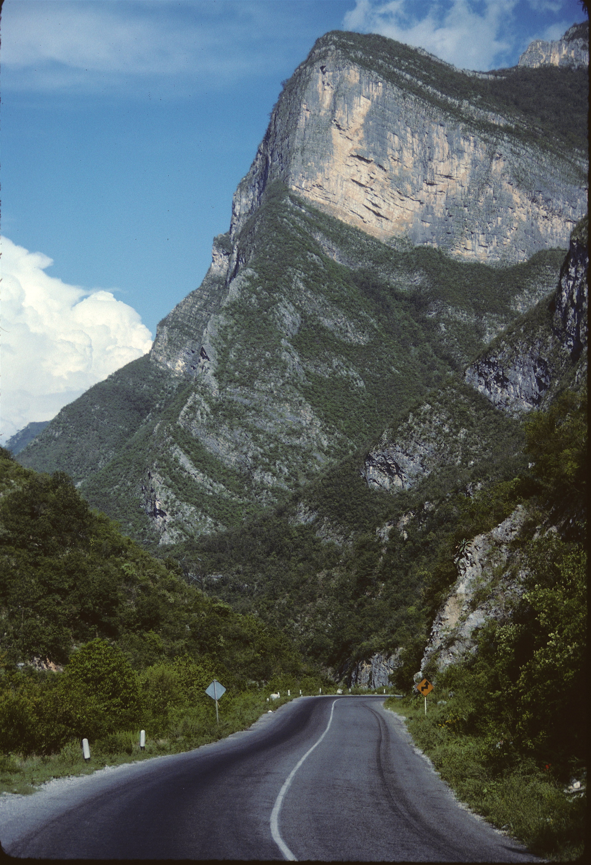
If enough reserves could be connected along key highways (e.g. Highway 57) they might become a touristic attraction in themselves, with each reserve providing different trails and environments highlighting the flora of northern Mexico. Of course, in addition to the flora, some of the more common birds, reptiles and other features of the reserves would be highlighted. Environmental issues and threats would be one component to the reserves. Especially important is the protection of geodiversity and landscapes that cannot recover in less than hundreds of years if they are disturbed. See the image below for an example.

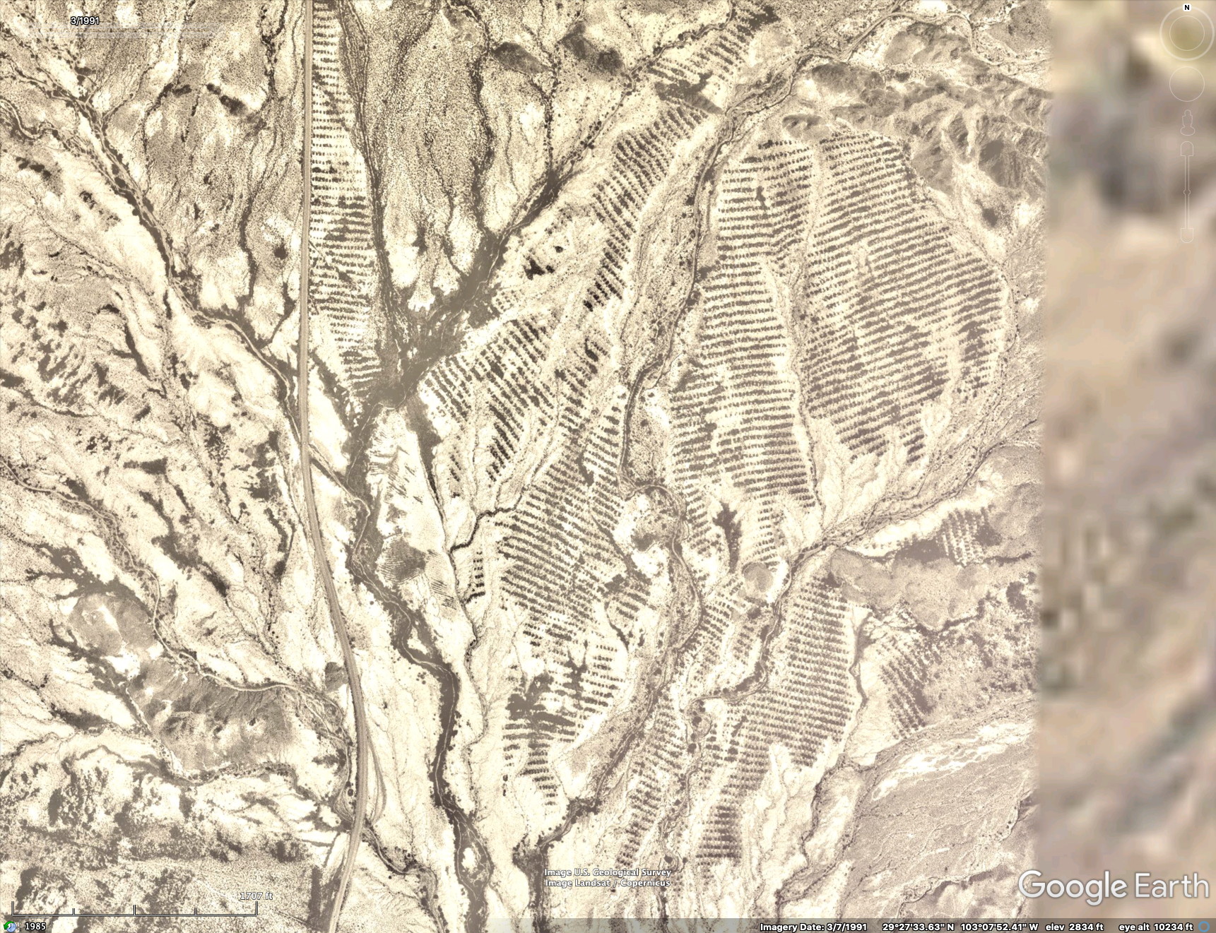
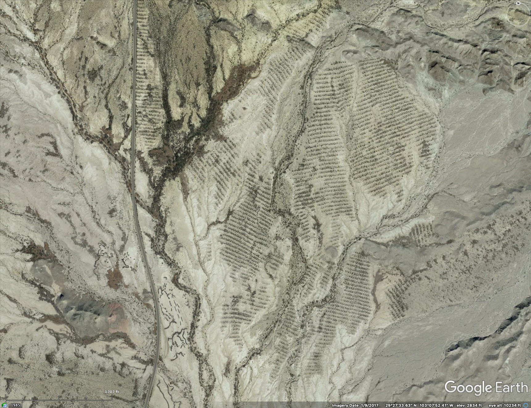
Disturbed landscape in Big Bend National Park in southwest Texas. The obvious banded vegetation was apparently planted prior to the park becoming established in 1946. Image on the left is from 1991, the one on the right is from 2017. The banded pattern has only slightly decreased in the 28 years between the images. The scene is approximately 3 km across.
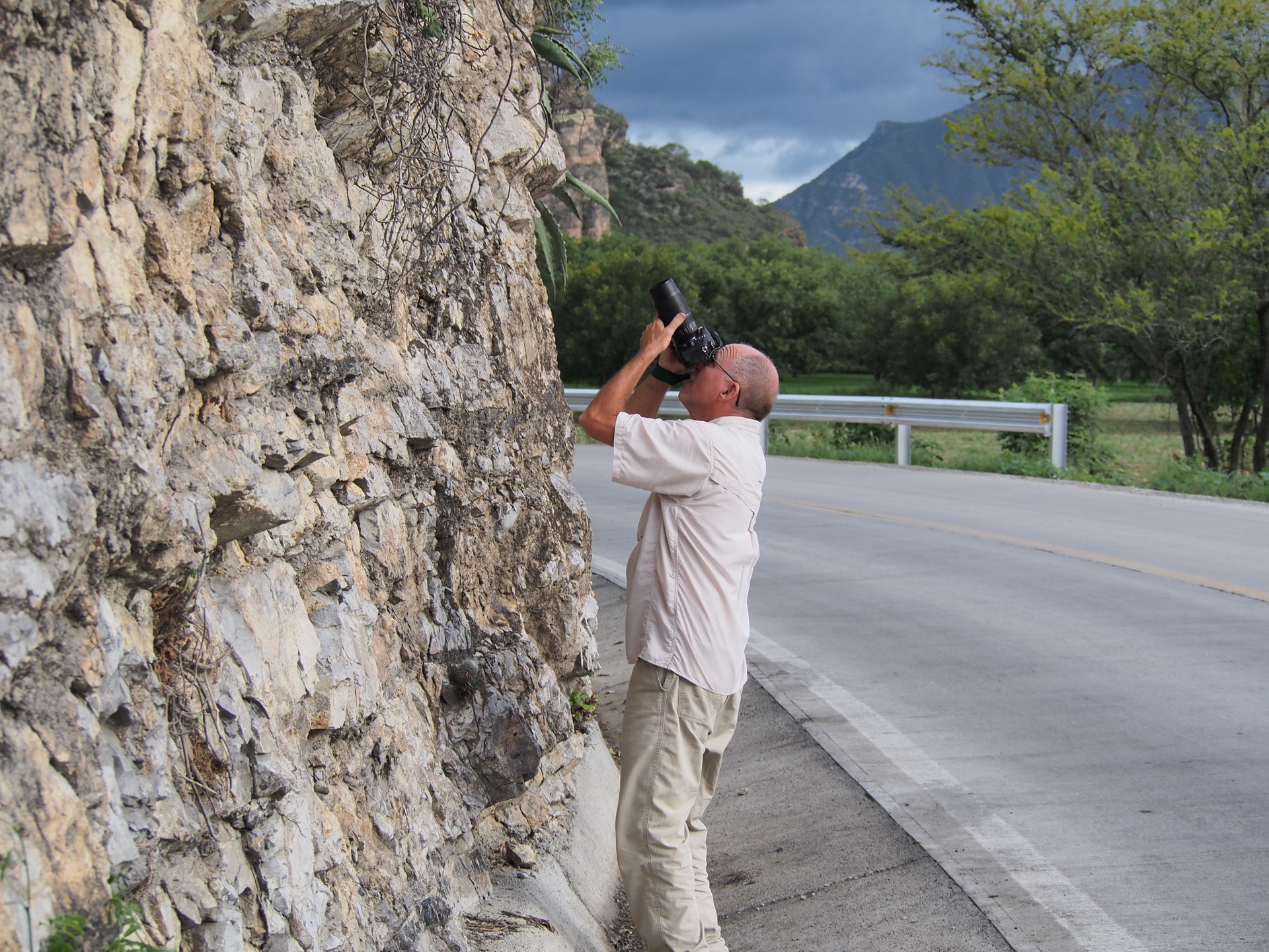
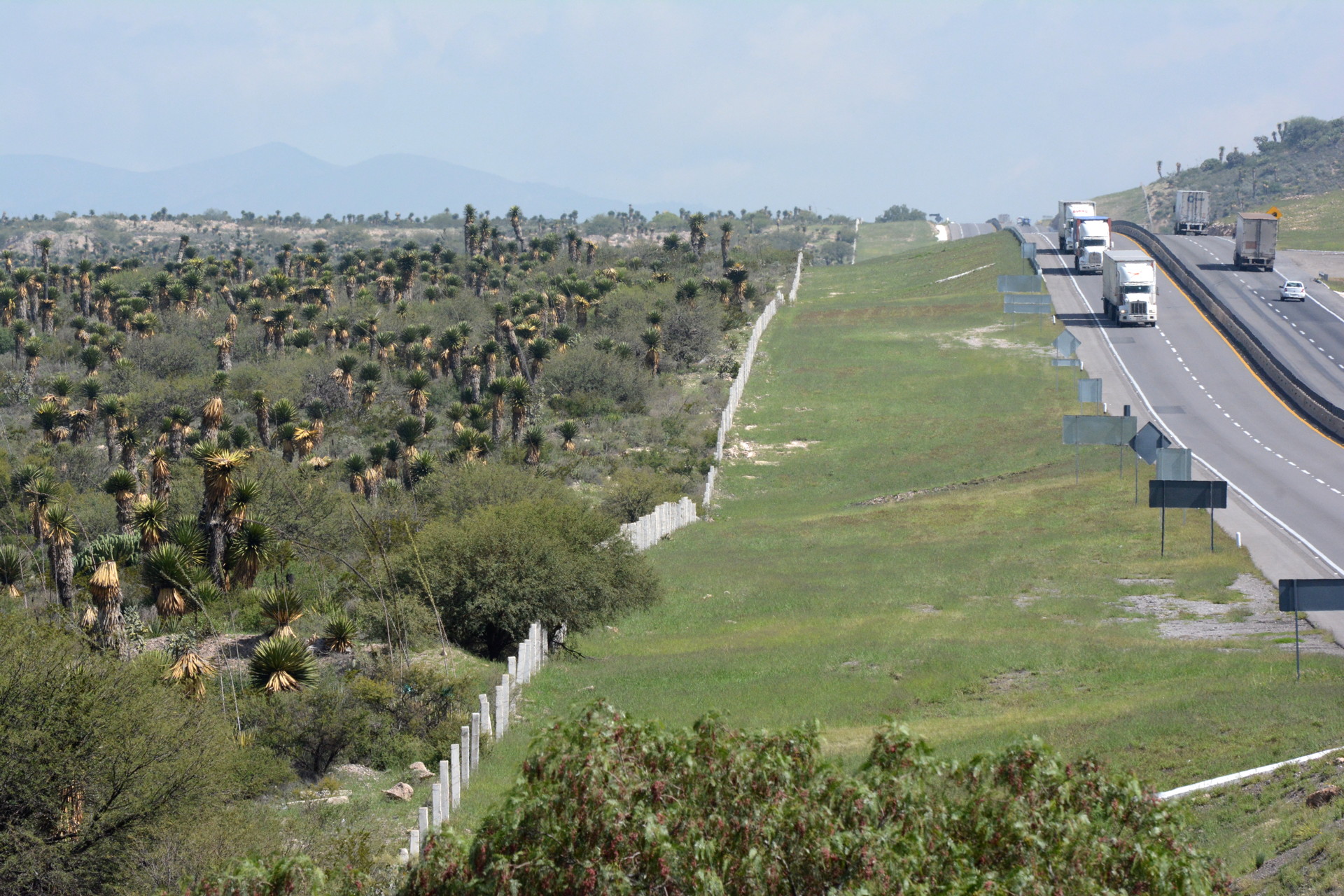
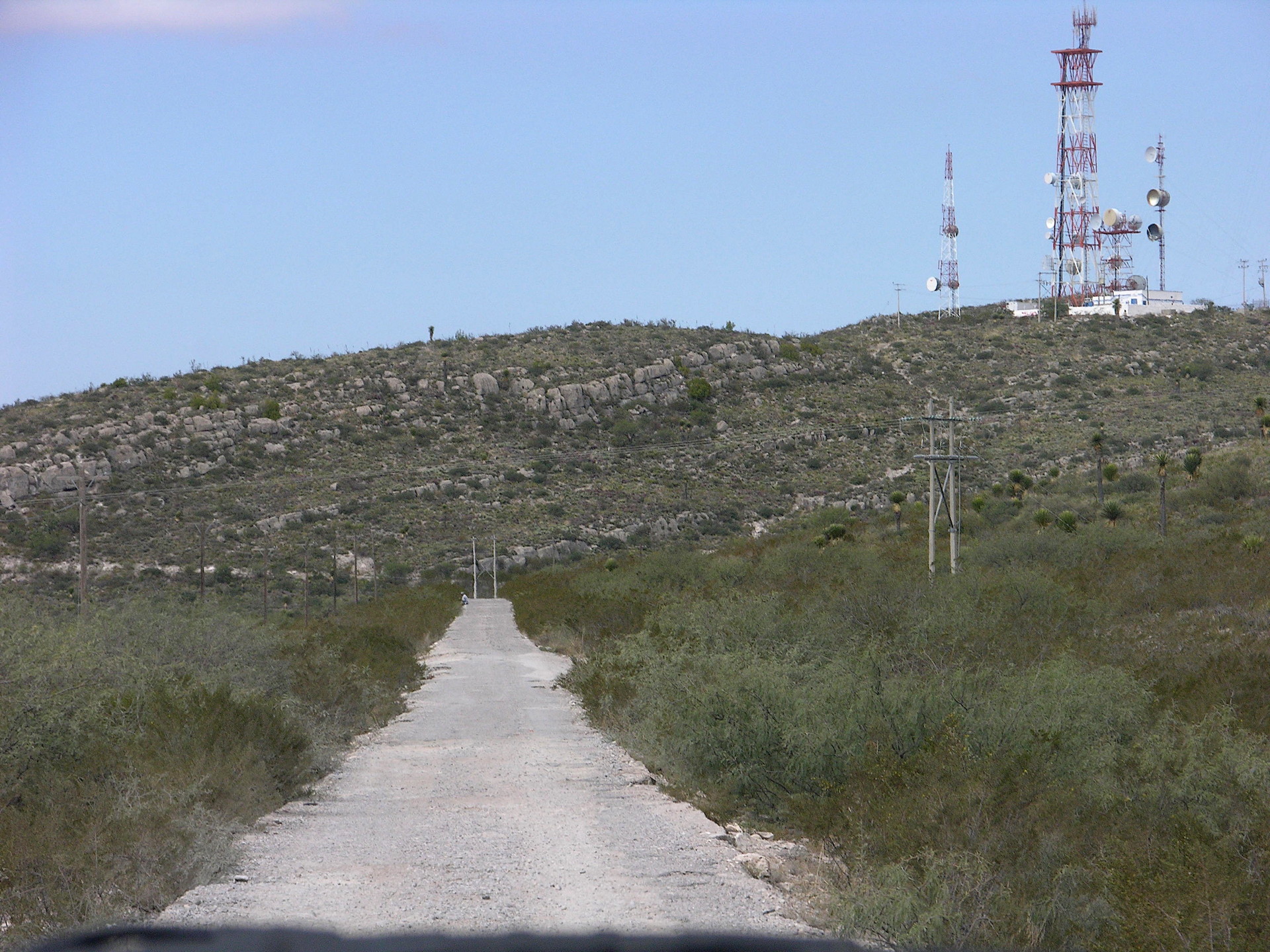
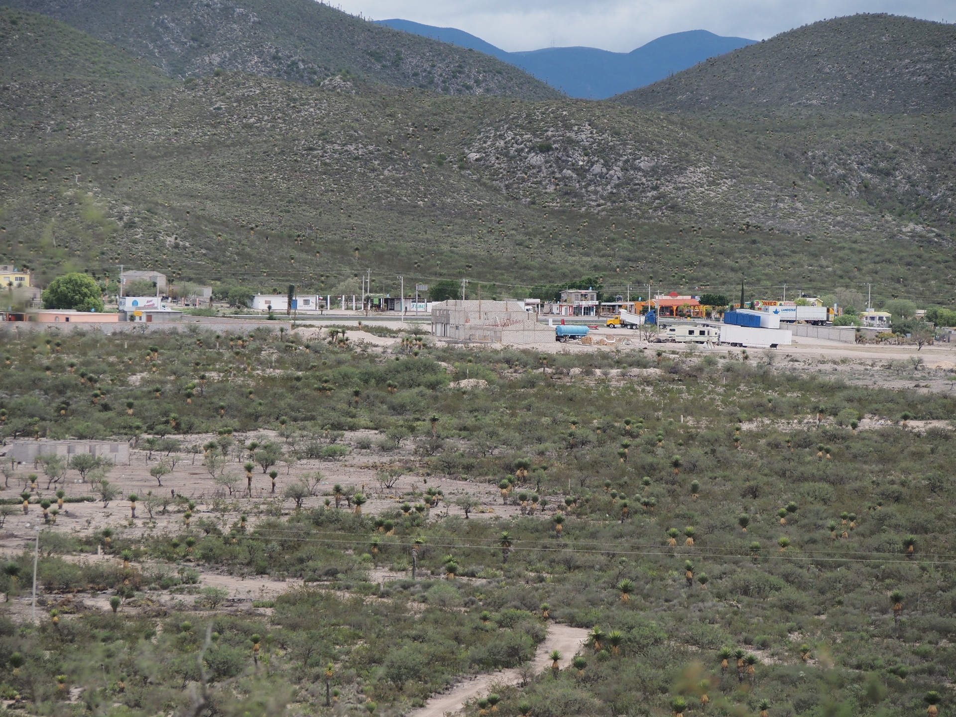
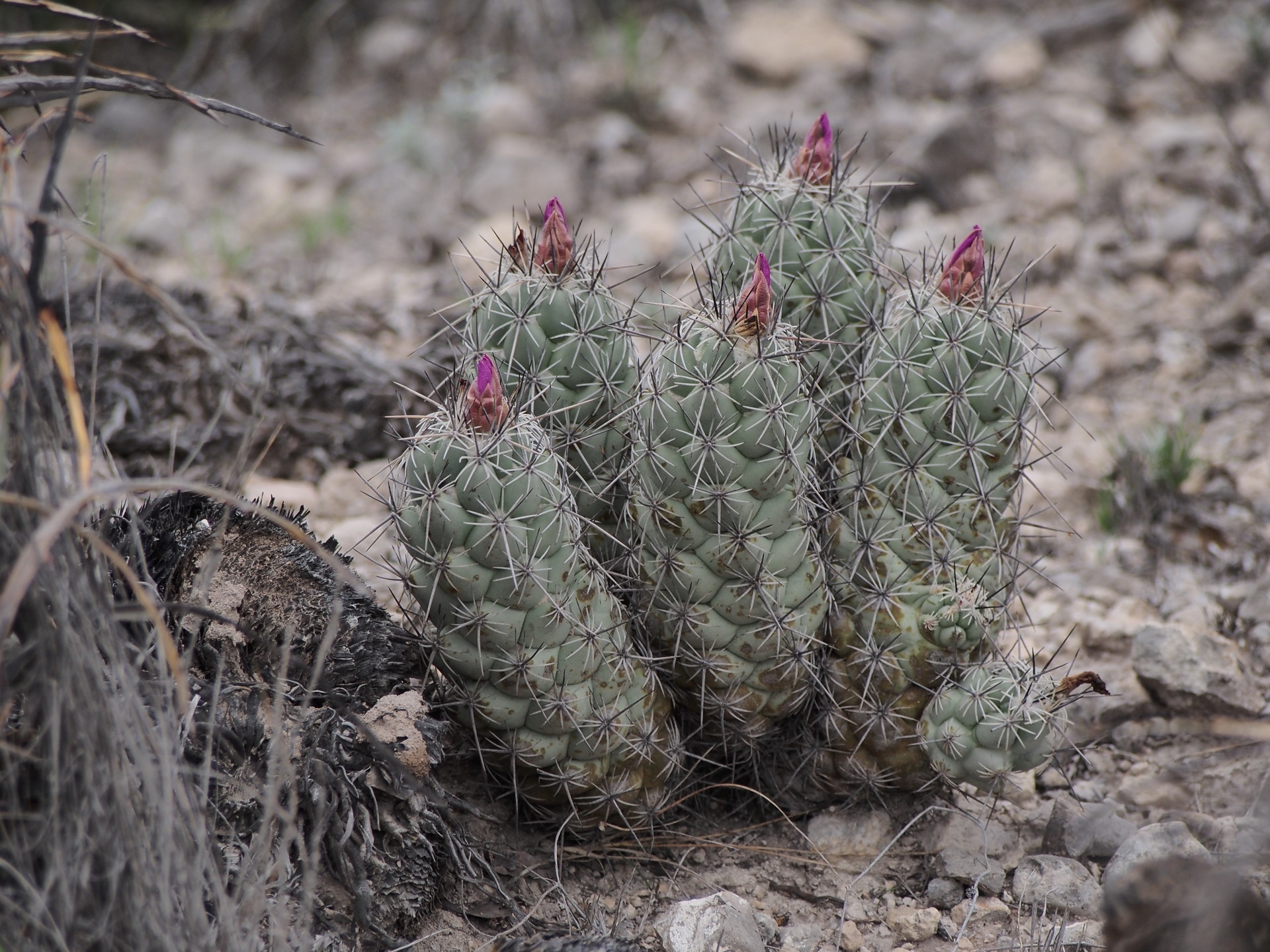
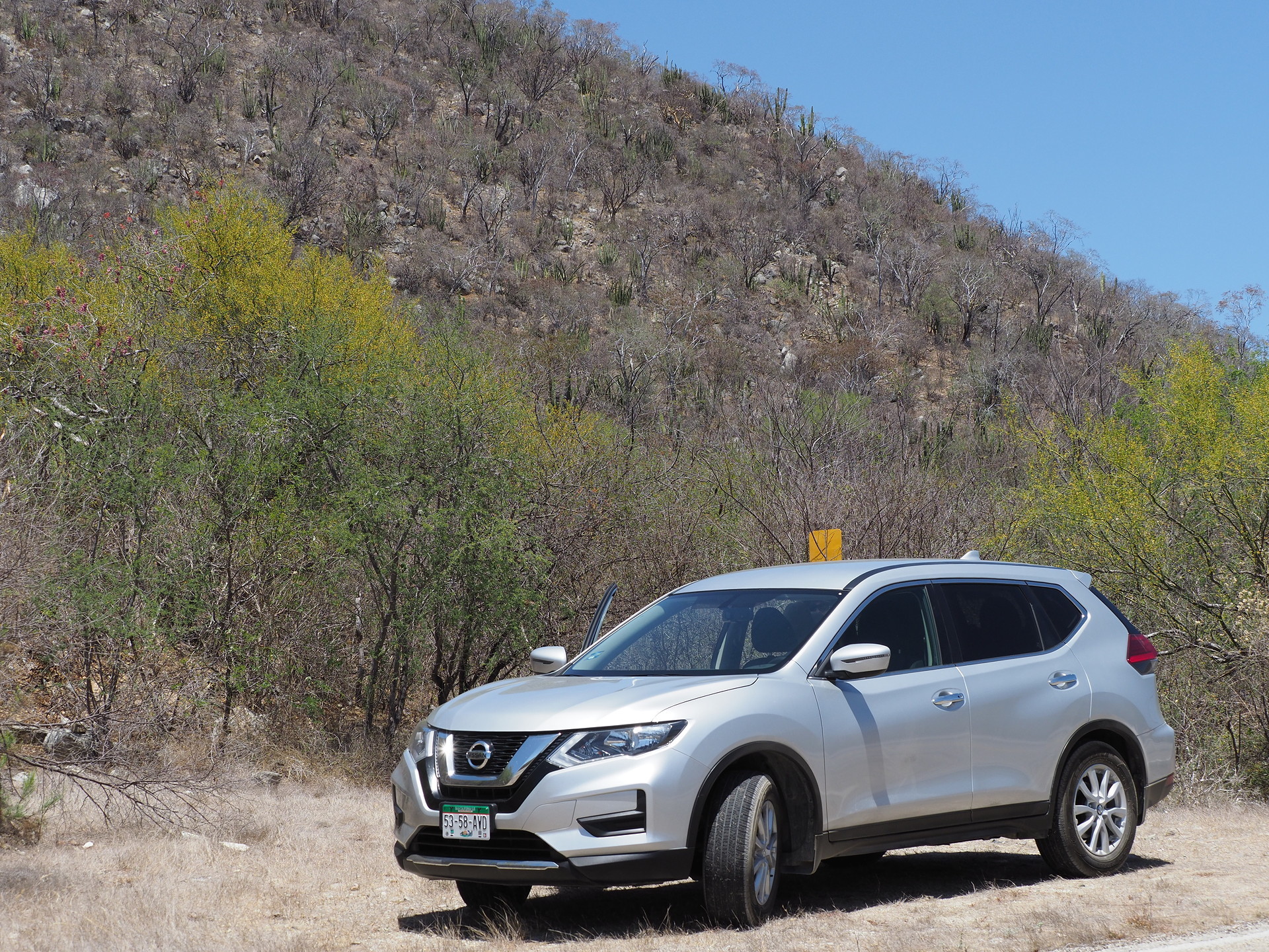
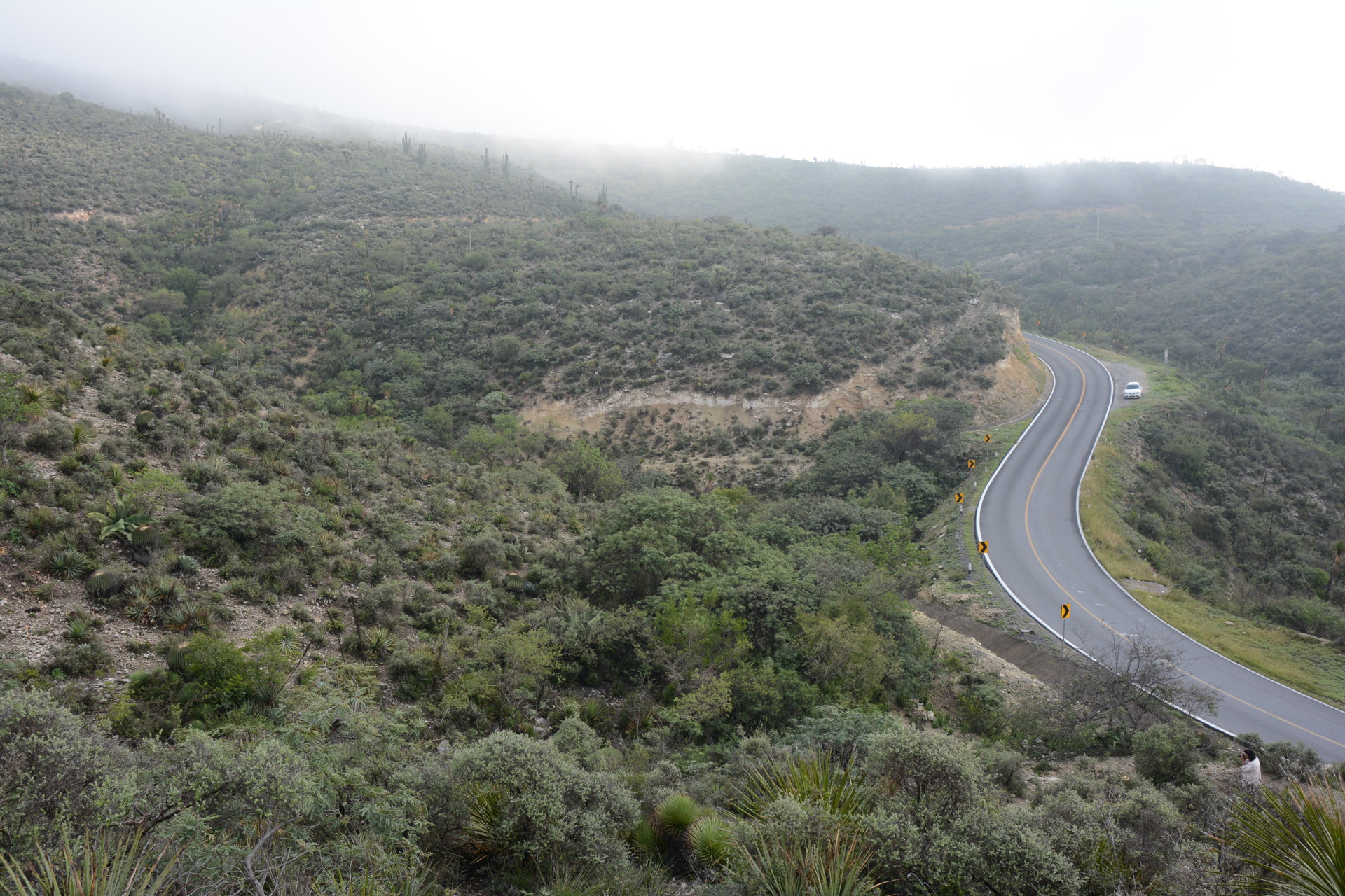
Our motivation for suggesting educational reserves came from the difficulty many years ago in finding suitable places to explore the flora while traveling in northern Mexico. It was difficult to pull-off on many Mexican highways and where it was possible these pull-offs were commonly used as bathrooms by the traveling public, since such facilities were infrequent between towns. This situation remains today. And, since the roads are engineered for economic development rather than scenic driving, rest stops and scenic stops are rare. The autopistas are especially bad for this, since they are fenced and exits are rare. As a result, one can drive the entire network of Mexican Highways without developing a close appreciation of the flora of the country – especially those species that are small (e.g. Mammillaria, Turbinocarpus, Astrophytum etc) and cannot be seen or appreciated at highway speeds. Most travelers do not stop in the countryside (again, unless for a bathroom break). In part, this is because they don’t know what is there.
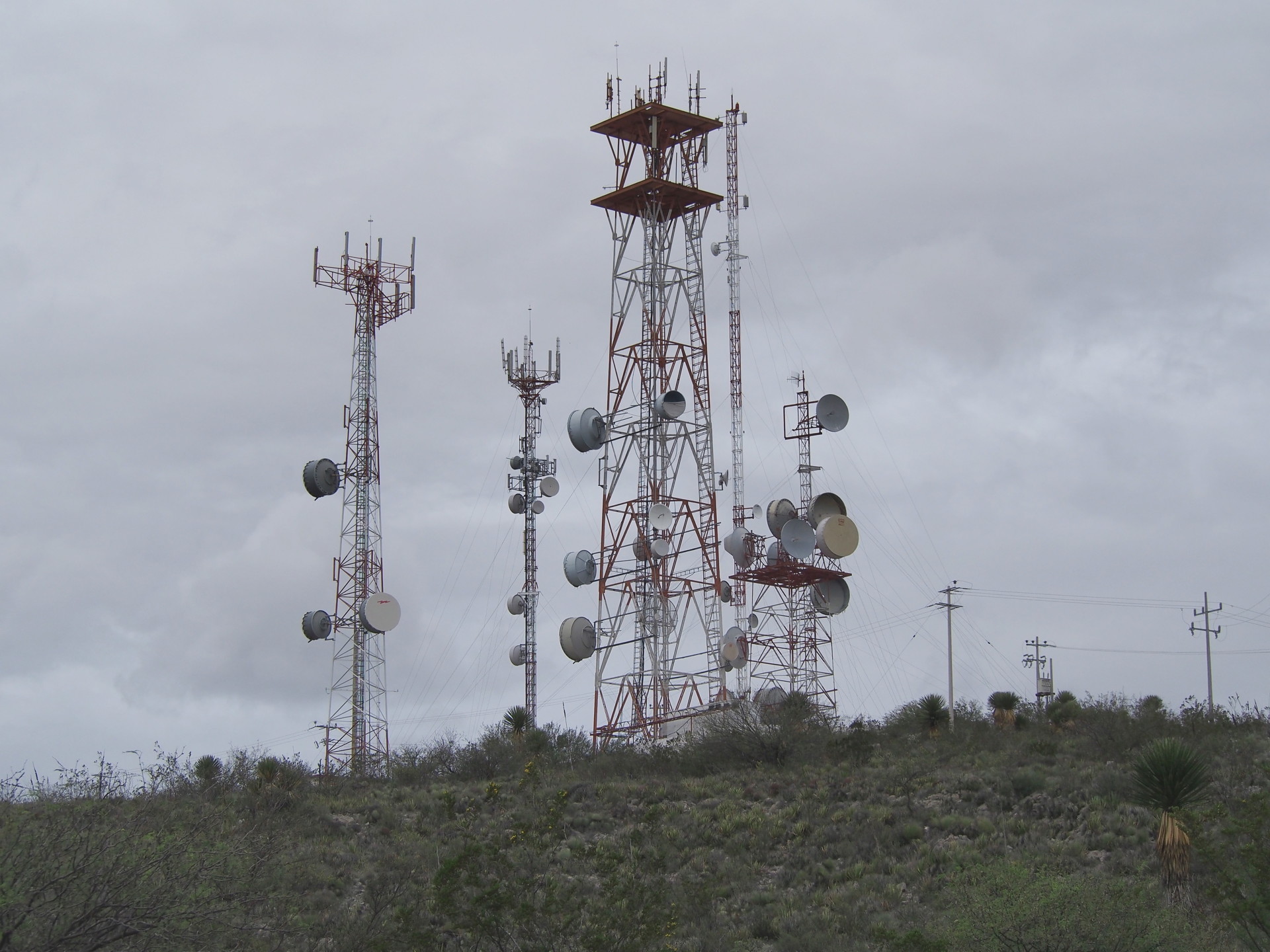
I have put together a small kmz file for Google Earth (download the file, then open in Google Earth) showing some possible locations for nature trails and stops along the Main Highway 57 and on the road to Zacatecas from Saltillo. Most sites are near the roads leading to microwave stations. These are not the best sites – they are close to the highways and would not be idea for camping and would be subject to some road noise. Better sites would be at least 5 km from the highways, but would require longer detours for the traveling public and access roads that might require routine maintenance. Readers of this page will certainly have better suggestions for possible sites. The idea here is to simply start the discussion. The goal is to develop a network of ecotouristic reserves that educate the public and provide alternatives to the mass-tourism that Mexico is known for (at least internationally).
Cactophiles and conservation-oriented individuals, those that know about the poaching of rare succulents, may be wary of this proposal. Plant theft is hard to control, and if people are shown what is out there it will be easier for them to find such plants and dig them up. The main answer to this concern is that the benefit of educating the public will exceed the possible loss of plants. In any case, habitat loss from agriculture, ranching and urban development will far exceed plant poaching losses. Despite this, our suggestion is that such reserves and nature trails do not pass near locations of rare succulents. (They may be present on the reserves but such plants might only be visited only with a reserve guide and only to specialists or educators.) The goal of the reserves would be to highlight the more common plants of each region and to generate a deeper interest in the subject of natural history (and environmental conservation). Even the more common species are usually poorly appreciated by the public (in any country).
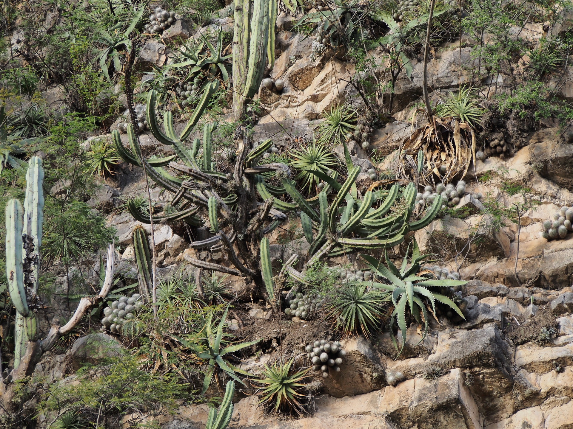
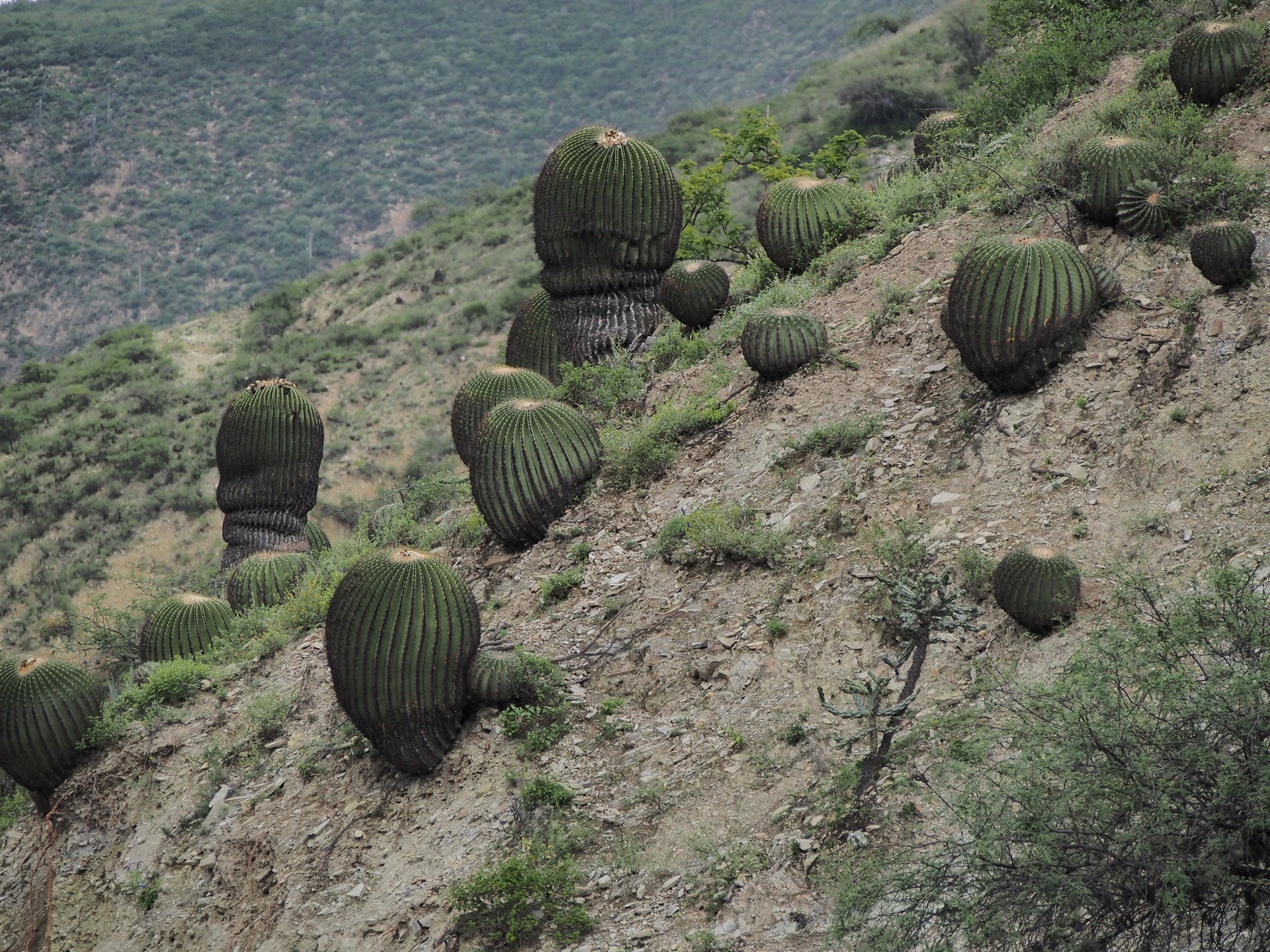
I have put together some images from various trips to show some of the “issues” associated with plant exploration along Mexican roads. I have put text below each image so that the content is clearer.